|
|
|
|
|

|
Picton Road, South Western Highway, Coalfields Highway, Arthur Road, Wagin-Dumbleyung Road, Dumbleyung-Lake Grace Road & Newdegate-Ravensthorpe Road (State Route 107) - Collie To Arthur River |
Statistics:
Route Numbering:
General Information:
SR107 connects the coast of Western Australia, with the state's coalfields and wheat belt. The road is generally rural road / rural highway standard and runs in a generally east to west fashion from end to end. SR107 forms the route 5 part of the official heavy haulage route system in Southwestern Western Australia.1 The route also features the Lake King Causeway at the town of Lake King. It allows motorists to cross 10 kms of salt lakes and is the longest WA road built across a salt lake. 2
The multiplexes along the route include SR30 (Albany Hwy) at Arthur River.
Click here for the former alignment between Collie and Arthur River
| Collie to Arthur River | Arthur River to collie | |||
| Preview: | Description: | Preview: | Description: | |
 |
Piavanini Road Intersection: Travelling eastbound at Ewington, near Collie. May 2008. Image © Paul Rands |
 |
Advance Directional Sign: AD sign on Albany Hwy (SR107 / SR30) at Arthur River approaching Coalfields Hwy (SR107), April 2018. The SR30 duplex ends at this intersectin Image © Paul Rands |
|
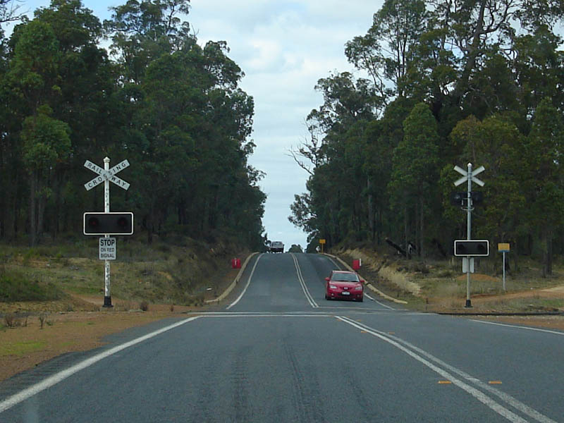 |
Level Crossing: Eastbound as you pass through the Ewington area. May 2008. Image © Paul Rands |
 |
Distance Sign: RD sign at Arthur River after Albany Hwy (SR30), April 2018. Image © Paul Rands |
|
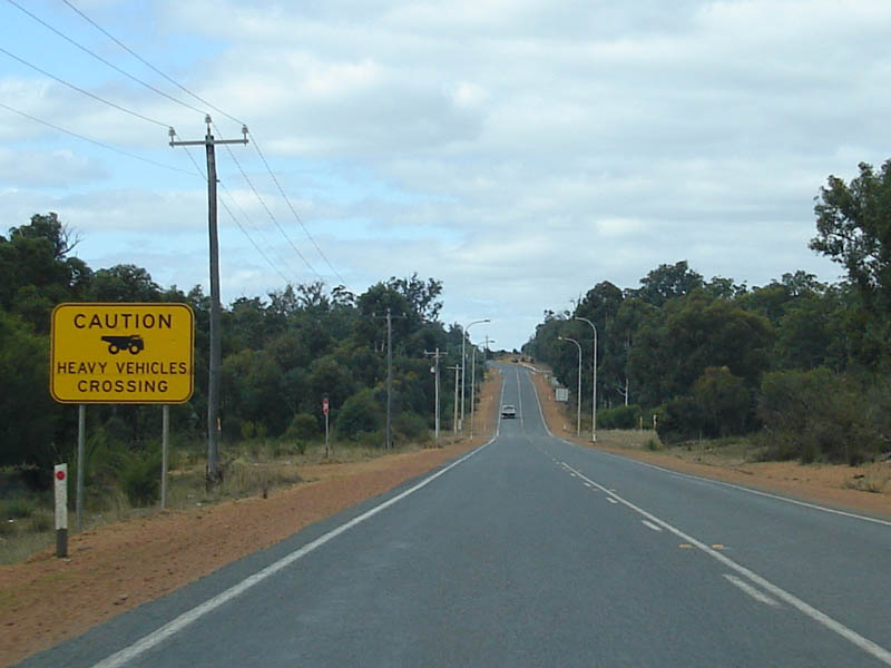 |
Heavy Vehicles Crossing Warning Sign: Eastbound at Shotts near Collie is a mine vehicle crossing, pretty unexciting junction, just a dirt track with a few street lights where it crosses the road. May 2008. Image © Paul Rands |
 |
Advance Directional Sign: AD sign at Darkan approaching Moodiarrup Rd & Williams-Darkan Rd, April 2014. Image © Terry Siva |
|
 |
Collie River: Crossing the Collie River near the town of Muja, May 2008. Image © Paul Rands |
|||
 |
Trailblazer: Eastbound reassurance marker in the Buckingham area, May 2008. Image © Paul Rands |
|||
 |
Council Sign: Welcome to West Arthur council area, eastbound at Buckingham. May 2008. Image © Paul Rands |
|||
 |
Advance Directional Sign: Eastbound AD sign approaching Bowelling Rd at Boolading, May 2008. Image © Paul Rands |
|||
 |
Bowelling Road Intersection: Eastbound at Boolading at the junction with Bowelling Road, April 2018. Click here for a photo of this location by Paul Rands from May 2008. Image © Paul Rands |
|||
 |
Collie River: Eastbound as you cross the Collie River at Boolading, May 2008. Image © Paul Rands |
|||
 |
Speed Limit Reduction: Typical speed limit change ahead signs as you approach a windy section of the highway, east of the town of Boolading, May 2008. Image © Paul Rands |
|||
 |
Winding Road: Coalfields Hwy as it winds its way through the hills east of the Boolading town centre, May 2008. Image © Paul Rands |
|||
 |
Typical Conditions: Eastbound between Boolading and Darkan, May 2008. Image © Paul Rands |
|||
 |
Entering The Blackwood Catchment: Sign announcing that we are entering the Blackwood Catchment area near Darkan. May 2008. Image © Paul Rands |
|||
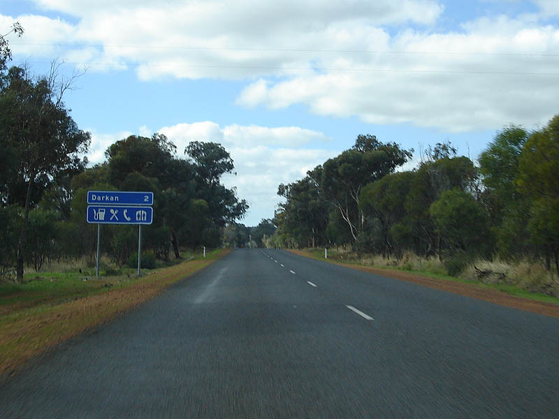 |
Services Sign: Typical services sign assembly as you enter the Darkan area. May 2008. Image © Paul Rands |
|||
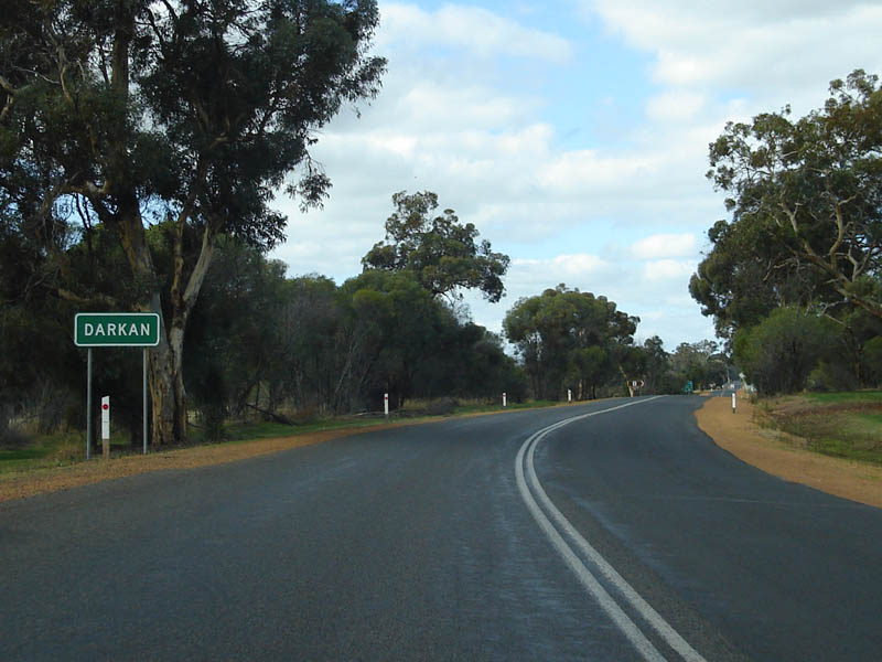 |
Darkan: Eastbound with official signage announce the town of Darkan. May 2008. Image © Paul Rands |
|||
 |
Advance Directional Sign: Approaching the intersection with Williams-Darkan Road and Moodiarrup Road at Darkan. May 2008. Image © Paul Rands |
|||
 |
Entering Darkan Town Centre: Large timber welcome sign as you enter the town of Darkan, May 2008. Image © Paul Rands |
|||
 |
Fisher Street Intersection: Eastbound at the Fisher Street intersection in Darkan, May 2008. Image © Paul Rands |
|||
 |
Darkan: Eastbound as SR107 passes through the down of Darkan. The route actually bypasses the main town centre. May 2008. Image © Paul Rands |
|||
 |
Distance Sign: Eastbound RD sign as you leave the town of Darkan, May 2008. Image © Paul Rands |
|||
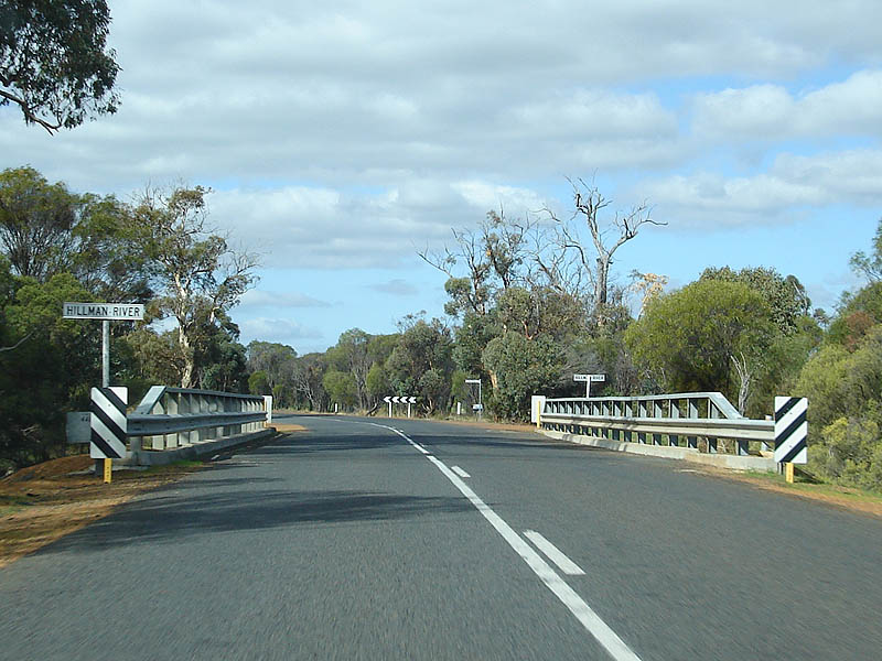 |
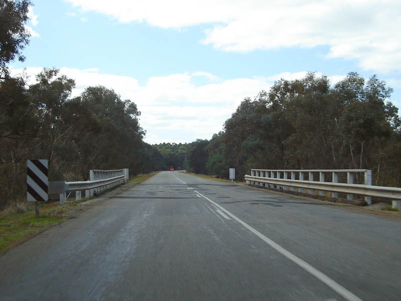
Hillman River: Eastbound at Darkan as you cross the Hillman River, with McDonald Road in the distance, May 2008. Image © Paul Rands |
|||
 |
Brown Bridge: Approaching the Brown Bridge, eastbound at Arthur River, May 2008. Image © Paul Rands |
|||
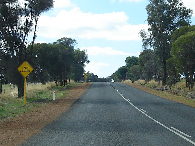 |
Farm Crossing Warning Sign: Unusual Farm Crossing warning sign at Arthur River, May 2008. Image © Paul Rands |
|||
 |
AD Sign: Advance directional signage as you approach Albany Hwy (SR30) at Arthur River, April 2018. Image © Paul Rands |
|||
 |
Entering Arthur River: Driving eastbound into Arthur River as you approach the Albany Hwy (SR30), April 2018. Image © Paul Rands |
|||
 |
Fingerboard Assembly: Typical Western Australian fingerboards on the corner of Albany Hwy (SR30) and Coalfields Hwy (SR107) at Arthur River. April 2018. Image © Paul Rands |
|||
 |
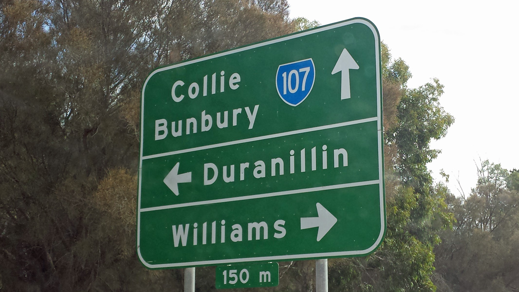
Advance Directional Sign: Coalfields Hwy (SR107) with the Albany Hwy (SR30) duplex at Arthur River approaching the intersection with Arthur Rd (SR107). April 2011. Image © Peter Renshaw |
|||
 |
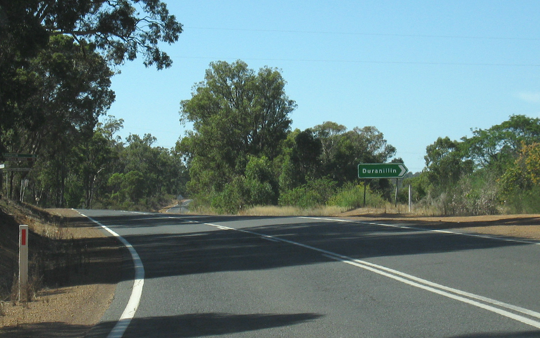
Arthur Road Intersection: Coalfields Hwy (SR107) with the Albany Hwy (SR30) duplex at Arthur River, at the junction with Arthur Rd (SR107), April 2011. This is the end of the SR107 duplex. Image © Peter Renshaw |
|||
 |
Distance Sign: Reassurance directional sign after the junction with Arthur Rd (SR107), April 2011. Image © Peter Renshaw |
|||
| Click here for the continuation of SR107 between Collie and Bunbury | ||||
1 Main Roads Western Australia
2 Lake Grace Shire
Last updated: 08-Mar-2017 20:51
This site © Paul Rands. All rights reserved. Some portions © (copyright) by their respective and credited owners. Permission must be obtained before using any images from this site. For details, please email by clicking here.