|
|
|
|
|
 |
Coolgardie-Esperance Highway, Roe Highway, Great Eastern Highway Bypass & Great Eastern Highway (National Highway 94) - Northam To Merredin |
Statistics:
Route Numbering:

General Information:
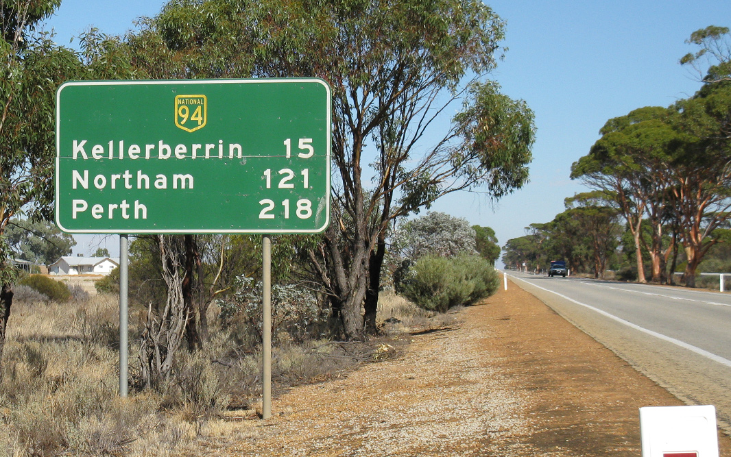
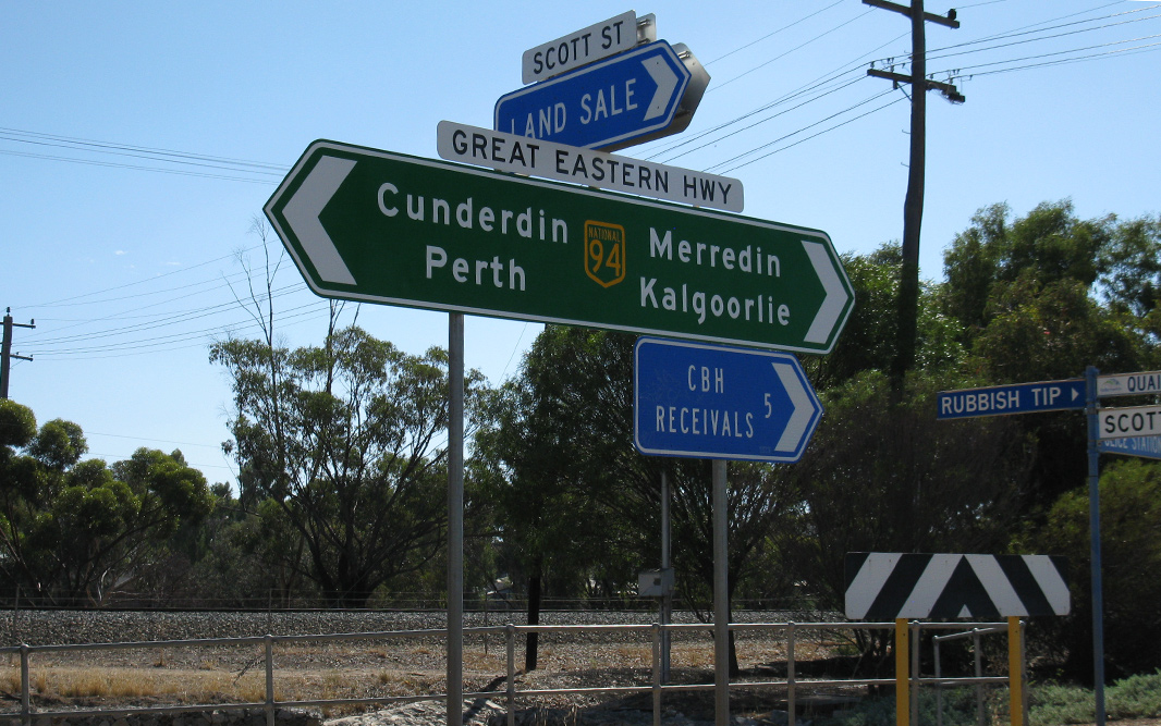
National Highway 94 is a major route in WA, directly linking the capital city of Perth with the mining and goldfield regions in the eastern part of the state, such as Kalgoorlie and Norseman, it also connects to National Highway 1, the Eyre Highway, which is the major link, via the Nullarbor Plain between the east and west coasts of Australia.
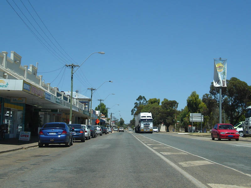
Outside of Perth, the route is bitumen paved single carriageway roadway. Some overtaking lanes exist along the route between Coolgardie and Perth's outer suburbs. Inside the metropolitan area, the route varies from mutli-lane arterial road to expressway standard.
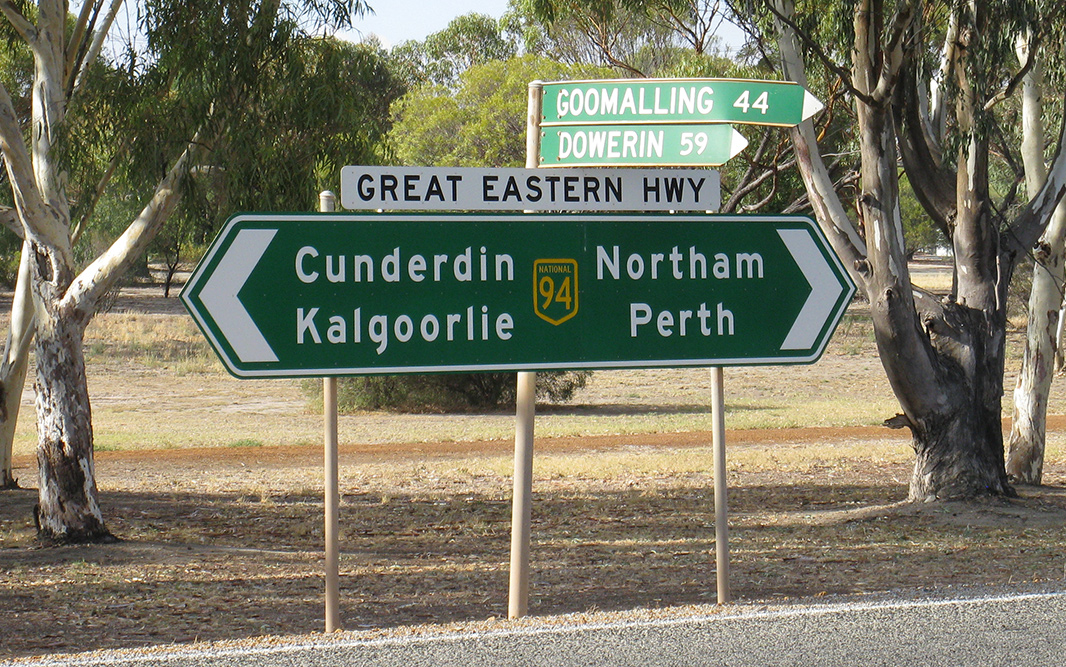
The National Route 1 multiplex starts at Causeway at Burswood and ends at the intersection of Great Eastern Highway in Guildford. The State Route 3 multiplex starts at Great Eastern Highway, travels along Roe Highway before the multiplex ends at the traffic signals on the corner of Roe Highway and Great Eastern Highway Bypass at Hazelmere.
The highway generally runs parallel with the Mundaring to Kalgoorlie water pipeline, which pipes drinking water drawn from Mundaring Weir near Perth to Kalgoorlie.
History:
| Merredin to Northam | Northam to Merredin | |||
| Preview: | Description: | Preview: | Description: | |
 |
Merredin Services Sign: Westbound at Merredin. December 2007. Image © Paul Rands |
 |
Intersection Directional Sign: ID sign at Irishtown approaching Irishtown Rd, April 2018. Image © Paul Rands |
|
 |
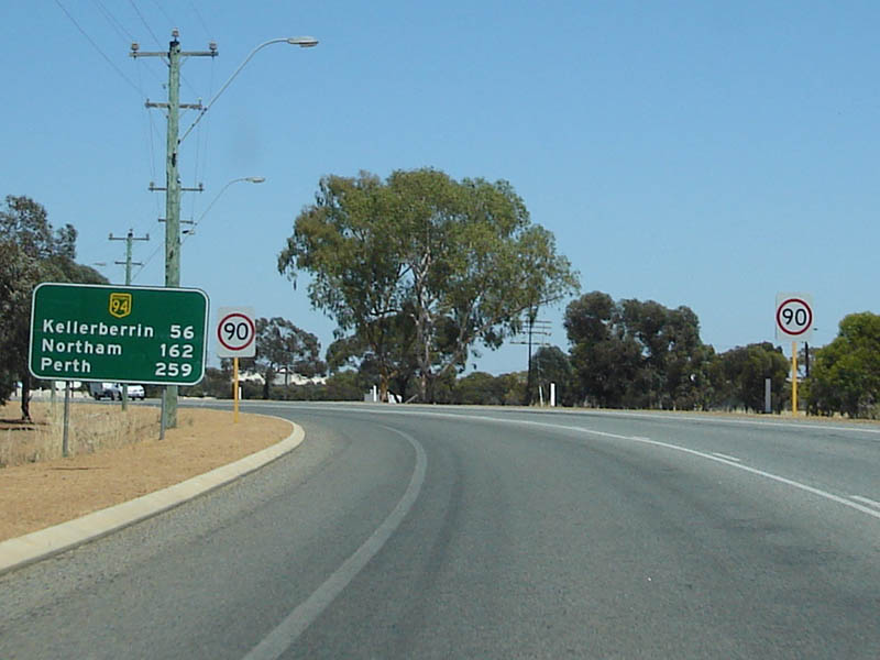
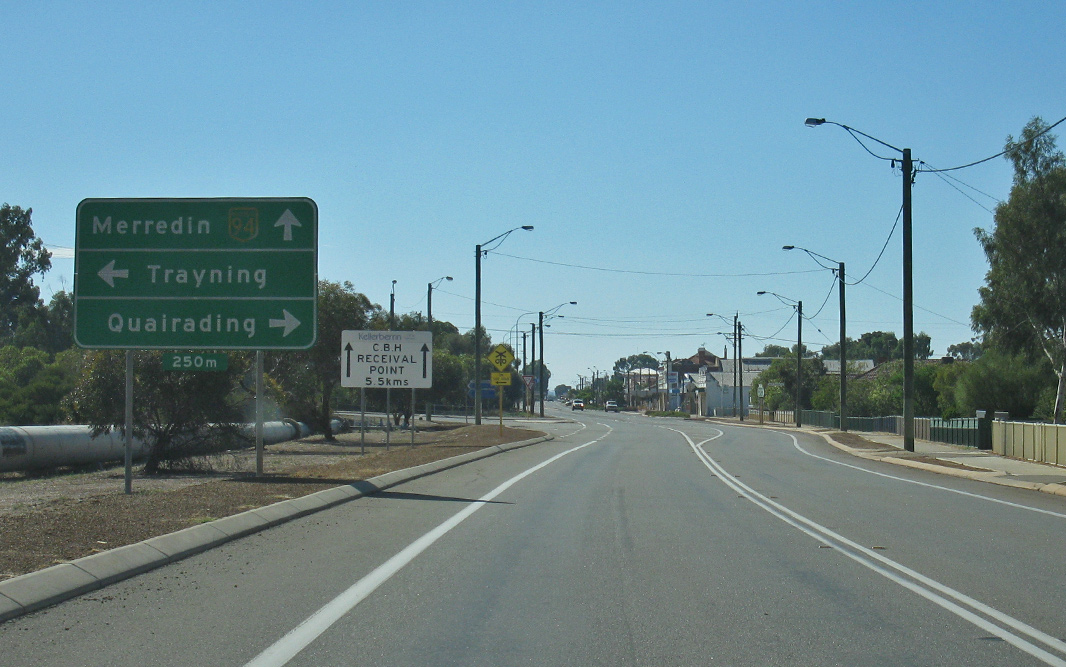
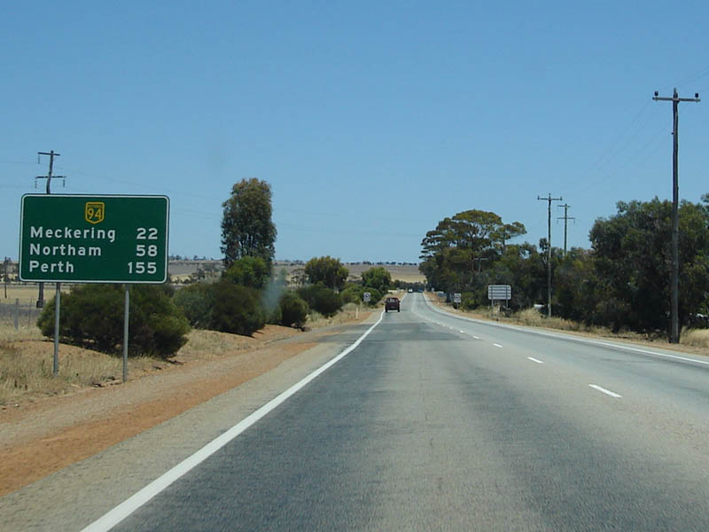
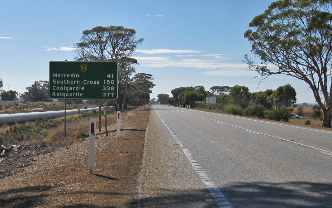
Narembeen Road Intersection: Sign indicating you're entering Merredin and also the approach to Narembeen Road. December 2007. Merredin is located between Perth and Kalgoorlie; 257 km from Perth and 334 km from Kalgoorlie. 5 Image © Paul Rands |
 |
Reassurance Directional Sign: Distance sign at Irishtown, April 2018. Image © Paul Rands |
|
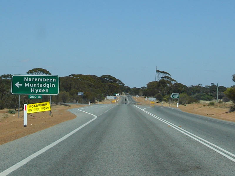 |
Narembeen Road AD Sign: Advance directional sign for Narembeen Road, westbound at Merredin. December 2007. Image © Paul Rands |
 |
Advance Directional Sign: AD sign at Irishtown approaching Northam-Pithara Rd (SR115), April 2018. Image © Paul Rands |
|
 |
Exhaust Brakes Sign: Sign asking truck drivers to reduce their use of exhaust brakes as they travel through Merredin. December 2007. Image © Paul Rands |
 |
Northam-Pithara Road: Corner of Great Eastern Hwy (NH94) and Northam-Pithara Rd (SR115) at Irishtown, April 2018. Image © Paul Rands |
|
 |
Distance Sign: Westbound RD sign at Merredin. December 2007. Image © Paul Rands |
 |
Reassurance Directional Sign: Distance sign at Malabaine, April 2018. Image © Paul Rands |
|
 |
Road Safety Sign: Sign entailing what police are focusing on in the traffic offenses department. December 2007. Image © Paul Rands |
 |
Reassurance Directional Sign: Distance sign at Malabaine, April 2018. Image © Paul Rands |
|
 |
Entering Merredin: Westbound as you enter the town of Merredin. December 2007. Image © Paul Rands |
 |
Advance Directional Sign: AD sign at Grass Valley approaching Vivian St, April 2018. Image © Paul Rands |
|
 |
Approaching Level Crossing: Approaching the railway that crosses the highway (locally known as Todd Street). Looking westbound near Farrar Parade. December 2007. Image © Paul Rands |
 |
Intersection Directional Sign: ID sign at the junction with Quellington Rd at Meckering, April 2018. Image © Paul Rands |
|
 |
Intersection Directional Sign: ID sign at Merredin facing Bruce Rock-Merredin Rd, April 2018. Image © Paul Rands |
 |
Meckering: Great Eastern Hwy (NH94) as it passes through the town of Meckering, April 2018. Image © Paul Rands |
|
 |
Advance Directional Sign: AD sign at Merredin approaching Barrack St, April 2018. Image © Paul Rands |
 |
Meckering: Great Eastern Hwy (NH94) near Gabbedy Pl, as it passes through the town of Meckering, April 2018. Image © Paul Rands |
|
 |
Distance Sign: Westbound distance sign as you leave Merredin. December 2007. Image © Paul Rands |
 |
Intersection Directional Sign: ID sign assembly at the junction with Dunlop St, Meckering, April 2018. Image © Paul Rands |
|
 |
Intersection Directional Sign: ID sign facing the No. 4 Pumping Station access road at Merredin, April 2018. Image © Paul Rands |
 |
Reassurance Directional Sign: Distance sign at Meckering, April 2018. Image © Paul Rands |
|

|
Entering Nangeenan: Entering the Nangeenan locality. December 2007. Image © Paul Rands |
 |
Services Sign: Services sign at Cunderdin, April 2018. Image © Paul Rands |
|

|
Services Sign: Services sign for village of Hines Hill. December 2007. Image © Paul Rands |
 |
Entering Cunderdin: Gt Eastern Hwy (NH94) as it enters the town of Cunderdin, April 2018. Image © Paul Rands |
|
|
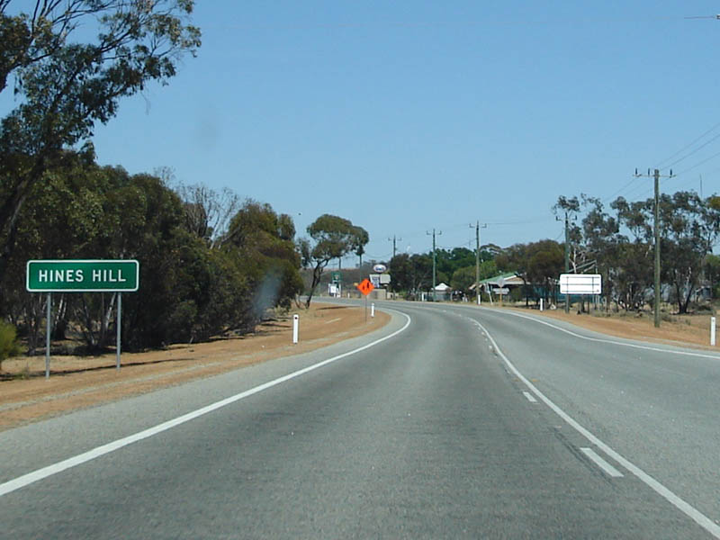
Entering Hines Hill: Looking west as you enter Hines Hill. December 2007. Image © Paul Rands |
 |
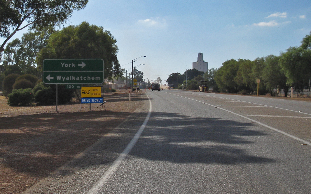
Advance Directional Sign: AD sign approaching Cunderdin-Wyalkatchem Rd at Cunderdin, April 2018. Image © Paul Rands |
|

|
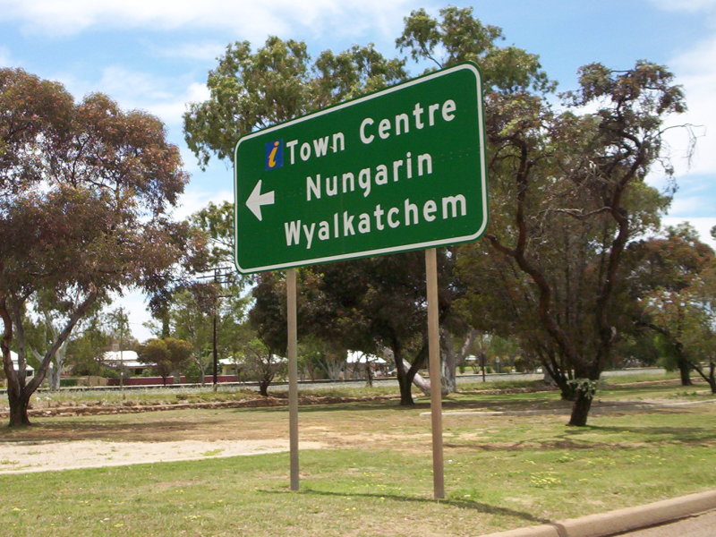
Town Centre: Great Eastern Hwy (NH94) passing through the town of Hines Hill. December 2007. Image © Paul Rands |
 |
Intersection Directional Sign: ID sign facing Cunderdin-Wyalkatchem Rd at Cunderdin, April 2018. Image © Paul Rands |
|

|
Services Sign: Sign listing the available services at the Doodlakine roadhouse. December 2007. Image © Paul Rands |
 |
Advance Directional Sign: AD sign approaching Cunderdin-Quairading Rd at Cunderdin, April 2018. Image © Paul Rands |
|
|
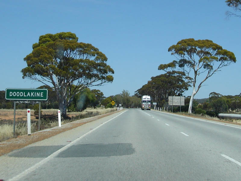
Town Sign: Sign announcing Doodlakine. December 2007. Image © Paul Rands |
 |
Intersection Directional Sign: ID sign at the junction with Cunderdin-Quairading Rd at Cunderdin, April 2018. Image © Paul Rands |
|
 |
Intersection Directional Sign: ID sign facing Doodlakine-Bruce Rock Rd at Doodlakine, April 2018. Image © Paul Rands |
 |
Reassurance Directional Sign: Distance sign at Cunderdin, April 2018. Image © Paul Rands |
|
 |
Distance Sign: Reassurance distance sign as you leave Doodlakine. April 2018. Image © Paul Rands |
 |
Services Sign: Services sign at Tammin, April 2018. Image © Paul Rands |
|
|
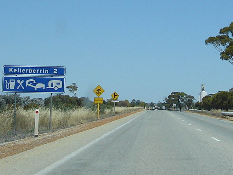
Kellerberrin Services
Sign: Another services sign, this time for the small town of Kellerberrin. December 2007. Image © Paul Rands |
 |
Entering Tammin: Gt Eastern Hwy (NH94) as it enters the town of Tammin, April 2018. Image © Paul Rands |
|
|
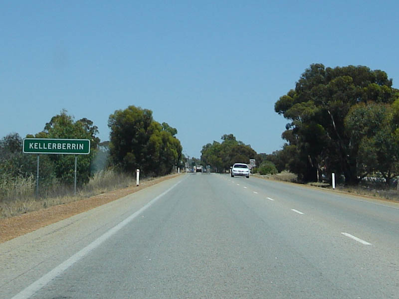
Entering
Kellerberrin: Westward into Kellerberrin. December 2007. Image © Paul Rands |
 |
Advance Directional Sign: AD sign at Tammin approaching Station Rd, April 2018. Image © Paul Rands |
|

|
Kellerberrin Welcome
Sign: Nice brick and metal welcome sign erected by council as you enter Kellerberrin, one of the larger towns between Kalgoorlie and Northam. December 2007. Image © Paul Rands |
 |
Fingerboards: Fingerboards at the corner of Gt Eastern Hwy (NH94) and Station Rd at Tammin, April 2018. Image © Paul Rands |
|
|
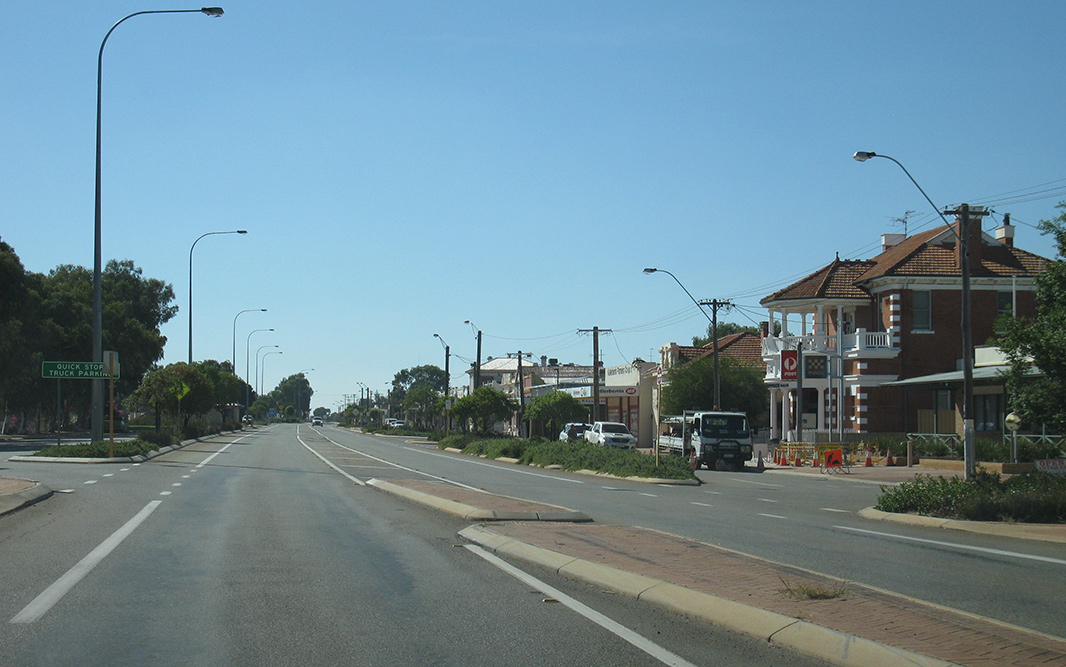
Kellerberrin: This is Massingham Street (Great Eastern Hwy) through Kellerberrin, it's also the main street. The shire has a population of approximately 1200, with a town population of approximately 900 2. December 2007. Image © Paul Rands |
 |
Intersection Directional Sign: ID sign at the corner of Gt Eastern Hwy (NH94) and Station Rd at Tammin, April 2018. Image © Paul Rands |
|
 |
Intersection Directional Sign: ID sign facing Scott St, Kellerberrin, April 2018. Image © Paul Rands |
 |
Reassurance Directional Sign: Distance sign at Tammin, April 2018. Image © Paul Rands |
|
 |
RD Sign: Distance sign as leave Kellerberrin. April 2018. Click here for a photo by Paul Rands from December 2007. Image © Paul Rands |
 |
Services Sign: Services sign at Kellerberrin, April 2018. Image © Paul Rands |
|
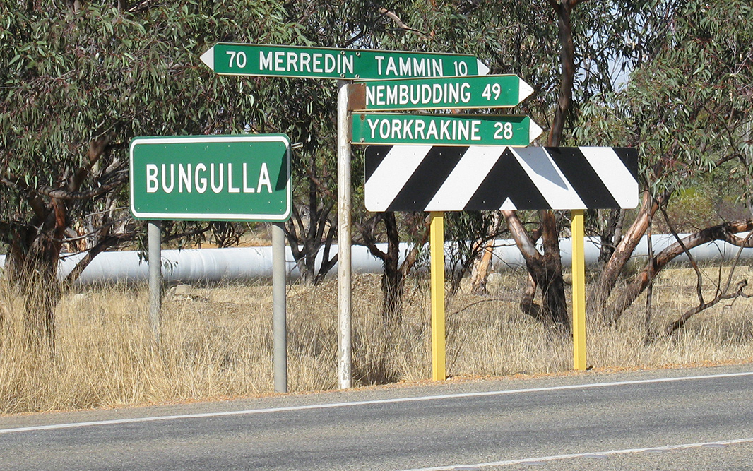 |
Entering bungulla: Entering the small village of Bungulla. Looking west at Bungulla North Road. April 2018. Image © Paul Rands |
 |
Entering Kellerberrin: Gt Eastern Hwy (NH94) as it enters the town of Kellerberrin, April 2018. Image © Paul Rands |
|
|
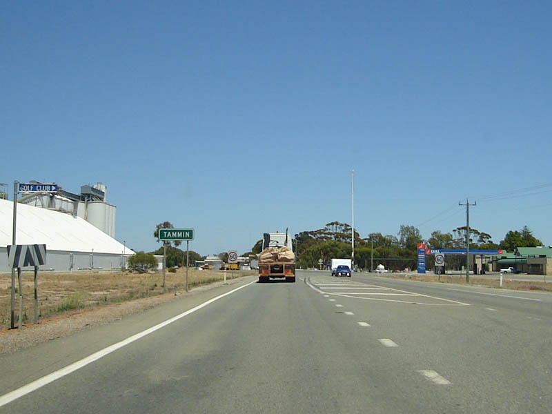
Entering Tammin: Entering the town of Tammin at the intersection with Yorkrakine Rd. December 2007. Tammin was first settled in 1893 and the town of Tammin was gazetted in 1899. 5 Image © Paul Rands |
 |
Advance Directional Sign: AD sign at Kellerberrin approaching West Crossing Rd & Scott St, April 2018. Image © Paul Rands |
|

|
Grain Silos: Grain silos as you enter Tammin. December 2007. The Shire of Tammin, including the settlements of Bungulla and Yorkrakine, has a total population of 450. 5 Image © Paul Rands |
 |
Intesection Directional Sign: ID sign at the junction with West Crossing Rd at Kellerberrin, April 2018. Image © Paul Rands |
|

|
Tammin Town Centre: Looking west along Donnan Street - Tammin's main street. December 2007. Image © Paul Rands |
 |
Intesection Directional Sign: ID sign at the junction with West Crossing Rd at Kellerberrin, April 2018. Image © Paul Rands |
|

|
Advance Directional
Sign: Approaching Tammin-Wyalkatchem Road in Tammin. December 2007. Image © Paul Rands |
 |
Kellerberring Town Centre: Great Eastern Hwy (NH94) as it passes through Kellberrin, April 2018. Image © Paul Rands |
|
 |
Intersection Directional Sign: ID sign at the junction with Station Rd (Tammin-Wyalkatchem Rd) at Tammin, April 2018. Image © Paul Rands |
 |
Intesection Directional Sign: ID sign at the junction with East Crossing Rd at Kellerberrin, April 2018. Image © Paul Rands |
|
 |
Distance Sign: RD sign as you leave the town of Tammin. April 2018. Image © Paul Rands |
 |
Intesection Directional Sign: ID sign facing East Crossing Rd at Kellerberrin, April 2018. Image © Paul Rands |
|

|
Services Sign: Services signage as you approach the town of Cunderdin. December 2007. Image © Paul Rands |
 |
Mitchell Street: Corner of Gt Eastern Hwy (NH94) and Mitchell St, Kellerberrin, April 2018. Image © Paul Rands |
|

|
Entering Cunderdin: Sign announcing the small village of Cunderdin. December 2007. Image © Paul Rands |
 |
Reassurance Directional Sign: Distance sign at Kellerberrin, April 2018. Image © Paul Rands |
|
 |
Cubbine Street: Corner of Gt Eastern Hwy (NH94) and Cubbine St (Cunderdin-Quairading Rd) at Cunderdin, April 2018. Image © Paul Rands |
 |
Advance Directional Sign: ID sign used as an AD sign at Kellerberrin approaching Kellerberrin-Shackleton Rd, April 2018. Image © Paul Rands |
|
 |
Intersection Directional Sign: ID sign facing Cubbine St (Cunderdin-Quairading Rd) at Cunderdin, April 2018. Image © Paul Rands |
 |
Kellerberrin-Shackleton Road: Corner of Great Eastern Hwy (NH94) and Kellerberrin-Shackleton Rd at Kellerberrin, April 2018. Image © Paul Rands |
|
|
Reassurance Directional Sign: Distance sign on the western side of Cunderdin. December 2007. Image © Paul Rands |
 |
Services Sign: Services sign at Doodlakine, April 2018. Image © Paul Rands |
|

|
Reassurance Marker: NH94 trailblazer between Cunderdin and Meckering. December 2007. Image © Paul Rands |
 |
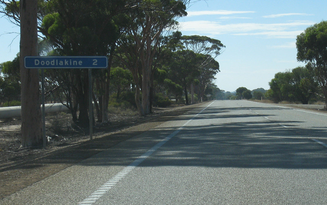
Entering Doodlakine: Gt Eastern Hwy (NH94) as it enters the town of Doodlakine, April 2018. Image © Paul Rands |
|

|
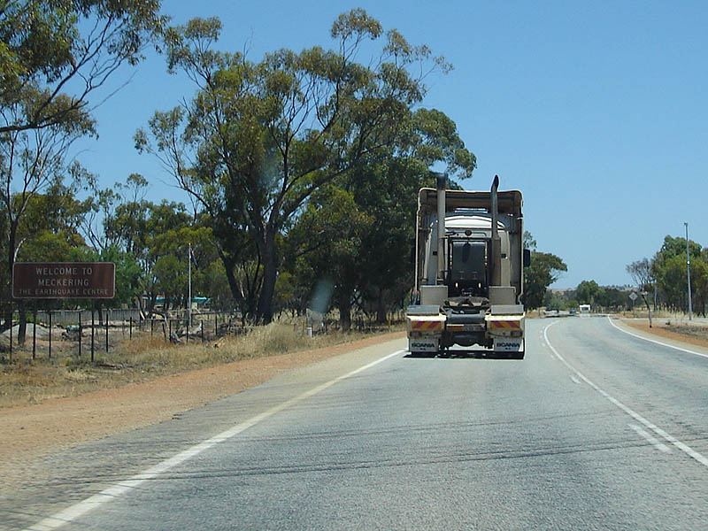
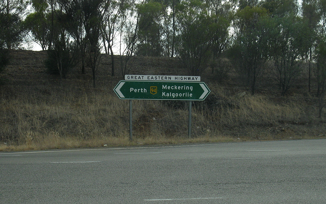
Services Sign: Sign indicating services available in Meckering. December 2007. Image © Paul Rands |
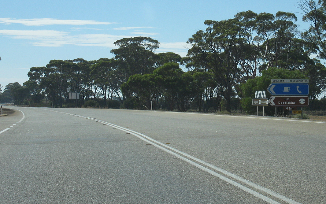 |
Doodlakine-Kununoppin Road: Corner of Gt Eastern Hwy (NH94) and Doodlakine-Kununoppin Rd at Doodlakine, April 2018. Image © Paul Rands |
|
 |
Entering Meckering: Westbound into the town of Meckering. December 2007. Image © Paul Rands |
 |
Advance Directional Sign: AD sign at Doodlakine approaching Doodlakine-Bruce Rock Rd, April 2018. Image © Paul Rands |
|
 |
Looking West: Driving through Meckering, westbound. December 2007. Image © Paul Rands |
 |
Reassurance Directional Sign: Distance sign at Doodlakine, April 2018. Image © Paul Rands |
|
 |
Gabbedy Place: Corner of Gabbedy Place and Throssell Street (Great Eastern Highway) in Meckering. December 2007. Image © Paul Rands |
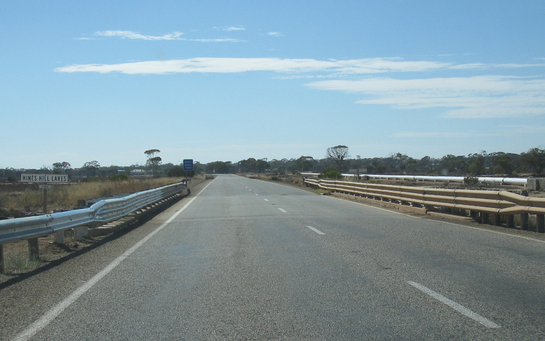 |
Hines Hill Lakes: Great Eastern Hwy (NH94) as it crosses Hines Hill Lakes at Hines Hill, April 2018. Image © Paul Rands |
|
 |
Distance Sign: RD sign as you leave Meckering. December 2007. Image © Paul Rands |
 |
Hines Hill Lakes: Great Eastern Hwy (NH94) as it crosses Hines Hill Lakes at Hines Hill, April 2018. Image © Paul Rands |
|
 |
Black Fingerboards: Old black fingerboards facing Meenaar South Rd at Meenaar, April 2018. Image © Paul Rands |
 |
Entering Hines Hill: Gt Eastern Hwy (NH94) as it enters the town of Hines Hill, April 2018. Image © Paul Rands |
|
 |
Road Train Assembly
Area Sign: Approaching Northam this sign for the road train assembly area located near the Yilgarn Avenue intersection. December 2007. Image © Paul Rands |
 |
Fitzpatrick Road: Corner of Great Eastern Hwy (NH94) and Fitzpatrick Rd at Hines Hill, April 2018. Image © Paul Rands |
|
 |
Bypassed Town
Services Sign: Graphical sign indicating the bypassed town of Northam and what services are on offer if you choose to leave the highway. December 2007. Image © Paul Rands |
 |
Entering Nangeenan: Great Eastern Hwy (NH94) as it enters the town of Nangeenan, April 2018. Image © Paul Rands |
|
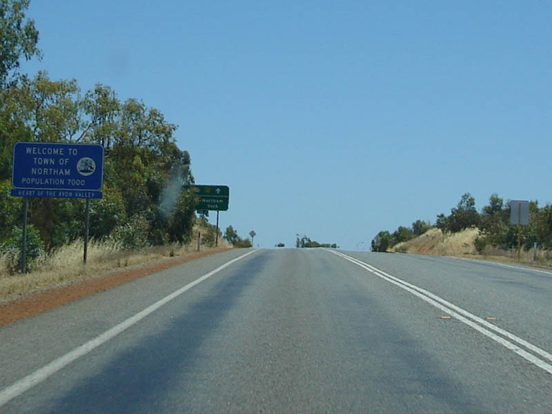 |
Northam Welcome Sign: Sign welcoming the motorists to Northam. December 2007. Image © Paul Rands |
 |
Services Sign: Services sign at Merredin, April 2018. Image © Paul Rands |
|
 |
Road Train Assembly
Exit AD Sign: Advance directional sign for the road train assembly area at Malabaine (Northam). December 2007. Image © Paul Rands |
 |
Advance Directional Sign: AD sign approaching Barrack Street in Merredin. November 2008. Image © Sean McManus |
|
 |
ID Signs: ID signs for the road train assembly area and tourist information bay off Yilgarn Avenue in Northam. December 2007. Image © Paul Rands |
 |
Intersection Directional Sign: ID sign at Merredin facing Barrack St, April 2018. Click here for a photo of this location by Sean McManus from November 2008. Image © Paul Rands |
|
 |
Yilgarn Av: ID signage at Yilgarn Avenue in Northam. December 2007. Image © Paul Rands |
 |
Advance Directional Sign: AD sign at Merredin approaching Bruce Rock-Merredin Rd (South Av), April 2018. Image © Paul Rands |
|
 |
Intersection Directional Sign: ID sign facing Yilgarn Av at Malabaine (Northam), April 2018. Image © Paul Rands |
 |
Intersection Directional Sign: ID sign at Merredin at the junction with Bruce Rock-Merredin Rd (South Av), April 2018. Image © Paul Rands |
|
 |
Distance Sign: RD sign west of the Yilgarn Av junction in Northam. December 2007. Image © Paul Rands |
 |
Advance Directional Sign: AD sign at Merredin approaching Merredin-Narembeen Rd, April 2018. Image © Paul Rands |
|
 |
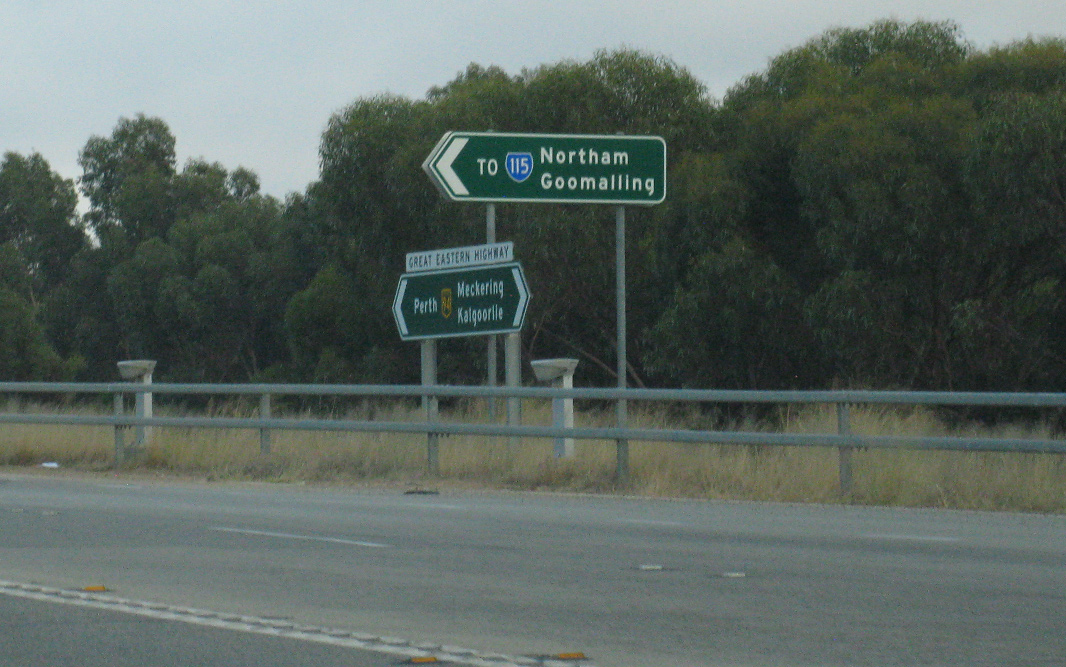
Advance Directional
Sign: AD sign approaching Goomalling Rd (link to Northam-Pithara Rd (SR115)) at Northam. April 2018. Image © Paul Rands |
 |
Intersection Directional Sign: ID sign at Merredin at the junction with Merredin-Narembeen Rd, April 2018. Image © Paul Rands |
|
 |
Mortlock River: Great Eastern Hwy (NH94) as it crosses Mortlock River via Lockyer Bridge at Malabaine, April 2018. Image © Paul Rands |
 |
Reassurance Directional Sign: Distance sign at Merredin, April 2018. Image © Paul Rands |
|
 |
Intersection
Directional Sign: ID sign at the intersection with Northam-Pithara Rd (SR115) at Irishtown. April 2018. Image © Paul Rands |
|||
 |
Intersection
Directional Sign: ID sign facing Northam-Pithara Rd (SR115) at Irishtown. April 2018. Image © Paul Rands |
|||
 |
Distance Sign: RD sign, Irishtown. April 2018. Image © Paul Rands |
|||
 |
Advance Directional Sign: AD sign at Irishtown approaching Irishtown Rd, April 2018. Image © Paul Rands |
|||
 |
Distance Sign: Another distance sign at Irishtown. April 2018. Image © Paul Rands |
|||
 |
Northam (Ngarin) Bridge: Great Eastern Hwy (NH94) crossing Northan (Ngarin) Bridge at Irishtown, April 2018. Image © Paul Rands |
|||
 |
Approaching Mitchell
Av: Approaching SR50's link road, Mitchell Avenue, Northam. December 2007. Image © Paul Rands |
|||
 |
Distance Sign: RD sign west of Mitchell Avenue in Northam. December 2007. Image © Paul Rands |
|||
 |
AD Sign: Advance directional sign approaching Newcastle Road Northam. December 2007. Image © Paul Rands |
|||
 |
Newcastle Road
Northam: Westbound on the Northam bypass. December 2007. Image © Paul Rands |
|||
 |
Monday Hill: Westbound on Monday Hill at Northam, with unusual lane warning sign. December 2007. Image © Paul Rands |
|||
| To continue along the route between
Northam and Sawyers Valley, click
here. To continue along the route between Merredin and Coolgardie, click here. |
||||
1 UBD
Concise Motoring Atlas of Australia, 3rd Edition, published by Universal
Publishers Pty Ltd. ISBN 978-0-7319-2081-5
2 Kellerberrin Shire Council
3 State Library of WA
4 Bureau of Transport and Regional
Economics, Ex-post economic evaluation of National Highway projects,
Case study 2: Northam Bypass Working paper 70.2
5 Tammin Shire Council
Last updated: 19-Jul-2020 11:02
This site © Paul Rands. All rights reserved. Some portions © (copyright) by their respective and credited owners. Permission must be obtained before using any images from this site. For details, please email by clicking here.