|
|
|
|
|
 |
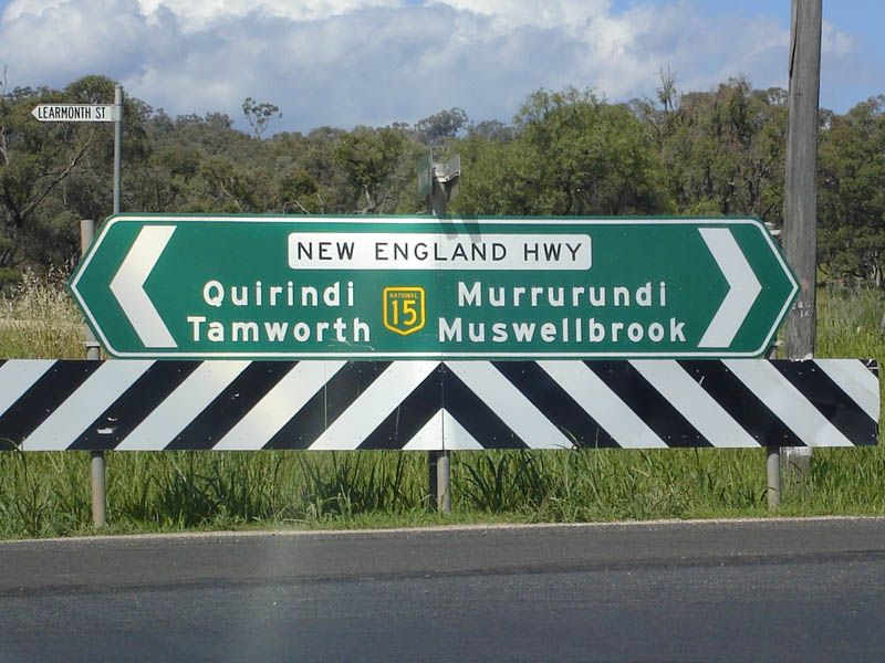
New England Highway (National Highway 15) - Murrurundi to Tamworth (Decommissioned) |
Statistics:
Route Numbering:

General Information:
National Highway 15 is one the major routes in New South Wales and Queensland. It links the farming regions of NSW to the ports at Newcastle and also to other major roads to Sydney and it's also a link to Brisbane's metropolitan area.
The route consists of single carriageway 2-lane rural highway, through to multi-lane divided sections, and includes two multiplexes: National Route 34, the Oxley Highway, between Tamworth and Bendemeer, and also National Route 38, the Gwydir Highway at Glen Innes.
History:
The New England Highway originally formed part of the Great Northern Road from Sydney via Wiseman's Ferry to the Queensland border (near Mt Lindesay), taking shape as settlement spread northward from the lower Hunter Valley. By 1851 the Great Northern Road had reached the Gap, two miles beyond Murrurundi. In 1858 it was classified as one of three Main Roads in the colony (Great Western and Great Southern) and extended from Morpeth via Maitland, Singleton, Muswellbrook, Scone, Murrurundi and Tamworth, to Armidale, a distance of about 236 miles. Captain Martindale, Chief Railway Commissioner, who was also responsible for roads, stressed the need for bridges as in many cases long circuits had to be made to find a crossing over a stream. In 1860 arrangements were in progress for building 90 culverts and minor bridges and for forming new sections of road, including a new ascent to Murrurundi Gap, which was previously steep with sharp dangerous turns. In 1865 the section of road between Muswellbrook and Murrurundi was metalled and a deviation suggested between Blandford and Murrurundi to skirt the Page River, obviating two bridges, however, such a deviation was never constructed. With the construction of the Northern Railway line from Newcastle, commenced in the 1850s and reaching Murrurundi in 1872, attention was diverted away from roads and sections of the Great Northern Road were in poor condition. Despite the impact of the railway, roads developed steadily and considerable progress was made in the bridging of rivers and creeks. 2
Click here for the former alignment in the Willow Tree area.
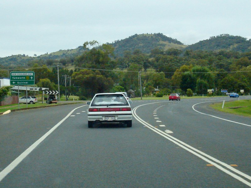
| Murrurundi to Tamworth | Tamworth to Murrurundi | |||
| Preview: | Description: | Preview: | Description: | |
 |
Great Dividing Range: The New England Hwy as it crosses the Great Dividing Range onto the Liverpool Plain at Ardglen. December 2004. Image © Paul Rands |
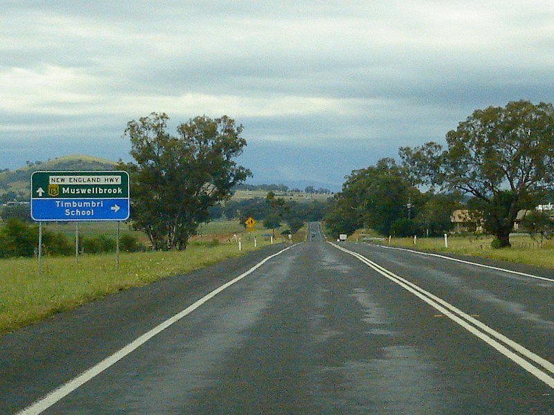 |
AD Sign: Advance directional sign approaching Kia Ora Lane at Timbumburi. December 2008. Click here for a photo of the old sign from December 2004. Image © Paul Rands |
|
 |
Advance Directional Sign: Advance directional sign for the heavy vehicle checking station at Kankool. The RTA logo is possibly covering an old DMR logo. December 2004. Image © Paul Rands |
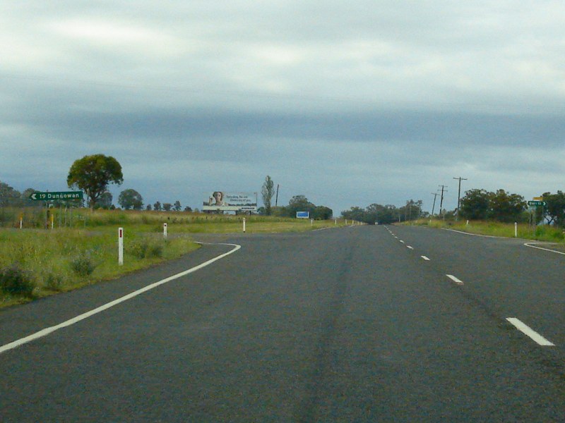 |
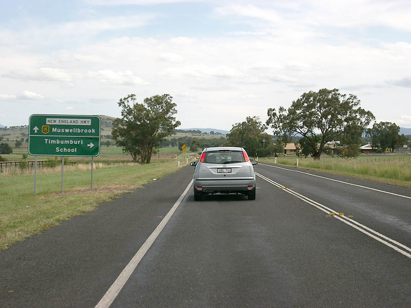
Duri-Dungowan Road: Intersection directional sign at the junction with Duri-Dungowan Rd at Timbumburi, December 2008. Image © Paul Rands |
|
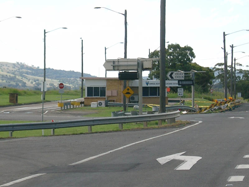 |
Kankool Heavy Vehicle Checking Station: View of the Kankool Heavy Vehicle Checking Station, which opened in 1973. December 2004. Image © Paul Rands |
 |
Duri-Dungowan Road: Intersection directional sign at the junction with Duri-Dungowan Rd at Timbumburi, August 2011. Image © Paul Rands |
|
 |
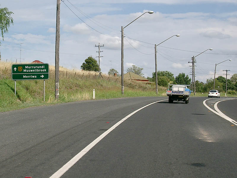
AD Sign: Advance directional sign approaching Ogden Street in Willow Tree. Ogden Street connects to the former alignment of the New England Highway. December 2004. Image © Paul Rands |
 |
Middlebrook Road: Corner of New England Hwy (NH15) and Middlebrook Rd at Goonoo Goonoo, August 2011. Image © Paul Rands |
|
 |
Intersection Directional Sign: ID sign facing Ogden St in Willow Tree. December 2004. Image © Paul Rands |
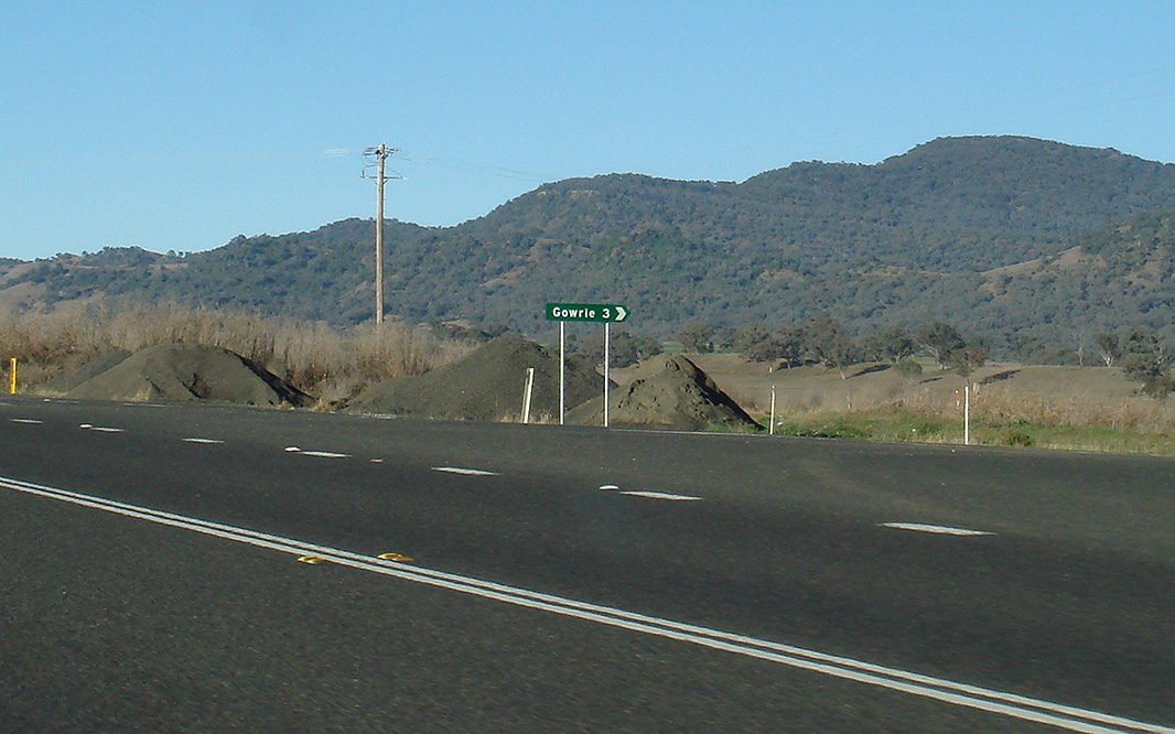 |
Top Gowrie Road: Corner of New England Hwy (NH15) and Top Gowrie Rd at Garoo, August 2011. Image © Paul Rands |
|
 |
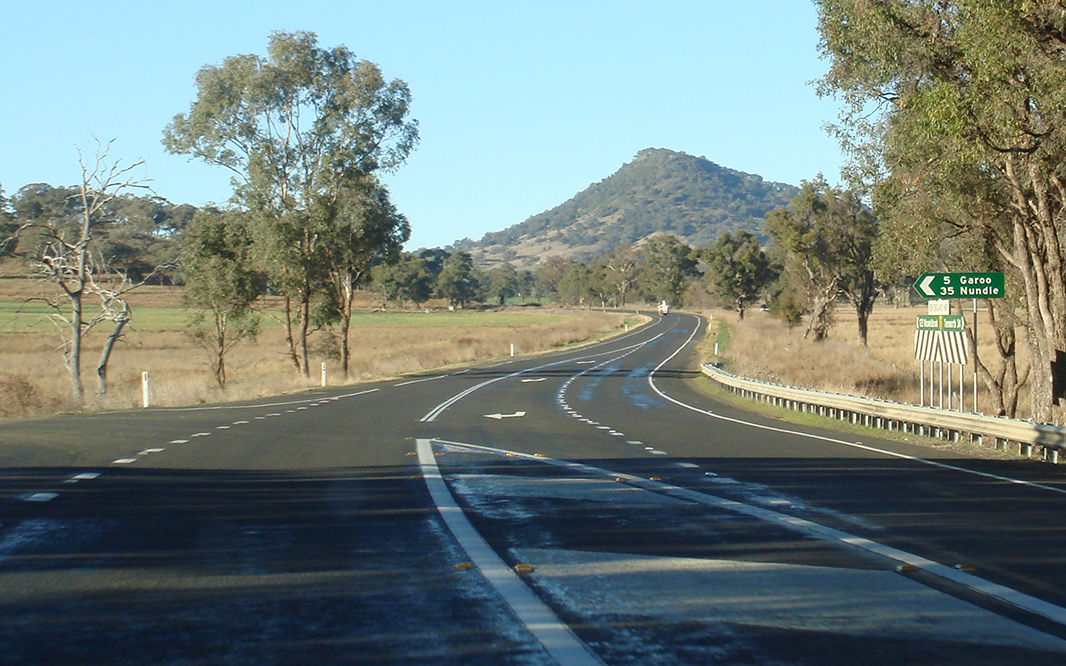
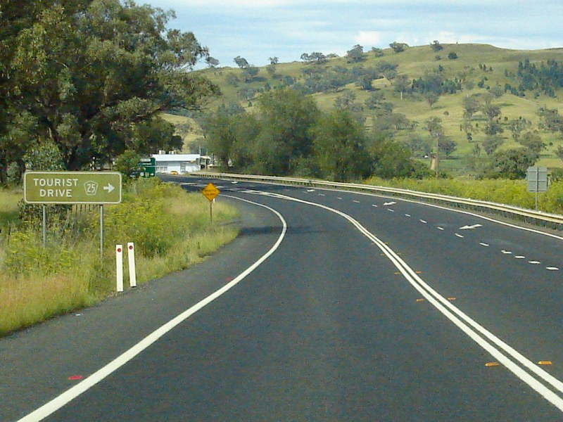
Tourist AD Sign: Advance directional sign showing an alternate route to Tamworth via Tourist Drive 25 / National Route 37 (Kamilaroi Hwy) at Willow Tree, December 2004. Image © Paul Rands |
 |
Garoo Road: Corner of New England Hwy (NH15) and Garoo Rd at Garoo, August 2011. Image © Paul Rands |
|
 |
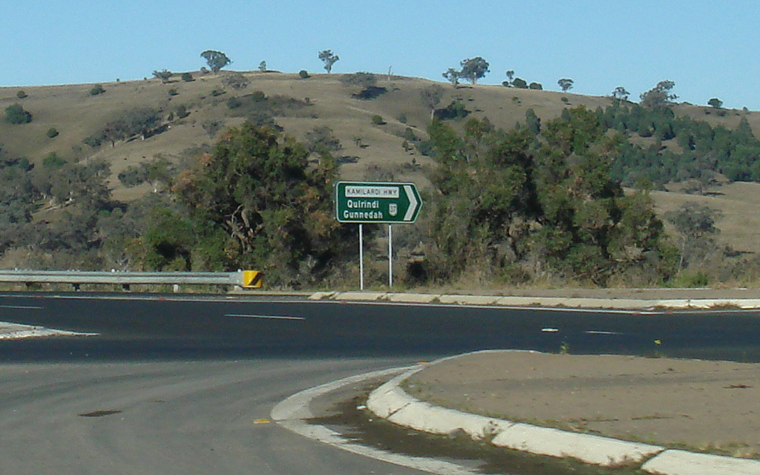
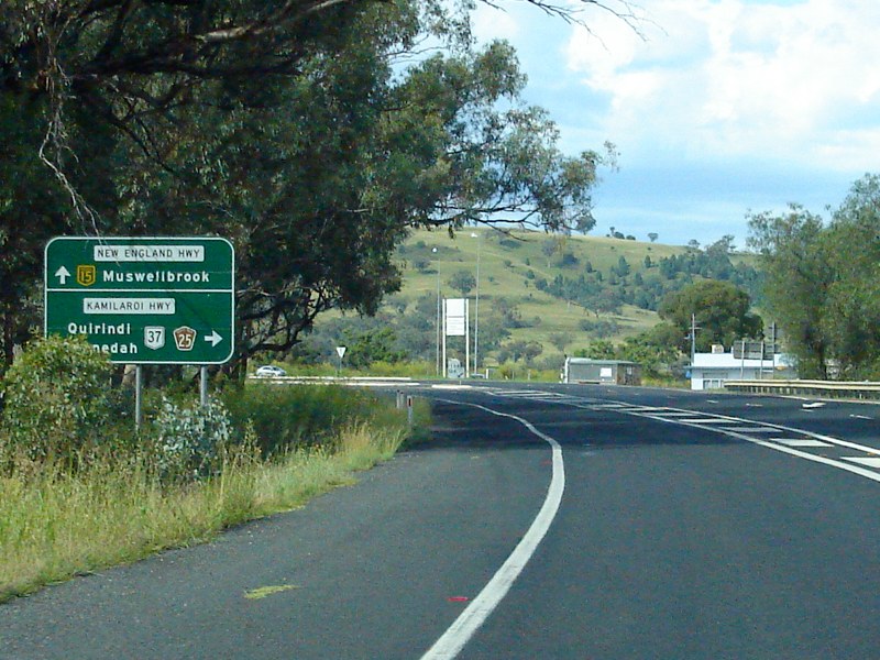
Approaching Kamilaroi Hwy: Advance directional sign approaching National Route 37 / Tourist Drive 25 at Willow Tree, December 2004. Image © Paul Rands |
 |
Gaspard Road: Corner of New England Hwy (NH15) and Gaspard Rd at Wallabadah, August 2011. Image © Paul Rands |
|
 |
Black Intersection Directional Sign: Black ID sign facing Kamilaroi Hwy at Willow Tree. This sign has since been replaced. December 2004. Image © Paul Rands |
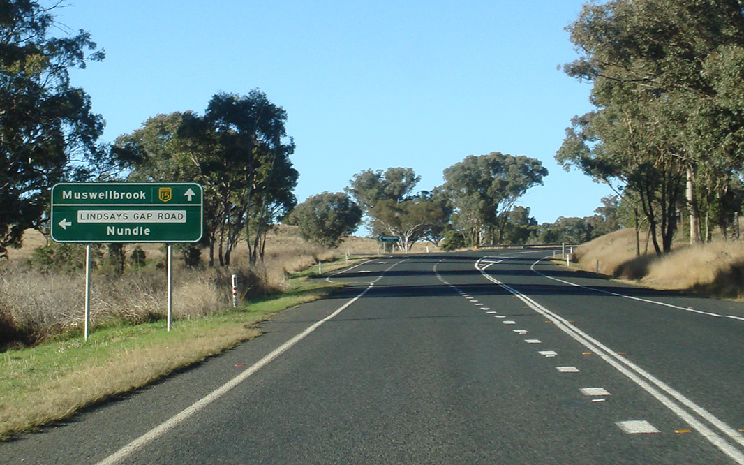 |
Advance Directional Sign: AD sign for Lindsays Gap Rd (TD23), August 2011. Click here for a photo of this location by Paul Rands from December 2008. Image © Paul Rands |
|
 |
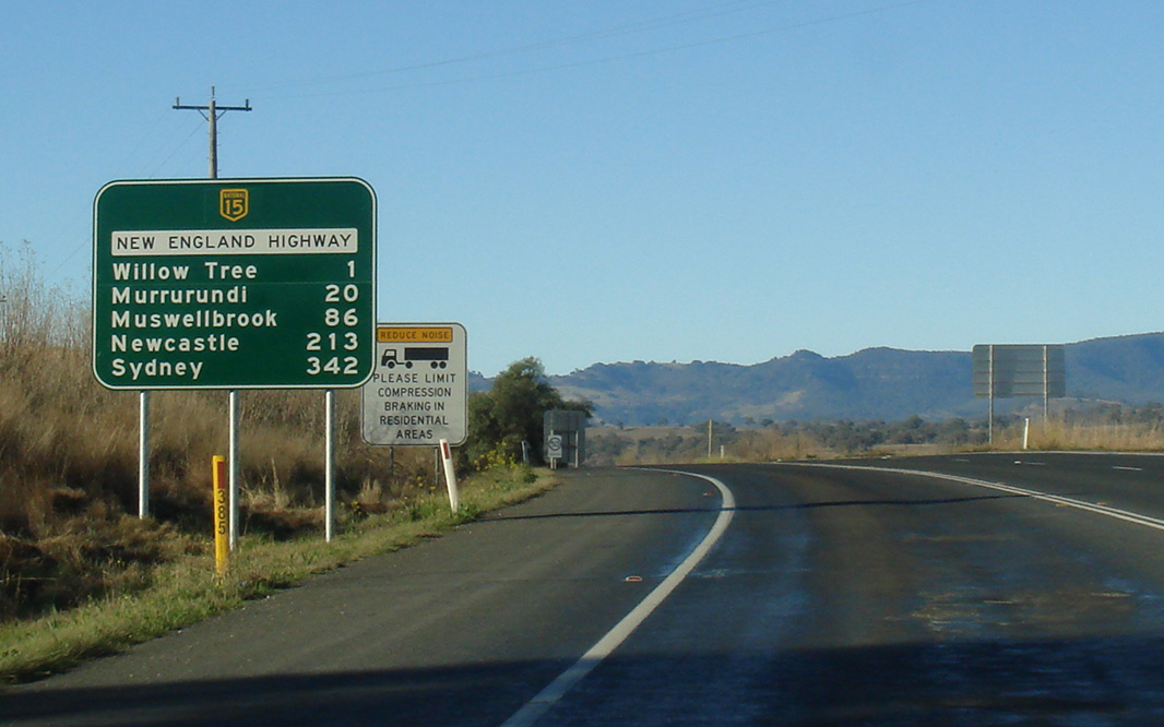
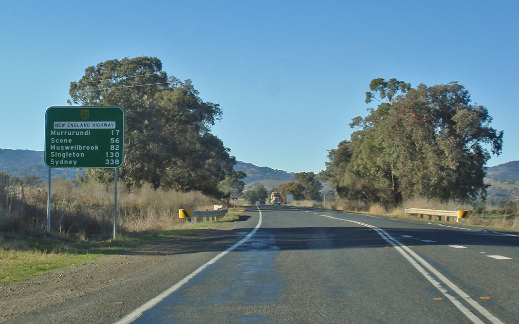
Distance Sign: Reassurance directional sign as you head northbound out of the Willow Tree area, December 2004. Image © Paul Rands |
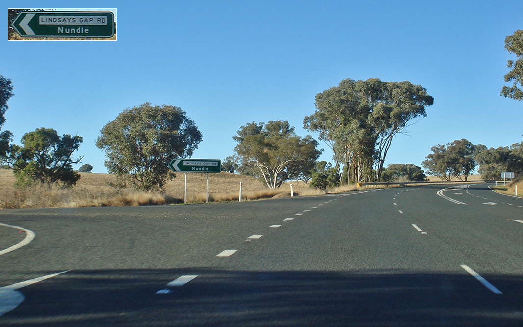 |
Lindsays Gap Road: Corner of New England Hwy (NH15) and Lindsays Gap Rd, August 2011. Image © Paul Rands |
|
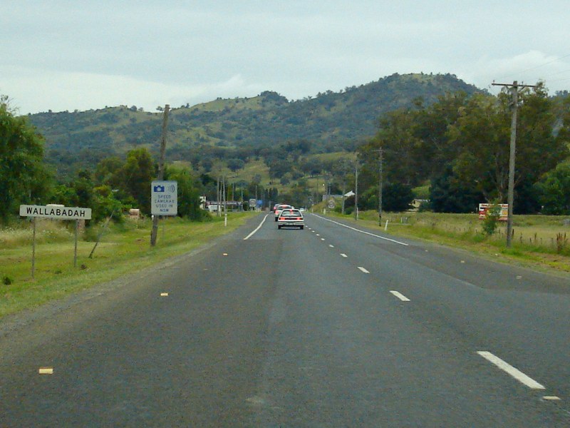 |
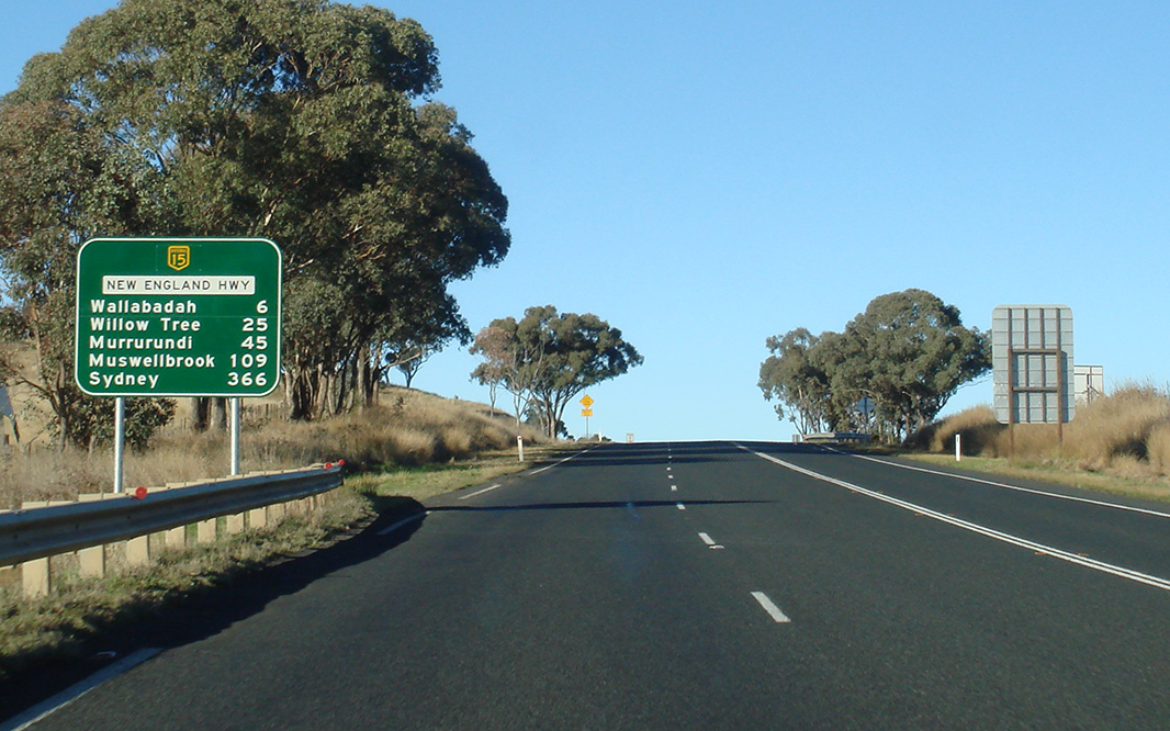
Entering Wallabadah: New England Hwy (NH15) as it enters the town of Wallabadah, December 2008. Image © Paul Rands |
 |
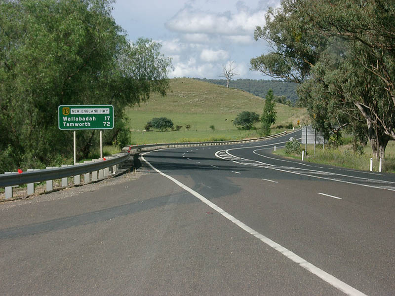
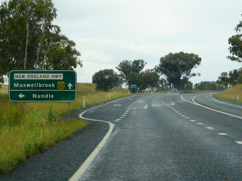
Distance Sign: RD sign after the Fossickers Way (Nundle Road) intersection near Wallabadah. August 2011. Click here for a photo of this location by Paul Rands from December 2004. Image © Paul Rands |
|
 |
Wallabdah Town Centre: New England Hwy (NH15) as it passes through the town of Wallabadah, December 2008. Image © Paul Rands |
 |
Wallabadah Creek Road: Corner of New England Hwy (NH15) and Wallabadah Ck Rd at Wallabadah, August 2011. Image © Paul Rands |
|
 |
Advance Directional Sign: AD sign approaching Maria St in Wallabadah, December 2008. Image © Paul Rands |
 |
Entering Wallabadah: Entering the town of Wallabadah. December 2004. Image © Paul Rands |
|
 |
Maria Street: Corner of New England Hwy (NH15) and Maria St, Wallabadah, December 2008. Image © Paul Rands |
 |
Entering Wallabadah: Entering the town of Wallabadah. December 2008. Image © Paul Rands |
|
 |
Distance Sign: Reassurance directional sign as you leave Wallabadah, December 2008. Image © Paul Rands |
 |
Entering Wallabadah: Entering the town of Wallabadah. December 2004. Image © Paul Rands |
|
 |
Supplemental Advance Directional Sign: Supplemental AD sign for Fossickers Way (Nundle Rd) (TD23), December 2008. Image © Paul Rands |
 |
Advance Directional Sign: Southbound approaching Maria St at Wallabadah. August 2011. Click here for a photo of this location by Paul Rands from December 2008. Image © Paul Rands |
|
 |
Distance Sign: RD sign after the Fossickers Way (TD25) intersection near Wallabadah, December 2008. Image © Paul Rands |
 |
Maria Street: Corner of New England Hwy (NH15) and Maria St, Wallabadah, August 2011. Click here for a photo of this location by Paul Rands from December 2008. Image © Paul Rands |
|
 |
Distance Sign: Reassurance directional sign as you leave Wallabadah, August 2011. Click here for a photo of this location by Paul Rands from December 2008. Image © Paul Rands |
|||
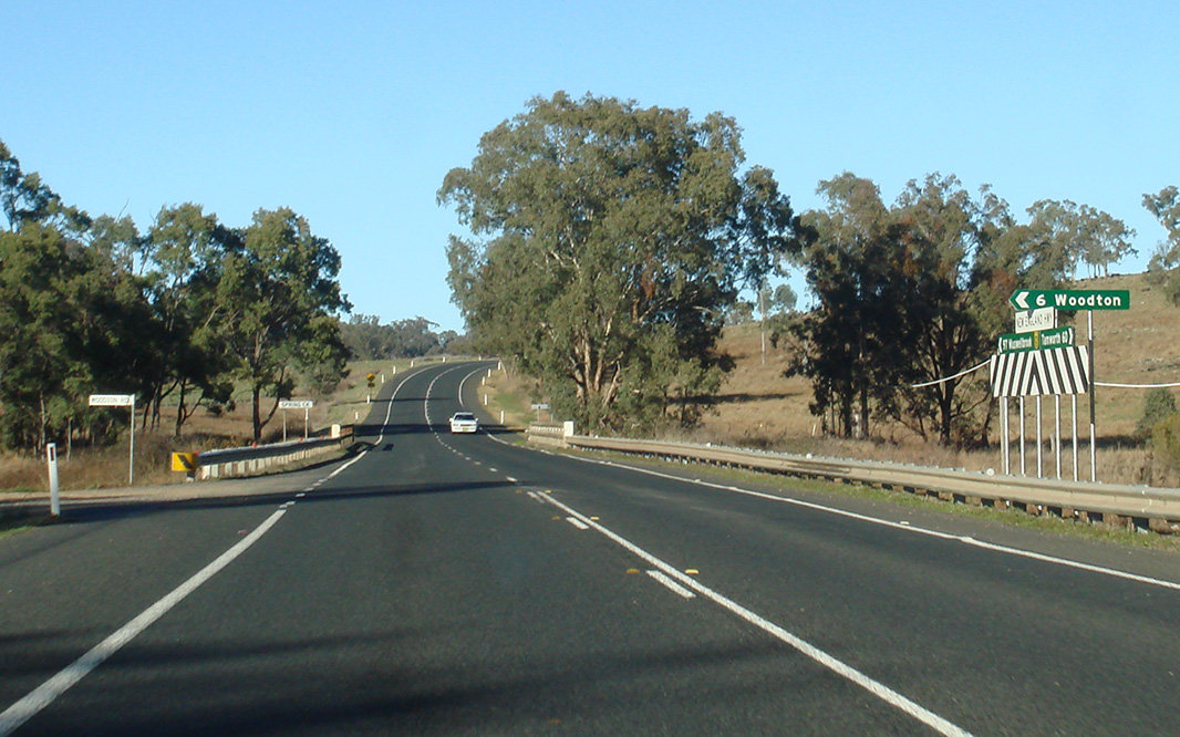 |
Woodton Road: Corner of New England Hwy (NH15) and Woodton Rd at Wallabadah, August 2011. Image © Paul Rands |
|||
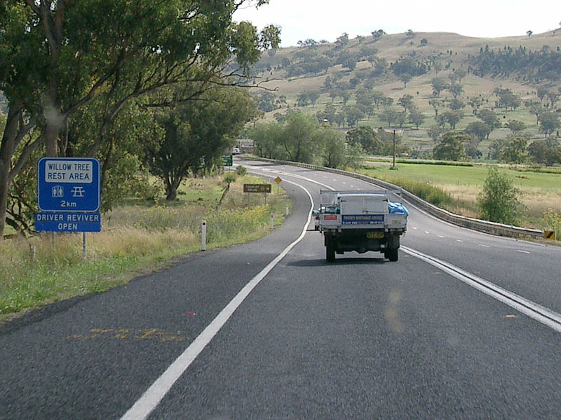 |
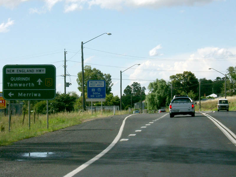
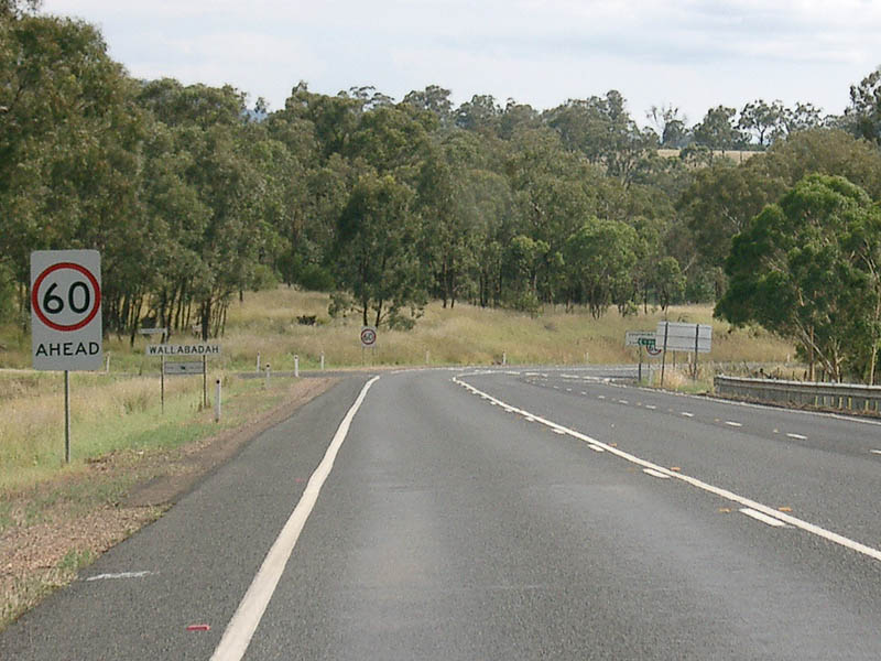
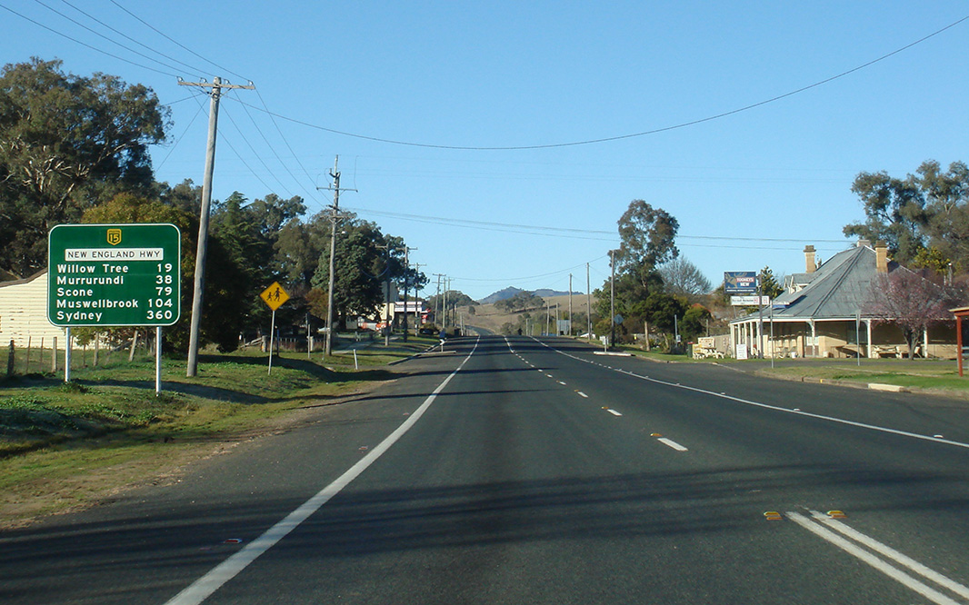
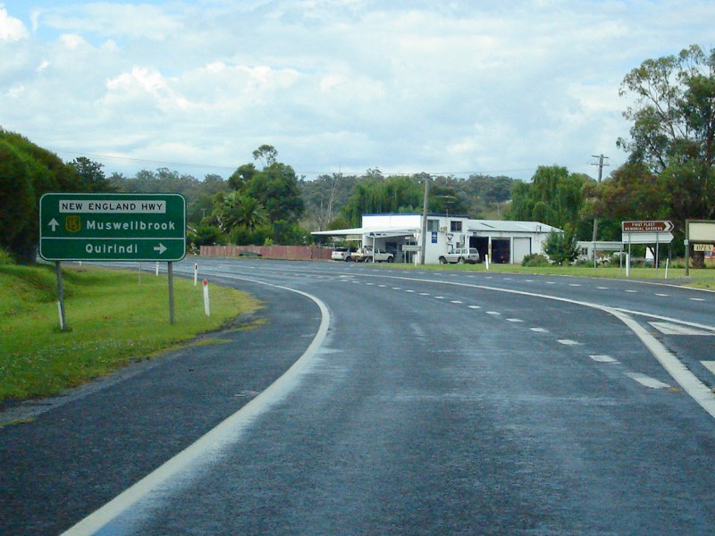
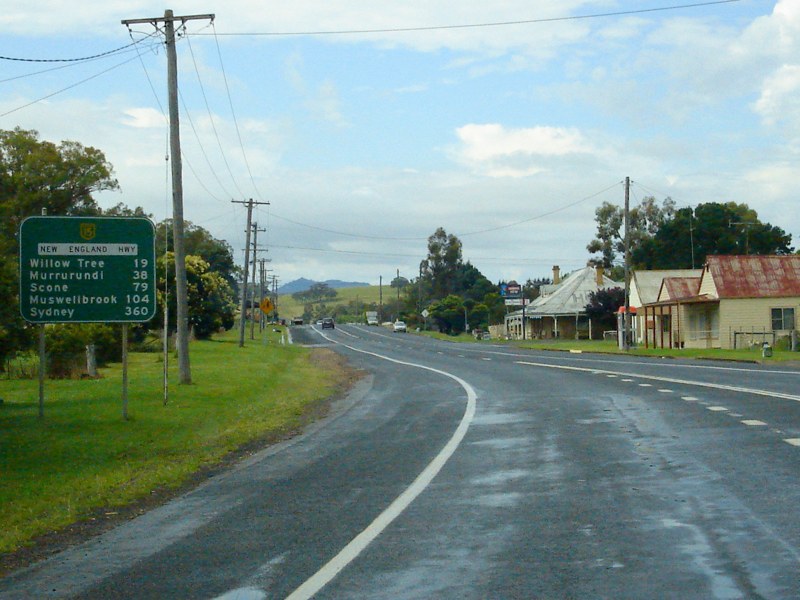
Services Sign: Rest area sign as you enter the Willow Tree area, as you approach the Kamilaroi Hwy (NR37) junction, December 2004. Image © Paul Rands |
|||
 |
Approaching Kamilaroi Hwy: Southbound as you approach NR37 / TD25 at Willow Tree, August 2011. Click here for a photo of this location by Paul Rands from December 2008. Image © Paul Rands |
|||
 |
Approaching Kamilaroi Hwy: Advance directional sign approaching National Route 37 / Tourist Drive 25 at Willow Tree, August 2011. Click here for a photo of this location by Paul Rands from December 2008. Image © Paul Rands |
|||
 |
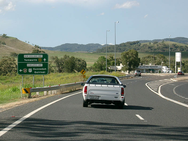
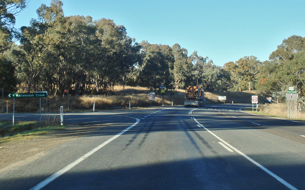
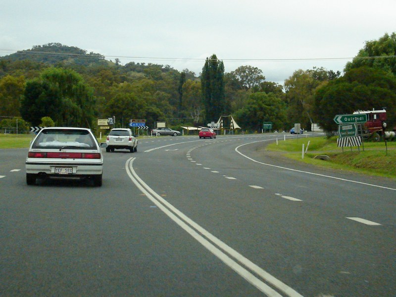
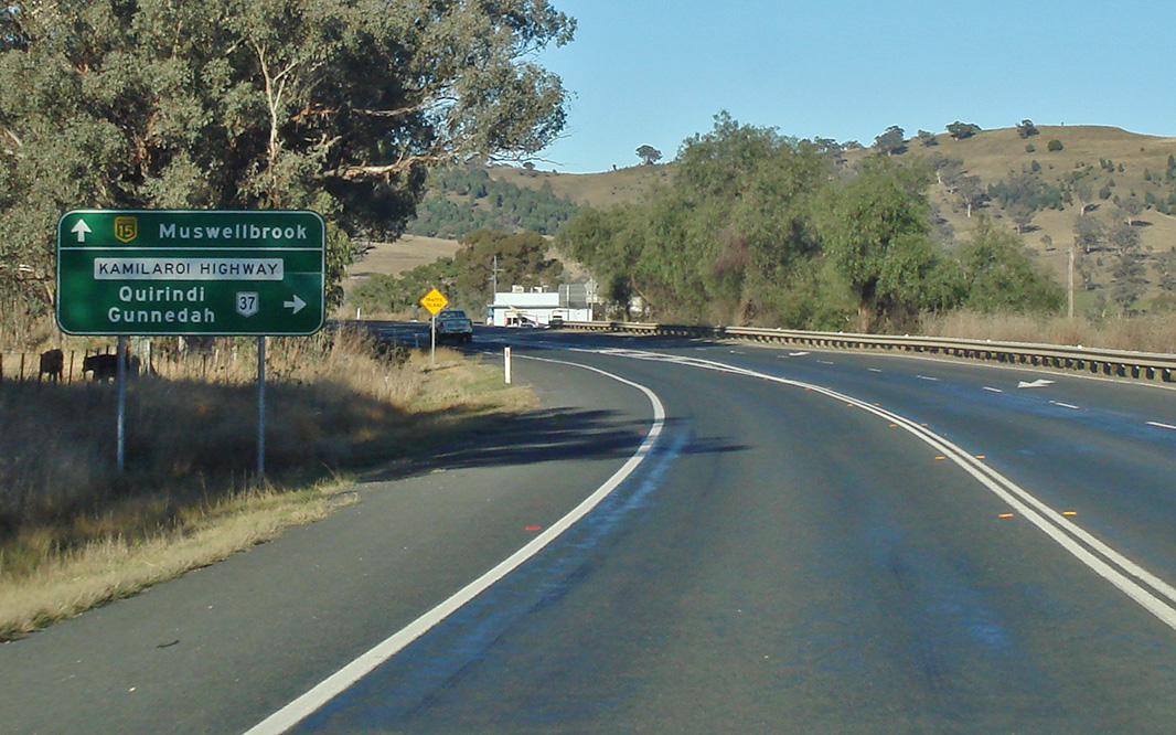
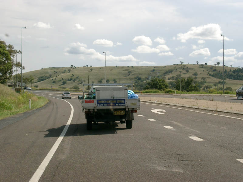
Kamilaroi Highway Intersection: Southbound at Willow Tree as you pass through the junction with Kamilaroi Hwy (NR37). August 2011. Click here for a photo of this location by Paul Rands from December 2004. Image © Paul Rands |
|||
 |
Distance Sign: Southbound RD signage after the Kamilaroi Hwy intersection in Willow Tree, August 2011. Click here for a photo of this location by Paul Rands from December 2004. Image © Paul Rands |
|||
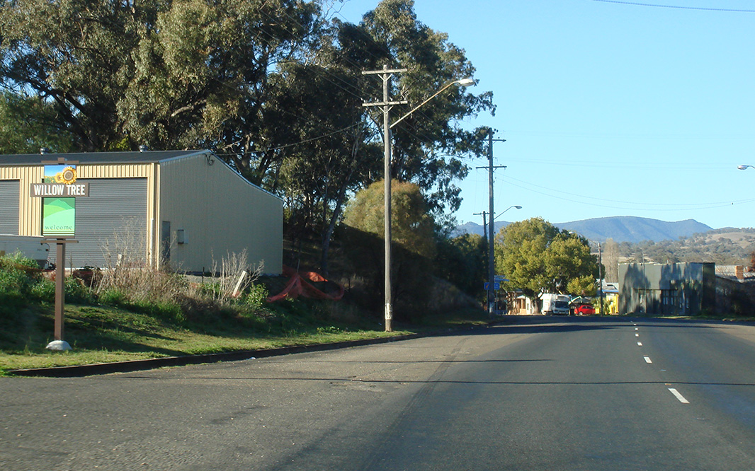 |
Entering Willow Tree: New England Hwy (NH15) as it enters the town of Willow Tree, August 2011. Image © Paul Rands |
|||
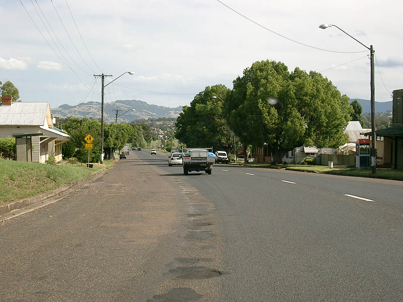 |
Willow Tree Town Centre: Passing through the town of Willow Tree, December 2004. Image © Paul Rands |
|||
 |
Advance Directional Sign: Southbound approaching the junction with Ogden Street in Willow Tree, December 2004. Image © Paul Rands |
|||
 |
Ogden Street: Corner of New England Hwy (NH15) and Ogden St at Willow Tree, August 2011. Image © Paul Rands |
|||
 |
Distance Sign: Southbound RD sign with alphanumeric shield as you leave the town of Willow Tree. August 2011. Click here for a photo of this location by Michael Gill from September 2008. Click here for a photo of this location by Paul Rands from December 2004. Image © Paul Rands |
|||
 |
Advance Directional Sign: Southbound AD sign for the Kankool Heavy Vehicle Checking Station, December 2008. Image © Paul Rands |
|||
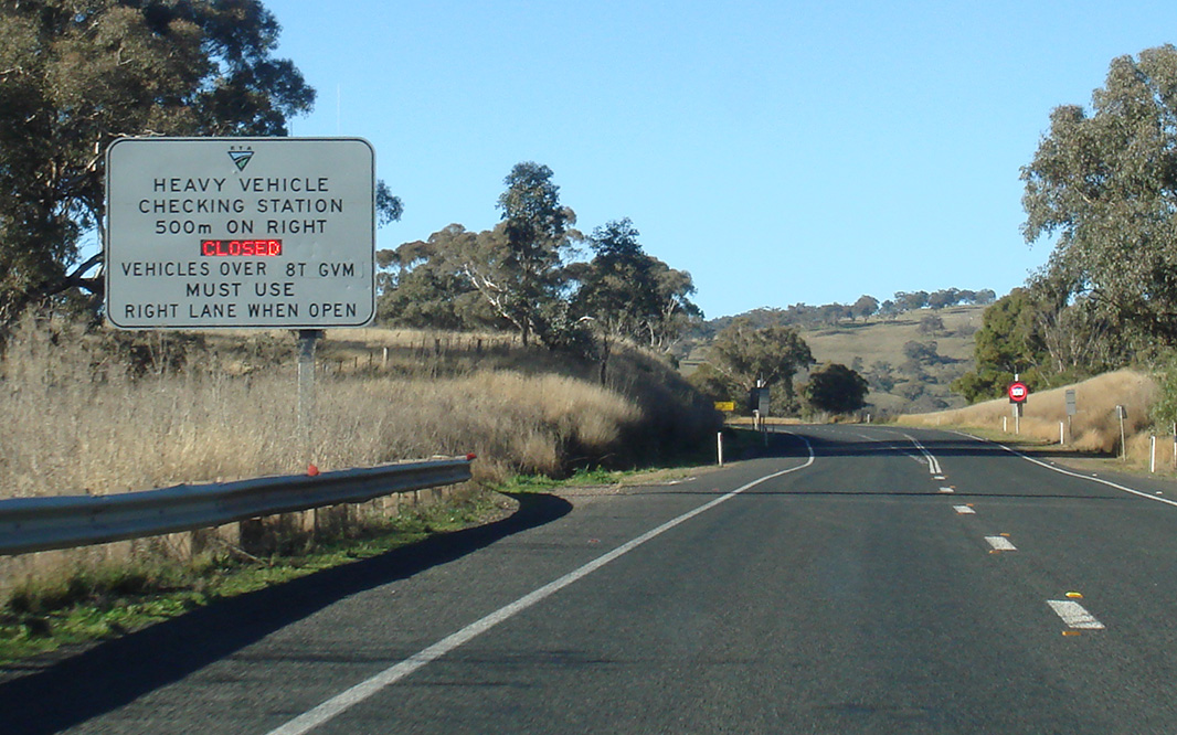 |
Advance Directional Sign: Southbound AD sign for the Kankool Heavy Vehicle Checking Station, August 2011. Image © Paul Rands |
|||
 |
Advance Directional Sign: Southbound AD sign for the Kankool Heavy Vehicle Checking Station, August 2011. Image © Paul Rands |
|||
 |
Kankool Heavy Vehicle Checking Station: View of the Kankool Heavy Vehicle Checking Station, which opened in 1973. December 2008. Image © Paul Rands |
|||
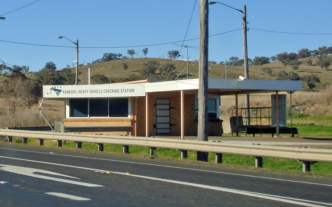 |
Kankool Heavy Vehicle Checking Station: View of the Kankool Heavy Vehicle Checking Station at Kankool, August 2011. Image © Paul Rands |
|||
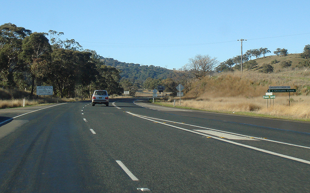 |
Chilcotts Creek Road: Corner of New England Hwy (NH15) and Chilcotts Ck Rd at Kankool, August 2011. Image © Paul Rands |
|||
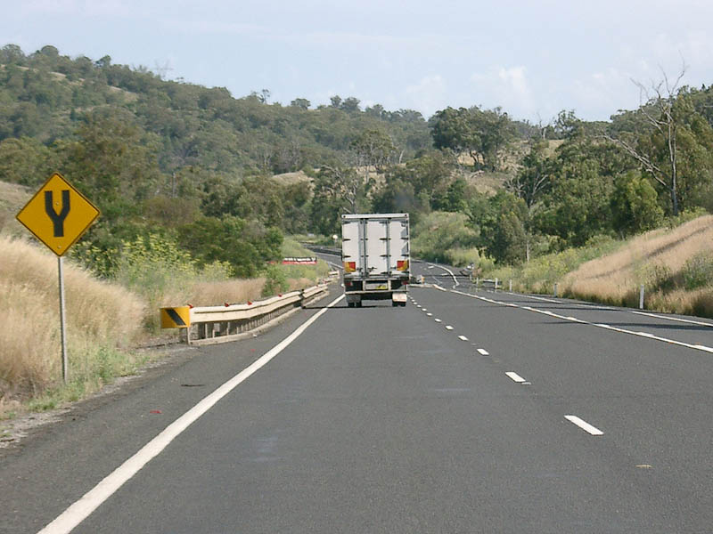 |
Start Divided Road: Commencement of divided route over the Murrurundi Range at Kankool. December 2004. Image © Paul Rands |
|||
 |
Approaching Murrurundi Range: The New England Hwy as you begin the drive over the Murrurundi Range at Kankool. December 2004. Image © Paul Rands |
|||
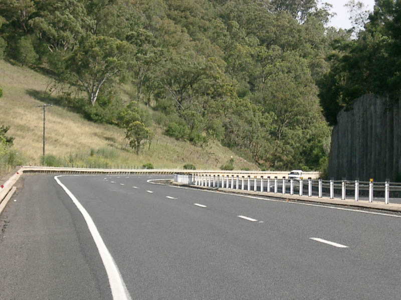 |
Murrurundi Range: New England Hwy as it crosses the Murrurundi Range at Ardglen. December 2004. Image © Paul Rands |
|||
 |
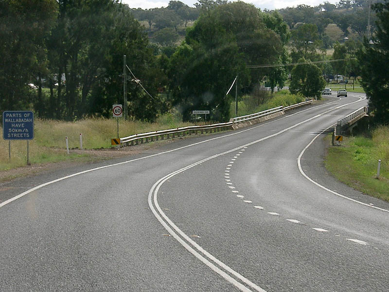
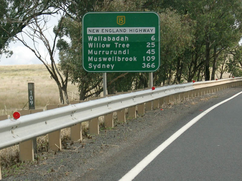
Tourist Distance Sign: Tourist orientated RD sign as you cross the Murrurundi Range at Ardglen. August 2011. Click here for a photo of this location by Paul Rands from December 2008. Click here for a photo of this location by Paul Rands from December 2004. Image © Paul Rands |
|||
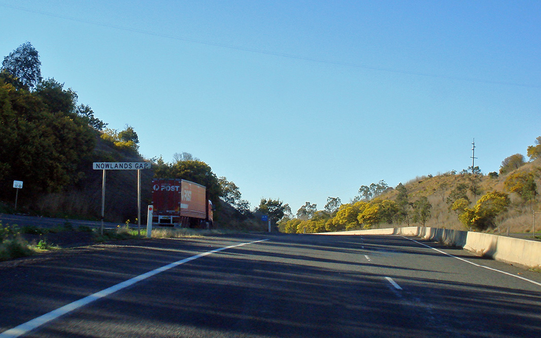 |
Nowlands Gap: New England Hwy (NH15) on the Murrurundi Range at Ardglen as it crosses Nowlands Gap, August 2011. Image © Paul Rands |
|||
| Click here for the continuation of National Highway 15 between Tamworth and Bendemeer Click here for the continuation of National Highway between Murrurundi and Scone |
||||
1 National Library of Australia
2 Roads and Traffic Authority
3 Department of Infrastructure, Transport, Regional Development and Local Government
Last updated: 14-Sep-2020 19:12
This site © Paul Rands. All rights reserved. Some portions © (copyright) by their respective and credited owners. Permission must be obtained before using any images from this site. For details, please email by clicking here.