|
|
|
|
|
 |
New England Highway (National Highway 15) - Maitland To Singleton (Decommissioned) |
Statistics:
Route Numbering:

General Information:
National Highway 15 is one the major routes in New South Wales and Queensland. It links the farming regions of NSW to the ports at Newcastle and also to other major roads to Sydney and it's also a link to Brisbane's metropolitan area.
The route consists of single carriageway 2-lane rural highway, through to multi-lane divided sections, and includes two multiplexes: National Route 34, the Oxley Highway, between Tamworth and Bendemeer, and also National Route 38, the Gwydir Highway at Glen Innes.
History:
The New England Highway originally formed part of the Great Northern Road from Sydney via Wiseman's Ferry to the Queensland border (near Mt Lindesay), taking shape as settlement spread northward from the lower Hunter Valley. By 1851 the Great Northern Road had reached the Gap, two miles beyond Murrurundi. In 1858 it was classified as one of three Main Roads in the colony (Great Western and Great Southern) and extended from Morpeth via Maitland, Singleton, Muswellbrook, Scone, Murrurundi and Tamworth, to Armidale, a distance of about 236 miles. Captain Martindale, Chief Railway Commissioner, who was also responsible for roads, stressed the need for bridges as in many cases long circuits had to be made to find a crossing over a stream. In 1860 arrangements were in progress for building 90 culverts and minor bridges and for forming new sections of road, including a new ascent to Murrurundi Gap, which was previously steep with sharp dangerous turns. In 1865 the section of road between Muswellbrook and Murrurundi was metalled and a deviation suggested between Blandford and Murrurundi to skirt the Page River, obviating two bridges, however, such a deviation was never constructed. With the construction of the Northern Railway line from Newcastle, commenced in the 1850s and reaching Murrurundi in 1872, attention was diverted away from roads and sections of the Great Northern Road were in poor condition. Despite the impact of the railway, roads developed steadily and considerable progress was made in the bridging of rivers and creeks. 2
| Mailtand to Singleton | Singleton to Maitland | |||
| Preview: | Description: | Preview: | Description: | |
 |
Private PZ Trzecinski Bridge: Crossing the main north railway line at Telarah, December 2008. Image © Paul Rands |
 |
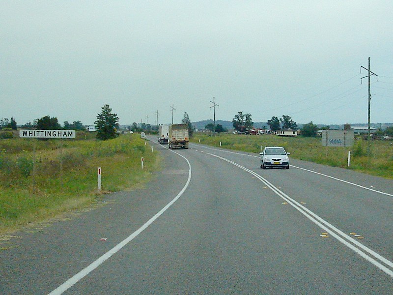
Entering Whittingham: Entering the small town of Whittingham, August 2011. Image © Paul Rands |
|
 |
Approaching Bungaree & High Streets: Northbound at Telarah approaching the intersection with Bungaree and High Streets. Note the old 'H' symbol on the hospital sign, the 'H' symbol has been out of use for several years, December 2008. Image © Paul Rands |
 |
Range Road: Corner of New England Hwy (NH15) and Range Rd at Whittingham, August 2011. Image © Paul Rands |
|
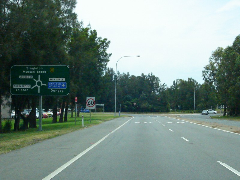 |
Advance Directional Sign: Northbound AD sign approaching Bungaree and High Streets in Telarah, December 2008. Click here for a photo of the old sign from July 2007. Image © Paul Rands |
 |
Advance Directional Sign: AD sign for the Golden Highway intersection, Whittingham. August 2011. Image © Paul Rands |
|
 |
Intersection Directional Sign: ID sign on the northbound exit of the Bungaree and High Street roundabout in Telarah, July 2007. Image © Paul Rands |
 |
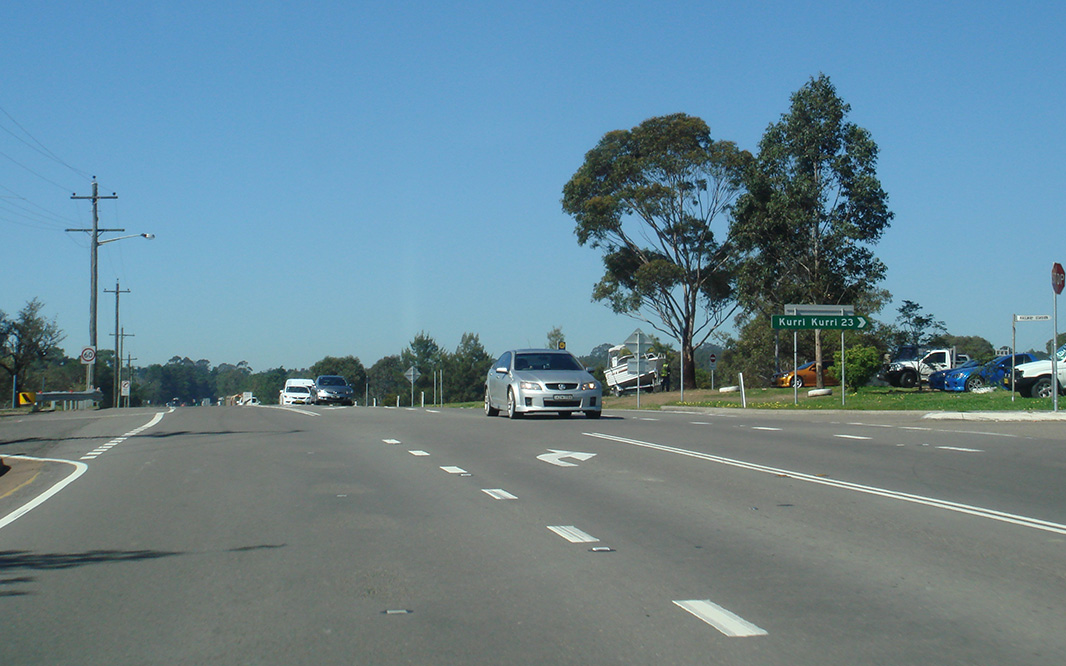
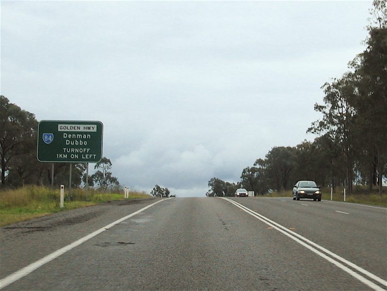
Golden Hwy Intersection: Travelling southeast along New England Hwy as it passes the eastern terminus of the Golden Hwy (SR84) at Whittingham. September 2005. Image © Paul Rands |
|
 |
Distance Sign: RD sign, looking northwest, as you leave the Telarah area, July 2007. Image © Paul Rands |
 |
Intersection Directional Sign: ID sign assembly on the corner of Golden Hwy (SR84) and New England Hwy (NH15) at Whittingham, note the alphanumeric route number for New England Hwy. August 2011. Image © Paul Rands |
|
 |
Flashing Ambulance Warning Sign: Custom flashing ambulance warning sign as you head northwest through Rutherford. July 2007. Image © Paul Rands |
 |
Divided Road: Westbound at the dual carriageways between Branxton and Belford which opened to traffic during the 1990s, August 2011. Image © Paul Rands |
|
 |
Wollombi Road Intersection: Travelling northwest through the Wollombi Road intersection at Rutherford, note the missing NH15 shield, December 2008. Image © Paul Rands |
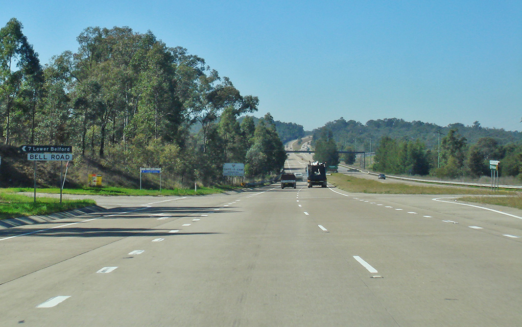 |
Bell Road: New England Hwy (NH15) at Belford at the junction with Bell Rd, August 2011. Image © Paul Rands |
|
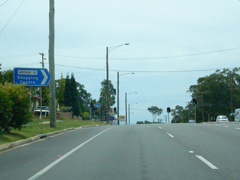 |
Arthur Street: Intersection directional sign at the Arthur St junction in Rutherford, December 2008. Image © Paul Rands |
|
Divided Road For 5km: Sign at Belford indicating length of divided road, August 2011. Image © Paul Rands |
|
 |
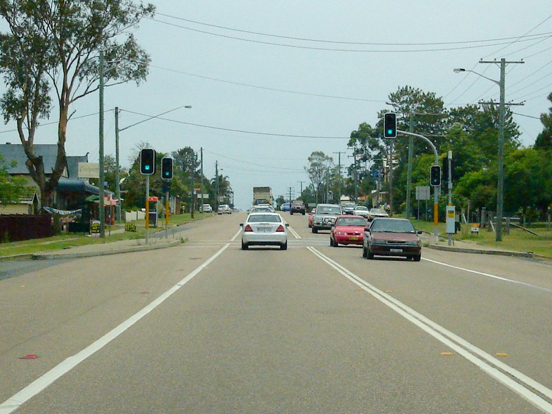
Rutherford: Looking northwest through Rutherford near the Montgomery and Alexandra Avenue intersections, outside Rutherford Shopping Centre, July 2007. Image © Paul Rands |
 |
Advance Directional Sign: AD sign approaching Hermitage Rd at Belford, August 2011. Image © Paul Rands |
|
 |
Advance Directional Sign: AD sign approaching Denton Park Drive and Racecourse Road in Rutherford, December 2008. Image © Paul Rands |
 |
ID Sign: Intersection directional sign for Pothana Lane at Belford, August 2011. Image © Paul Rands |
|
 |
Shipley Drive & Anambah Road: New England Hwy (NH15) at Rutherford at the junction with Shipley Dr & Anambah Rd, December 2008. Image © Paul Rands |
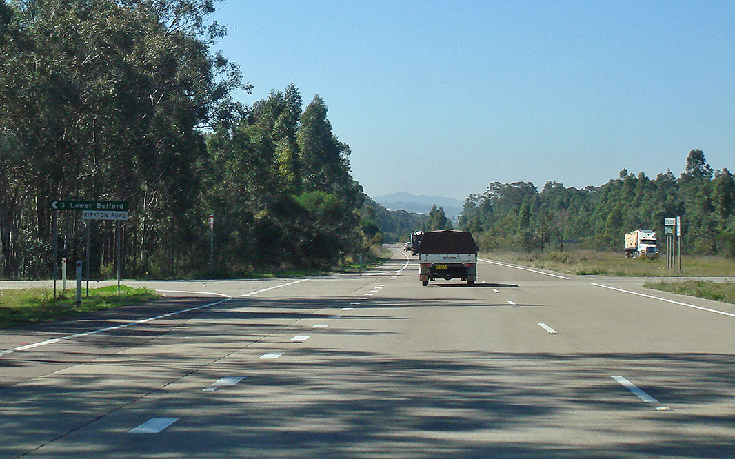 |
Kirkton Road: Corner of New England Hwy (NH15) and Kirkton Rd at Belford, August 2011. Image © Paul Rands |
|
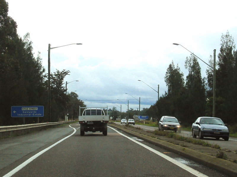 |
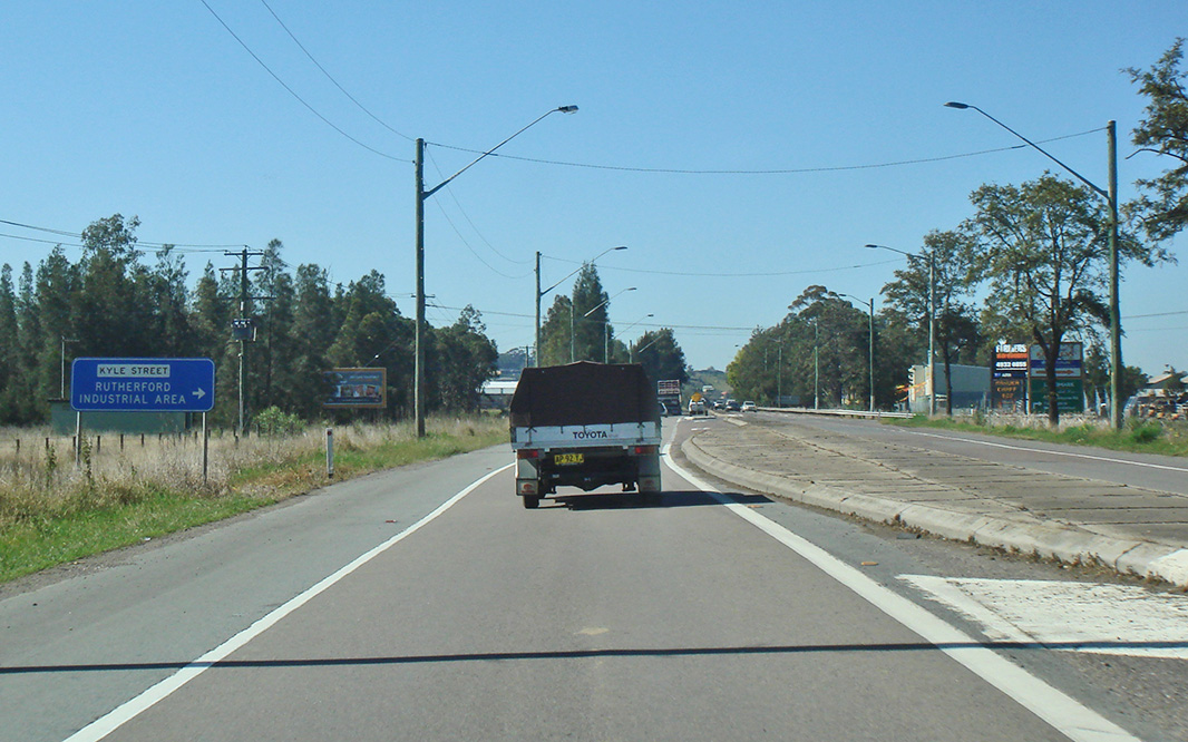
Approaching Kyle Street: Westbound as you approach the Kyle St intersection in Rutherford, July 2007. Image © Paul Rands |
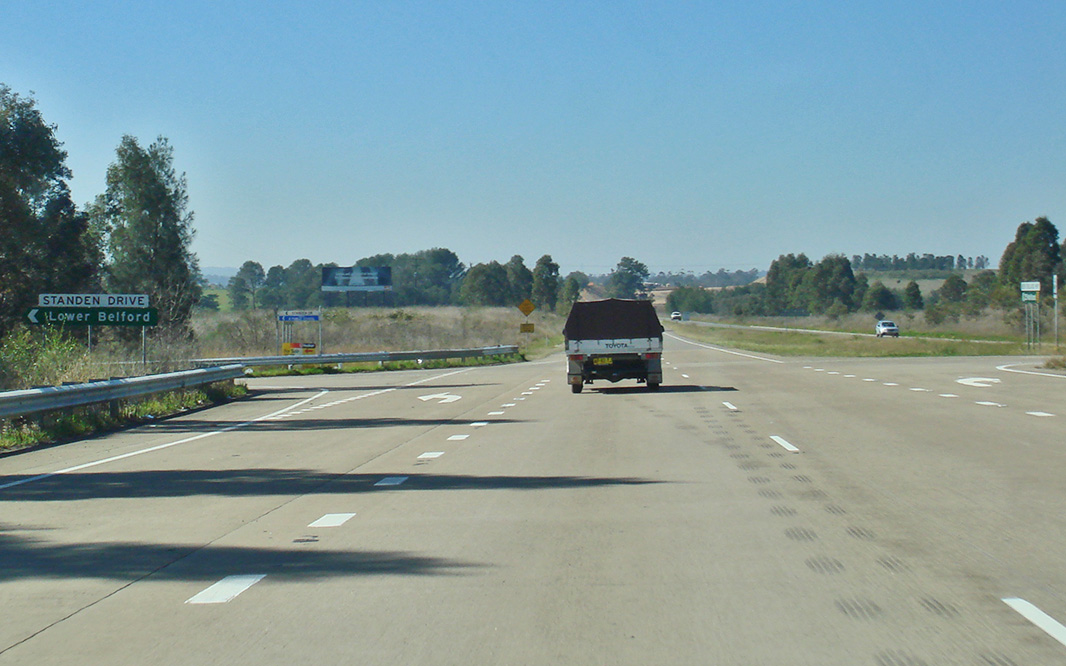 |
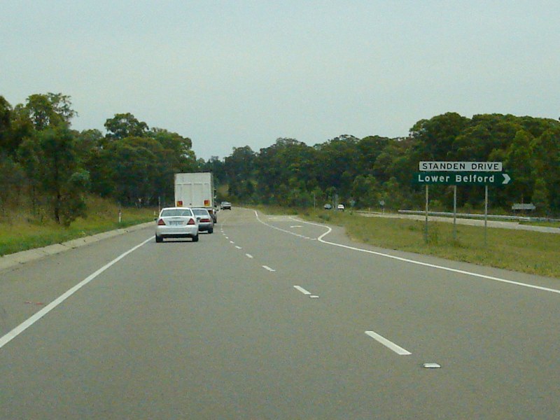
Stranden Drive Intersection: Westbound at Belford at Stranden Dr, August 2011. Image © Paul Rands |
|
 |
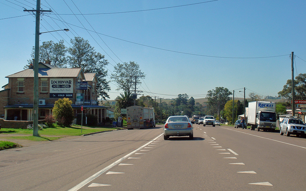
Lochinvar Town Centre: Westbound through the town of Lochinvar, December 2008. Image © Paul Rands |
 |
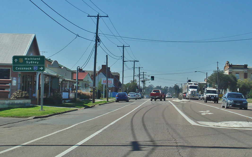
Welcome to the City of Cessnock: Sign on the New England Hwy (NH15) at Branxton welcoming motorists to the City of Cessnock local government area, December 2008. Image © Paul Rands |
|
 |
Intersection Directional Sign: ID sign on the corner of Windermere Road and New England Highway at Lochinvar, December 2008. Click here for a photo from July 2007 of the old black sign. Image © Paul Rands |
 |
Supplemental Advance Directional Sign: Supplemental AD sign approaching Clift St (SR82 / TD33) at Branxton, August 2011. Image © Paul Rands |
|
 |
Approaching Harpers Hill: New England Hwy at Allandale as it makes its way towards Harpers Hill. July 2007. Image © Paul Rands |
 |
Supplemental Advance Directional Sign: Supplemental AD sign at Branxton approaching Clift St / Wine Country Dr. Wine Country Drive and other roads can be used as a shortcut to the Sydney-Newcastle Freeway, however the RTA attempt to direct through traffic via Maitland and Beresfield. September 2005. Image © Paul Rands |
|
 |
Services Sign: Services sign for the town of Greta, looking northwest at Harpers Hill, December 2008. Image © Paul Rands |
 |
Advance Directional Sign: Westbound AD sign on the New England Hwy (Maitland St) in Branxton as you approach Wine Country Dr (Clift St), August 2011. Image © Paul Rands |
|
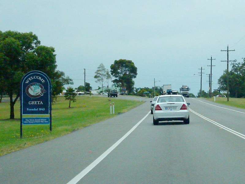 |
Entering Greta: New England Hwy (NH15) as it enters the town of Greta, December 2008. Image © Paul Rands |
 |
Clift Street: Intersection directional sign on the corner of New England Hwy (NH15) and Clift St (SR82 / TD33) at Branxton, August 2011. Image © Paul Rands |
|
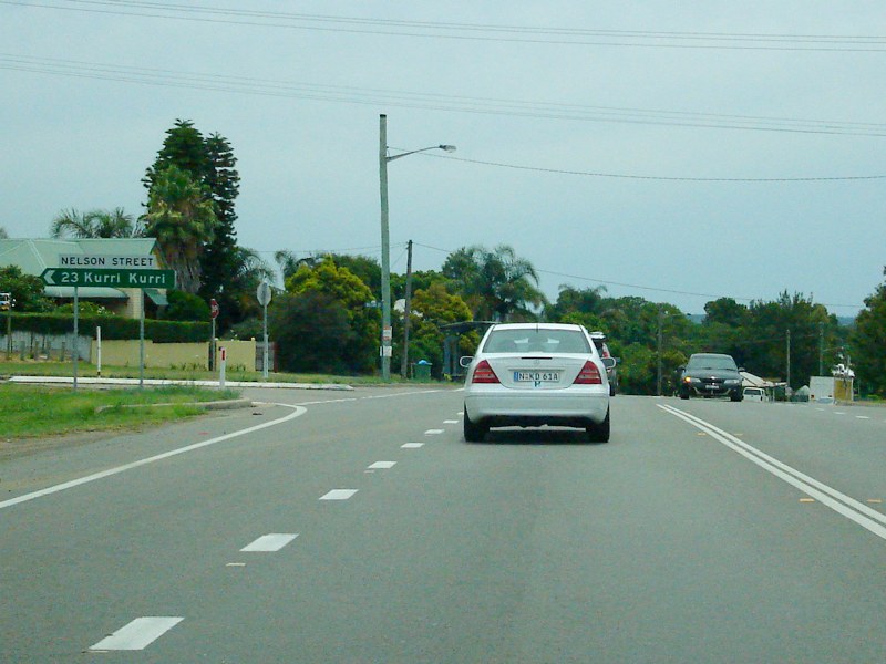 |
Nelson Street: New England Hwy (NH15) at Greta at the junction with Nelson St, December 2008. Image © Paul Rands |
 |
Reassurance Directional Sign: Distance sign at Branxton, August 2011. Image © Paul Rands |
|
 |
Greta Town Centre: New England Hwy (NH15) as it passes through the town of Greta, December 2008. Image © Paul Rands |
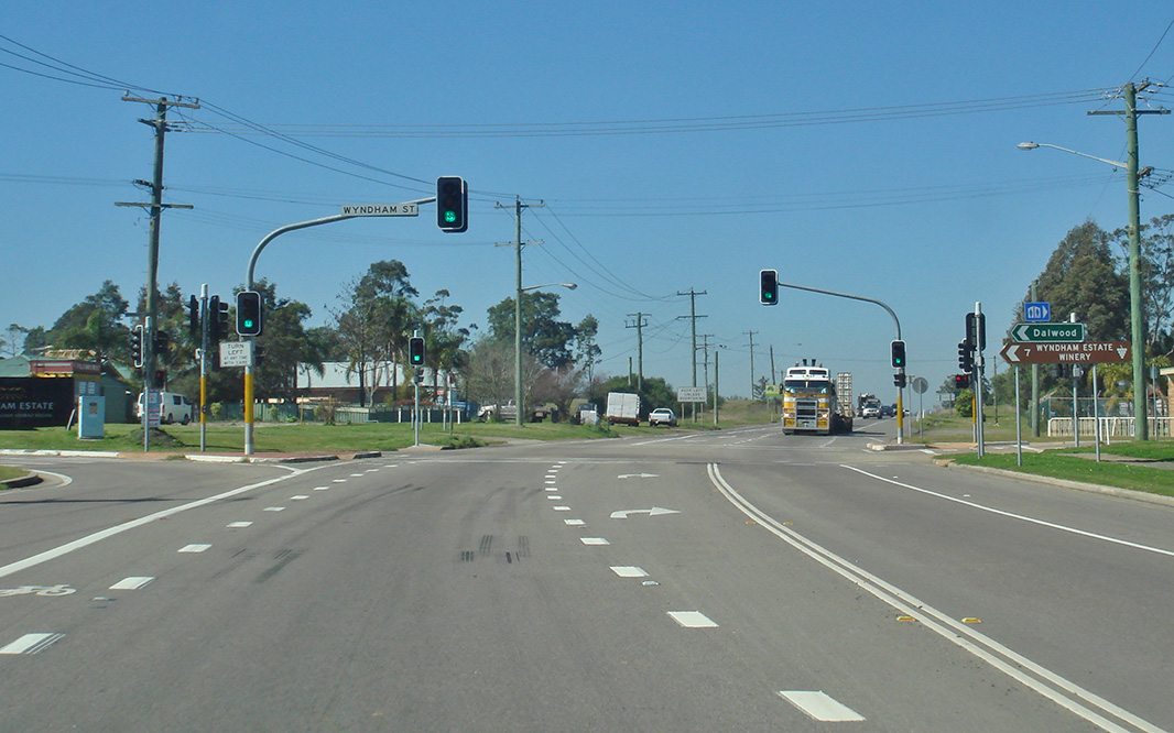 |
Wyndham Street: Corner of New England Hwy (NH15) and Wyndham St, Branxton, August 2011. Image © Paul Rands |
|
 |
Advance Directional Sign: AD sign at Greta approaching West St, December 2008. Image © Paul Rands |
 |
Services Sign: Combined services and distance sign at Greta, August 2011. Image © Paul Rands |
|
 |
Intersection Directional Sign: ID sign at Greta at the junction with West St, December 2008. Image © Paul Rands |
 |
Greta: New England Hwy (NH15) as it passes through the town of Greta, August 2011. Image © Paul Rands |
|
 |
Elderslie Road: New England Hwy (NH15) at the junction with Elderslie Rd at East Branxton, December 2008. Image © Paul Rands |
 |
Nelson Street: Corner of New England Hwy (NH15) and Nelson St, Greta, August 2011. Image © Paul Rands |
|
 |
Supplemental Advance Directional Sign: Supplemental AD sign approaching Clift St (SR82 / TD33) at Branxton, December 2008. Image © Paul Rands |
 |
Harpers Hill: New England Hwy (NH15) as it enters the town of Harpers Hill, August 2011. Image © Paul Rands |
|
 |
Branxton Town Centre: Westbound AD sign on the New England Hwy (Maitland St) in Branxton as you approach Wine Country Dr (Clift St), December 2008. Image © Paul Rands |
 |
Lochinvar: New England Hwy (NH15) as it enters the town of Lochinvar, August 2011. Image © Paul Rands |
|
 |
Distance Sign: Westbound RD sign as you leave Branxton, December 2008. Click here for a photo of the old sign from July 2007. Image © Paul Rands |
 |
Windemere Road: Corner of New England Hwy (NH15) and Windemere Rd at Lochinvar, August 2011. Image © Paul Rands |
|
 |
Divided Road 1km Ahead: Westbound as you approach the dual carriageways between Branxton and Belford which opened to traffic during the 1990s, December 2008. Image © Paul Rands |
 |
Lochinvar: New England Hwy (NH15) passing through the town of Lochinvar, August 2011. Image © Paul Rands |
|
 |
Tourism Sign: Old faded tourism sign at Branxton welcoming visitors to the Shire of Singleton, December 2008. Image © Paul Rands |
 |
Rutherford: New England Hwy (NH15) as it enters the town of Rutherford, August 2011. Image © Paul Rands |
|
 |
Divided Road: Westbound at the dual carriageways between Branxton and Belford which opened to traffic during the 1990s, December 2008. Image © Paul Rands |
 |
Advance Directional Sign: AD sign at Rutherford approaching Kyle St, August 2011. Image © Paul Rands |
|
 |
Stranden Drive Intersection: Westbound at Belford at Stranden Dr, December 2008. Image © Paul Rands |
 |
Kyle Street: Corner of New England Hwy (NH15) and Kyle St, Rutherford, August 2011. Image © Paul Rands |
|
 |
Supplemental Advance Directional Sign: Westbound sign for Hermitage Dr at Belford, September 2005. Image © Paul Rands |
 |
Denton Park Road & Racecourse Road: ID sign at the roundabout with Denton Pk Rd and Racecourse Rd at Rutherford, August 2011. Image © Paul Rands |
|
 |
Kirkton Road: Corner of New England Hwy (NH15) and Kirkton Rd at Belford, December 2008. Image © Paul Rands |
 |
Denton Park Road & Racecourse Road: ID sign at the roundabout with Denton Pk Rd and Racecourse Rd at Rutherford, August 2011. Image © Paul Rands |
|
 |
Stranden Drive Intersection: Westbound at Belford at Stranden Dr, December 2008. Image © Paul Rands |
 |
Denton Park Road & Racecourse Road: ID sign at the roundabout with Denton Pk Rd and Racecourse Rd at Rutherford, August 2011. Image © Paul Rands |
|
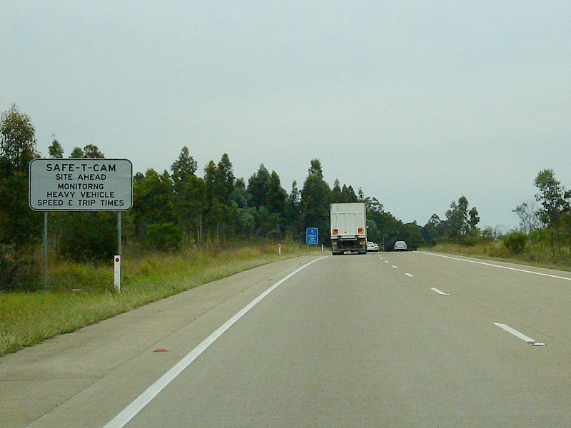 |
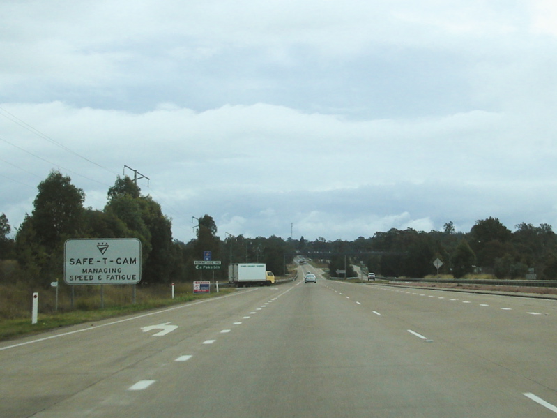
Safe-T-Cam Sign: Sign indicating the Safe-T-Cam installed near Jump Up Creek at Belford, December 2008. Image © Paul Rands |
 |
Caption Title: Corner of New England Hwy (NH15) and Alexandra Av, Rutherford, August 2011. Image © Paul Rands |
|
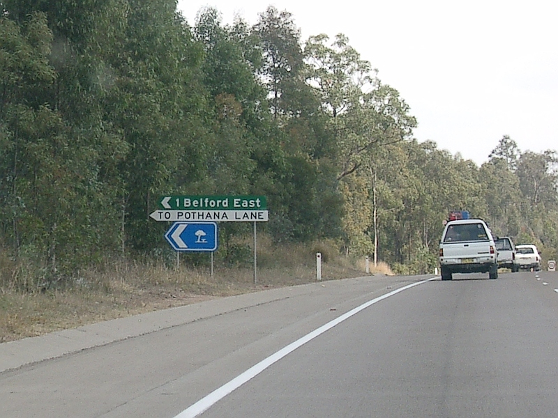 |
ID Sign: Intersection directional sign for Pothana Lane at Belford, September 2005. Image © Paul Rands |
|||
 |
Services Sign: Services sign indicating distance to next rest area, Belford, December 2008. Image © Paul Rands |
|||
 |
Hermitage Road Junction: Westbound at Hermitage Road in Belford as you approach the Safe-T-Cam and Jump Up Ck, July 2007. Image © Paul Rands |
|||
 |
Safe-T-Cam / Jump Up Creek: Westbound through the Safe-T-Cam site at Belford, July 2007. Image © Paul Rands |
|||
 |
Approaching Bell Road: Westbound approaching Bell Road at Belford. July 2007. Image © Paul Rands |
|||
 |
Services Sign: Services sign indicating distance to next rest area, Belford, December 2008. Image © Paul Rands |
|||
 |
Services Sign: Services sign indicating distance to next rest area, Belford, December 2008. Image © Paul Rands |
|||
 |
Supplemental Advance Directional Sign: Image © Paul Rands |
|||
 |
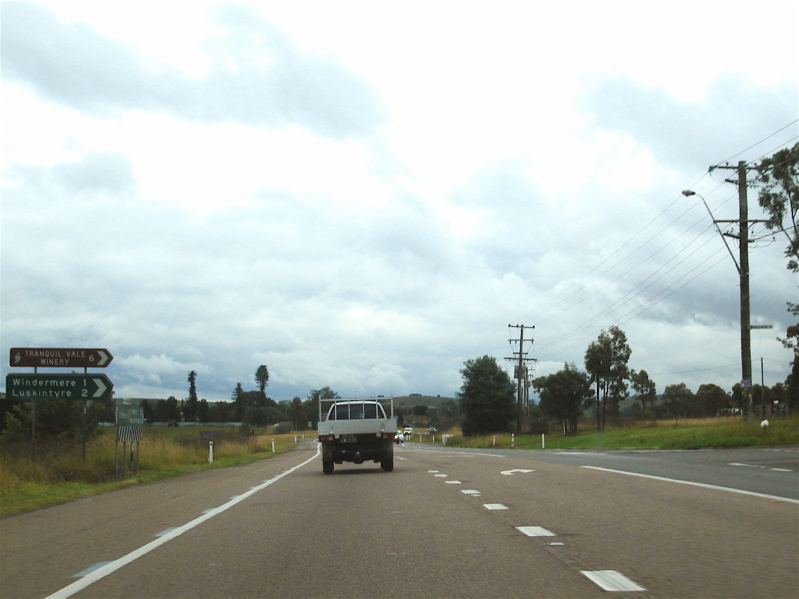
Supplemental Advance Directional Sign: Supplemental AD sign for the Golden Hwy (SR84), as you look northwest at Whittingham, December 2008. Click here for a photo of the old sign from July 2007. Image © Paul Rands |
|||
 |
Services Sign: Services sign indicating distance to next rest area, Whittingham, December 2008. Image © Paul Rands |
|||
 |
Advance Directional Sign: AD sign for the Golden Highway intersection, Whittingham. July 2007. Image © Paul Rands |
|||
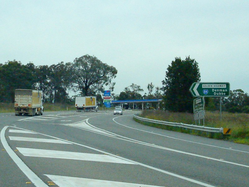 |
Golden Highway: New England Hwy (NH15) at the junction with Golden Hwy (SR84) at Whittingham, December 2008. Image © Paul Rands |
|||
 |
Entering Whittingham: Entering the small town of Whittingham, December 2008. Image © Paul Rands |
|||
 |
Whittingham: New England Hwy (NH15) as it passes through Whittingham, December 2008. Image © Paul Rands |
|||
| Click here for the continuation of National Highway 15 between Singleton and Muswellbrook Click here for the continuation of National Highway 15 between Maitland and Beresfield |
||||
1 National Library of Australia
2 Roads and Traffic Authority
3 Department of Infrastructure, Transport, Regional Development and Local Government
Last updated: 15-Sep-2020 19:32
This site © Paul Rands. All rights reserved. Some portions © (copyright) by their respective and credited owners. Permission must be obtained before using any images from this site. For details, please email by clicking here.