|
|
|
|
|
 |
New England Highway (National Highway 15) - Singleton to Muswellbrook (Decommissioned) |
Statistics:
Route Numbering:

General Information:
National Highway 15 is one the major routes in New South Wales and Queensland. It links the farming regions of NSW to the ports at Newcastle and also to other major roads to Sydney and it's also a link to Brisbane's metropolitan area.
The route consists of single carriageway 2-lane rural highway, through to multi-lane divided sections, and includes two multiplexes: National Route 34, the Oxley Highway, between Tamworth and Bendemeer, and also National Route 38, the Gwydir Highway at Glen Innes.
History:
The New England Highway originally formed part of the Great Northern Road from Sydney via Wiseman's Ferry to the Queensland border (near Mt Lindesay), taking shape as settlement spread northward from the lower Hunter Valley. By 1851 the Great Northern Road had reached the Gap, two miles beyond Murrurundi. In 1858 it was classified as one of three Main Roads in the colony (Great Western and Great Southern) and extended from Morpeth via Maitland, Singleton, Muswellbrook, Scone, Murrurundi and Tamworth, to Armidale, a distance of about 236 miles. Captain Martindale, Chief Railway Commissioner, who was also responsible for roads, stressed the need for bridges as in many cases long circuits had to be made to find a crossing over a stream. In 1860 arrangements were in progress for building 90 culverts and minor bridges and for forming new sections of road, including a new ascent to Murrurundi Gap, which was previously steep with sharp dangerous turns. In 1865 the section of road between Muswellbrook and Murrurundi was metalled and a deviation suggested between Blandford and Murrurundi to skirt the Page River, obviating two bridges, however, such a deviation was never constructed. With the construction of the Northern Railway line from Newcastle, commenced in the 1850s and reaching Murrurundi in 1872, attention was diverted away from roads and sections of the Great Northern Road were in poor condition. Despite the impact of the railway, roads developed steadily and considerable progress was made in the bridging of rivers and creeks. 2
| Singleton to Muswellbrook | Muswellbrook to Singleton | |||
| Preview: | Description: | Preview: | Description: | |
 |
Services Sign: Services sign for the Singleton Rest Area, December 2008. Image © Paul Rands |
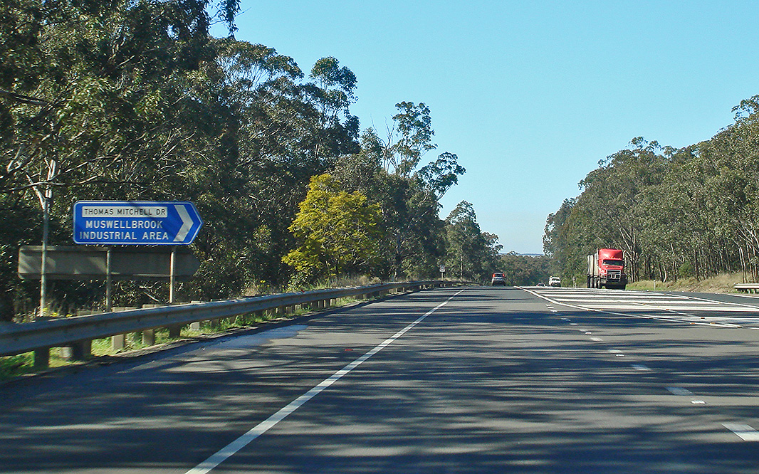 |
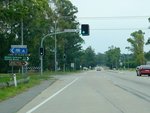
Thomas Mitchell Drive: New England Hwy (NH15) at the junction with Thomas Mitchell Dr at Antiene, August 2011. Image © Paul Rands |
|
 |
Singleton: New England Hwy (NH15) as it passes through Singleton. The main town centre is to the southwest of the highway (left of shot), December 2008. Image © Paul Rands |
 |
Black AD Sign: Black advance directional sign approaching Hebden Road at Antiene, east of Muswellbrook. September 2005. This sign has since been removed and not replaced. Image © Paul Rands |
|
 |
Advance Directional Sign: AD sign approaching Campbell & Cambridge St in Singleton. July 2007. Image © Paul Rands |
 |
Intersection Directional Sign: Northbound ID sign at the Hebden Rd junction at Antiene, August 2011. Image © Paul Rands |
|
 |
Campbell Street Intersection: Looking northwest at the intersection with Cambpell and Cambridge Streets in Singleton. July 2007. Image © Paul Rands |
 |
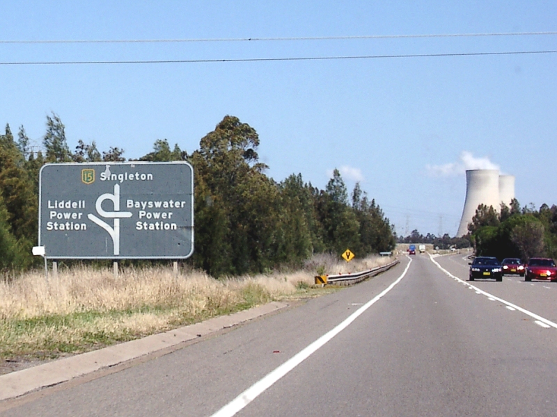
Advance Directional Sign: Diagrammatic advance directional sign approaching the power statiosn in the Antiene / Liddell areas, August 2011. Click here for a photo of the old black sign this sign replaced (taken September 2005). Image © Paul Rands |
|
 |
Hunter River: Singleton Crossing over the Hunter River, opened to traffic during the 1980s, July 2007. Image © Paul Rands |
 |
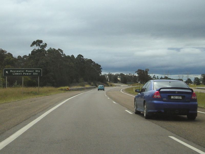
Intersection Directional Sign: ID sign at the off-ramp to Liddell Power station, August 2011. Click here for a photo of the old black sign this sign replaced (taken September 2005). Image © Paul Rands |
|
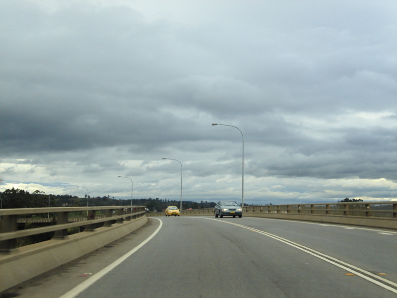 |
Hunter River: Singleton Crossing over the Hunter River, opened to traffic during the 1980s, July 2007. Image © Paul Rands |
 |
Intersection Directional Sign: ID sign at the off-ramp to Bayswater Power station at Liddell, August 2011. Click here for a photo of the old black sign this sign replaced (taken September 2005). Image © Paul Rands |
|
 |
Advance Directional Sign: AD sign assembly approaching Bridgman Rd in Singleton, December 2008. Note the incorrect font on the bottom sign. Image © Paul Rands |
 |
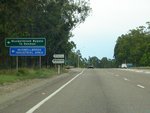
Tourism Sign: Old sign welcoming motorists to the Singleton area at Liddell, September 2005. Image © Paul Rands |
|
 |
Bridgman Road: New England Hwy (NH15) at the junction with Bridgman Rd at Singleton. December 2008. Click here for a photo from July 2007 of the old black sign. For a close up of the old sign assembly (taken May 2004), click here. Image © Paul Rands |
 |
Lemington Road: Corner of New England Hwy (NH15) and Lemington Rd, Ravensworth, August 2011. Image © Paul Rands |
|
 |
RD Sign: Distance sign after the Bridgman Road intersection at Singleton, December 2008. Click here for a photo of the old black sign taken in July 2007. For a close up of the old sign (taken May 2004), click here. Image © Paul Rands |
 |
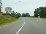
Ravensworth: New England Hwy (NH15) entering the town of Ravensworth, August 2011. Image © Paul Rands |
|
 |
Black ID Sign: Black intersection directional sign on the corner of New England Hwy and White Av, Singleton Heights, December 2008. Image © Paul Rands |
 |
Hebden ROad: Corner of New England Hwy (NH15) and Hebden Rd at Ravensworth, August 2011. Image © Paul Rands |
|
 |
Approaching Maison Dieu Road: Warning sign for Maison Diew Road and railway overbridge in the distance, Singleton, July 2007. Image © Paul Rands |
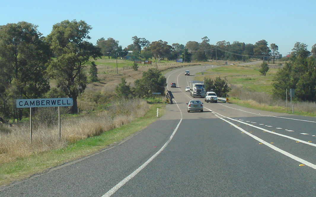 |
Camberwell: New England Hwy (NH15) as it enters the town of Camberwell, August 2011. Image © Paul Rands |
|
 |
Main Northern Railway: Main Northern Railway as it crosses over New England Hwy (NH15) at Singleton, December 2008. Image © Paul Rands |
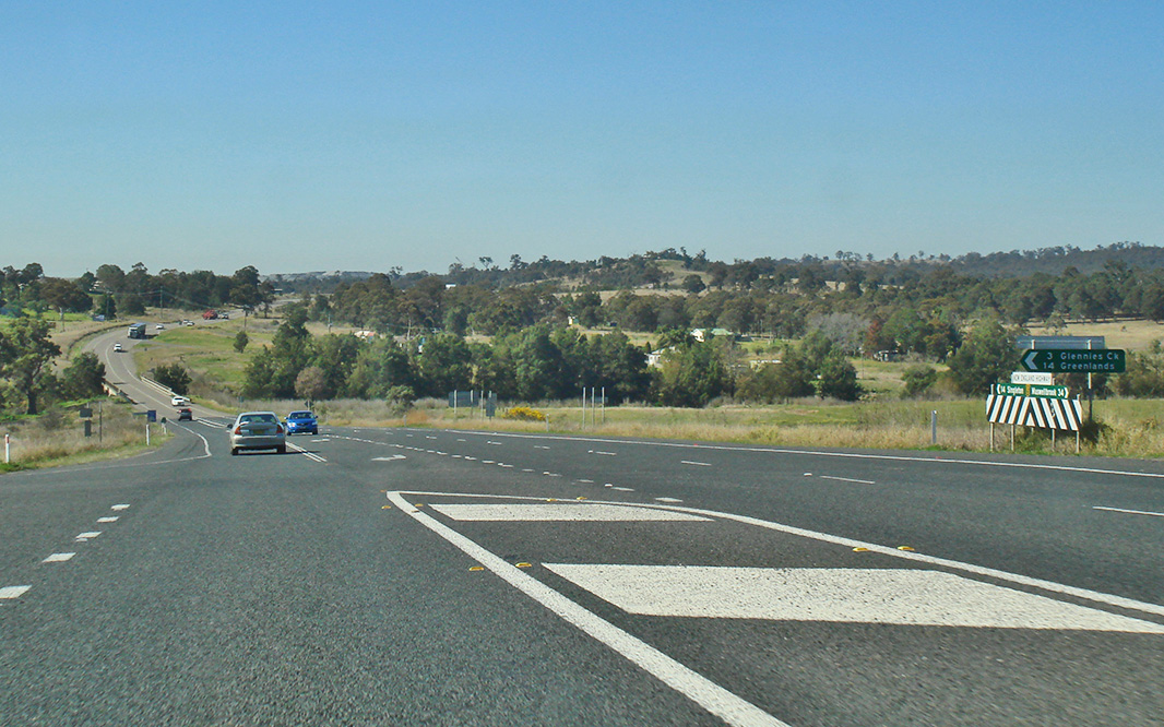 |
Glennies Creek Road: Corner of New England Hwy (NH15) and Glennies Ck Rd at Camberwell, August 2011. Image © Paul Rands |
|
 |
Rix's Creek: Looking northwest as you cross Rix's Creek in the locality of Rix's Creek, July 2007. Note the old bridge on the right of shot. Image © Paul Rands |
 |
Main Northern Railway: Main Northern Railway as it crosses over New England Hwy (NH15) at Singleton, December 2008. Image © Paul Rands |
|
 |
Camberwell: New England Hwy (NH15) as it enters the town of Camberwell, December 2008. Image © Paul Rands |
 |
ID Sign: Intersection directional sign on the corner of New England Hwy and White Av, Singleton Heights, August 2011. Click here for a photo of this location by Paul Rands from December 2008, featuring a black sign. Image © Paul Rands |
|
 |
Glennies Creek Road Intersection: Junction with Glennies Ck Rd in Camberwell. December 2008. Image © Paul Rands |
 |
Advance Directional Sign: ID sign operating as an AD sign approaching Bridgman Rd at Singleton, August 2011. Image © Paul Rands |
|
 |
Entering Ravensworth: Entering the town of Ravensworth, northbound. December 2008. Image © Paul Rands |
 |
Bridgman Road: New England Hwy (NH15) at the junction with Bridgman Rd at Singleton. August 2011. Image © Paul Rands |
|
 |
Hebden Road: New England Hwy (NH15) at Ravensworth at the junction with Hebden Rd, December 2008. Image © Paul Rands |
 |
Services Sign: Services sign for the Singleton Rest Area, December 2008. Image © Paul Rands |
|
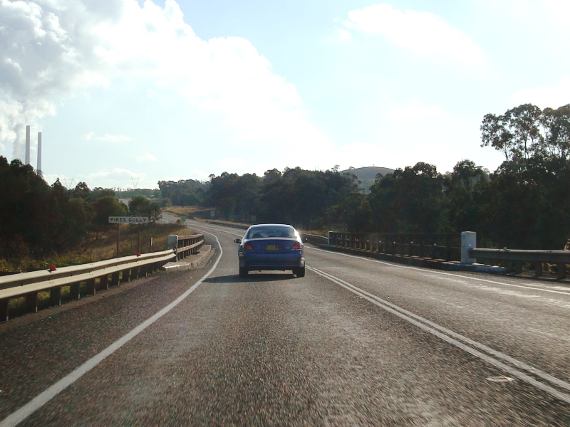 |
Pikes Gully: New England Hwy as it travels northwest over Pikes Gully at Liddell. June 2006. Image © Paul Rands |
 |
Advance Directional Sign: AD sign for the interchange with Queen St at Singleton. Queen St connects with John St (SR69 north), August 2011. Image © Paul Rands |
|
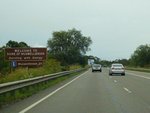 |
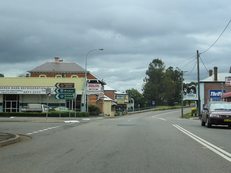
Tourism Sign: Sign welcoming motorists to the Muswellbrook area, December 2008. Image © Paul Rands |
 |
Hunter River: New England Hwy (NH15) as it crosses the Hunter River via Singleton Crossing, December 2008. Image © Paul Rands |
|
 |
Black Advance Directional Sign: Old black AD sign approaching the interchanges to the power stations in the Liddell / Antiene area, December 2008. Click here for a photo of the old sign from August 2007. Image © Paul Rands |
 |
Queen Street Interchange: New England Hwy (NH15) at the interchange with Queen St in Singleton, August 2011. Click here for a photo of this location by Paul Rands from December 2008. Image © Paul Rands |
|
 |
Intersection Directional Sign: ID sign at Liddell for the Liddell and Bayswater power stations. December 2008. Click here for a photo of the old black sign this sign replaced (taken July 2007). Image © Paul Rands |
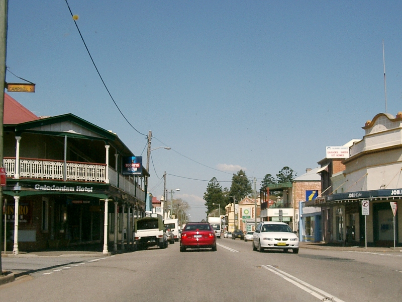 |
Singleton: New England Hwy as it passes through the town of Singleton, near the junction with Campbell & Cambridge Streets, September 2005. Image © Paul Rands |
|
 |
Liddell & Bayswater Power Station Interchange: Northbound through the interchange for the power stations at Liddell, August 2007. Click here for a photo of the old black sign assembly the exit sign in this photo replaced (taken July 2007). Image © Paul Rands |
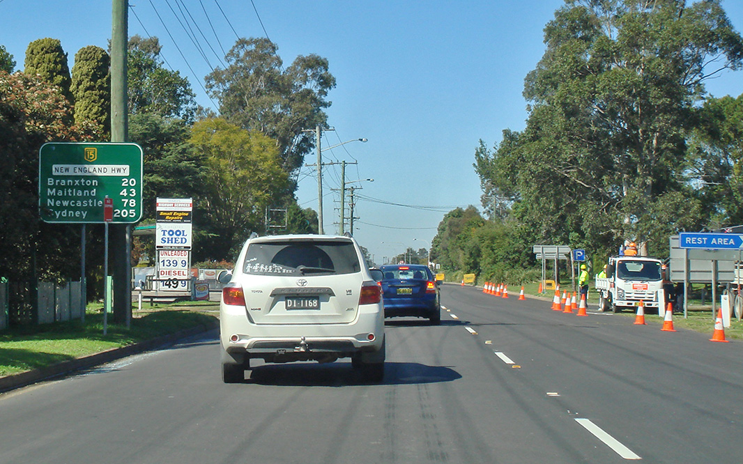 |
Distance Sign: RD sign as the New England Hwy (NH15) leaves Singleton, August 2011. Image © Paul Rands |
|
 |
Liddell & Bayswater Power Station Interchange: Northbound through the interchange for the power stations at Liddell, June 2006. Image © Paul Rands |
|||
 |
Passing through the Antiene Area: Northbound as you pass under one of the power station service roads at Antiene, July 2007. Image © Paul Rands |
|||
 |
Black Advance Directional Sign: Old black AD sign approaching Hebden Road at Anteine, July 2007. Image © Paul Rands |
|||
 |
Intersection Directional Sign: Northbound ID sign at the Hebden Rd junction at Antiene, December 2008. Image © Paul Rands |
|||
 |
Railway Overpass: Looking northwest at Antiene as the New England Hwy passes under one of the railways in the area, July 2007. Image © Paul Rands |
|||
 |
Black Advance Directional Sign: Black AD sign for the Thomas Mitchell Drive intersection, at Antiene, near Muswellbrook. December 2008. Click here for a photo of the old black sign taken in July 2007. Image © Paul Rands |
|||
 |
Thomas Mitchell Drive: New England Hwy (NH15) at the junction with Thomas Mitchell Dr at Antiene, December 2008. Image © Paul Rands |
|||
| Click here for the continuation of National Highway 15 between Muswellbrook and Scone Click here for the continuation of National Highway 15 between Singleton and Maitland |
||||
1 National Library of Australia
2 Roads and Traffic Authority
3 Department of Infrastructure, Transport, Regional Development and Local Government
Last updated: 15-Sep-2020 18:28
This site © Paul Rands. All rights reserved. Some portions © (copyright) by their respective and credited owners. Permission must be obtained before using any images from this site. For details, please email by clicking here.