|
|
|
|
|
| Northam-Toodyay Road, Newcastle Road, Fitzgerald Street, Peel Terrace, York Road, Panmure Road, Balladong Street & Great Southern Highway (State Route 120) - Pingelly to Wagin |
Statistics:
Route Numbering:

General Information:
The Great Southern Highway name begins at York and connects several Wheatbelt towns with towns in the Great Southern region on Western Australia. It consists of two way, single carriageway rural highway, which passes through several somewhat important country towns. The Great Southern Hwy runs almost parallel to the Albany Hwy (SR30), and lies east of the Albany Hwy. It also runs parallel with the Perth-Albany railway corridor for its entire length.
Multiplexes along the route include:
History:
Click here for the former SR120 alignment through the Narrogin town centre.
| Pingelly to Wagin | Wagin to Pingelly | |||
| Preview: | Description: | Preview: | Description: | |
 |
Trailblazer: Image © Paul Rands |
 |
AD Sign: Westbound AD sign on Arthur Road (SR107 / SR120) as you approach Reeve Street (Great Southern Hwy) / SR120 split, in Wagin. August 2008. Image © Paul Rands |
|
 |
Services Sign: Image © Paul Rands |
 |
Arthur Road / Reeve Street Intersection: Westbound on the corner of Reeve Street and Arthur Road in Wagin. SR107 travels straight from here and SR120 travels right from here. August 2008. Image © Paul Rands |
|
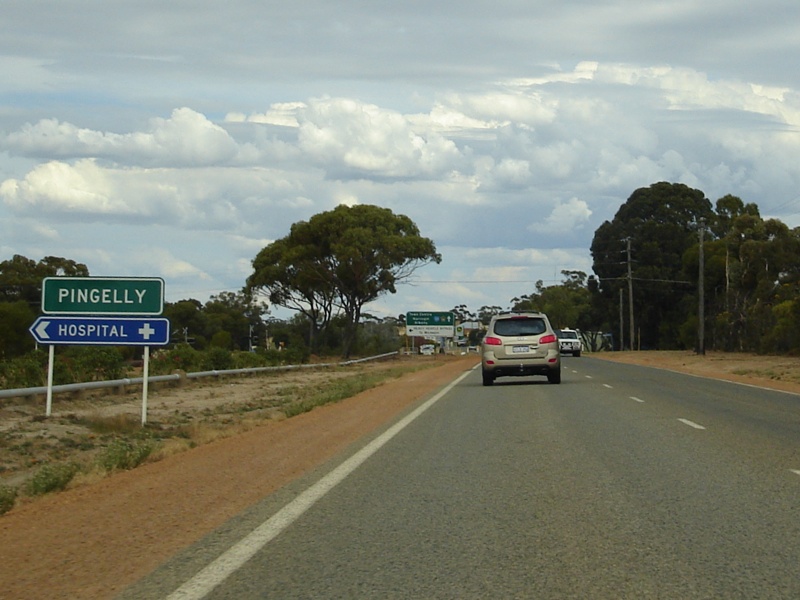 |
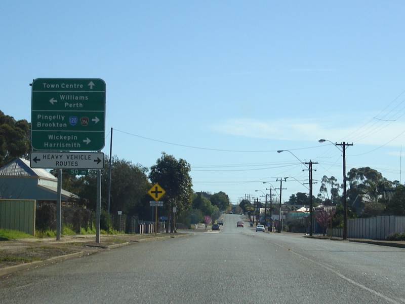
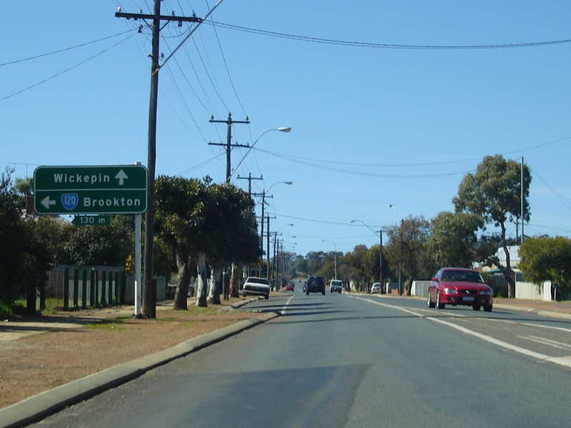
Entering Pingelly: Image © Paul Rands |
 |
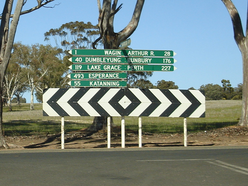
Black Distance Sign: Northbound on Reeve Street (Great Southern Highway) at Wagin, just after the SR107 split. August 2008. Image © Paul Rands |
|
 |
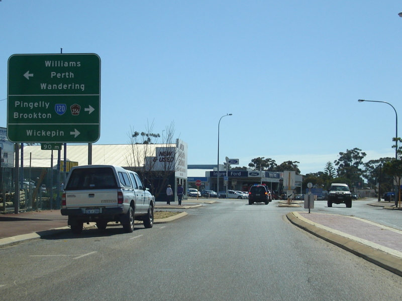
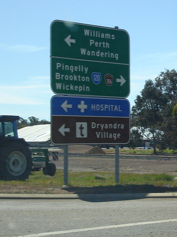
Advance Directional Sign: Image © Paul Rands |
 |
Black Town Sign: Old black sign announcing the town of Piesseville, August 2008. Image © Paul Rands |
|
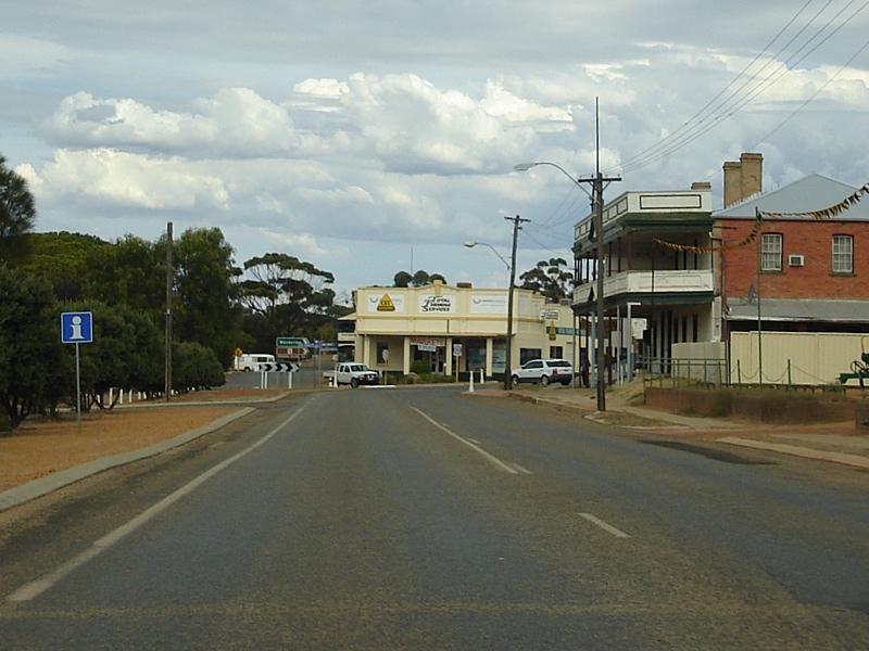 |
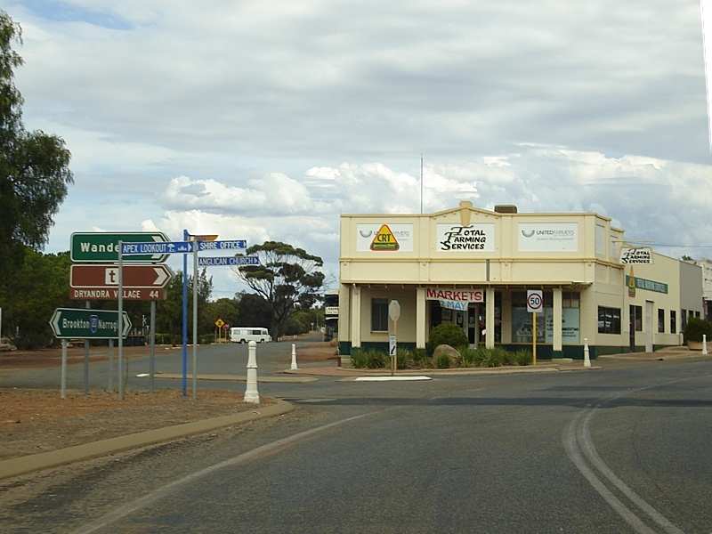
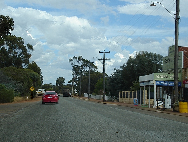
Pingelly Town Centre: Image © Paul Rands |
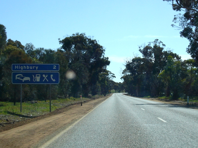 |
Services Sign: Services sign approching the town of Highbury, August 2008. Image © Paul Rands |
|
 |
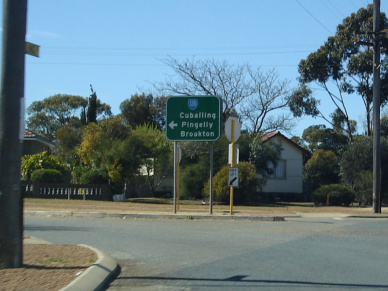
Quandrant St & North Bannister-Pingelly Rd Junction: Image © Paul Rands |
 |
Black Town Sign: Old black sign announcing the town of Highbury. August 2008. Image © Paul Rands |
|
 |
Pingelly Town Centre: Image © Paul Rands |
 |
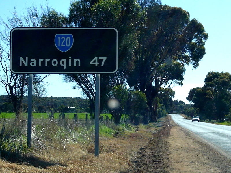
Black Town Sign: Old faded black sign announcing the town of Narrogin, August 2008. Image © Paul Rands |
|
 |
Pasture Street Intersection: Image © Paul Rands |
 |
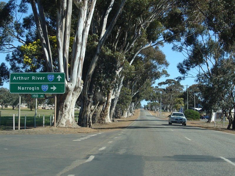
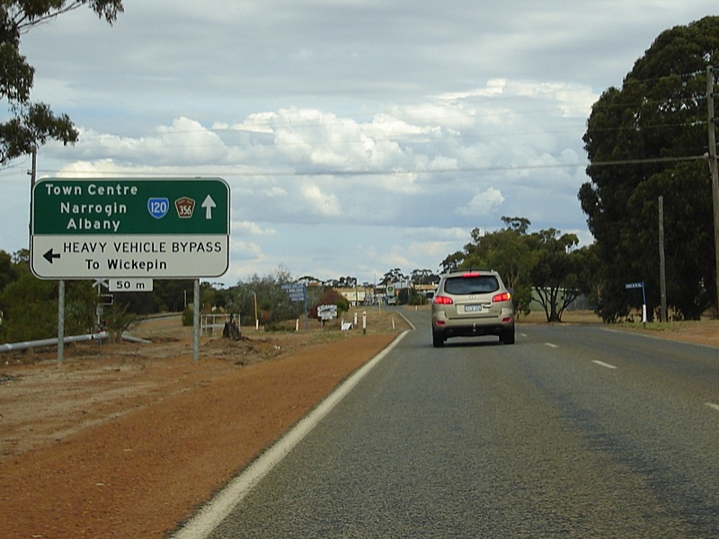
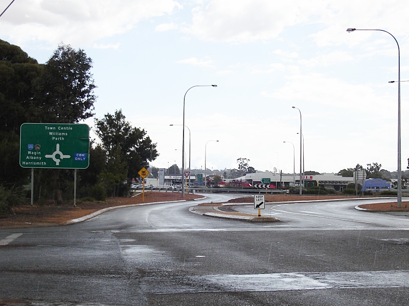
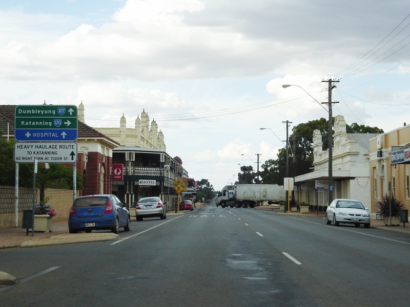
Advance Directional Sign: Advance directional sign approaching the intersection with Forrest Road in Narrogin. Great Southern Highway / SR120 turns right here to bypass the Narrogin town centre, August 2008. Image © Paul Rands |
|
 |
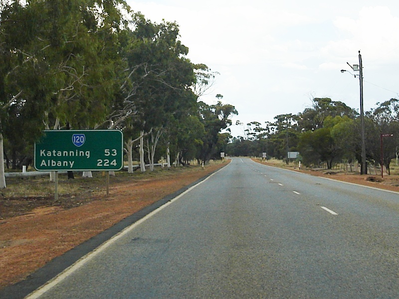
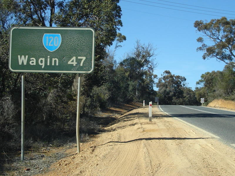
Distance Sign: Image © Paul Rands |
 |
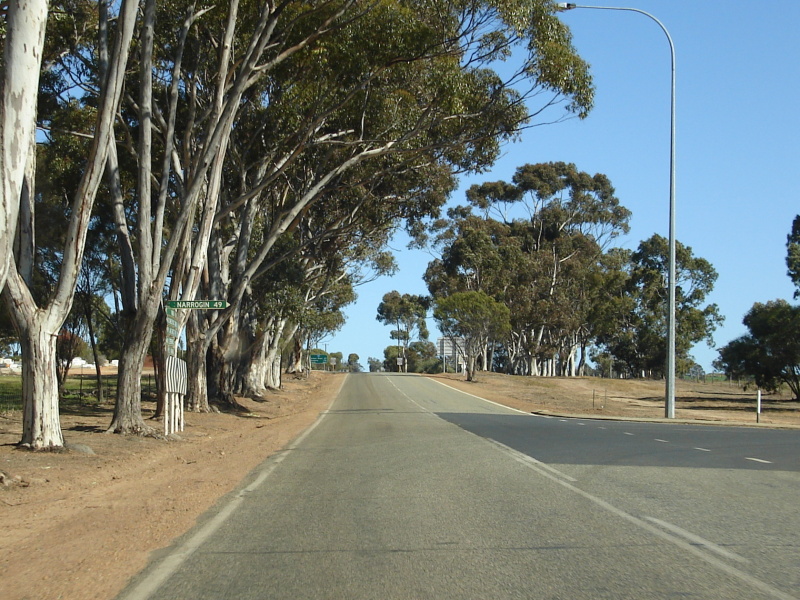
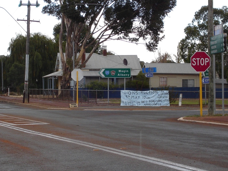
Advance Directional Sign: Northbound AD sign for SR120, but located 100 metres from SR120's routing, on Narrogin's main street, Federal Street, August 2008. Image © Paul Rands |
|
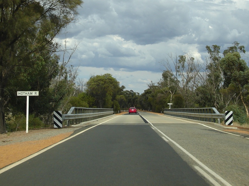 |
Hotham River: Image © Paul Rands |
 |
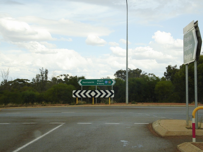
Intersection Directional Sign: AD signs being used as ID signs on the corner of Federal and Kipling Streets in Narrogin, 100 metres from the actual SR120 routing, August 2008. Image © Paul Rands |
|
 |
Services Sign: Image © Paul Rands |
 |
Advance Directional Sign: Eastbound AD sign on Kipling Street approaching Pioneer Drive / John Street in Narrogin, August 2008. Image © Paul Rands |
|
 |
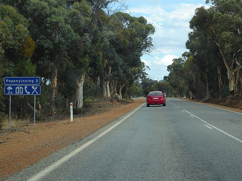
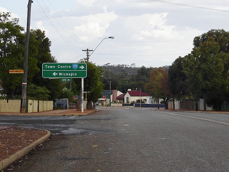
Entering Popanyinning: Image © Paul Rands |
 |
Intersection Directional Sign: ID sign on the roundabout located on the corner of Pioneer Drive and John Street in Narrogin, August 2008. Image © Paul Rands |
|
 |
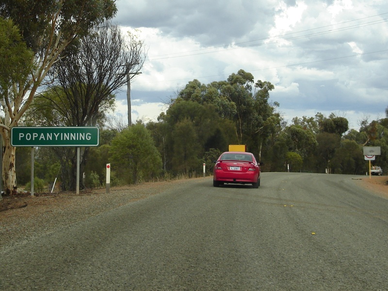
Popanyinning Town Centre: Image © Paul Rands |
 |
Advance Directional Sign: AD sign for the Great Southern Highway (Garlfield Street) split from Kipling Street, eastbound at Narrogin. August 2008. Image © Paul Rands |
|
 |
Popanyinning Town Centre: Image © Paul Rands |
 |
Corner of Kipling and Garfield Streets: SR120 as it turns left from Kipling St onto Garlfield St in Narrogin, August 2008. Image © Paul Rands |
|
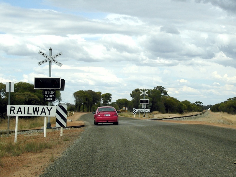 |
Railway Crossing: Image © Paul Rands |
|||
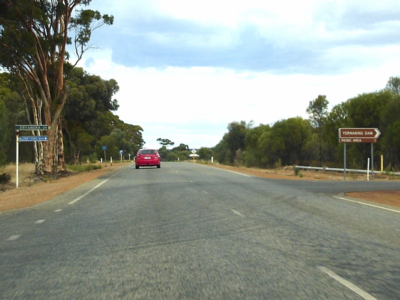 |
Yornaning Road Intersection: Image © Paul Rands |
|||
 |
Trailblazer: Image © Paul Rands |
|||
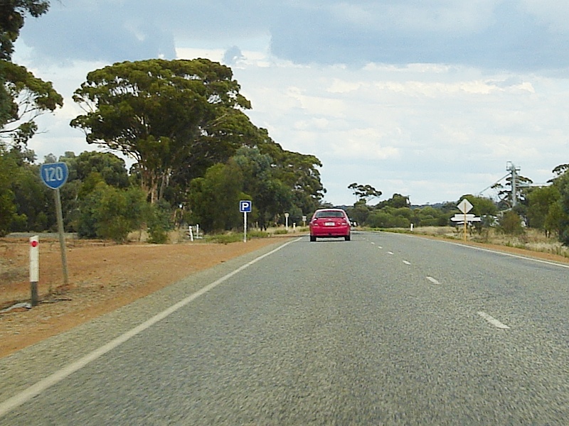
 |
Services Sign: Image © Paul Rands |
|||
 |
70km/h zone Ahead: Image © Paul Rands |
|||
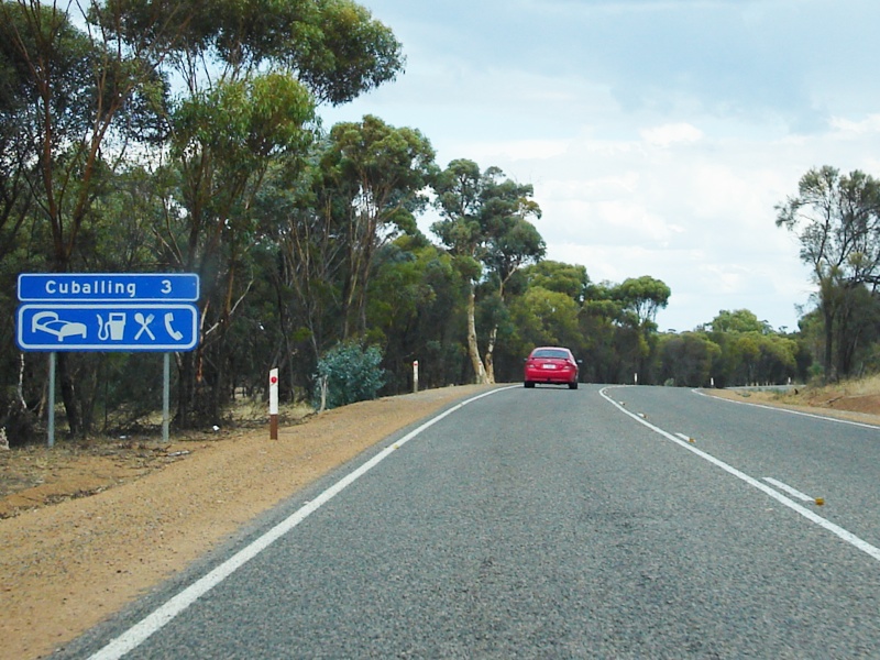
 |
Black Town Name Sign: Image © Paul Rands |
|||
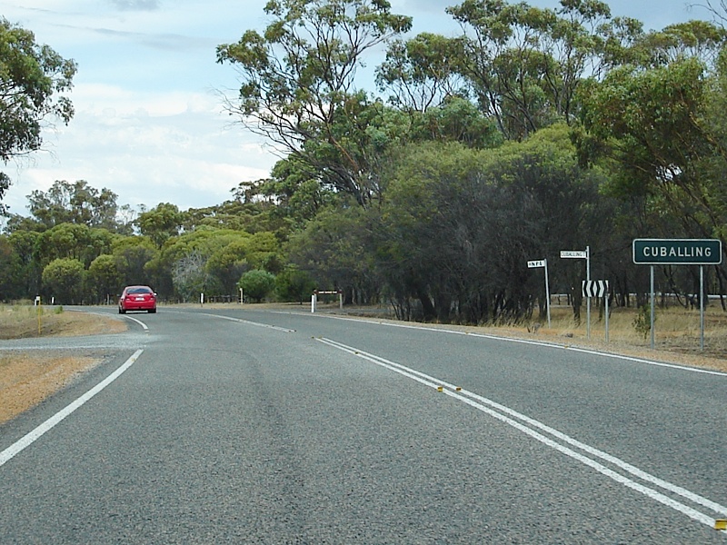
 |
Cuballing Town Centre: Image © Paul Rands |
|||
 |
Cambell Street Intersection: Image © Paul Rands |
|||
 |
Cuballing Town Centre: Image © Paul Rands |
|||
 |
Entering Narrogin: Image © Paul Rands |
|||
 |
Advance Directional Sign: Image © Paul Rands |
|||
 |
Black Fingerboards: Image © Paul Rands |
|||
 |
Advance Directional Sign: Image © Paul Rands |
|||
 |
Intersection Directional Sign: Image © Paul Rands |
|||
 |
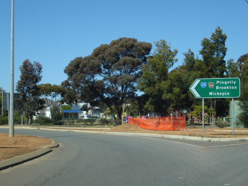
Federal St / Forrest St Junction: Image © Paul Rands |
|||
 |
ID sign with black Top Knot: Image © Paul Rands |
|||
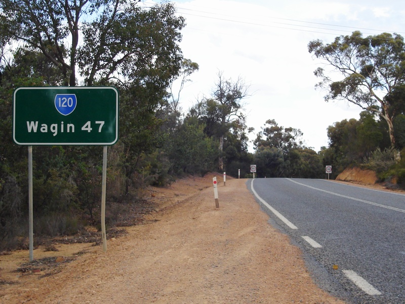 |
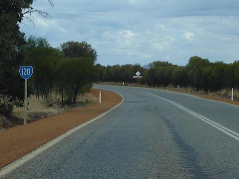
Distance Sign: RD sign on the Great Southern Hwy, on the outskirts of Narrogin. April 2009. This sign replaced an old faded black RD sign, which was snapped on August 2008. Image © Paul Rands |
|||
 |
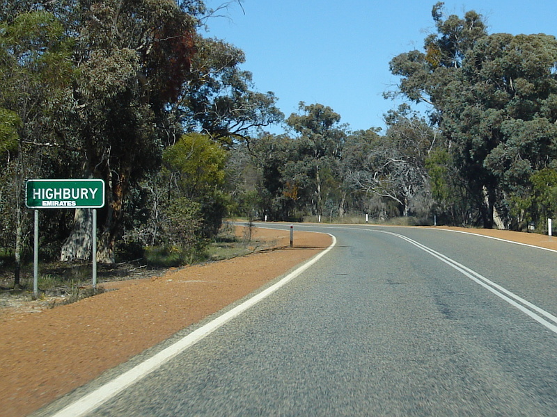
Services Sign: Southbound services sign as you approach the town of Highbury. August 2008. Image © Paul Rands |
|||
 |
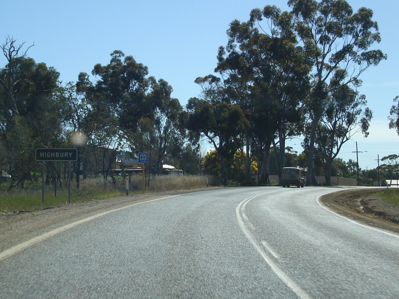
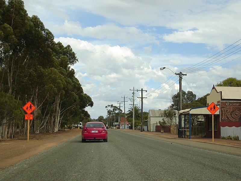
Entering Highbury: Southbound as you enter the small town of Highbury. August 2008. Image © Paul Rands |
|||
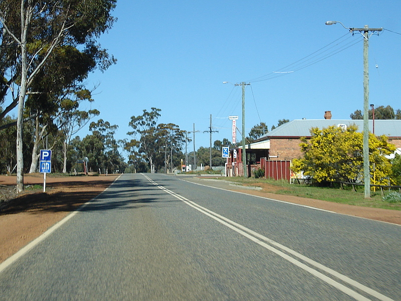 |
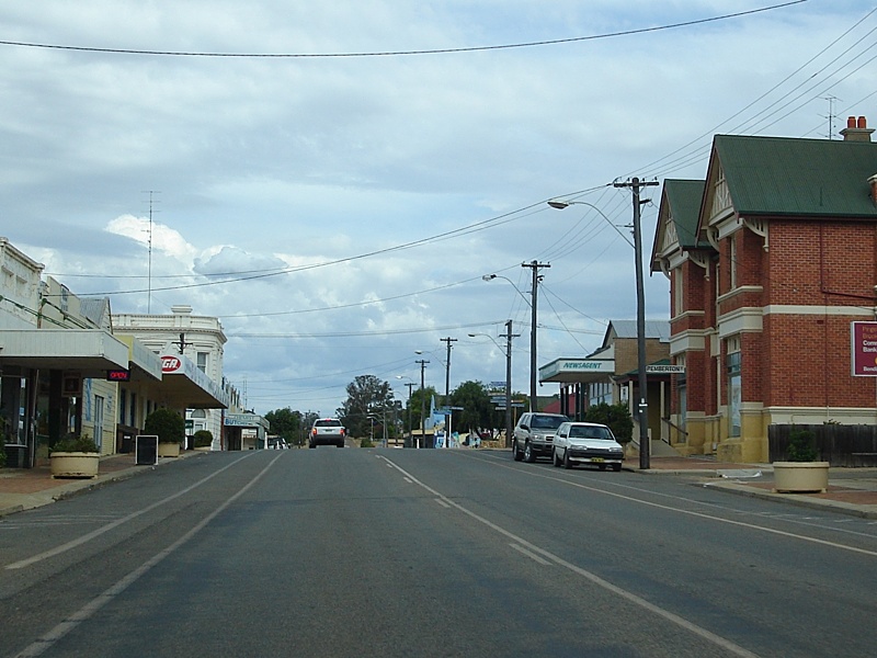
Highbury: Travelling through the Highbury town centre, August 2008. Image © Paul Rands |
|||
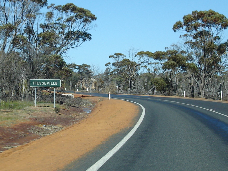 |
Black Town Sign: Faded southbound sign announcing the village of Piesseville, August 2008. Image © Paul Rands |
|||
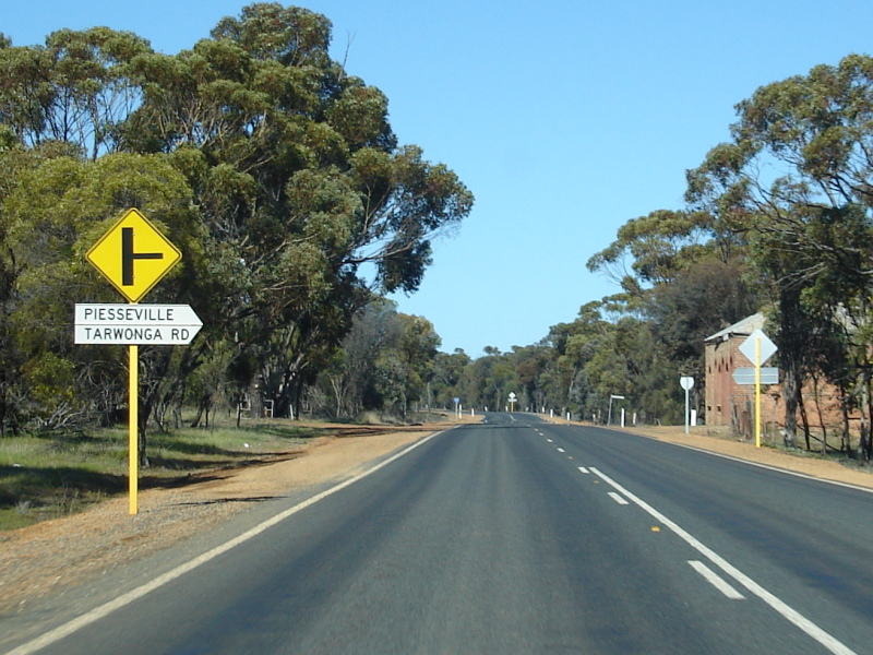 |
Piesseville Town Centre: Southbound approaching Piesseville-Tarwonga Road. August 2008. Image © Paul Rands |
|||
 |
Black Fingerboard: Southbound through the intersection with Ballagin Road between Piessevile and Wagin, August 2008. Image © Paul Rands |
|||
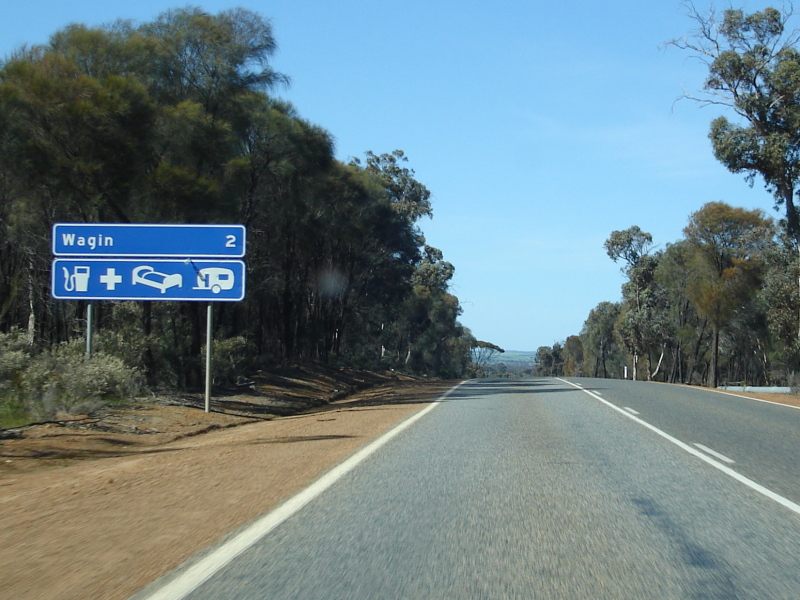 |
Services Sign: Services sign as you approach the Wagin area, August 2008. Image © Paul Rands |
|||
 |
Entering Wagin: Looking southeast as you enter the town of Wagin near Ballagin Street (former SR120), August 2008. Image © Paul Rands |
|||
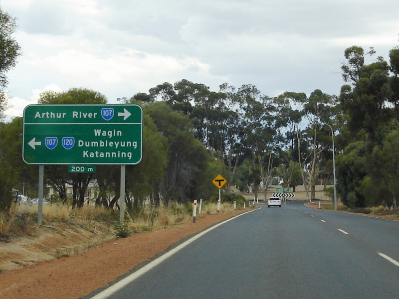 |
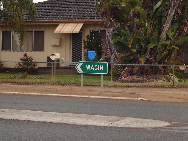
Advance Directional Sign: Southbound on Great Southern Hwy (Reeve St) in Wagin approaching the T-junction with Arthur Road (SR107). SR120 duplexes left into Wagin's town centre at this junction, April 2009. Image © Paul Rands |
|||
 |
Fingerboard Assembly: Southbound on the corner of Great Southern Hwy (Reeve St) and Arthur Road (SR107) in Wagin. SR120 duplexes left into Wagin's town centre at this junction, August 2008. Image © Paul Rands |
|||
 |
Trailblazer: Image © Paul Rands |
|||
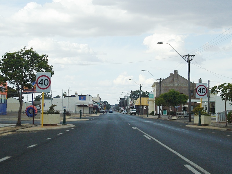 |
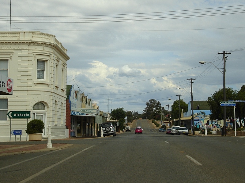
Wagin Town Centre: Image © Paul Rands |
|||
 |
Advance Directional Sign: Image © Paul Rands |
|||
 |
RD sign: Image © Paul Rands |
|||
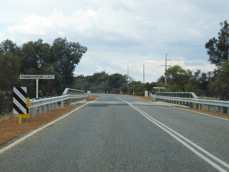 |
Parkeyerring Lake: Image © Paul Rands |
|||
| Click here for the continuation of SR120 between Wagin & Cranbrook Click here for the continuation of SR120 between Pingelly & Toodyay |
||||
1 Main Roads Western Australia
2 The Town of Narrogin
Last updated: 08 Nov 2019 01:09
This site © Paul Rands. All rights reserved. Some portions © (copyright) by their respective and credited owners. Permission must be obtained before using any images from this site. For details, please email by clicking here.