|
|
|
|
|
 |
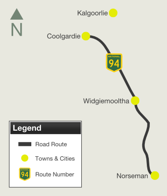
Coolgardie-Esperance Highway, Roe Highway, Great Eastern Highway Bypass & Great Eastern Highway (National Highway 94) - Coolgardie To Norseman |
Statistics:
Route Numbering:

General Information:
National Highway is a major route in WA, directly linking the capital city of Perth with the mining and goldfield regions in the eastern part of the state, such as Kalgoorlie and Norseman, it also connects to National Highway 1, the Eyre Highway, which is the major link, via the Nullarbor Plain between the east and west coasts of Australia.
Outside of Perth, the route is bitumen paved single carriageway roadway. Some overtaking lanes exist along the route between Coolgardie and Perth's outer suburbs. Inside the metropolitan area, the route varies from mutli-lane arterial road to expressway standard.
The National Route 1 multiplex starts at Causeway at Burswood and ends at the intersection of Great Eastern Highway in Guildford. The State Route 3 multiplex starts at Great Eastern Highway, travels along Roe Highway before the multiplex ends at the traffic signals on the corner of Roe Highway and Great Eastern Highway Bypass at Hazelmere.
The highway generally runs parallel with the Mundaring to Kalgoorlie water pipeline, which pipes drinking water drawn from Mundaring Weir near Perth to Kalgoorlie.
History:
Click here for photos of the former alignment between Coolgardie and Norseman
| Norseman to Coolgardie | Coolgardie to Norseman | |||
| Preview: | Description: | Preview: | Description: | |
 |
Eastern Terminus: The eastern terminus of National Highway 94. This is in Norseman and is also the junction for National Route 1 (Prinsep Street) and National Highway 1 (Eyre Hwy). December 2007. Image © Paul Rands |
 |
Start Tourist Drive 357: Sign at Coolgardie announcing start of TD357, April 2018. Image © Paul Rands |
|
 |
Distance Sign: Northbound reassurance distance sign as you leave Norseman. April 2018. Click here for a photo of this location by Brendan Cherry from November 2012. Image © Paul Rands |
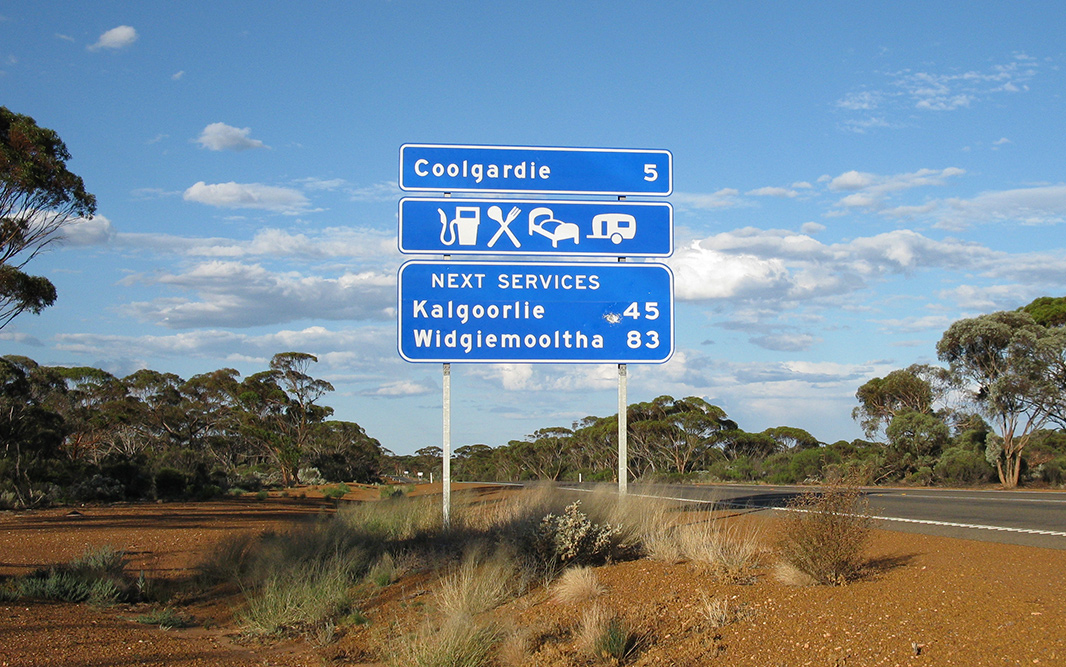 |
Services Sign: Services sign at Coolgardie, April 2018. Image © Paul Rands |
|
 |
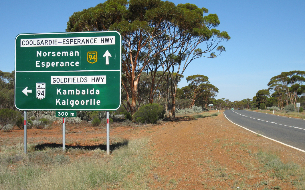
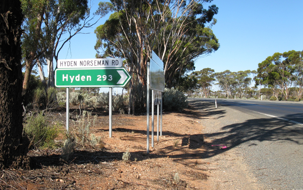
Hyden-Norseman Road: Corner of Coolgardie-Esperance Hwy (NH94) and Hyden-Norseman Rd at Norseman, April 2018. Image © Paul Rands |
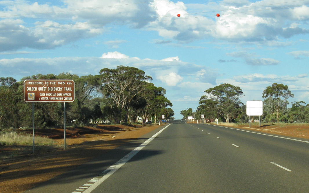 |
Start Golden Quest Discovery Trail: Sign at Coolgardie announcing start of the Golden Quest Discovery Trail, April 2018. Image © Paul Rands |
|
 |
Intesection Directional Sign: ID sign facing Hyden-Norseman Rd at Norseman, April 2018. Image © Paul Rands |
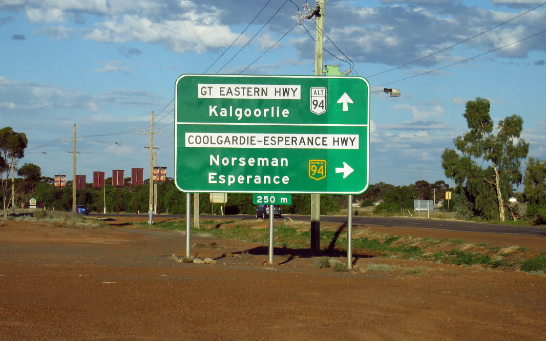 |
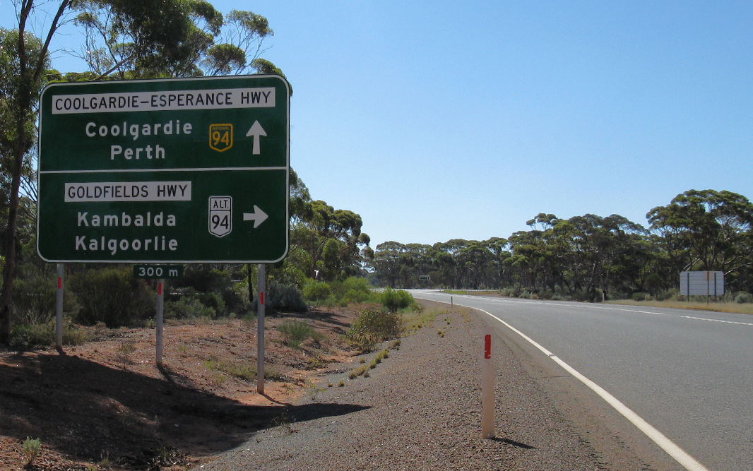
Advance Directional Sign: AD sign at Coolgardie approaching Great Eastern Hwy (ALT-NR94) and Coolgardie-Esperance Hwy (NH94), April 2018. Image © Paul Rands |
|
 |
Lake Cowan: Great Eastern Hwy (NH94) as it passes Lake Cowan, November 2012. Image © Brendan Cherry |
 |
Intersection Directional Sign: ID sign on the corner Coolgardie-Esperance Highway and Great Eastern Highway in Coolgardie. April 2018. Click here for a photo by Michael McPhee from March 2009. Image © Paul Rands |
|
 |
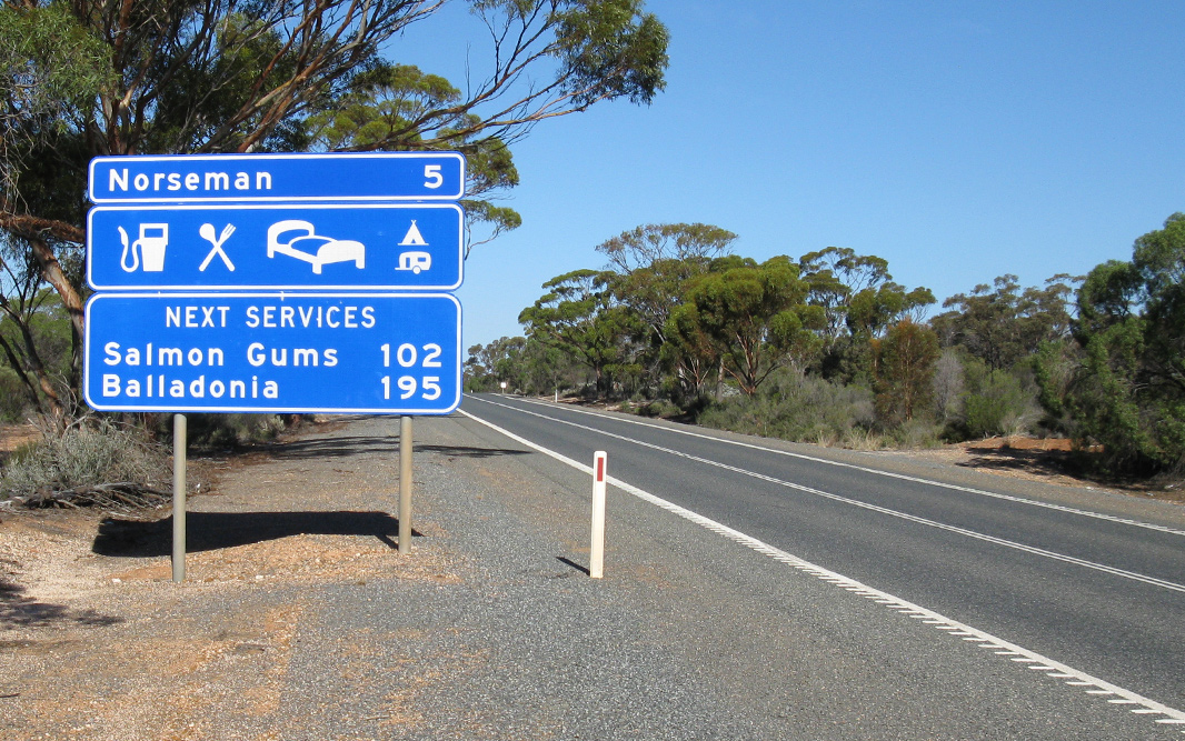
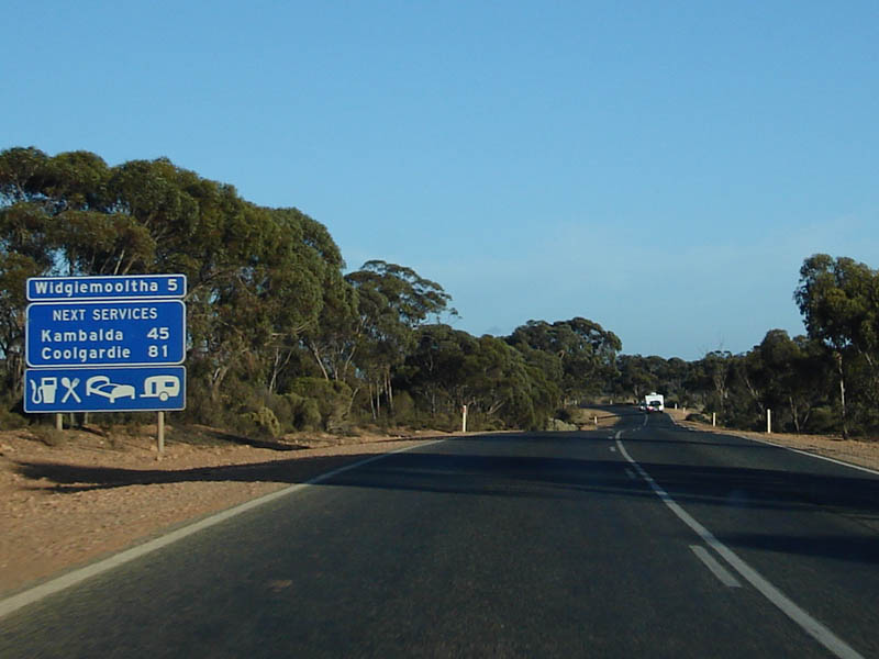
Services Sign: Services signage as you approach the Widgiemooltha roadhouse, northbound. April 2018. Click here for a photo of this location by Paul Rands from December 2007. Image © Paul Rands |
 |
Distance Sign: Southbound RD sign as you leave Coolgardie near Great Eastern Highway intersection. April 2018. Click here for a photo by Paul Rands from December 2007. Image © Paul Rands |
|
 |
Intersection Directional Sign: ID sign at the corner of Coolgardie-Esperance Hwy (NH94) and Kingswood St, Widgiemooltha, April 2018. Image © Paul Rands |
 |
Advance Directional Sign: AD sign at Widgiemooltha approaching Goldfields Hwy (ALT-NR94), April 2018. Image © Paul Rands |
|
 |
Distance Sign: Looking northbound at Widgiemooltha. April 2018. Click here for a photo of this location by Paul Rands from December 2007. December 2007. Image © Paul Rands |
 |
Goldfields Highway: Corner of Coolgardie-Esperance Hwy (NH94) and Goldfields Hwy (ALT-NR94) at Widgiemooltha, April 2018. Image © Paul Rands |
|
 |
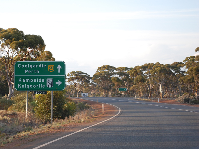
Advance Directional Sign: AD sign approaching the ALT-NR94 / Goldfields Hwy intersection at Kambalda. April 2018. Click here for a photo of this location by Brendan Cherry from November 2012. Image © Paul Rands |
 |
Intersection Directional Sign: ID sign facing Goldfields Hwy (ALT-NR94) at Widgeemooltha, April 2018. Image © Paul Rands |
|
 |
Goldfields Hwy Intersection: Southern intersection of the Goldfields Highway at Kambalda, northbound. April 2018. Click here for a photo of this location by Brendan Cherry from November 2012. Click here for a photo of this location by Paul Rands from December 2007. Image © Paul Rands |
 |
Reassurance Directional Sign: Distance sign at Widgeemooltha, April 2018. Image © Paul Rands |
|
 |
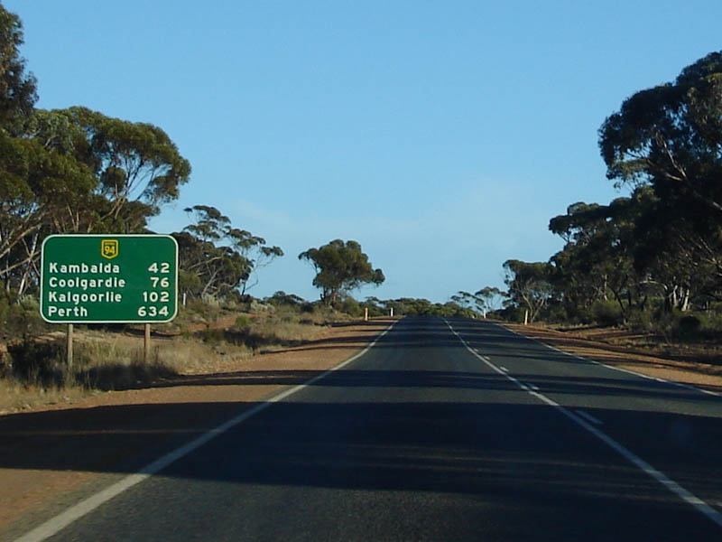
Distance Sign: Distance signage after the Goldfields Hwy intersection, northbound at Kambalda. April 2018. Image © Paul Rands |
 |
Services Sign: Services sign at Widgeemooltha, April 2018. Image © Paul Rands |
|
 |
Coolgardie Services Sign: Northbound approaching Coolgardie. December 2007. Image © Paul Rands |
 |
Reassurance Directional Sign: Distance sign at Widgeemooltha, April 2018. Image © Paul Rands |
|
 |
Entering Coolgardie: Sign announcing the town of Coolgardie, northbound. December 2007. Image © Paul Rands |
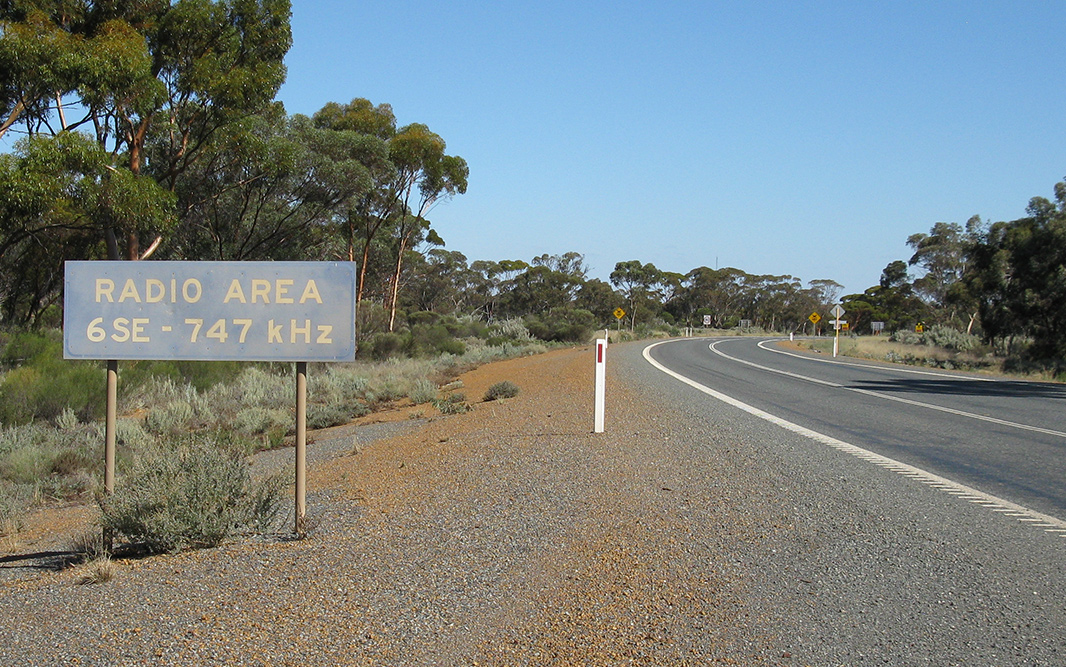 |
Radio Signal Sign: Old sign with local radio station frequency at Higginsville, April 2018. Image © Paul Rands |
|
 |
Approaching Great Eastern Highway
Intersection: Approaching the Great Eastern Highway intersection at Coolgardie. December 2007. Image © Paul Rands |
 |
Hyden-Norseman Road: Corner of Coolgardie-Esperance Hwy (NH94) and Hyden-Norseman Rd at Norseman, April 2018. Image © Paul Rands |
|
 |
Advance Directional Sign: Northbound AD at Coolgardie for the Great Eastern Highway intersection. December 2007. Image © Paul Rands |
 |
Lake Cowan: Coolgardie-Esperance Hwy (NH94) crossing Lake Cowan at Norseman, April 2018. Image © Paul Rands |
|
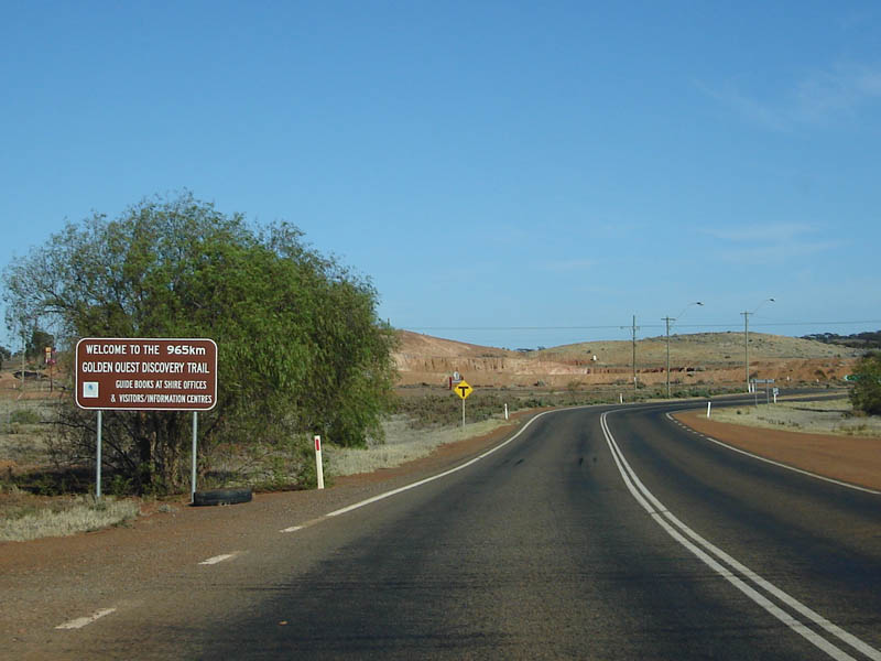 |
Golden Quest Discovery Trail Begins: The start of the 965 km Golden Quest Discovery trail, approaching Great Eastern Hwy at Coolgardie. December 2007. Image © Paul Rands |
 |
Services Sign: Services sign at Norseman, April 2018. Image © Paul Rands |
|
 |
Great
Eastern Highway Junction: ID sign assembly on the corner of the Great Eastern Highway and Coolgardie-Esperance Highway at Coolgardie. This intersection is the northern terminus of both ALT-NR94 and Coolgardie-Esperance Highway. December 2007. Image © Paul Rands |
 |
Entering Norseman: Coolgardie-Esperance Hwy (NH94) as it enters the town of Norseman, April 2018. Image © Paul Rands |
|
 |
Bayley Street Coolgardie: Entering the business district of Coolgardie, westbound. December 2007. Coolgardie is approximately 550 kilometres east of Perth, and 350 kilometres north of Esperance. On September 17, 1892 Arthur Bayley rode into Southern Cross and deposited with the Mining Warden 554 ounces of gold that he and his partner William Ford, had found at an area called Fly Flat, 120 miles to the east. Within hours the frenzied rush to Coolgardie began and with it the greatest movement of people in Australia’s history. 4 Image © Paul Rands |
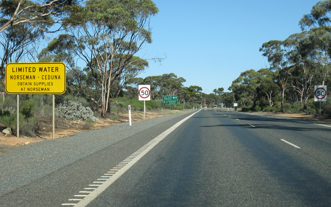 |
Limited Water Warning Sign: Sign warning at Norseman of limited access to water on the Eyre Hwy (NH1), April 2018. Image © Paul Rands |
|
 |
Coolgardie: Looking west down Bayley Street (NH94). December 2007. Image © Paul Rands |
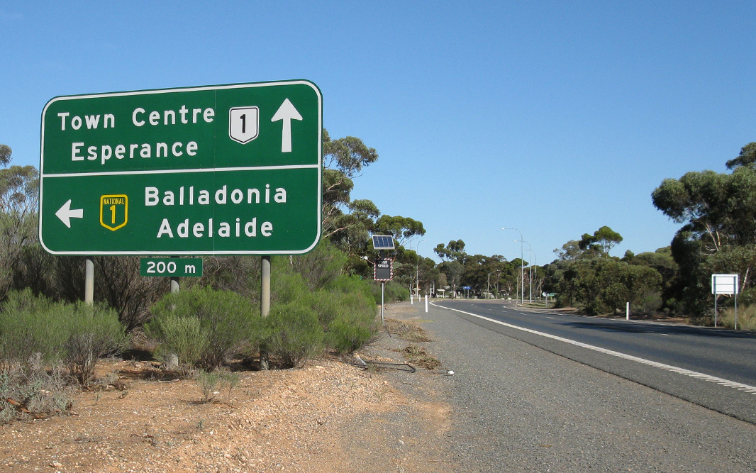 |
Advance Directional Sign: AD sign approaching the Eyre Hwy (NH1) / Coolgardie-Esperance Hwy (NR1) intersection at Norseman, April 2018. |
|
 |
Coolgardie: Looking west down Bayley Street (NH94). December 2007. Image © Paul Rands |
 |
End National Highway 94: The eastern terminus of NH94, the junction with Eyre Hwy (NH1) and Coolgardie-Esperance Hwy (NR1) at Norseman, April 2018. Image © Paul Rands |
|
 |
Distance Sign: RD signage as you leave Coolgardie, westbound. April 2018. Click here for a photo of this location by Paul Rands from December 2007. Image © Paul Rands |
|||
 |
Tourist Sign: Tourist AD sign for the Camel Farm at Coolgardie. December 2007. Image © Paul Rands |
|||
 |
Warning Sign: Camel warning sign, westbound at Coolgardie. December 2007. Image © Paul Rands |
|||
| Click here for the continuation of NH94 between Coolgardie & Merredin | ||||
1 UBD Concise
Motoring Atlas of Australia, 3rd Edition, published by Universal
Publishers Pty Ltd. ISBN 978-0-7319-2081-5.
2 List of MRWA Controlled Roads, November 2008
3 State
Library of WA
4 Coolgardie Shire
Last updated: 21-Jul-2020 12:11
This site © Paul Rands. All rights reserved. Some portions © (copyright) by their respective and credited owners. Permission must be obtained before using any images from this site. For details, please email by clicking here.