|
|
|
|
|
 |
New England Highway & Cunningham Highway (National Highway 15) - Glengallan to Aratula |
Statistics:
Route Numbering:

General Information:
The New England and Cunningham Highways link South East Queensland to southern freight markets including Sydney, and is a major freight route to and from regional communities in north-west New South Wales and southwest Queensland. The National Highway 15 segments of the Cunningham Highway and New England Highway form part of the National Highway system for which the Commonwealth Government has full funding responsibility. 2
The route features a mix of rural highway standards (southwest of Ipswich to NSW border) and freeway standards (through the eastern suburbs of Ipswich).
History:
| Preview: | Description: |
 |
Distance
Sign: RD sign on the Cunninham Hwy after the A3 / NH15 junction at Glengallan. March 2006. Image © Paul Rands |
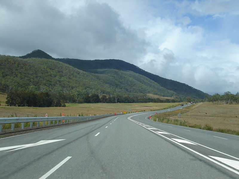 |
Maryvale
Area: Typical highway conditions of Maryvale area, March 2006. Image © Paul Rands |
 |
Cunnighams Gap: Cunningham Hwy (NH15) at Tregony, approaching Cunninghams Gap, December 2002. Image © Michael Greenslade |
 |
Middle
Branch: Brisbane-bound as you cross the Great Dividing Range via Cunninham's Gap at Middle Branch, March 2006. Image © Paul Rands |
 |
Reduce
Speed Sign: Custom reduce speed sign warning of the dangers of the road down the mountain at Cunningham's Gap. March 2006, Middle Branch. Image © Paul Rands |
 |
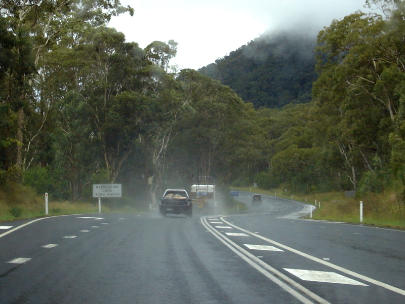
Typical
Conditions: The road conditions that can be expected in the Cunninham's Gap / Middle Branch area, March 2006. Image © Paul Rands |
 |
Approaching
Lake Moogerah Road: Eastbound AD sign at Mt Edwards, March 2006. Image © Paul Rands |
 |
Distance
Sign: RD sign after the Lake Moogera Road intersection at Mt Edwards, March 2006. Image © Paul Rands |
 |
Entering
Aratula: Sign announcing the town of Aratula, with NH15 trailblazer, March 2006. Image © Paul Rands |
 |
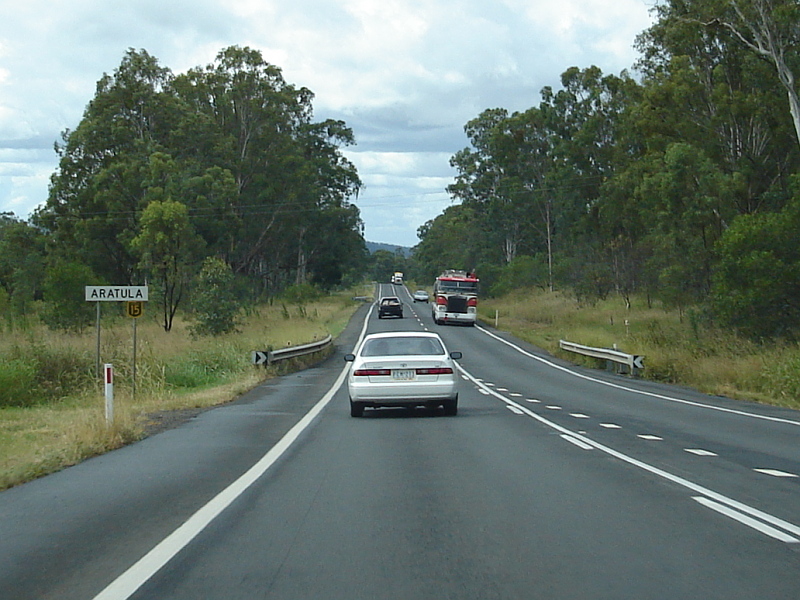
Aratula
Town Centre: Approaching the main part of Aratula, March 2006, as you head northeast. Image © Paul Rands |
 |
Advance
Directional Sign: AD sign as you approach the Rosevale-Aratula Road at Aratula. March 2006. Image © Paul Rands |
| Click here for the
continuation of National Highway 15 between Aratula and Blackstone Click here for the continuation of National Highway 15 between Glengallan and Stanthorpe |
|
1 Main Roads State Road Network of
Queensland Map, 30 June 2008
2
Queensland Department of Main Roads
3 The office of Deputy Premier, Treasurer and
Minister for State Development, Trade and Innovation
Last updated: 21-Oct-2021 14:22
This site © Paul Rands. All rights reserved. Some portions © (copyright) by their respective and credited owners. Permission must be obtained before using any images from this site. For details, please email by clicking here.