|
|
|
|
|
 |
Burnett Highway & D'Aguilar Highway (National Route 17) (Decommissioned) |
Statistics:
Route Numbering:
General Information:
National Route 17 was a rural route linking Rockhampton with Ipswich, west of Brisbane. The route serviced rich agricultural districts and crosses the Great Dividing Range near Mt Morgan and Wivenhoe Dam near Esk.
National Route 17 has been only partially decommissioned, with a section still in service between Blacksoil and Yarraman.
The Brisbane Valley Highway gains its name from passing through the Brisbane Valley. The Brisbane Valley is named appropriately as it provides the greater catchment for the Brisbane River. The Burnett Hwy takes its name from the Burnett River of which it generally follows for a significant length. The highway also passes through the North and South Burnett regions, which are also named after the river. The name Burnett originates from surveyor James Burnett who established the survey department in Brisbane in 1844.
Multiplexes along the route include:
History:

| Yarraman to Gracemere | Gracemere to Yarraman | |||
| Preview: | Description: | Preview: | Description: | |
 |
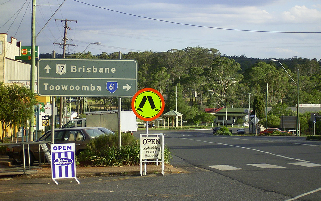
Advance Directional Sign: AD sign approaching New England Hwy (SR61) at Yarraman, December 2013. Image © Michael Greenslade |
 |
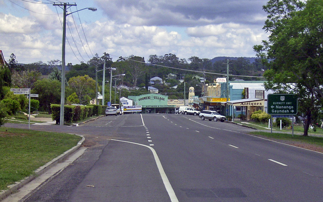
Wide Bay Highway: Corner of Burnett Hwy (NR17) and Wide Bay Hwy (SR49) at Goomeri, December 2013. Note the missing SR49 shield. Image © Michael Greenslade |
|
 |
Wide Bay Highway: Corner of Burnett Hwy (NR17) and Wide Bay Hwy (SR49) at Goomeri, December 2013. Note the missing SR49 shield. Image © Michael Greenslade |
 |
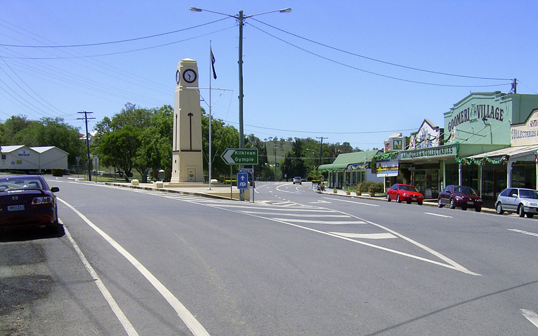
Advance Directional Sign: AD sign on Wide Bay Hwy (SR49) approaching Burnett Hwy (NR17) at Goomeri, January 2003. Image © Michael Greenslade |
|
 |
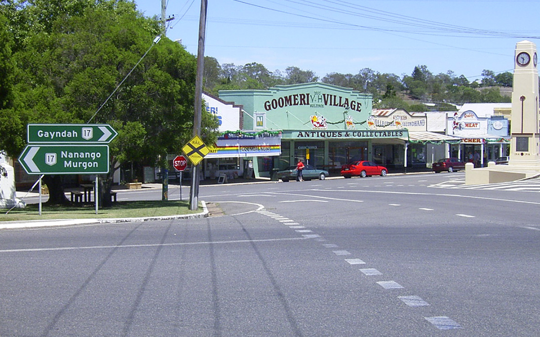
Reassurance Directional Sign: Distance sign at Goomeri, January 2003. Image © Michael Greenslade |
 |
Intersection Directional Sign: ID sign on Wide Bay Hwy (SR49) at Goomeri approaching Burnett Hwy (NR17), December 2013. Image © Michael Greenslade |
|
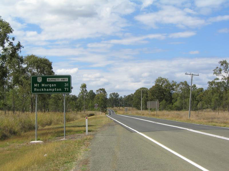 |
Distance
Sign: RD sign at Dululu, 2004. Image © Jamie Scuglia |
 |
Entering Yarraman: D'Aguilar Hwy (NR17) as it enters the town of Yarraman, December 2013. Image © Michael Greenslade |
|
 |
Black Advance Directional Sign: Black AD sign approaching New England Hwy (SR61) at Yarraman, January 2004. Image © Michael Greenslade |
|||
 |
Advance Directional Sign: AD sign at Ironbark approaching Warrego Hwy (A2), November 2013. Image © Michael Greenslade |
|||
| Click here for the active NR17 section between Blacksoil and Yarraman | ||||
1 Transport
& Main Roads, Queensland state-controlled roads and region maps, Wide Bay/Burnett Region: front
2 Sam Laybutt (OzRoads)
Last updated: 25-Oct-2021 0:26
This site © Paul Rands. All rights reserved. Some portions © (copyright) by their respective and credited owners. Permission must be obtained before using any images from this site. For details, please email by clicking here.