|
|
|
|
|
 |
New England Highway (National Highway 15) - Deepwater to QLD Border (Decommissioned) |
Statistics:
Route Numbering:

General Information:
National Highway 15 is one the major routes in New South Wales and Queensland. It links the farming regions of NSW to the ports at Newcastle and also to other major roads to Sydney and it's also a link to Brisbane's metropolitan area.
The route consists of single carriageway 2-lane rural highway, through to multi-lane divided sections, and includes two multiplexes: National Route 34, the Oxley Highway, between Tamworth and Bendemeer, and also National Route 38, the Gwydir Highway at Glen Innes.
History:
The New England Highway originally formed part of the Great Northern Road from Sydney via Wiseman's Ferry to the Queensland border (near Mt Lindesay), taking shape as settlement spread northward from the lower Hunter Valley. By 1851 the Great Northern Road had reached the Gap, two miles beyond Murrurundi. In 1858 it was classified as one of three Main Roads in the colony (Great Western and Great Southern) and extended from Morpeth via Maitland, Singleton, Muswellbrook, Scone, Murrurundi and Tamworth, to Armidale, a distance of about 236 miles. Captain Martindale, Chief Railway Commissioner, who was also responsible for roads, stressed the need for bridges as in many cases long circuits had to be made to find a crossing over a stream. In 1860 arrangements were in progress for building 90 culverts and minor bridges and for forming new sections of road, including a new ascent to Murrurundi Gap, which was previously steep with sharp dangerous turns. In 1865 the section of road between Muswellbrook and Murrurundi was metalled and a deviation suggested between Blandford and Murrurundi to skirt the Page River, obviating two bridges, however, such a deviation was never constructed. With the construction of the Northern Railway line from Newcastle, commenced in the 1850s and reaching Murrurundi in 1872, attention was diverted away from roads and sections of the Great Northern Road were in poor condition. Despite the impact of the railway, roads developed steadily and considerable progress was made in the bridging of rivers and creeks. 2
| Deepwater to QLD Border | QLD Border to Deepwater | |||
| Preview: | Description: | Preview: | Description: | |
 |
Approaching Bolivia Hill Descent: Sign warning motorists to slow down for the steep run down the narrow roadway down Bolivia Hill. March 2006. Image © Paul Rands |
 |
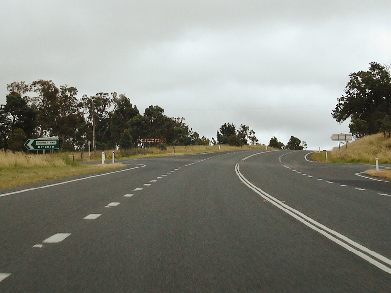
Bruxner Highway Junction: ID sign facing the northern section of the Bruxner Hwy at Tenterfield. April 2007. Image © Michael Gill |
|
 |
Steep Descent Sign: Standard Steep Descent warning sign as you start driving down Bolivia Hill. March 2006. Image © Paul Rands |
 |
Distance Sign: Southbound RD sign after the northern Bruxner Hwy intersection at Tenterfield, April 2007. Image © Michael Gill |
|
 |
Bolivia Hill: Northbound along Bolivia Hill. March 2006. Image © Paul Rands |
 |
Stop Revive Survive Sign: Southbound RD style sign approaching Tenterfield, April 2007. Image © Michael Gill |
|
 |
Bolivia Hill: One of the tight curves along Bolivia Hill. Many are flanked by what looks to be, in some cases, hand cut rock facings. March 2006. Image © Paul Rands |
 |
Speed Camera: Approaching the speed camera located on the New England Hwy in the northern reaches of Tenterfield's town area. April 2007. Image © Michael Gill |
|
 |
Northbound at Bolivia: Typical conditions between Bolivia and Bluff Rock. March 2006. Image © Paul Rands |
.jpg) |
Advance Directional Sign: Southbound AD sign approaching the Naas Street (former Mt Lindesay Highway) junction at Tenterfield. April 2007. Image © Michael Gill |
|
 |
Large Vehicle Warning: Sign urging drivers of large vehicles to call ahead before arriving at Tenterfield, so that arrangements can be made to bring their vehicle through town. The main street, which doubles as the New England Highway, is quite narrow, and some oversized vehicles, may have trouble getting along the roadway. March 2006, northbound at Bluff Rock. Image © Paul Rands |
 |
Black AD Sign: Old black advance directional sign approaching Rouse Street in Tenterfield. April 2007. Image © Michael Gill |
|
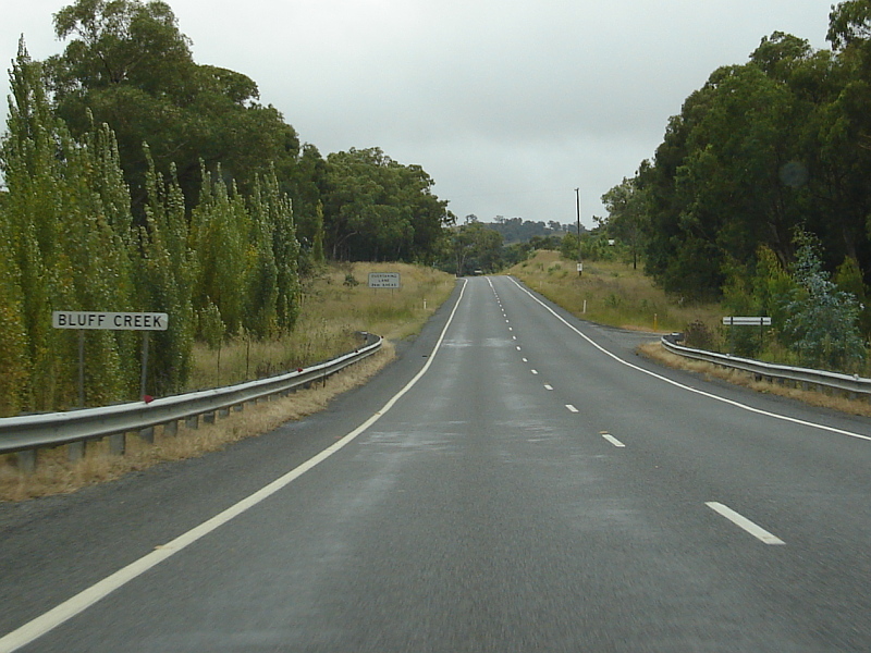 |
Crossing Bluff Creek: Northbound at Bluff Rock. March 2006. Image © Paul Rands |
 |
Corner of Rouse & High Streets: The Bruxner Hwy continues northbound from this junction, and shares the pavement with New England Hwy. NR44 ends at this intersection. April 2007. Image © Michael Gill |
|
 |
Entering Bungulla: Council sign announcing the little town of Bungulla. Northbound, March 2006. Image © Paul Rands |
 |
Black Intersection Directional Signs: Westbound black intersection directional signs facing the Bruxner Hwy as it meets New England Hwy in the Tenterfield CBD, July 2006. Image © Paul Rands |
|
 |
5km from Tenterfield: Heading north as you approach the Federation town of Tenterfield. March 2006. Image © Paul Rands |
 |
Distance Sign: Southbound RD sign on the outskirts of Tenterfield. April 2007. Image © Michael Gill | |
 |
Welcome Sign: Sign indicating that you are in Tenterfield. The town proclaims itself 'The Birthplace of the Nation' as Henry Parkes chose this spot to deliver his crucial Federation speech of 1889, which led to the establishment of Australia as a unified nation in 1901. March 2006. Image © Paul Rands |
|||
 |
Groombridges Creek: Crossing the Stoney Creek Bridge over Groombridges Creek at Tenterfield. March 2006. Image © Paul Rands |
|||
 |
Entering Tenterfield: Entering the 50 km/h blanket speed restriction as you head north through Tenterfield. March 2006. Image © Paul Rands |
|||
 |
Old Hospital Sign: Old sign as you head north near the caravan park at the southern end of Tenterfield. These days, the 'H' used on the sign has been superseded by the universal + sign for medical treatment. March 2006. Image © Paul Rands |
|||
 |
Rouse Street Tenterfield: Northbound as you enter the Tenterfield CBD, March 2006. Image © Paul Rands |
|||
 |
Bruxner Hwy AD Sign: Advance directional sign for the junction with the Bruxner Highway (High Street). March 2006. Image © Paul Rands |
|||
 |
Corner of Rouse & High Streets: From this junction, the unnumbered section of the Bruxner Hwy shares the roadway with New England Hwy (NH15) until the Bruxner Highway turns left north of the town. March 2006. Image © Paul Rands |
|||
 |
Advance Directional Sign: AD sign at Tenterfield, approaching Naas St (TD7), December 2002. Image © Michael Greenslade |
|||
 |
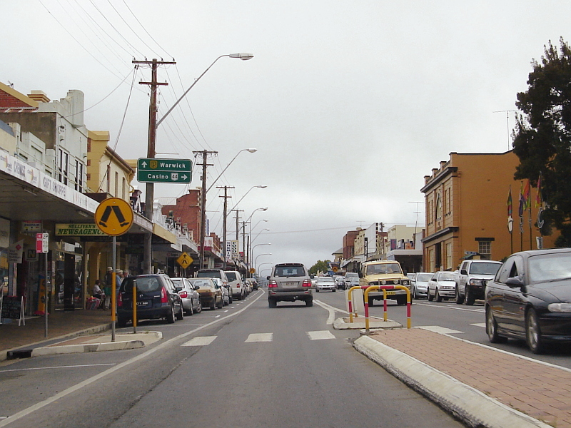
New England Highway Tenterfield: This is Northbound on NH15 at Tenterfield. March 2006. Image © Paul Rands |
|||
 |
Reassurance Directional Sign: Distance sign at Tenterfield, December 2002. Image © Michael Greenslade |
|||
 |
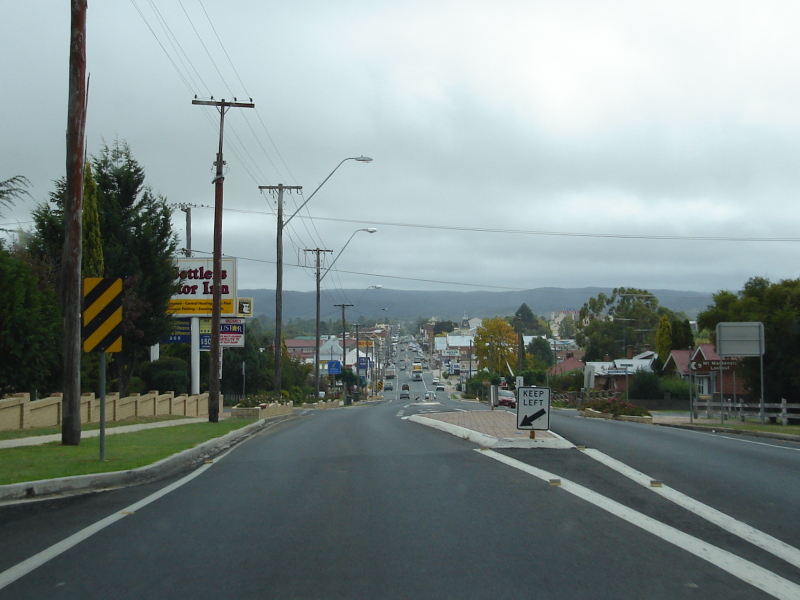
Load Restriction Sign: Sign showing load requirements for the roadway beyond the sign. Northbound at Tenterfield. March 2006. Image © Paul Rands |
|||
 |
AD Sign for Bruxner Highway Turn Off: Sign indicating the Bruxner Highway splitting from the New England Highway. March 2006, northbound at Tenterfield. Image © Paul Rands |
|||
 |
Bruxner Highway Junction: Northbound as you pass the turn for the Bruxner Hwy at Tenterfield. March 2006. Image © Paul Rands |
|||
 |
Entering Jennings: Entering the town of Jennings (NSW) as you pass an QLD agricultural department sign, March 2006. Image © Paul Rands |
|||
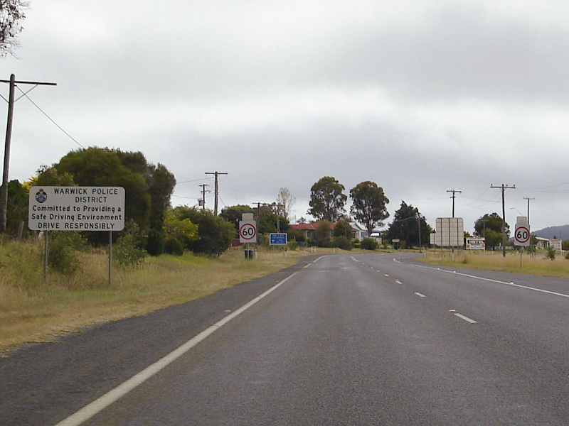 |
Police District Sign: Sign indicating that motorists are entering the Warwick Police District, Jennings (NSW), March 2006. Image © Paul Rands |
|||
| Click here for the continuation of National Highway 15 in Queensland Click here for the continuation of National 15 between Deepwater and Guyra |
||||
1 National Library of Australia
2 Roads and Traffic Authority
3 Department of Infrastructure, Transport, Regional Development and Local Government
Last updated: 18-Oct-2021 1:13
This site © Paul Rands. All rights reserved. Some portions © (copyright) by their respective and credited owners. Permission must be obtained before using any images from this site. For details, please email by clicking here.