|
|
|
|
|
| B55 | Castlereagh Highway (B55) |
Statistics:
Route Numbering:


General Information:
Castlereagh Highway is a significant highway link in the New South Wales road network, linking towns west of the Great Dividing Range (such as Lithgow) to the central west of the state and eventually to Queensland. The highway is named after the Castlereagh River, which runs parallel with the highway.
The Castlereagh Highway is predominantly a 2-lane road, with sealed shoulders and occasional auxiliary lanes provided for overtaking. The speed limit is generally 100km/h, with lower speed limits in place in built up areas. Between Mudgee and Gulgong, the 2002 Annual Average Daily Traffic volume (AADT) was around 3,000 axle pairs. 2
Multiplexes along the route include:
History:

| Marrangaroo to Queensland Border | Queensland Border to Marrangaroo | |||
| Preview: | Description: | Preview: | Description: | |
 |
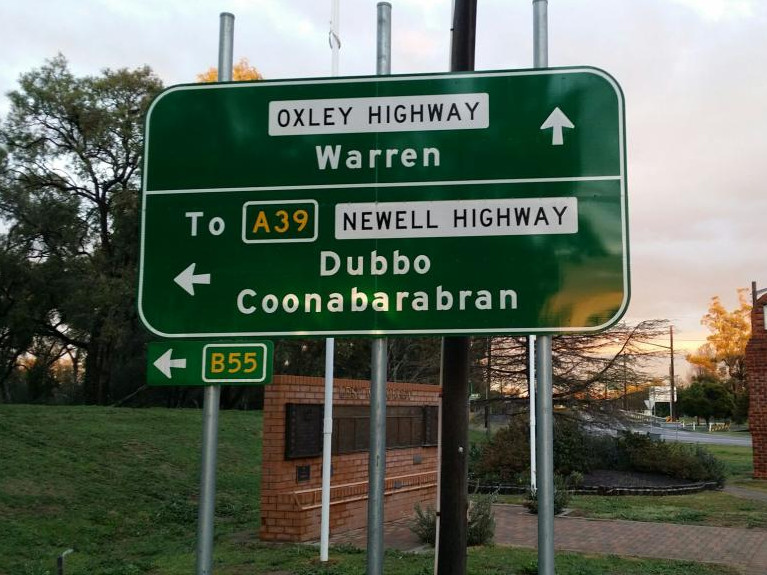
Intersection Directional Sign: ID sign at the corner Castlereagh Hwy (B55) and Newell Hwy (A39) at Gilgandra, January 2014. The A39 duplex begins here and B55 turns left at this location. Image © Michael Greenslade |
 |
Advance Directional Sign: AD sign on Bill O'Brien Way approaching Castlereagh Hwy (B55) at Lightning Ridge, October 2005. Image © Paul Rands |
|
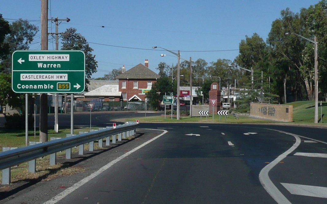 |
Advance Directional Sign: AD sign at Gilgandra approaching Oxley Hwy, January 2014. Image © Michael Greenslade |
 |
Intersection
Directional Sign: ID signs facing Bill O'Brien Way at Lightning Ridge, October 2005. Image © Paul Rands |
|
 |
Advance
Directional Sign: AD sign on Castlereagh Hwy (B55) at Coonamble approaching King St, November 2012. Image © Paul Rands |
 |
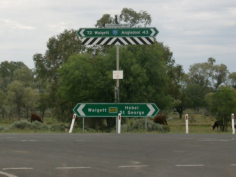
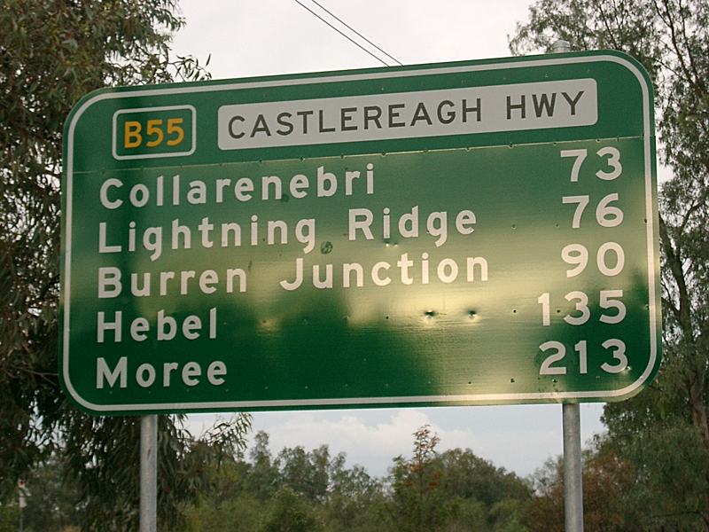
Distance
Sign: RD sign as the Castlereagh Hwy (B55) leaves Lightning Ridge, July 2009. Image © Richard Wardle |
|
 |
Advance
Directional Sign: AD sign on Kamilaroi Hwy (B76) approaching Castlereagh Hwy (B55) and Wee Waa St at Walgett, July 2009. The B76 duplex starts at this junction and turns left. Image © Richard Wardle |
 |
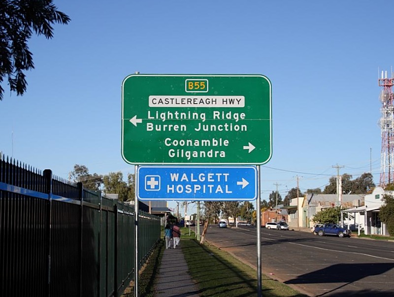
Intersection
Directional Sign: ID sign facing King St in Coonamble, November 2012. Image © Paul Rands |
|
 |
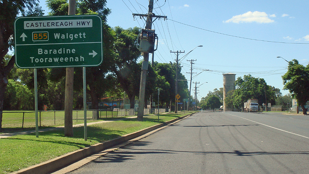
Distance
Sign: RD sign on the B76 / B55 duplex at Walgett, August 2014. Click here for a photo from October 2010 of the previous sign. Image © Ed Huang |
 |
Advance Directional Sign: AD sign on Castlereagh Hwy (B55) approaching the Newell Hwy (A39) and the unnumbered section of Oxley Hwy at Gilgandra. August 2014. The A39 duplex begins at this junction. Image © Ed Huang |
|
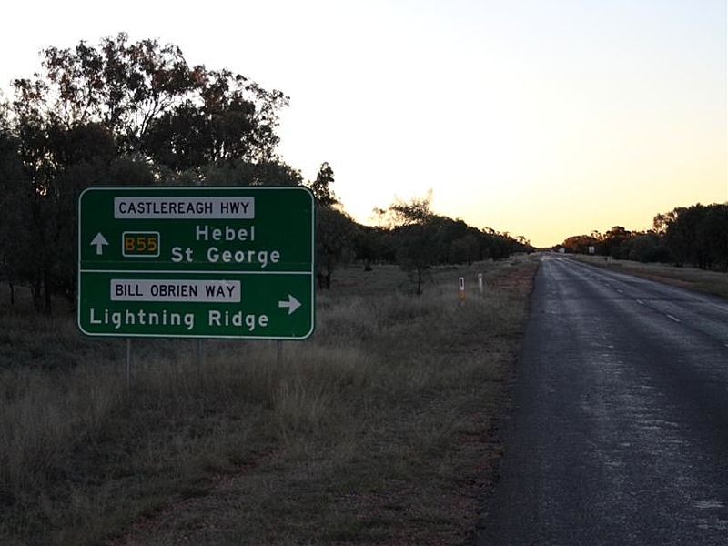 |
Advance Directional Sign: AD sign on Castlereagh Hwy (B55) approaching Bill O'Brien Way at Lightning Ridge, July 2009. Image © Richard Wardle |
 |
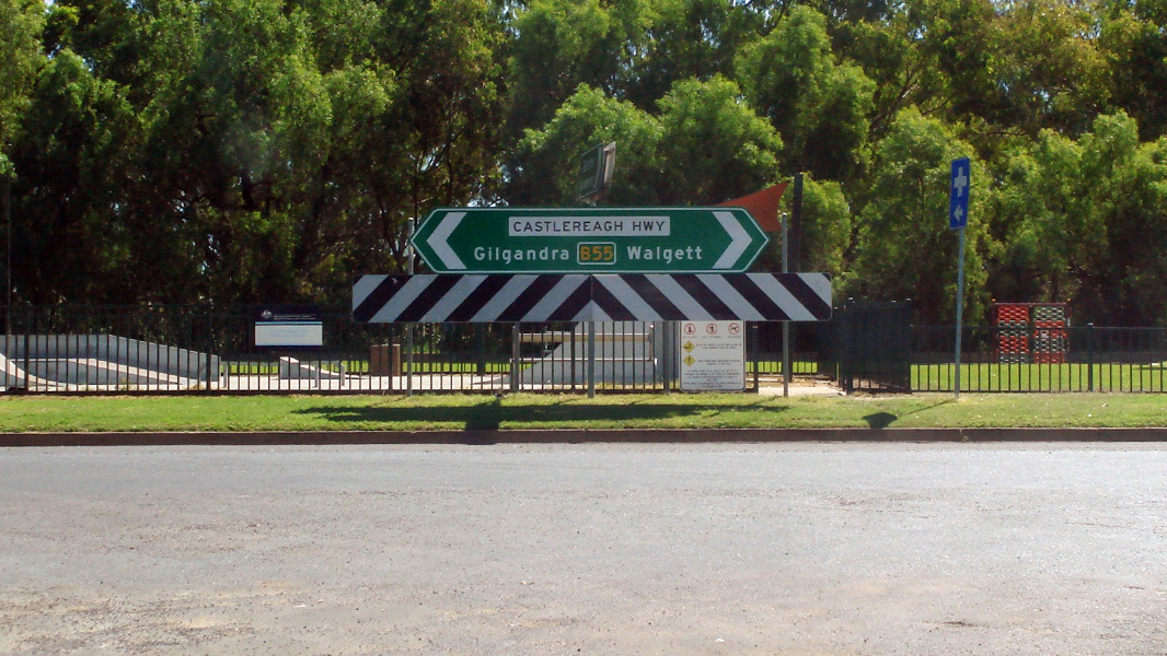
Advance Directional Sign: AD sign at Gilgandra on the A39 / B55 duplex at Gilgandra, January 2014. The A39 duplex ends at this junction. Image © Michael Greenslade |
|
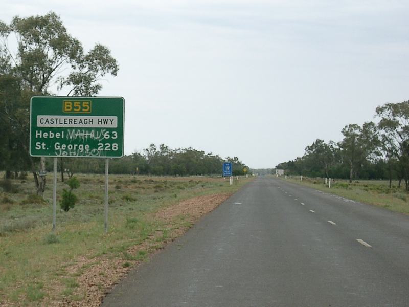 |
Distance
Sign: RD sign as the Castlereagh Hwy (B55) leaves Lightning Ridge, October 2005. Image © Paul Rands |
 |
Reassurance Directional Sign: Distance sign at Gilgandra, January 2014. Image © Michael Greenslade |
|
 |
Distance Sign: Reassurance directional sign near Ilford, December 2016. Image © Spenser Tan |
|||
 |
Advance Directional Sign: AD sign at Ilford approaching Sofala Rd (TD4), December 2016. Image © Spenser Tan |
|||
| Click here for the continuation of Castlereagh Highway as A55 in Queensland | ||||
1 Roads &
Traffic Authority
2 Department of Main Roads, The
Roadmakers, A History of Main Roads in New South Wales, ISBN 0 7240 0439 4
3 NSW Department of Planning, taken
from the Sinclair Knight Merz report on the Moolarben Coal Project
4 Mid Western Regional Council
Last updated: 23-Dec-2019 9:59
This site © Paul Rands. All rights reserved. Some portions © (copyright) by their respective and credited owners. Permission must be obtained before using any images from this site. For details, please email by clicking here.