|
|
|
|
|
Goondiwindi, an attractive town is set on the banks of the Macintyre River, of which is also the NSW/QLD border was settled in the late 1830's when sheep runs were established on each side of the river. The town is situated at the junction of the Newell, Leichardt, Cunningham, Gore (20 km north), and Barwon Highways, so as expected, it serves as an important centre for travellers. In addition, it is the centre of a wide farming district since the nearest town of significance is more than 100 km away. Nevertheless, the town is well looked after, has a colourful and busy town centre with a number of impressive parks that abut the Macintyre River.
 , Cunningham Hwy
  , and Barwon Hwy
 | Preview: | Description: |
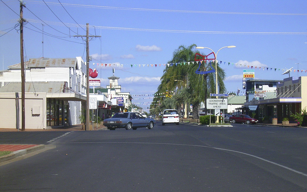 |
Goondiwindi Business Centre: Marshall Street, Goondiwindi, January 2003. Image © Michael Greenslade |
 |
Goondiwindi Business Centre: Marshall Street, heading east in Goondiwindi, January 2003. Image © Michael Greenslade |
 |
Goondiwindi Business Centre: Marshall Street, again looking east in Goondiwindi, January 2004. Image © Michael Greenslade |
 |
Goondiwindi Business Centre: Marshall Street, again looking east in Goondiwindi, January 2004. Image © Michael Greenslade |
 |
Macintyre River: View of the Macintyre River at Goondiwindi, January 2003. Image © Michael Greenslade |
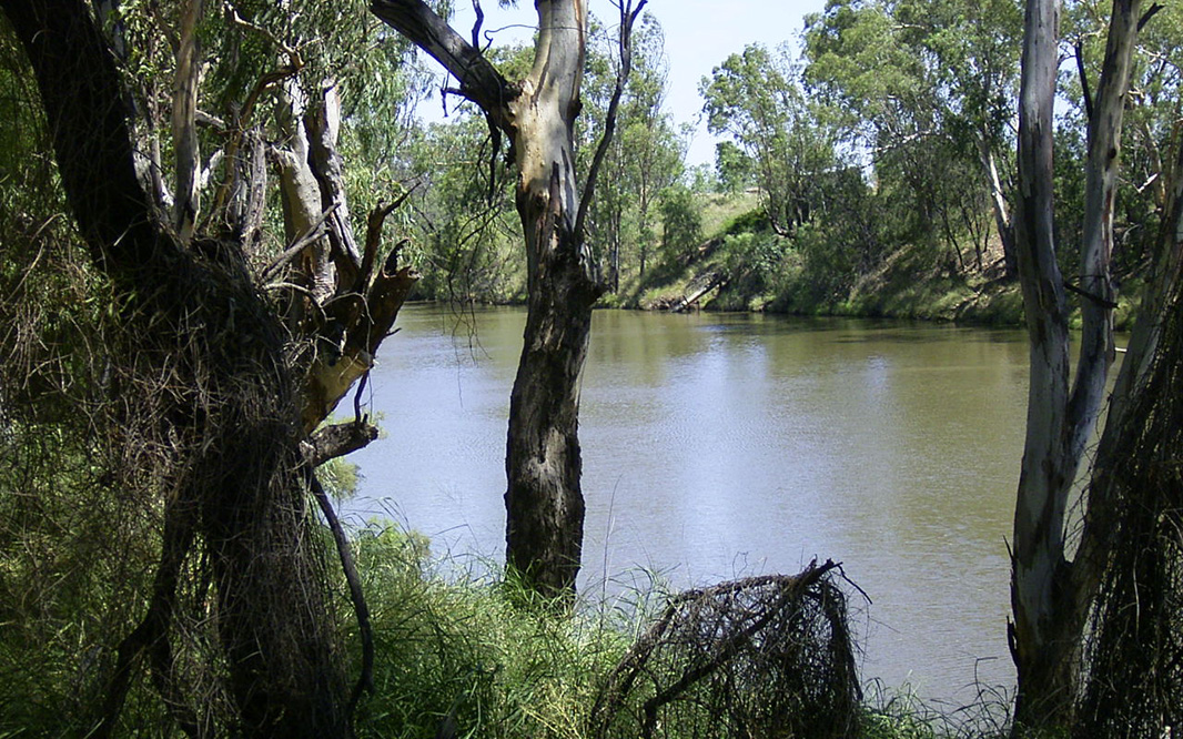 |
Macintyre River: View of the Macintyre River at Goondiwindi, January 2003. Image © Michael Greenslade |
1 Australian Bureau of Statistics, 2016 Census Quickstats, Goondiwindi UCL
Last updated: 28-Oct-2021 14:41
This site © Paul Rands. All rights reserved. Some portions © (copyright) by their respective and credited owners. Permission must be obtained before using any images from this site. For details, please email by clicking here.