|
|
|
|
|
Wollongong is NSW's third largest city and is set amongst spectacular scenery and is located in an immaculate position of being wedged between mountains and the coast. While the local beaches and Lake Illawarra are excellent for surfing, swimming and fishing, the main industry in the city is the Port Kembla steel works, which dominates the city skyline. Mt Keira lookout and Sublime Point lookout offer amazing views of the city.
The Illawarra, where Wollongong is situated is made up of two seperate local government areas and little differentiation is given between the two in general conversation or the media. The area features a very strong multicutural background, with many migrants flocking to the area during the early to mid-20th century to work at the steelworks, coal mines and related industries.
Wollongong offers a number of popular tourist attractions including an almost continuous chain of surf beaches and the cliffline of the rainforest-covered Illawarra escarpment. Plus the Jamberoo Adventure Park, Nan Tien Buddhist Temple.
The area was originally inhabited by the Dharawal Indigenous Australians. The first Europeans to visit the area were the navigators George Bass and Matthew Flinders, who landed at Lake Illawarra in 1796. The first settlers in the region were cedar cutters in the early 19th century, followed by graziers in 1812. The name "Wollongong" is believed to mean "seas of the South" in the local Aboriginal language, Dharawal. Other meanings have been suggested, such as "great feast of fish", "hard ground near water", "song of the sea", "sound of the waves", "many snakes" and "five islands".
| Preview: | Description: |
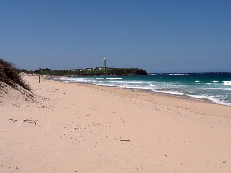 |
City Beach: View of City Beach, Wollongong, December 2013. Image © Michael Greenslade |
 |
City Beach: View of City Beach, Wollongong, December 2013. Image © Michael Greenslade |
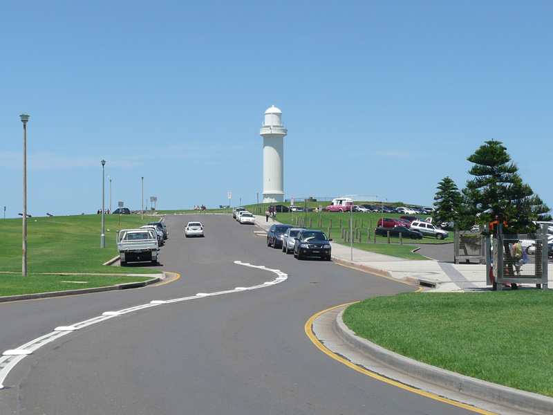 |
Wollongong Head Lighthouse: View of Wollongong Head Lighthouse on Flagstaff Point, December 2013. Image © Michael Greenslade |
 |
Marine Drive: Looking north along Marine Dr, Wollongong, December 2013. Image © Michael Greenslade |
 |
Wollongong Harbour: View over Wollongong Harbour with Mount Keira in the distance, December 2013. Image © Michael Greenslade |
 |
Steelers Club: View of the Steelers Club adjacent to Wollongong Showground (WIN Stadium) at the corner of Harbour St and Burelli St, December 2013. The local NRL football team was the Illawarra Steelers between 1980 and 1998 when they merged with the St George Dragons, forming the St George Illawarra Dragons. Howver the Steelers team name still exists in the local football scene. Image © Michael Greenslade |
 |
Wollongong: View of Wollongong and surrounding suburbs from Mount Nebo, April 2011. Image © Paul Rands |
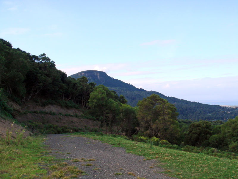 |
Mount Brisbane: View of the Illawarra Escarpment towards Mt Brisbane from Mt Nebo, April 2011. Image © Paul Rands |
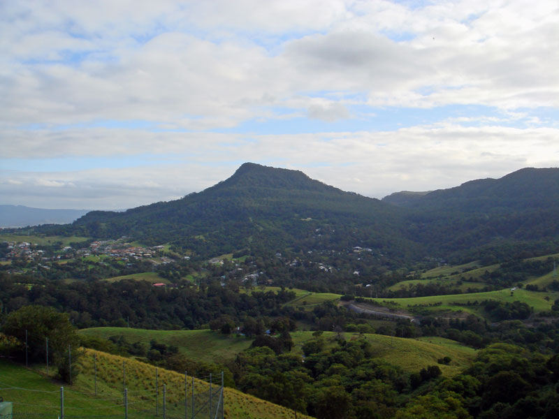 |
Mount Kembla: View of the Illawarra Escarpment towards Mt Kembla from Mt Nebo, April 2011. Image © Paul Rands |
1 Australian Bureau of Statistics, 2016 Census QuickStats
Last updated: 21-Aug-2020 23:20
This site © Paul Rands. All rights reserved. Some portions © (copyright) by their respective and credited owners. Permission must be obtained before using any images from this site. For details, please email by clicking here.