|
|
|
|
|
Wellington is an attractive town on the Mitchell Highway at the junction of the Macquarie & Bell rivers. The town serves the local agricultural and pastoral industries and also boasts a picturesque main street, various historic buildings and the Wellington Caves 10km south of the town.
The town is surrounded by several mountain ranges, including Mount Arthur, Mount Duke (553 m ASL) and Mount Nanima (436 m ASL).
| Preview: | Description: |
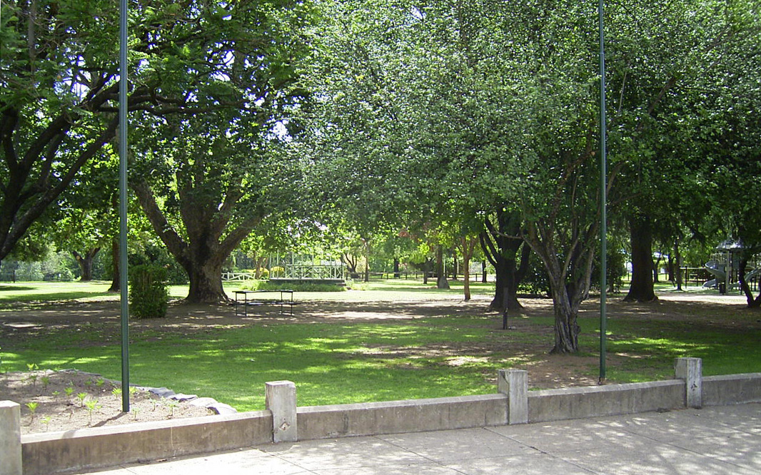 |
Cameron Park: View of Cameron Park on Mitchell Hwy at Wellington, December 2002. Image © Michael Greenslade |
 |
Wellington: View over Wellington and Bushrangers Creek from Mount Arthur, December 2002. Image © Michael Greenslade |

|
macquarie River: Mitchell Hwy (A32) as it crosses Macquarie River at Wellington, June 2003. On the 6 January 1989, the previous bridge collapsed into the river after a collision on the bridge involving a truck carrying heavy excavation equipment. In December 1991, the new bridge over Macquarie River opened to traffic. 2 Image © Michael Greenslade |

|
Wellington CBD: Mitchell Hwy (A32) (Lee St) as it passes through the Wellington town centre, June 2003. Image © Michael Greenslade |

|
Wellington CBD: Mitchell Hwy (A32) (Nanima Cr) as it passes through the Wellington town centre, June 2003. Click here for a photo of this location by Michael Greenslade from December 2002. Image © Michael Greenslade |
1
Bureau of Statistics, 2016 Census QuickStats
2 ABC Western Plains, 30 Years Since
Wellington Bridge Collapse, 6 January 2019
Last updated: 27-Oct-2021 14:17
This site © Paul Rands. All rights reserved. Some portions © (copyright) by their respective and credited owners. Permission must be obtained before using any images from this site. For details, please email by clicking here.