|
|
|
|
|
Tenterfield is located in northern NSW and lies at the junction of the Bruxner and New England Highways. It is set in perhaps one of the most beautiful locations of NSW, the town surrounded by large tree covered mountains and in the green, rich and fertile valley. The town was surveyed in 1851, and became an important telegraph office between Sydney and Brisbane. The name originates from a Scottish property, named from the first squatters that occupied the area. Various national parks are accessible from Tenterfield - Girraween Nat Pk is home to the largest granite monolith in the Southern Hemisphere, and also Boonoo Boonoo where a spectacular waterfall drops 250 m. The town centre is very colourful, lined with many shops with an undulating main street, with many side streets and the northern entry lined with a variety of deciduous trees.
| Preview: | Description: |
 |
Bluff Rock: Bluff Rock outside of Tenterfield, December 2002. Image © Michael Greenslade |
 |
Tenterfield: Looking north along Rouse Street (New England Highway) in Tenterfield, December 2002. Image © Michael Greenslade |
 |
Tenterfield Town Centre: Looking south along Rouse Street (New England Highway) in Tenterfield, December 2002. Image © Michael Greenslade |
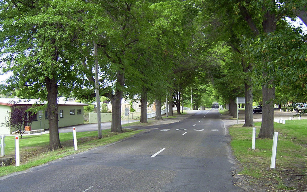 |
Treelined Highway: Eastern entrance to Tenterfield along the Bruxner Highway, December 2002. Image © Michael Greenslade |
1 Australian Bureau of Statistics, 2016 Census Quickstats, Tenterfield (UCL)
Last updated: 27-Oct-2021 13:19
This site © Paul Rands. All rights reserved. Some portions © (copyright) by their respective and credited owners. Permission must be obtained before using any images from this site. For details, please email by clicking here.