|
|
|
|
|
Raymond Terrace, a large town just north of Newcastle, lies just off the Pacific Highway and set against the Hunter River.
Established in 1823, the town grew around the local timber, cattle, wool, wheat industries and from the port established on the Hunter River. Although the town declined moderately once shipping traffic on the Hunter River was diverted due to the river silting, new industries in the area such as the Williamtown RAAF base, the Tomago aluminium smelter and the Pacific Highway passing through ensured the town's survival.
Nowadays Raymond Terrace is the administrative centre of the Port Stephens Council and essentially acts as a satellite centre to Newcastle with much of its population working in the larger city or the surrounding region. The town is set in a pleasant and peaceful surrounding with several historic buildings standing, botanic gardens to the south and other standout parkland abutting the Hunter River.
The town name originates from a member of Lieutenant John Shortland's party called Raymond who described the terraced appearance of the trees where the town now stands.
| Preview: | Description: |

|
Entering Raymond Terrace: Northbound on Adelaide St (former Pacific Hwy) as it enters the town of Raymond Terrace, 2009. Image © Jamie Scuglia |
|
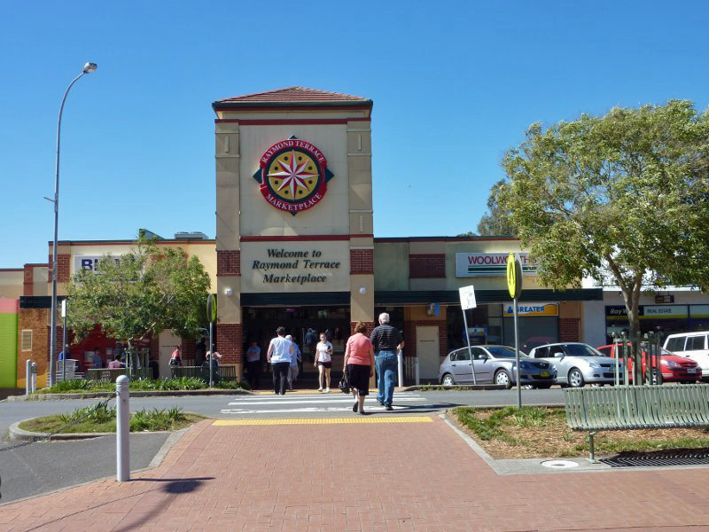
Raymond Terrace Marketplace: The main shopping centre, Raymond Terrace Marketplace, 2009. Image © Jamie Scuglia |

|
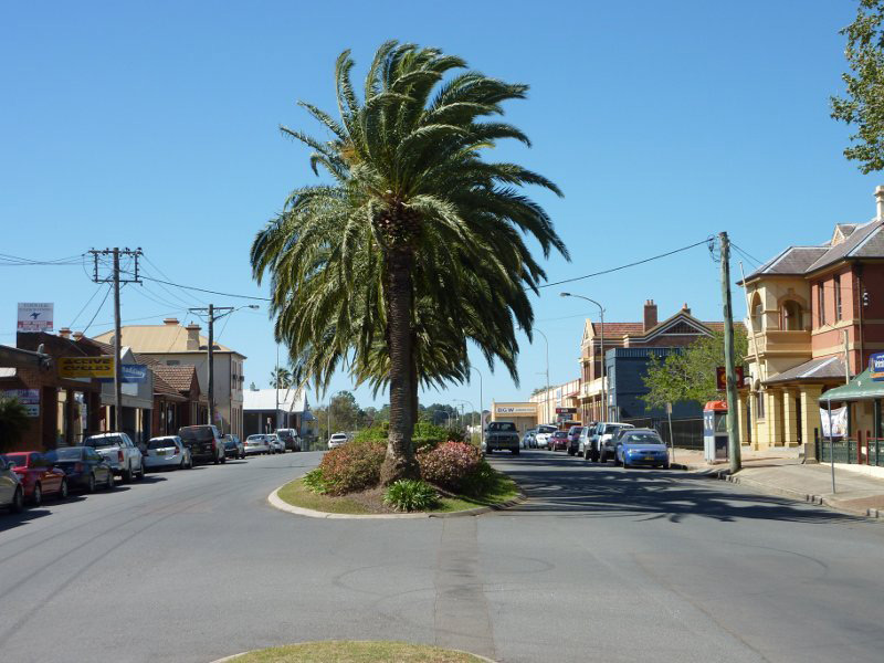
William Street: Raymond Terrace CBD, 2009. Image © Jamie Scuglia |
 |
William Street: Raymond Terrace CBD, December 2013. Image © Michael Greenslade |

|
Rotary Clock Tower: The Rotary clock tower at the corner of William St and Port Stephens St in Raymond Terrace, 2009. Image © Jamie Scuglia |

|
Corner of William Street & Port
Stephens Street: View of the Rotary clock tower and NAB in Raymond Terrace, 2009. Image © Jamie Scuglia |

|
Port Stephens Street: The main street of the Raymond Terrace CBD, 2009. Image © Jamie Scuglia |
|
Port Stephens Street: The main street of the Raymond Terrace CBD, 2009. Image © Jamie Scuglia |

|
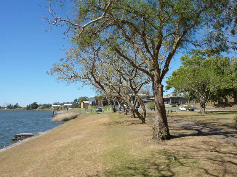
Hunter River: View of the Hunter River from Riverside Park, Raymond Terrace, 2009. Image © Jamie Scuglia |
|
Hunter River: View of the Hunter River from Riverside Park, Raymond Terrace, 2009. Image © Jamie Scuglia |
|
Hunter River: View of the Hunter River from Riverside Park, Raymond Terrace, 2009. Image © Jamie Scuglia |

|
Riverside Park: Rotunda in Riverside Park at Raymond Terrace, 2009. Image © Jamie Scuglia |
|
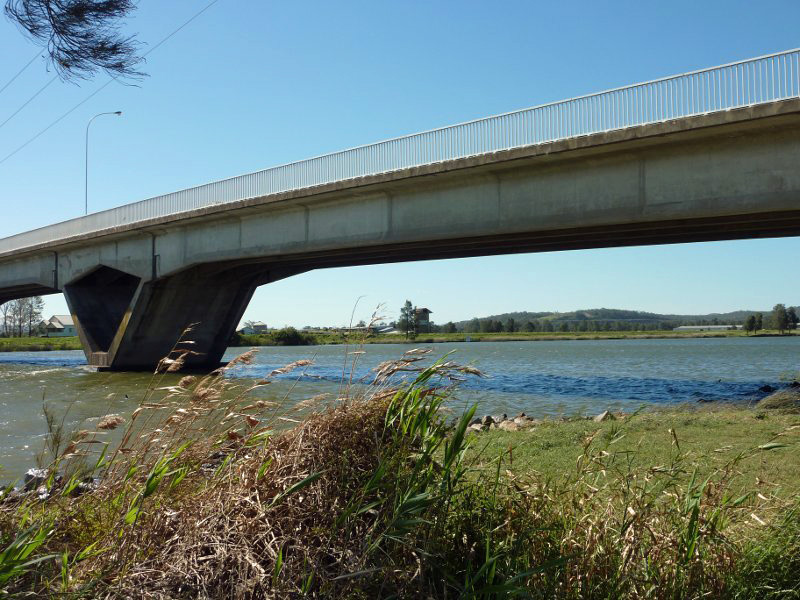
Seaham Road: Seaham Road as it crosses the Hunter River at Raymond Terrace, 2009. Image © Jamie Scuglia |

|
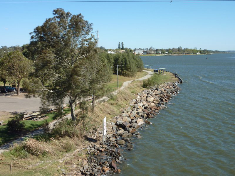
Hunter River: Hunter River viewed from the Seaham Road bridge, 2009. Image © Jamie Scuglia |

|
Hunter River: Hunter River viewed from the Seaham Road bridge, 2009. Image © Jamie Scuglia |

|
Finnan Park: View of Finnan Park on the shores of the Grahamstown Dam at Raymond Terrace, 2009. Image © Jamie Scuglia |

|
Grahamstown Dam: View of Grahamstown Dam from Finnan Park, Raymond Terrace, 2009. Image © Jamie Scuglia |
1 Australian Bureau of Statistics, 2016 Census QuickStats
Last updated: 21-Aug-2020 23:47
This site © Paul Rands. All rights reserved. Some portions © (copyright) by their respective and credited owners. Permission must be obtained before using any images from this site. For details, please email by clicking here.