|
|
|
|
|
Narooma is a holiday resorty town, located on the Princes Hwy between Bega and Batemans Bay. The scenery around the town is superb - includes a spectacular inlet, safe beaches and the mountain ranges to the west. In the area, Wagonga Inlet is excellent for cruises, Glasshouse Rocks, just south of the town is an interesting natural rock outcrop, and Montague Island lies about 10 km out to sea.
| Preview: | Description: |
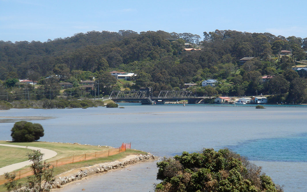 |
Wagonga Inlet: View over Wagonga Inlet at Narooma, November 2009. Image © Paul Rands |
 |
Wagonga Inlet: View over Wagonga Inlet at Narooma, November 2009. Image © Paul Rands |
1 Australian Bureau of Statistics, Census Quickstats 2016, Narooma SSC
Last updated: 21-Aug-2020 20:54
This site © Paul Rands. All rights reserved. Some portions © (copyright) by their respective and credited owners. Permission must be obtained before using any images from this site. For details, please email by clicking here.