|
|
|
|
|
Mullumbimby is located in the Northern Rivers region of New South Wales at the base of Mt Chincogan, the town was established by European settlers in the mid 1800s. The area was originally a timber gathering town.
The name "Mullumbimby" means "small round hill", was given to the district by Aboriginal people. The town features the Brunswick River flowing through it plus it is the home of the Byron Bay Shire Council and once had its own hydroelectric power generation site.
| Preview: | Description: |
 |
Mullumbimby Town Centre: Corner of Burringbar St and Stuart St, November 2013. Image © Michael Greenslade |
 |
Mullumbimby Town Centre: Burringbar St, November 2013. Image © Michael Greenslade |
 |
Mullumbimby Town Centre: Corner of Burringbar St and Station St, November 2013. Image © Michael Greenslade |
 |
Mullumbimby Town Centre: Dalley St, November 2013. Image © Michael Greenslade |
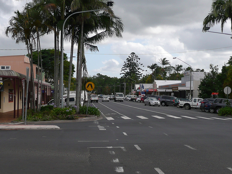 |
Mullumbimby Town Centre: Dalley St, November 2013. Image © Michael Greenslade |
1 Australian Bureau of Statistics, Mullumbimby (State Suburb), 2016 Census QuickStats
Last updated: 31-Jul-2020 23:10
This site © Paul Rands. All rights reserved. Some portions © (copyright) by their respective and credited owners. Permission must be obtained before using any images from this site. For details, please email by clicking here.