|
|
|
|
|
Moree is situated in central northern New South Wales on the Newell and Gwydir highways and against the Mehi River.
The town was established in the early 1860's to serve the growing pastoral runs in the area. While Moree is mainly a centre for the surrounding wheat and wool industries, it is also well known for its artesian spa baths and is an important stop for motorists due to its key geographical position. The main street has abuts a series of parks along the Mehi River. Being in such a flat area, the town's silo's dominate the skyline for several kilometres.
The towns name is of Aboriginal origin, meaning "long waterhole".
| Preview: | Description: |
 |
Balo Street: Moree town centre, January 2004. Image © Michael Greenslade |
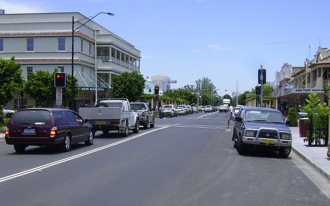 |
Balo Street: Moree town centre, January 2004. Image © Michael Greenslade |
 |
Balo Street: Moree town centre, January 2004. Image © Michael Greenslade |
 |
Balo Street: Balo St near Gwydir St, Moree, January 2004. Image © Michael Greenslade |
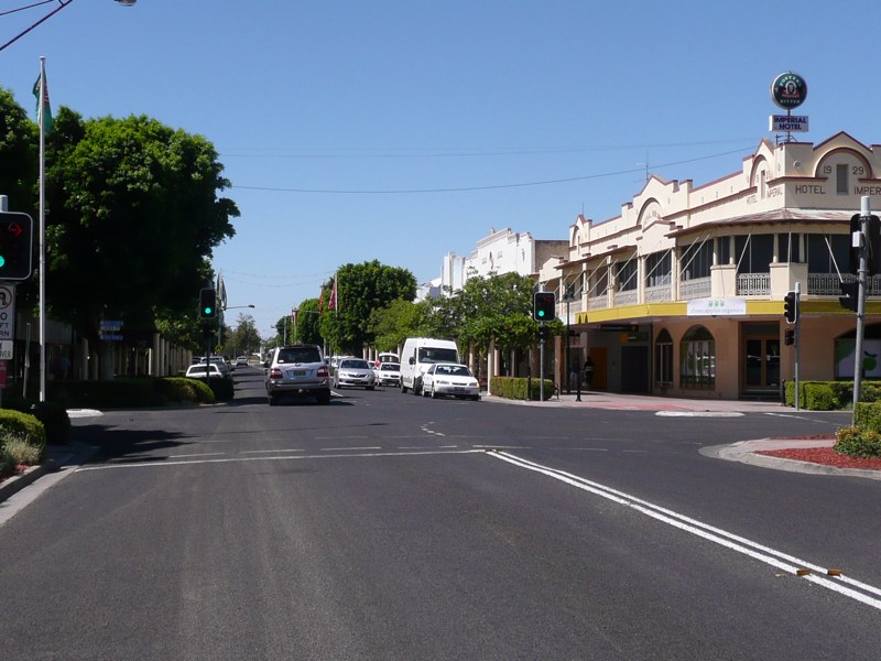 |
Moree Town Centre: Corner of Balo Street and Heber Street in Moree, January 2014. Image © Michael Greenslade |
 |
Moree Town Centre: Balo Street in Moree, January 2014. Image © Michael Greenslade |
 |
Moree Town Centre: Heber Street in Moree, January 2014. Image © Michael Greenslade |
1 Australian Bureau of Statistics, 2016 Census QuickStats
Last updated: 10-Dec-2020 11:35
This site © Paul Rands. All rights reserved. Some portions © (copyright) by their respective and credited owners. Permission must be obtained before using any images from this site. For details, please email by clicking here.