|
|
|
|
|
Molong lies on the Mitchell Highway between Orange and Dubbo nestled in a small valley.
Filled with a number of historic buildings, it is a popular place to stop for lunch on longer trips, with several cafés, bakeries, etc. There's a number of facilities including local hospital, parks, and recreation ground. The main shopping area is off the Mitchell Highway and offers respite from the large volumes of trucks that pass through the area.
The name Molong comes from the Aboriginal word for 'all rocks'.
| Preview: | Description: |
 |
Molong Town Centre: Bank Street, Molong, December 2002. Image © Michael Greenslade |
 |
Molong Town Centre: Bank Street Molong, March 2003 Image © Michael Greenslade |
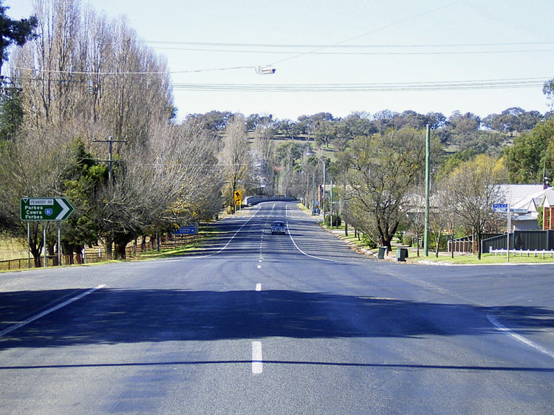 |
Molong: Mitchell Hwy (A32) as it passes through Molong, March 2003 Image © Michael Greenslade |
1 Australian Bureau of Statistics, 2016 Census QuickStats
Last updated: 27-Oct-2021 13:58
This site © Paul Rands. All rights reserved. Some portions © (copyright) by their respective and credited owners. Permission must be obtained before using any images from this site. For details, please email by clicking here.