|
|
|
|
|
Cowra, located at the junction of the Mid Western and Olympic Highways in central western New South Wales, lies on the banks of the Lachlan River and is the centre for the local crop growing and sheep industries.
The town was built in 1849 over the original Coura Rocks station, at the point where a natural crossing over the Lachlan River existed to service a major trade route between NSW and Victoria. Growth to the town occurred after the bridge over the Lachlan River was completed in 1870 and when the railway was pushed west from Bathurst. Cowra was also selected during WW2 to host a Japanese POW camp, of which ended in disaster when a mass breakout resulted in tragedy. Of interest around town are Bellevue Hill (great lookout), the Japanese Garden & Cultural Centre, the Kendal St shopping precinct, the POW camp ruins and the Avenue of Cherry Trees.
| Preview: | Description: |
 |
Cowra Town Centre: Looking south over Cowra from Bellvue Hill Lookout, March 2003. Image © Michael Greenslade |
 |
Cowra Town Centre: Looking west over Cowra from Bellvue Hill Lookout, March 2003. Image © Michael Greenslade |
 |
Lachlan Street: Lachlan St looking south at Cowra, March 2003. Image © Michael Greenslade |
 |
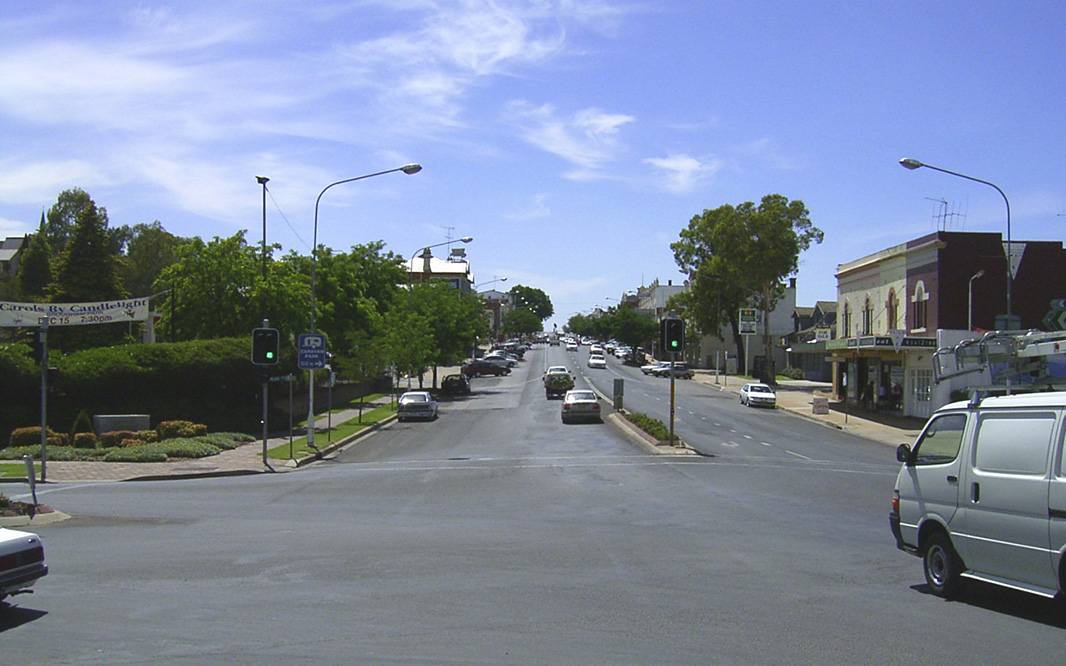
Cowra Town Centre: Mid Western Hwy (Kendal St) (A41) as it passes through the Cowra town centre, December 2002. Image © Michael Greenslade |
 |
Cowra Town Centre: Corner of Mid Western Hwy (Kendal St) (A41 / B81) and Lachlan St (B81) in the Cowra town centre, December 2002. Image © Michael Greenslade |
1 Australian Bureau of Statistics, 2016 Census QuickStats
Last updated: 27-Oct-2021 13:40
This site © Paul Rands. All rights reserved. Some portions © (copyright) by their respective and credited owners. Permission must be obtained before using any images from this site. For details, please email by clicking here.