|
|
|
|
|
Established in 1988, Greenway is the main urban centre for the Tuggeranong district. The name Tuggeranong is derived from a Ngunnawal expression meaning "cold place". 1 The suburb is named after the architect, Francis Greenway (1777–1837). It was gazetted on 17 October 1986. The streets are named after architects. 2
The town centre features, commercial, residential, light industrial and government offices and was originally planned to be the geographic centre of the district, but with government and planning changes, development beyond the Murrumbidgee River to the west of the town centre never eventuated. 3
Frderal government departments in Greenway include the Department of Social Services and Services Australia.
| Preview: | Description: |
 |
Greenway / Tuggeranong Town Centre: View of Greenway from the suburb of Oxley, March 2003. Note in the foreground, roadworks to duplicate Drakeford Dr. Nowadays, the view of Bunnings is obscured by residential development. Image © Michael Greenslade |
 |
Greenway / Tuggeranong Town Centre: View of Greenway from the suburb of Oxley, March 2003. In the foreground, Soward Way. Image © Michael Greenslade |
 |
Greenway / Tuggeranong Town Centre: View of Greenway from the suburb of Oxley, March 2003. In the centre, Reed Street North. Image © Michael Greenslade |
 |
Greenway / Tuggeranong Town Centre: View of Greenway from the suburb of Oxley, March 2003. Lake Tuggeranong College and the library are in the foreground, and Tuggeranong Hyperdome shopping centre (now called South.Point) in the background. Image © Michael Greenslade |
 |
Reed Street: Reed St passing under Soward Way at Greenway, April 2017. Image © Paul Rands |
 |
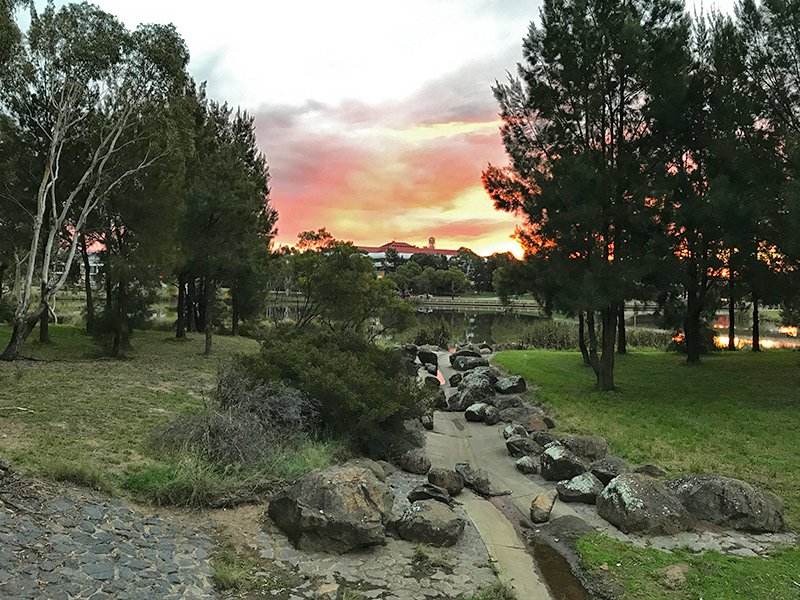
Lake Tuggeranong: Twilight at Lake Tuggeranong, Greenway, April 2017. Image © Paul Rands |
 |
Lake Tuggeranong: Twilight at Lake Tuggeranong, Greenway, April 2017. Image © Paul Rands |
 |
Lake Tuggeranong: Twilight at Lake Tuggeranong, Greenway, April 2017. Image © Paul Rands |
 |
Lake Shores: View of Lake Shores and Lake Tuggeranong, with the Tuggeranong town centre in the distance at Greenway, April 2017. Image © Paul Rands |
 |
Tuggeranong Town Centre: Lake Tuggeranong and the Tuggeranon town centre at Greenway, April 2017. Image © Paul Rands |
 |
Tuggeranong Town Centre: Lake Tuggeranong and the Tuggeranon town centre at Greenway, April 2017. Image © Paul Rands |
1 "Our School". Gowrie Primary School
2 Canberra's suburb and street names : origins and meanings. Department of the Environment, Land and Planning. 1992. p. 60. ISBN 1-86331-128-9
3 Archives ACT Research Guide Proposed Suburb Names in Tuggeranong 1975
4 Australian Bureau of Statistics, Greenway (State Suburb), 2016 Census QuickStats
Last updated: 27-Oct-2021 1:25
This site © Paul Rands. All rights reserved. Some portions © (copyright) by their respective and credited owners. Permission must be obtained before using any images from this site. For details, please email by clicking here.