|
|
|
|
|
| Shepperton Road, Kenwick Link & Albany Highway (State Route 30) - Kojonup To Albany |
Statistics:
Route Numbering:


 3
3General Information:
State Route 30 is a major route in Western Australia, linking Perth with the southern port town of Albany and passing through Western Australia's Great Southern region and its South West region. The route in the Perth metropolitan area and also in Albany is multi-laned, arterial road standard, with it changing outside these areas to 2-lane rural highway standard with occasional overtaking lanes.
The route has a handful of multiplexes along its length, these include:
History:
| Albany to Kojonup | Kojonup to Albany | |||
| Preview: | Description: | Preview: | Description: | |
 |
Intersection Directional Sign: ID sign facing Lowood Rd at the southern end, at Mt Barker, April 2018. Image © Paul Rands |
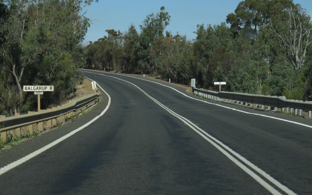 |
Balgarup River: Albany Hwy (SR30) crossing Balgarup River at Lumeah, April 2018. Image © Paul Rands |
|
 |
Oatlands Road: Corner of Albany Hwy (SR30) and Oatlands Rd (TD252) at Mount Barker, April 2018. Image © Paul Rands |
 |
Shamrock Road: Corner of Albany Hwy (SR30) and Shamrock Rd at Lumeah, April 2018. Image © Paul Rands |
|
 |
Fingerboard Assembly: Fingerboards facing Lowood Rd at Mt Barker, April 2011. Image © Peter Renshaw |
 |
Jingalup Road: Corner of Albany Hwy (SR30) and Jingalup Rd at Lumeah, April 2018. Image © Paul Rands |
|
 |
Fingerboard Assembly: Fingerboards facing Martagallup Rd at Kendenup, April 2016. Image © Paul Rands |
 |
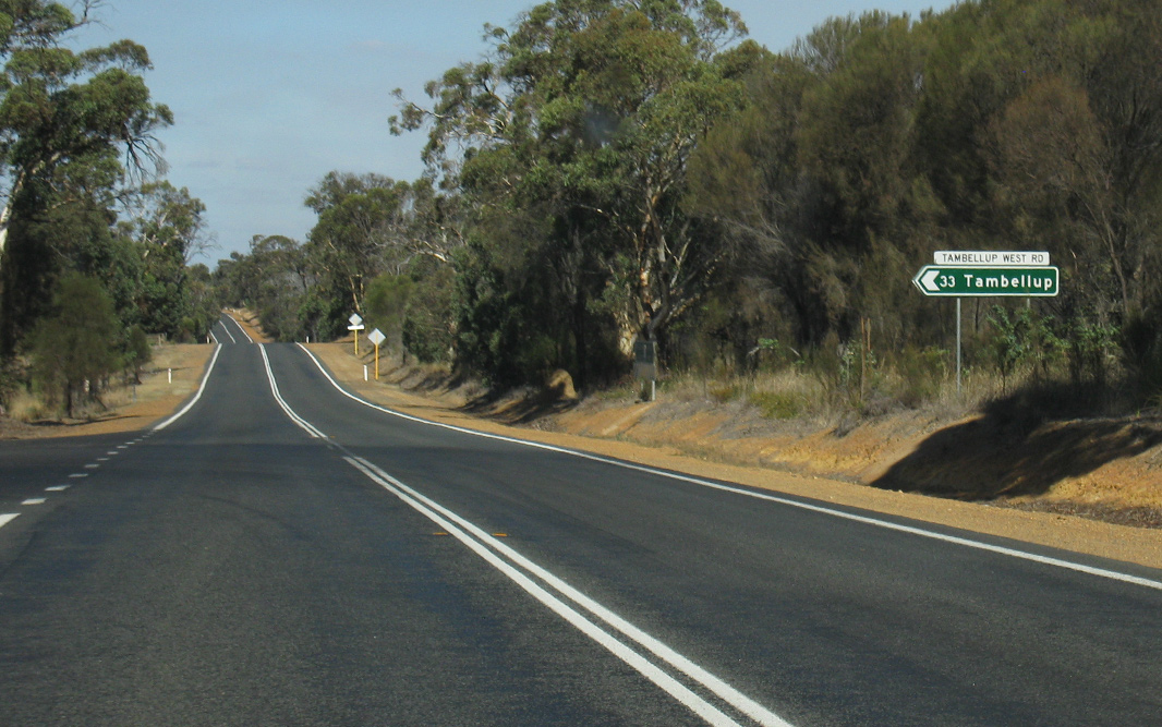
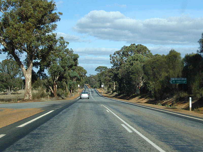
AD Sign: Advance directional sign approaching Tambellup West Rd at Lumeah. April 2018. Click here for a photo of this location by Paul Rands from May 2008. Image © Paul Rands |
|
 |
Potts-Tambellup Rd Intersection: Southbound as you drive through the Tambellup West Rd intersection at Lumeah. April 2018. Click here for a photo of this location by Paul Rands from May 2008. Image © Paul Rands |
|||
 |
Distance Sign: Southbound RD sign at Lumeah. April 2018. Click here for a photo of this location by Paul Rands from May 2008. Image © Paul Rands |
|||
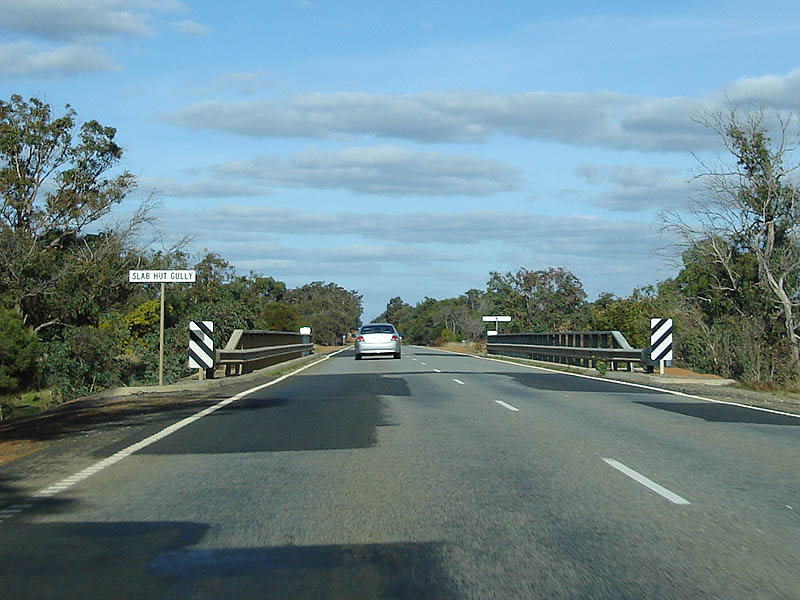 |
Slab Hut Gully: Southbound at Tunney as you cross Slab Hut Gully, April 2018. Click here for a photo of this location by Paul Rands from May 2008. Image © Paul Rands |
|||
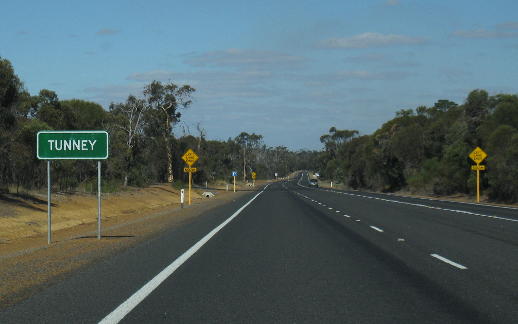 |
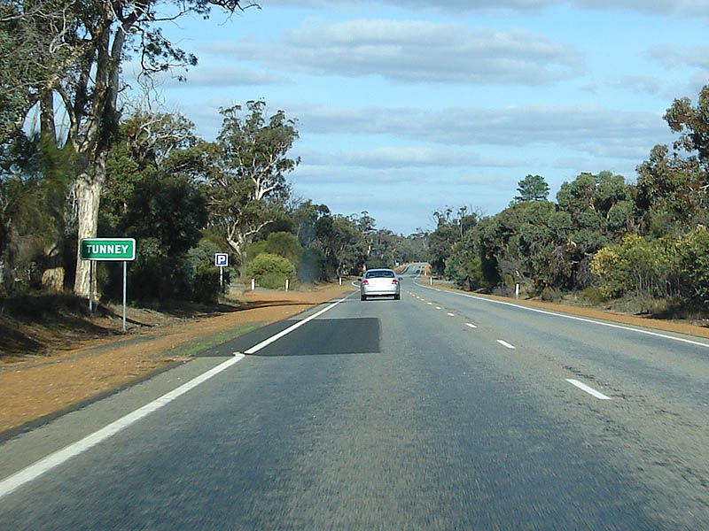
Tunney: Southbound as pass through the Tunney area, April 2018. Click here for a photo of this location by Paul Rands from May 2008. Image © Paul Rands |
|||
 |
Gordon River: Southbound at Cranbrook as the Albany Hwy crosses Gordon River. May 2008. Image © Paul Rands |
|||
 |
Services Sign: Southbound signage as get closer to the town of Cranbrook, May 2008. Image © Paul Rands |
|||
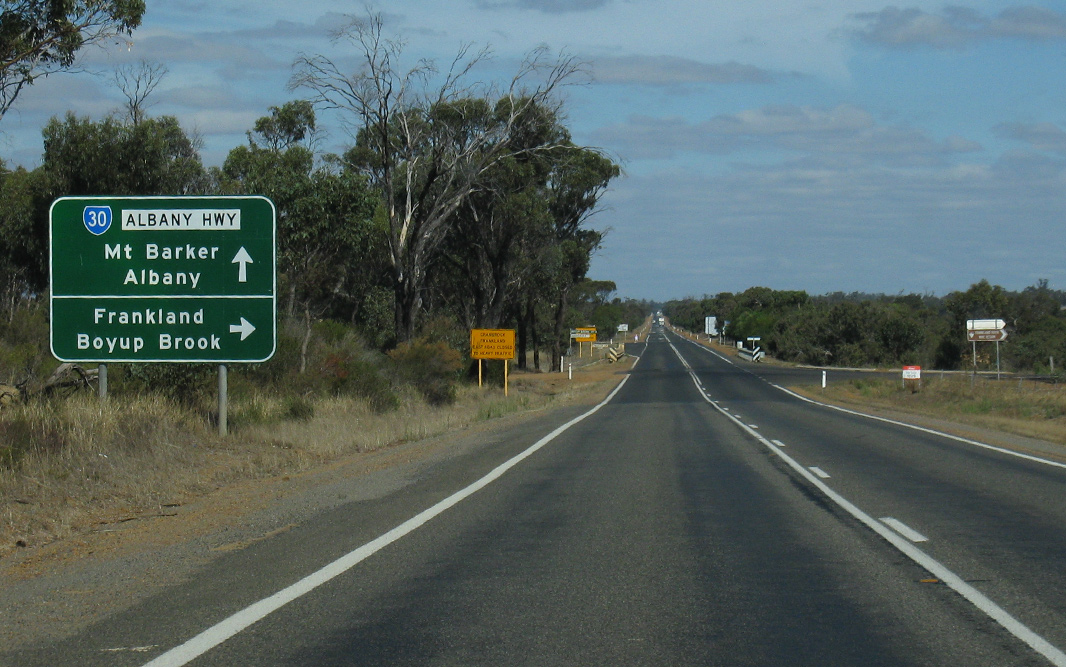 |
Advance Directional Sign: AD sig approaching the intersection with Cranbrook Rd (SR120) at Cranbrook, April 2018. Click here for a photo of this location by Peter Renshaw from April 2011. Image © Peter Renshaw |
|||
 |
Frankland-Cranbrook Road: Corner of Albany Hwy (SR30) and Frankland-Cranbrook Rd at Cranbrook, April 2018. Image © Paul Rands |
|||
 |
Pinjalup Creek: Southbound as the Albany Highway crosses Pinjalup Ck at Cranbrook, May 2008. Image © Paul Rands |
|||
 |
Intersection Directional Sign: Southbound ID sign on the corner of the Cranbrook Road and Albany Hwy at Cranbrook, April 2011. Image © Peter Renshaw |
|||
 |
Distance Sign: Southbound RD sign after the Cranbrook Rd junction at Cranbrook, April 2018. Click here for a photo of this location by Paul Rands from May 2008. Image © Paul Rands |
|||
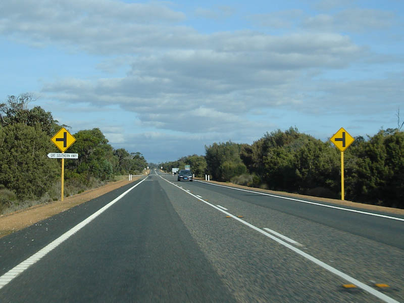 |
Approaching Great Southern Hwy: Southbound as you get closer to the intersection with Great Southern Hwy at Cranbrook, May 2008. Image © Paul Rands |
|||
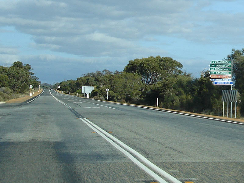 |
Fingerboard Signs: The signage assembly on the intersection with Great Southern Hwy at Cranbrook. May 2008. Image © Paul Rands |
|||
 |
Distance Sign: Southbound RD sign after the Great Southern Hwy junction near Cranbrook. April 2018. Click here for a photo of this location by Paul Rands from May 2008. Image © Paul Rands |
|||
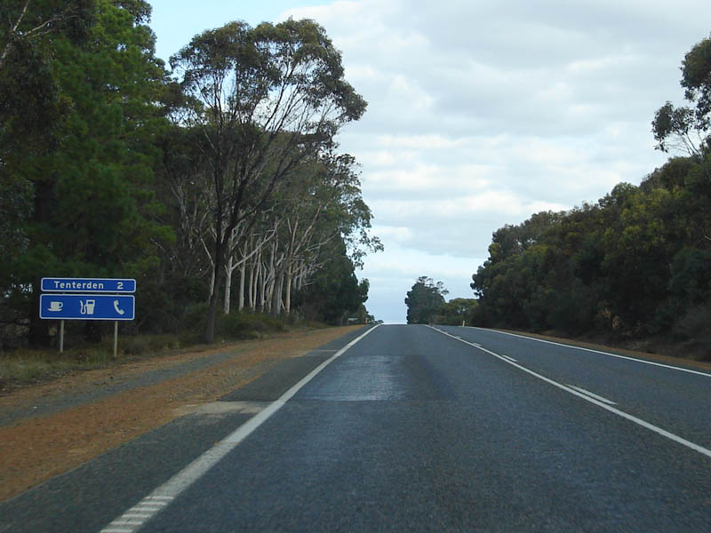 |
Services Sign: Southbound services sign near the town of Tenterden. May 2008. Image © Paul Rands |
|||
 |
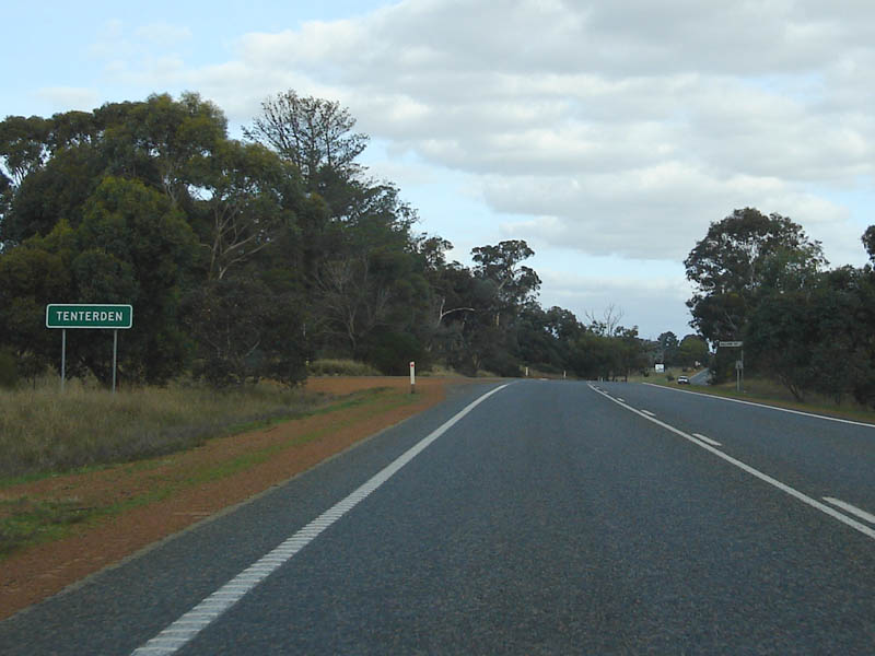
Entering Tenterden: Southbound as you enter the town of Tenterden near Ronald Shaw Road. April 2018. Click here for a photo of this location by Paul Rands from May 2008. Image © Paul Rands |
|||
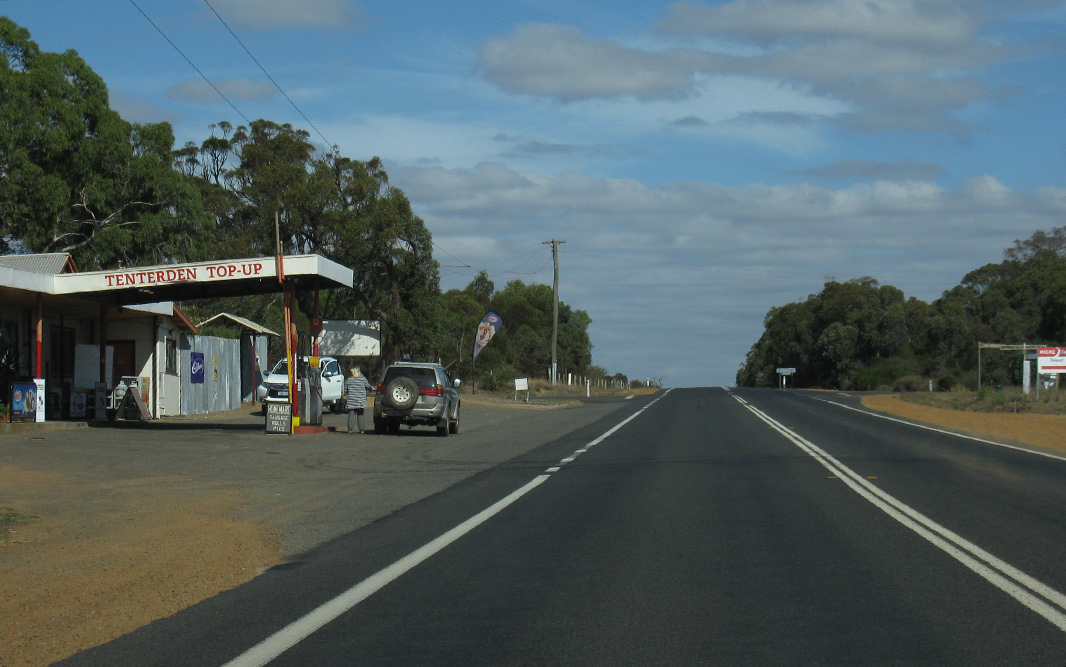 |
Tenterden: Travelling southbound through the town of Tenterden near Brooking St & Nunijup Rd, April 2018. Click here for a photo of this location by Paul Rands from May 2008. Image © Paul Rands |
|||
 |
Trailblazer: Southbound reassurance marker in the Tenterden area, April 2011. Image © Peter Renshaw |
|||
 |
Beverley Road: Corner of Albany Hwy (SR30) and Beverley Rd at Kendenup, April 2016. Image © Paul Rands |
|||
 |
Advance Directional Sign: Southbound at Kendenup as you approach Beverley Rd and Martagallup Rd at Kendenup. April 2011. Image © Peter Renshaw |
|||
 |
Martagallup Road: Corner of Albany Hwy (SR30) Martagallup Rd at Kendenup, April 2018. Image © Paul Rands |
|||
 |
Beverley Road: Corner of Albany Hwy (SR30) Beverley Rd at Kendenup, April 2018. Image © Paul Rands |
|||
 |
Advance Directional Sign: Southbound AD signage approaching the Muirs Hwy and Woogenellup Rd roundabout at Mt Barker, April 2011. This roundabout was constructed as part of the Mt Barker Northern Bypass project. Image © Peter Renshaw |
|||
 |
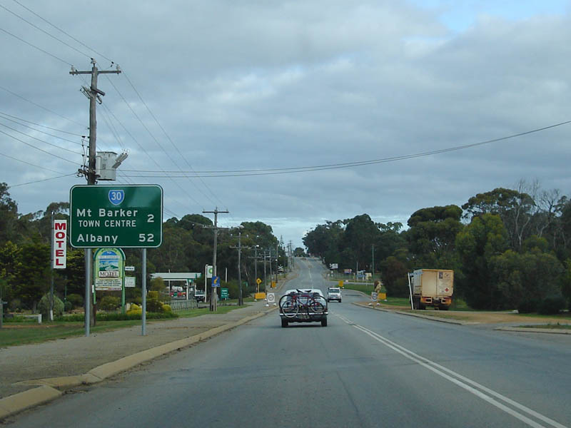
Muirs Hwy & Woogenellup Rd Roundabout: Albany Hwy (SR30) at the Muirs Hwy and Woogenellup Rd roundabout at Mt Barker, April 2016. Image © Paul Rands |
|||
 |
Muirs Hwy & Woogenellup Rd Roundabout: Southbound signage and exit from the Muirs Hwy and Woogenellup Rd roundabout at Mt Barker, May 2008. This roundabout was constructed as part of the Mt Barker Northern Bypass project. Image © Paul Rands |
|||
 |
Distance Sign: RD sign as you head southbound at Mt Barker, just after the Muirs Hwy and Woogenellup Rd roundabout, April 2018. Click here for a photo of this location by Paul Rands from May 2008. Image © Paul Rands |
|||
 |
Level Crossing: Southbound as you cross the railway in Mt Barker, May 2008. Image © Paul Rands |
|||
 |
Advance Directional Sign: Southbound AD sign for the junction with Mount Barker - Pongerup Road in Mount Barker, April 2011. Image © Peter Renshaw |
|||
 |
Mt Barker - Pongerup Rd Intersection: Southbound at Mt Barker on the corner of the Albany Hwy and Mt Barker-Pongerup Rd, April 2018. Click here for a photo of this location by Paul Rands from May 2008. Image © Paul Rands |
|||
 |
Black Intersection Directional Sign: Black ID sign facing Mt Barker-Porongorup Rd (TD252) at Mt Barker, April 2018. Image © Paul Rands |
|||
 |
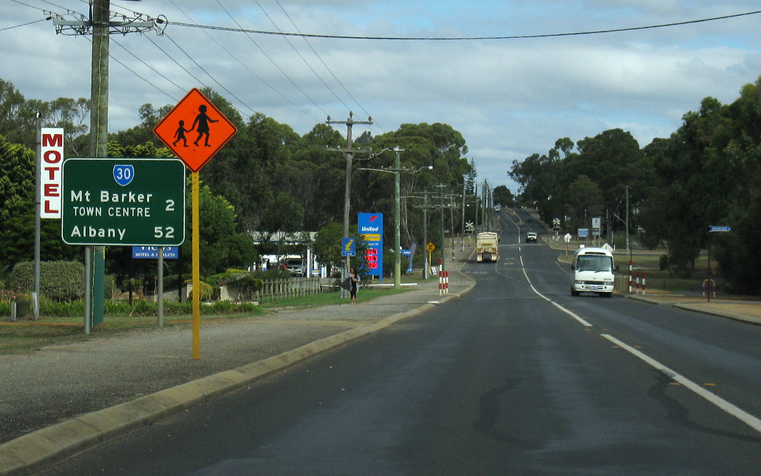
Monderup Street Intersection: Southbound at Mt Barker where Monderup St meets with Albany Hwy. The Albany Hwy bypasses the Mt Barker shopping precinct, April 2018. Click here for a photo of this location by Paul Rands from May 2008. Image © Paul Rands |
|||
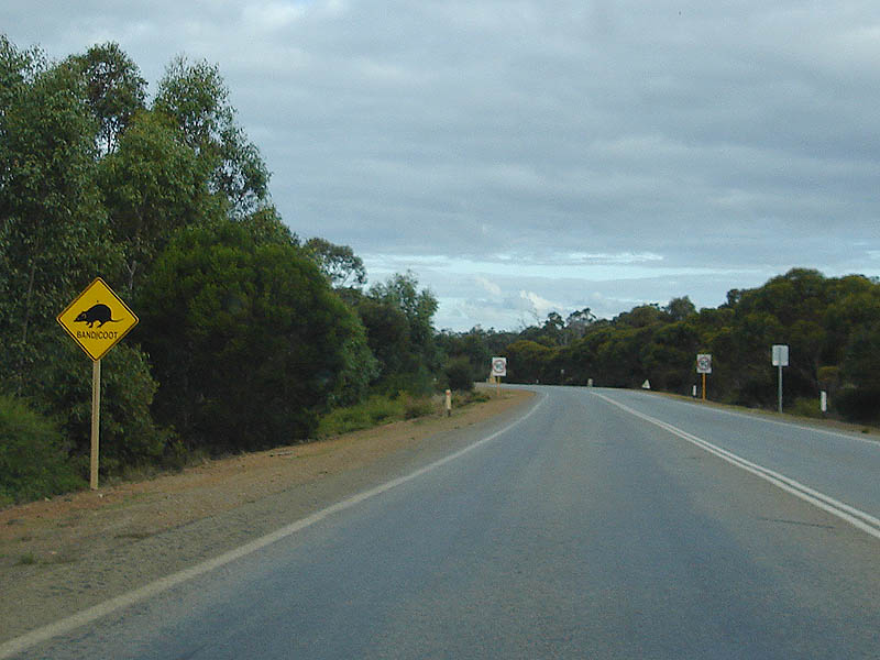 |
Bandicoot Warning Sign: A not so common warning sign for the bandicoot. Southbound at Mt Barker. May 2008. Image © Paul Rands |
|||
 |
Distance Sign: RD sign as you leave the town of Mt Barker. Southbound, April 2018. Image © Paul Rands |
|||
 |
Council Welcome Sign: Sign installed by council to welcome people to the City of Albany council region. May 2008. Image © Paul Rands |
|||
 |
Advance Directional Sign: AD sign at Narrikup approaching Spenser Rd, April 2018. Image © Paul Rands |
|||
 |
Spencer Road: Corner of Albany Hwy (SR30) and Spenser Rd at Narrikup, April 2018. Click here for a photo of this location by Paul Rands from April 2016. Image © Paul Rands |
|||
 |
Narrikup: Albany Hwy (SR30) as it enters the town of Narrikup, April 2018. Image © Paul Rands |
|||
 |
Yellanup Road: Corner of Albany Hwy (SR30) and Yellanup Rd at Narrikup, April 2018. Image © Paul Rands |
|||
 |
Overtaking Lane Sign: Sign detailing rules for overtaking on 3-lane stretch of road, Narrikup, April 2016. Image © Paul Rands |
|||
 |
Phillips Road & Redmond-Hay River Road: Corner of Albany Hwy (SR30), Phillips Rd and Redmond-Hay River Rd at Green Valley, April 2018. Image © Paul Rands |
|||
 |
Low Flying Aircraft Area: Southbound near the Albany Aeroport at Narrikup, is this sign warning not to stop in this area due to the low flying aircraft. May 2008. Image © Paul Rands |
|||
 |
Advance Directional Sign: Southbound AD aproaching the entance to the Albany Airport at Drome. April 2018. Image © Paul Rands |
|||
 |
Albany Airport: Albany Hwy (SR30) at the entrance to Albany Airport at Drome, April 2018. Click here for a photo of this location by Paul Rands from April 2016. Image © Paul Rands |
|||
 |
Advance Directional Sign: AD sign approaching Link Rd at Drome, April 2018. Image © Paul Rands |
|||
 |
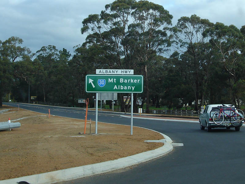
Advance Directional Sign: Large AD sign as you approach the intersection to Menang Road in the Albany area, April 2011. This road forms part of stage 1 of the Albany Ring Road project, which is designed to divert heavy vehicles from the Chester Pass Road roundabout. 1 Image © Peter Renshaw |
|||
 |
Menang Road Intersection: Southbound through Menang Road's junction with the Albany Hwy at Orana (Albany), April 2018. Image © Paul Rands |
|||
 |
Albany Town Name Sign: Southbound sign announcing Albany in the suburb of Orana. April 2018. Click here for a photo of this location by Paul Rands from April 2016. Click here for a photo of this location by Paul Rands from May 2008. Image © Paul Rands |
|||
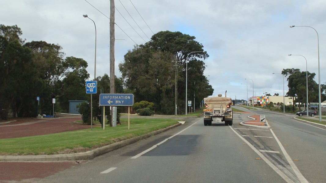 |
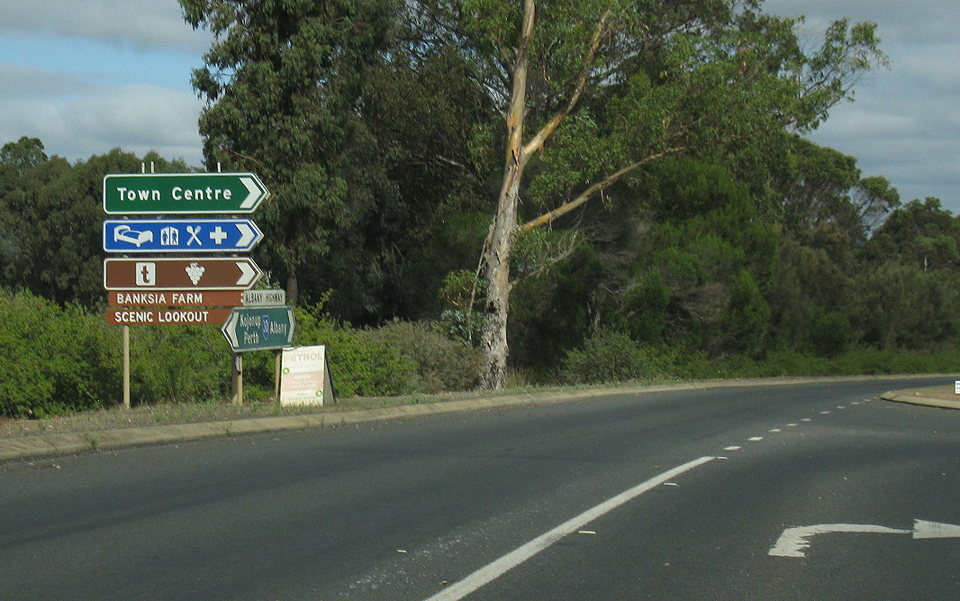
Le Grande Avenue: Albany Hwy (SR30) at the junction with Le Grande Av at Orana, April 2016. Note the old information bay sign. Image © Paul Rands |
|||
 |
Typical Conditions: Looking southeast near Katoomba Street in Orana (Albany), May 2008. Image © Paul Rands |
|||
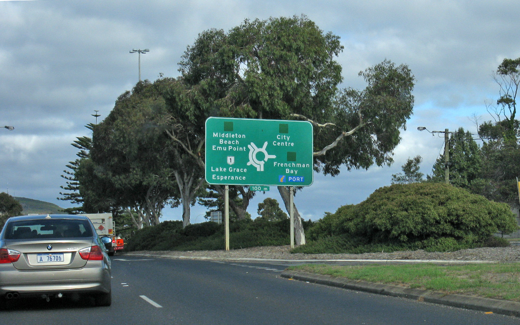 |
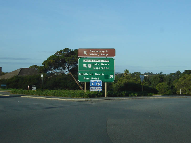
Advance Directional Sign: Large AD sign as you approach the Albany Hwy (SR30 & TD3) / Chester Pass Rd (NR1) / South Coast Hwy (NR1) / Hanrahan Rd (TD2) and North Rd (TD2) roundabout at Orana (Albany), April 2018. Image © Paul Rands |
|||
 |
ID Sign: Intersection directional sign on the Chester Pass Road leg of the Albany Hwy (SR30 & TD3) / Chester Pass Rd (NR1) / South Coast Hwy (NR1) / Hanrahan Rd (TD2) and North Rd (TD2) roundabout at Orana (Albany), April 2018. Click here for a photo of this location by Paul Rands from May 2008. Image © Paul Rands |
|||
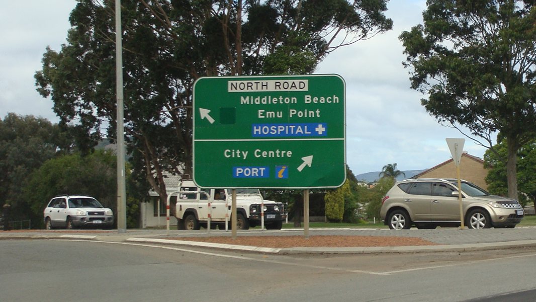 |
Intersection Directional Sign: ID sign of the North Rd leg of the Albany Hwy (SR30 & TD3) / Chester Pass Rd (NR1) / South Coast Hwy (NR1) / Hanrahan Rd (TD2) and North Rd (TD2) roundabout at Yakamia (Albany), April 2016. Image © Paul Rands |
|||
 |
ID Sign: Intersection directional sign on the Albany Hwy (TD3) leg of the Albany Hwy (SR30 & TD3) / Chester Pass Rd (NR1) / South Coast Hwy (NR1) / Hanrahan Rd (TD2) and North Rd (TD2) roundabout at Orana (Albany), May 2008. Image © Paul Rands |
|||
| Click here for the continuation of SR30 between Kojonup and Williams | ||||
1 Main Roads Western Australia
2 Department of Planning and Infrastructure
3 Sam Laybutt (OzRoads)
Last updated: 27-Jul-2020 10:56
This site © Paul Rands. All rights reserved. Some portions © (copyright) by their respective and credited owners. Permission must be obtained before using any images from this site. For details, please email by clicking here.