|
|
|
|
|
 |
Forrest Highway, Kwinana Freeway & Mitchell Freeway: (State Route 2) - South Yunderup to West Pinjarra |
Statistics:
Route Numbering:
General Information:
The Forrest Highway, along with the Kwinana and Mitchell Freeways, are without a doubt one of the most important road systems in the Perth metropolitan area, and the southwestern part of the state.
Running in a north-south direction, the freeways link the north and southern suburbs of Perth together plus the southern city of Mandurah and the state's southwest, but also act as a coastal link between the northern and southern parts of the state. Built in stages from the late 1950s the route has seen enormous changes / extensions and is continuously undergoing expansion to this day.
Unique to the freeway sections is the passenger railway line down the median of the road corridor, which in parts also travels alongside other modes of public transport such as buses.
The route varies from 2 to 3 lanes wide in each direction, with provision in most of the newer sections to have another 1 to 2 lanes to be added when required. Exits along the route are somewhat close together, this is probably due to the large number of suburbs state route 2 services, south of Baldivis, the spacings are longer.
When first planned, the Mitchell Fwy was called the Yanchep Highway, as its envisaged that eventually the route will connect to the town.
History (Forrest Hwy):
Click here for construction photos of the Forrest Highway between South Yunderup and West Pinjarra
| West Pinjarra to South Yunderup | South Yunderup to West Pinjarra | |||
| Preview: | Description: | Preview: | Description: | |
 |
Approaching Birchmont Road: Forrest Hwy at Birchmont approaching Birchmont Rd. December 2012. Image © Paul Rands |
 |
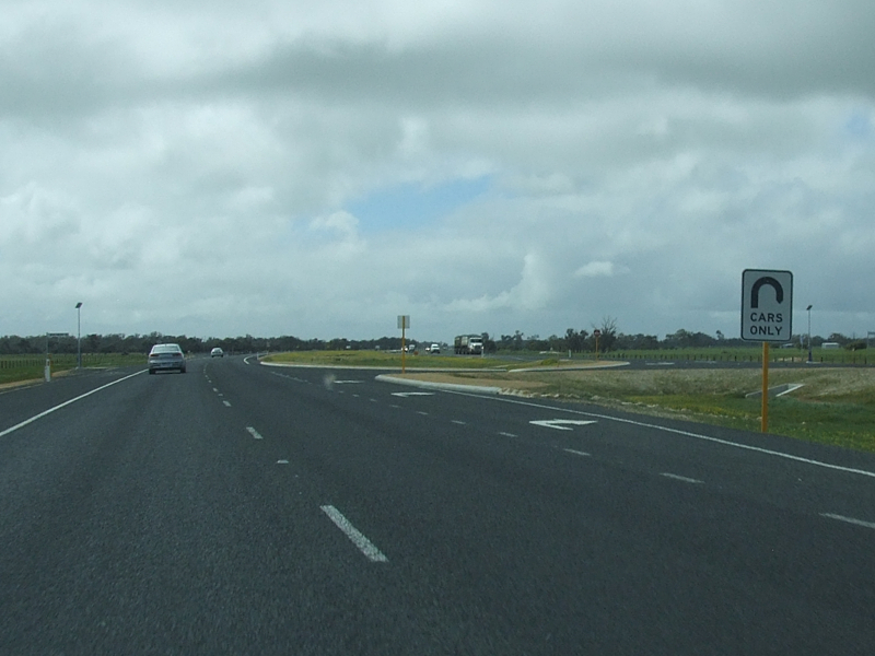
Murray River: Southbound at Ravenswood near Pinjarra Rd and crossing Murray River. Note the indigenous name used on the sign, November 2012. Click here for a photo of this location from September 2009 by Tim Cole. Image © Paul Rands |
|
 |
Birchmont Road Intersection: Corner of Birchmont Road and Forrest Highway (SR2) at Birchmont. September 2009. Forrest Highway was named after Sir John Forrest, Western Australia’s first Premier. 3 Image © Tim Cole |
 |
Reassurance Directional Sign : Distance sign at Ravenswood, April 2016. Image © Paul Rands |
|
 |
Approaching Mills Road: Forrest Hwy approaching Mills Rd at Birchmont. November 2012. Image © Paul Rands |
 |
End Freeway Conditions : End of freeway conditions means end of restrictions of vehicles on the road. Ravenswood, November 2012. Image © Paul Rands |
|
 |
Mills Road Intersection: Corner of Forrest Hwy and Mills Rd at Birchmont. November 2012. Image © Paul Rands |
 |
Approaching Beacham Road: Forrest Hwy approaching Beacham Rd at Ravenswood. September 2009. Image © Tim Cole |
|
 |
Approaching Paull Road : Forrest Hwy (SR2) approaching Paull Rd at West Pinjarra, November 2012. Image © Paul Rands |
 |
Beacham Road Intersection: Corner of Forrest Hwy and Beacham Rd at Ravenswood. November 2012. Image © Paul Rands |
|
 |
Paull Road : Paull Rd intersection, West Pinjarra, November 2012. Image © Paul Rands |
 |
Beacham Road Intersection: Corner of Forrest Hwy and Beacham Rd at Ravenswood. September 2009. Image © Tim Cole |
|
 |
Advance Directional Sign: AD sign approaching Greenlands Rd, West Pinjarra, November 2012. Image © Paul Rands |
 |
SR2 Trailblazer: State Route 2 trailblazer at West Pinjarra after Beacham Road intersection. September 2009. Image © Tim Cole |
|
 |
Approaching Greenlands Road: Forrest Hwy at West Pinjarra approaching Greenlands Rd. November 2012. Click here for a photo of this location from September 2009 by Tim Cole. Image © Paul Rands |
 |
Sculptures: Rest area sculptures at West Pinjarra. September 2009. Image © Tim Cole |
|
 |
Greenlands Road Intersection: Corner of Greenlands Rd and Forrest Hwy at West Pinjarra. November 2012. Image © Paul Rands |
 |
Advance Directional Sign: AD sign at West Pinjarra approaching Greenlands Rd, November 2012. Image © Paul Rands |
|
 |
Greenlands Road Intersection: Corner of Greenlands Rd and Forrest Hwy at West Pinjarra. December 2012. Click here for a photo of this location from September 2009 by Tim Cole. Image © Paul Rands |
 |
Approaching Greenlands Road: Forrest Hwy at West Pinjarra approaching Greenlands Rd. September 2009. Image © Tim Cole |
|
 |
Intersection Directional Sign: ID sign facing Greenlands Rd West at West Pinjarra. September 2009. Image © Tim Cole |
 |
Greenlands Road Intersection: Corner of Greenlands Rd and Forrest Hwy at West Pinjarra. September 2009. Image © Tim Cole |
|
 |
Distance Sign: RD sign at West Pinjarra, after the Greenlands Road junction. December 2012. Click here for a photo of this location from September 2009 by Tim Cole. Image © Paul Rands |
 |
Greenlands Road Intersection: Corner of Greenlands Rd and Forrest Hwy at West Pinjarra, November 2012. Click here for a photo of this location from September 2009 by Tim Cole. Image © Paul Rands |
|
 |
Approaching Beacham Road : Forrest Hwy (SR2) approaching Beacham Rd at West Pinjarra, November 2012. Image © Paul Rands |
 |
Greenlands Road Intersection: Corner of Greenlands Rd and Forrest Hwy at West Pinjarra. September 2009. Image © Tim Cole |
|
 |
Beacham Road : Corner of Forrest Hwy (SR2) and Beacham Rd, West Pinjarra, November 2012. Image © Paul Rands |
 |
Greenlands Road Intersection: Corner of Greenlands Rd and Forrest Hwy at West Pinjarra, November 2012. Click here for a photo of this location from September 2009 by Tim Cole. Image © Paul Rands |
|
 |
Advance Directional Sign: AD sign at South Yunderup approaching Pinjarra Rd. December 2012. Click here for a photo of this location from September 2009 by Tim Cole. Image © Paul Rands |
 |
SR2 Trailblazer: State Route 2 trailblazer at West Pinjarra after Greenlands Road intersection. September 2009. Image © Tim Cole |
|
|
Murray River: Northbound at South Yunderup approaching Pinjarra Rd and crossing Murray River. Note the indigenous name used on the sign. November 2012. Image © Paul Rands |
 |
Approaching Paull Road: Forrest Hwy approaching the Paull Rd intersection at West Pinjarra. December 2012. Image © Paul Rands |
|
 |
Paull Road Junction: Forrest Hwy at the Paull Rd intersection at West Pinjarra, November 2012. Click here for a photo of this location from September 2009 by Tim Cole. Image © Paul Rands |
|||
 |
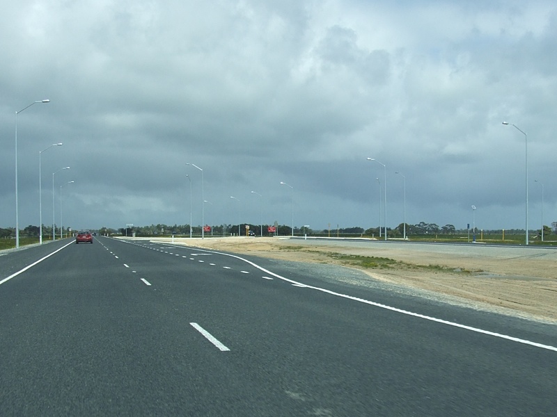
Approaching Mills Road: Forrest Hwy (SR2) approaching Mills Rd, West Pinjarra, April 2016. Image © Paul Rands |
|||
 |
Mills Road: Forrest Hwy (SR2) at the junction with Mills Rd, West Pinjarra, April 2016. Image © Paul Rands |
|||
 |
Mills Road: Forrest Hwy (SR2) at the junction with Mills Rd, West Pinjarra, April 2016. Image © Paul Rands |
|||
 |
Trailblazer: SR2 trailblazer after Mills Rd at West Pinjarra, April 2016. Image © Paul Rands |
|||
| Click here for the continuation of SR2 between West Pinjarra and Lake Clifton Click here for the continuation of SR2 as Kwinana Freeway between South Yunderup and Baldivis |
||||
1 Southern Gateway Alliance Fact Sheet - Project Facts 01
2 Southern Gateway Alliance Media Release - Kwinana Freeway Extension and Forrest Highway Opening Celebration
3 Government of Western Australia, Ministerial Media Statements - Sir John Forrest commemorated in naming of new highway, 14 March 2009.
Last updated: 23-Jan-2019 12:31
This site © Paul Rands. All rights reserved. Some portions © (copyright) by their respective and credited owners. Permission must be obtained before using any images from this site. For details, please email by clicking here.