|
|
|
|
|
| Robertson Dr, Bussell Hwy, Busselton Bypass, Brockman Hwy, Vasse Hwy, Pemberton-Northcliffe Rd, Wheatley Coast Rd & Middleton Rd (State Route 10) - Capel To Busselton |
Statistics:
Route Numbering:
General Information:
State Route 10 is a connector route for the southwest region of Western Australia. It connects Bunbury to towns further south and south east filling the gap that isn't covered by National Route 1.
The route is most rural highway standard, with some divided 4 lane sections between Bunbury and Busselton. The Bussell Highway section of SR10 was named after the Bussell family, some of the region's first settlers. The Bussell Highway forms the main route servicing the coastal strip betwen Bunbury and Augusta. The road between Busselton and Margaret River is used on average by more than 4000 vehicles per day, with significantly more during summer and holiday periods. 1
SR10 extends beyond Busselton to Margaret River and eventually Augusta, near the southwestern most tip of Australia's mainland. About 20 km north of Augusta, SR10 also branches off and is part of the Brockman Highway, which travels in a south easterly direction eventually connecting with the Vasse Hwy which also forms part of the route between Pemberton and Nannup.
History:
| Capel To Busselton | Busselton to Capel | |||
| Preview: | Description: | Preview: | Description: | |
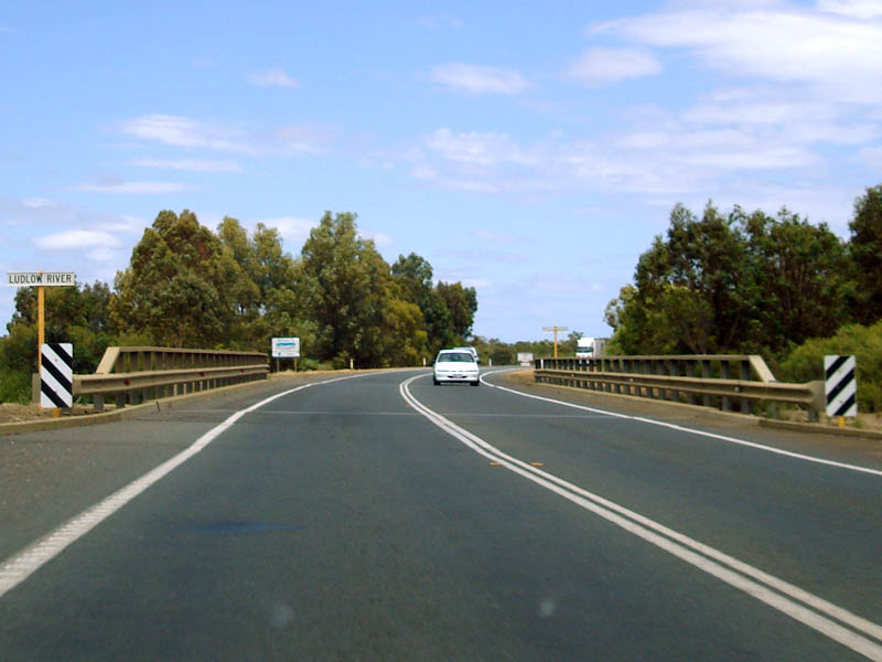 |
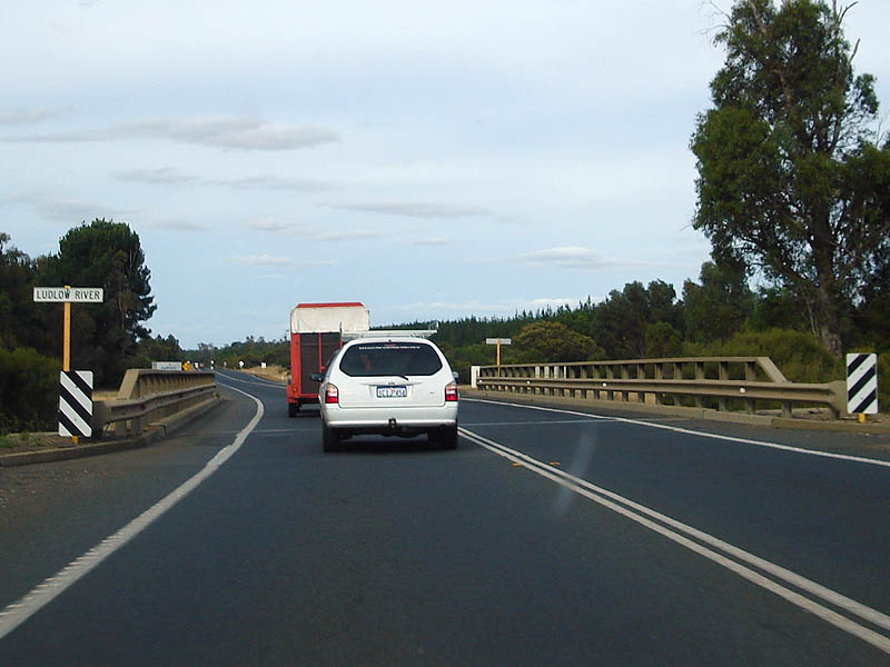
Ludlow River: Crossing the Ludlow River in the Ludlow area. December 2007. Image © Paul Rands |
 |
ID Sign: Image © Paul Rands |
|
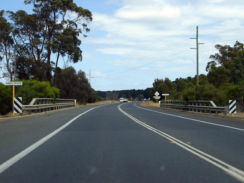 |
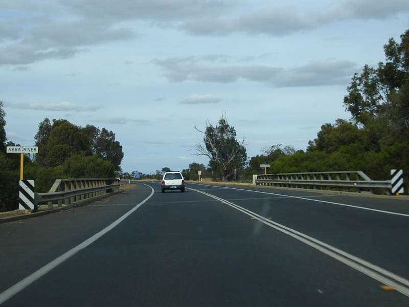
Abba River: Southbound as you cross the Abba River. December 2007. Image © Paul Rands |
 |
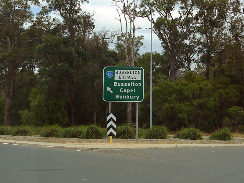
Distance Sign: Looking northbound at the beginning of the southern end of the Busselton Bypass. December 2007. Image © Paul Rands |
|
 |
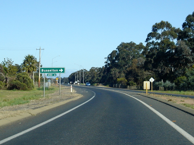
Advance Directional Sign: Advance Directional Sign approaching Sues Road at Yalyallup. December 2007. Image © Paul Rands |
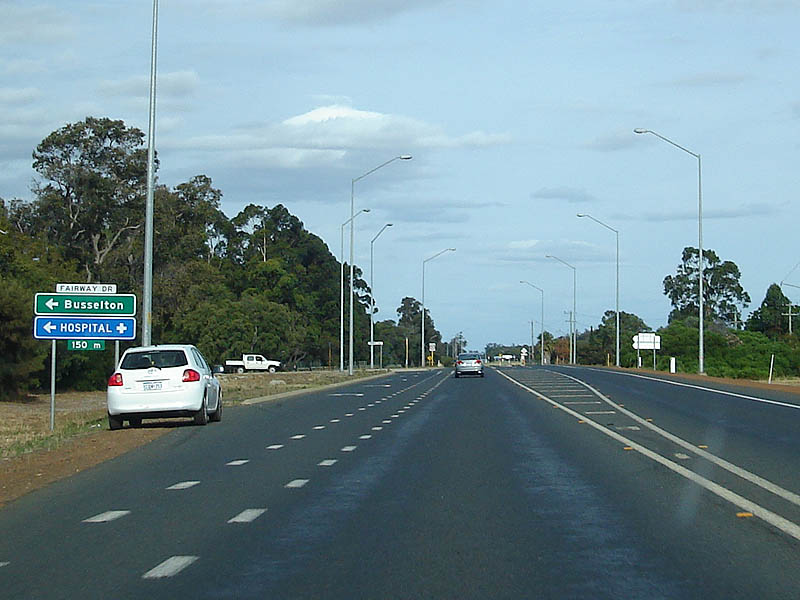 |
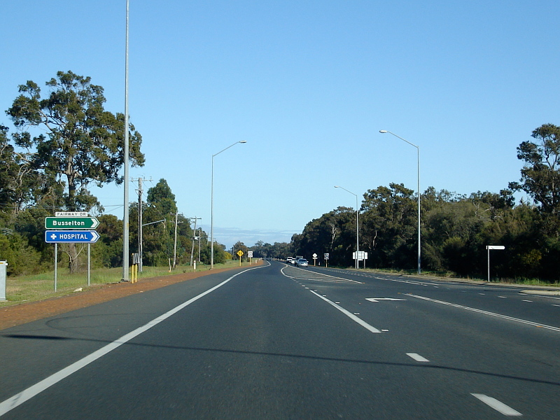
Fairway Drive Intersection: Looking northbound at the Fairway Drive intersection at Busselton. December 2007. Image © Paul Rands |
|
 |
Sues Road Intersection: Southbound through the intersection with Sues Road at Yalyallup, December 2007. Image © Paul Rands |
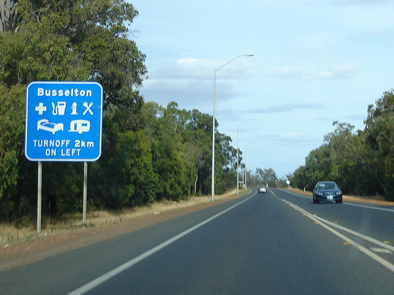 |
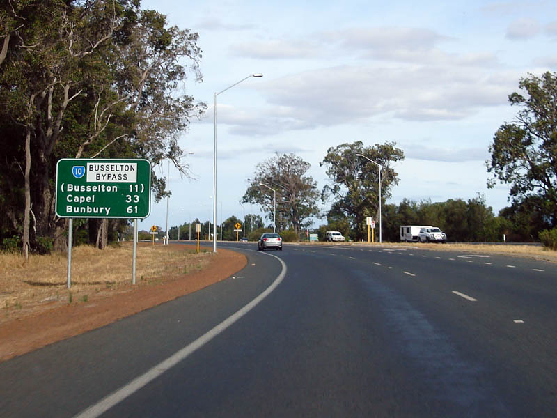
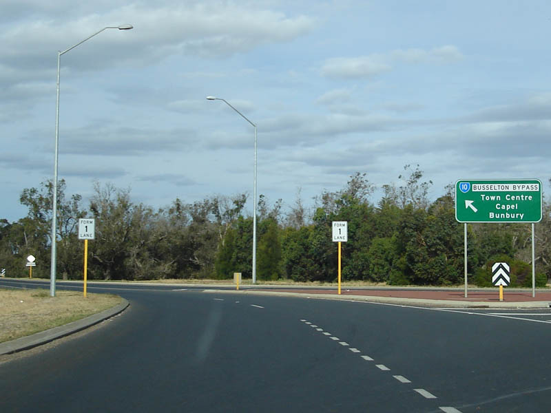
Services Sign: Sign for services available in Busselton, on the Busselton Bypass. December 2007. Image © Paul Rands |
|
 |
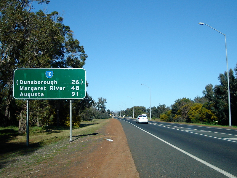
Distance Sign: Southbound distance sign near Sues Road at Yalyellup, December 2007. Image © Paul Rands |
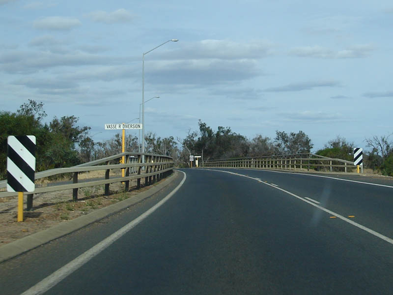 |
Vasse River Deviation: Northbound carriageway as it passes over the Vasse River Deviation at Busselton. December 2007. Image © Paul Rands |
|
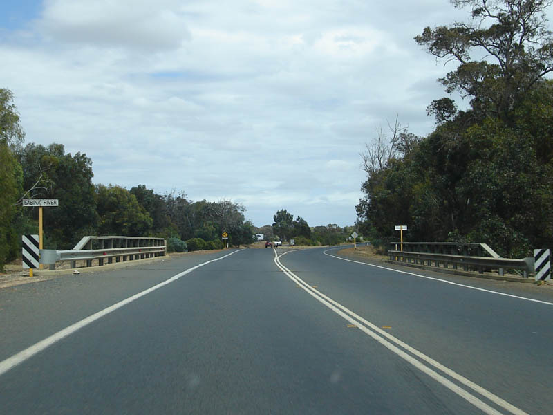 |
Sabina River: Crossing the Sabina River, Yalyellup. December 2007. Image © Paul Rands |
 |
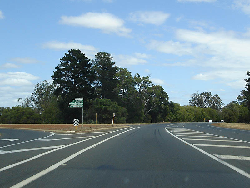
Chapman Hill Road: ID sign exiting from the Chapman Hill Rd roundabout at Busselton. December 2007. Image © Paul Rands |
|
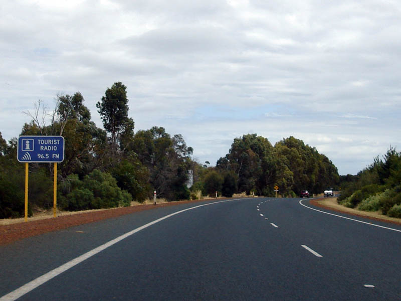 |
Tourist Information Radio Sign: Typical tourist information radio sign as we get closer to Busselton, southbound at Reinscourt, December 2007. Image © Paul Rands |
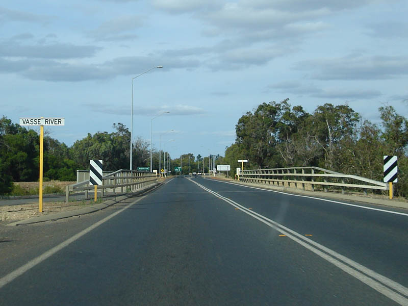 |
Vasse River: Crossing the Vasse River at Busselton. December 2007. Image © Paul Rands |
|
 |
Services Sign: Services sign for Busselton as you pass through Reinscourt, December 2007. Image © Paul Rands |
 |
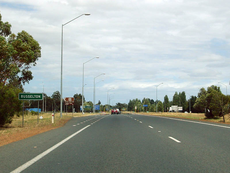
Busselton Town Name Sign: Typical WA sign indicating the name of the town. December 2007. Image © Paul Rands |
|
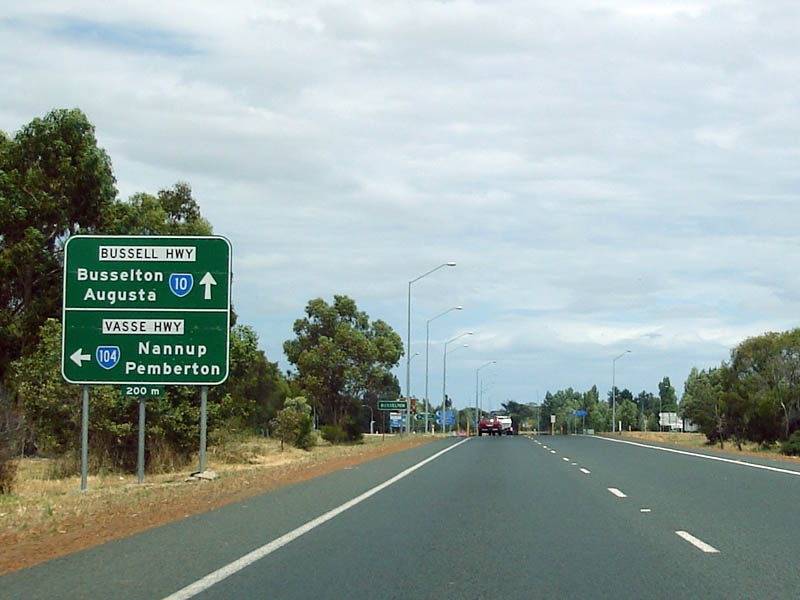 |
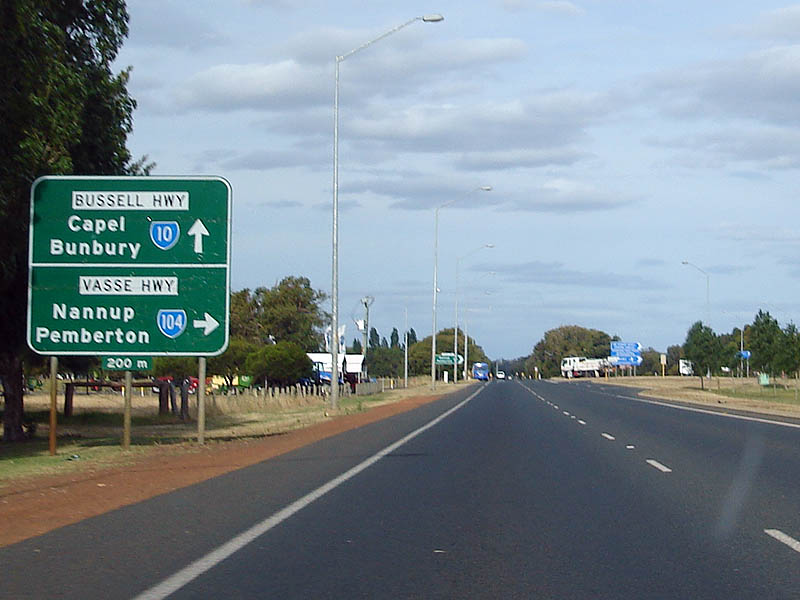
Advance directional Sign: Southbound approaching the junction with Vasse Highway (SR104) at Reinscourt, December 2007. Image © Paul Rands |
 |
Advance Directional Sign: Northbound AD sign approaching the Causeway Road intersection at Busselton. December 2007. Image © Paul Rands |
|
 |
Entering Busselton: Southbound at the intersection with Vasse Hwy at Busselton, December 2007. Image © Paul Rands |
 |
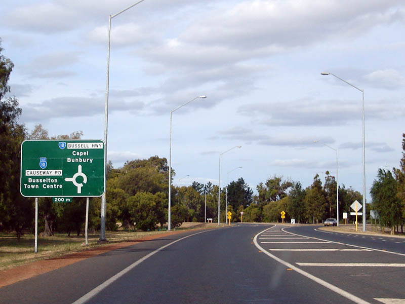
ID Sign: Signage for the Bussell Hwy exit from the Causeway Rd roundabout at Busselton. December 2007. Image © Paul Rands |
|
 |
Vasse Highway Intersection: Southbound carriageway thru the Vasse Hwy junction at Busselton, December 2007. Image © Paul Rands |
 |
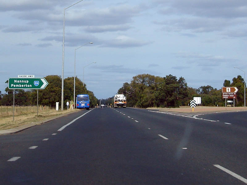
AD Sign: Advance directional sign approaching Vasse Hwy at Reinscourt. December 2007. Image © Paul Rands |
|
 |
Approaching Causeway Road: Southbound approaching the northern end of the Busselton Bypass, December 2007. Image © Paul Rands |
 |
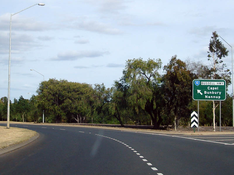
Vasse Hwy Intersection: ID sign facing northbound traffic at the Vasse Hwy junction in Reinscourt. December 2007. Image © Paul Rands |
|
 |
Advance Directional Sign: Southbound AD sign approaching Causeway Road at Busselton. December 2007. Image © Paul Rands |
 |
Distance Sign: NB RD sign after the Vasse Hwy intersection. December 2007. Image © Paul Rands |
|
 |
Busselton Welcome Sign: Concrete and brick council welcome sign for Busselton, December 2007. Image © Paul Rands |
 |
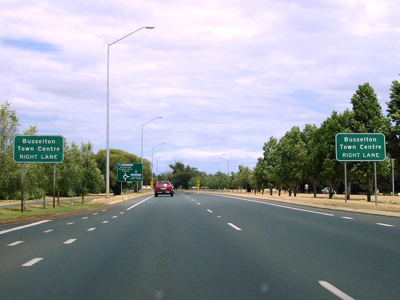
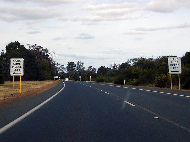
Approaching the End of the Dual Carriageways: Right lane ends for the end of the dual carriageway at Yalyallup. December 2007. Image © Paul Rands |
|
 |
Busselton Bypass Exit: Southbound at the Causeway Road intersection at Busselton. December 2007. Image © Paul Rands |
 |
Approaching the Merge at Yalyallup: Signs indicating the merge at Yalyallup to cross the Sabina River. December 2007. Image © Paul Rands |
|
 |
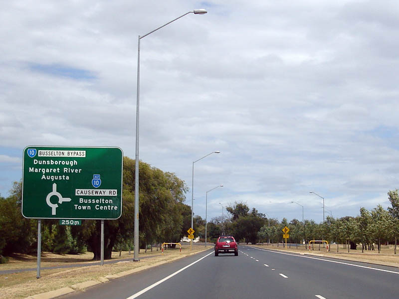
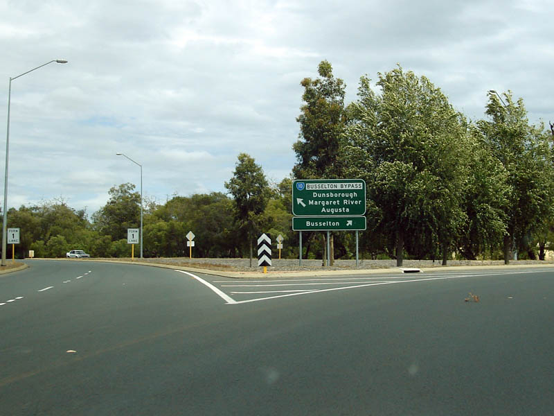
Intersection Directional Sign: Intersection directional sign on the roundabout at the northern end of the Busselton Bypass and Causeway Road. December 2007. Image © Paul Rands |
 |
Wannerup Road Intersection: Approaching Sabina River at Yalyellup. December 2007. Image © Paul Rands |
|
 |
Distance Sign: Image © Paul Rands |
 |
Sabina River: Bridge over the Sabina River at Yalyellup. December 2007. Image © Paul Rands |
|
 |
Vasse River: Crossing the Vasse River at Busselton. September 2008. Image © Paul Rands |
 |
AD Sign: Sues Road AD sign at Yalyellup. December 2007. Image © Paul Rands |
|
 |
Chapman Hill Road: ID sign assembly at the roundabout with Chapman Hill Road in Bovell. September 2008. Image © Paul Rands |
 |
Distance Sign: Northbound RD sign at Yalyellup after Sues Road. December 2007. Image © Paul Rands |
|
 |
ID Sign: Intersection directional sign on the roundabout with Chapman Hill Road in Bovell. September 2008. Image © Paul Rands |
 |
Abba River: Image © Paul Rands |
|
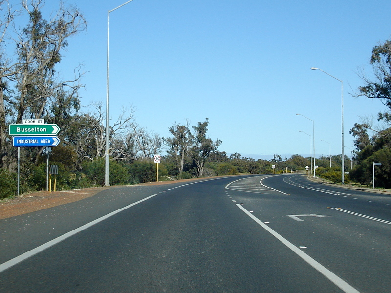 |
Cook Street Intersection: Busselton Bypass as it passes Cook St in West Busselton. September 2008. Image © Paul Rands |
 |
Ludlow River: Image © Paul Rands |
|
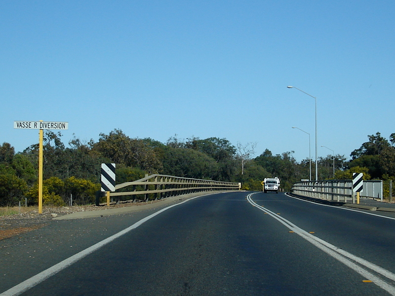 |
Vasse River Diversion: SR10 as it crosses the Vasse River Diversion at West Busselton. September 2008. Image © Paul Rands |
|||
 |
Advance Directional Sign: AD sign for the Fairway Dr intersection at West Busselton. September 2008. Image © Paul Rands |
|||
 |
Fairway Drive Junction: Busselton Bypass as it passes by Fairway Drive at West Busselton. September 2008. Image © Paul Rands |
|||
| Click here for the continuation of SR10 between Bunbury and Capel Click here for the continuation of SR10 Between Busselton and Augusta |
||||
1 Main Roads WA
Last updated: 08 Nov 2019 01:09
This site © Paul Rands. All rights reserved. Some portions © (copyright) by their respective and credited owners. Permission must be obtained before using any images from this site. For details, please email by clicking here.