|
|
|
|
|
| A9 | Arthur Highway (A9) - Sorell to Copping |
Statistics:
Route Numbering:
General Information:
The Arthur Highway is a sealed road in Tasmania. It goes from Sorell to Port Arthur. The Arthur Highway's highest elevation along its length is 196m and the lowest point is at 4.15m. The Arthur Highway connects with the Tasman Highway and is the only connection between Hobart and the Tasman Peninsula, and Port Arthur.
The Arthur Highway is hilly along its length, with about 9.5 km that is steeper in incline/grade than 5% (1.3 km is steeper in incline/grade than 10%).
History:
| Preview: | Description: |
 |
Intersection Directional Sign ID signage facing southbound traffic at the Arthur Hwy / Kellevie Rd (C336) junction at Copping. Image © Michael Gill |
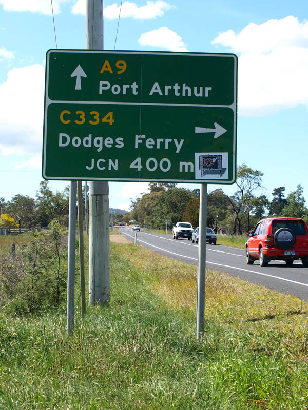 |
AD Sign: Image © Peter Renshaw |
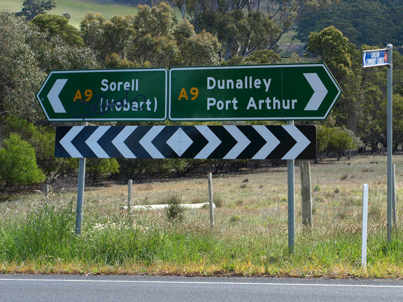 |
ID Sign: Image © Peter Renshaw |
Last updated: 10-Feb-2019 12:50
This site © Paul Rands. All rights reserved. Some portions © (copyright) by their respective and credited owners. Permission must be obtained before using any images from this site. For details, please email by clicking here.