|
|
|
|
|
 |
Bruce Highway (National Highway 1) (Decommissioned) - Maryborough to Gin Gin |
Statistics:
Route Numbering:

General Information:
The Highway 1 corridor is the main coastal route from the NSW border to the northern tip of the east coast of Australia, and links major cities and towns with Brisbane, and beyond the NSW border, Sydney.
Bruce Highway is named after former Minister of Public Works, Henry Bruce and connects Brisbane with all coastal regions north of the city.
The route is freeway standard from the Gateway Motorway interchange to Curra, north of Cooroy. From there, the route alternates between single and dual carriageway, and passes through rural, residential, industrial and commercial areas.
History:
| Preview: | Description: |
 |
Gympie Road: Bruce Hwy (NH1) at Gympie Rd (SR57) at Tinana, December 2002. Image © Michael Greenslade |
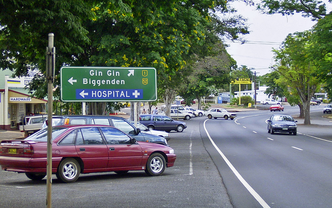 |
Advance Directional Sign: AD sign at Childers approaching Isis Hwy (SR52), May 2005. Note the incorrect NH52 shield. Image © Michael Greenslade |
| Click here for the continuation of National Highway 1 between Gin Gin and Gladstone Click here for the continuation of National Highway 1 between Gympie and Maryborough |
|
1 Department of Transport and Main Roads, The State Road Network of Queensland, 30 June 2010
2 Nambour Chronicle, 26 October 1934
3 Nambour Chronicle, 23 November 1934
4 Tyler Bullock
5 Department of Environment and Heritage Protection, North Coast Roadside Rest Areas
Last updated: 24-Oct-2021 22:43
This site © Paul Rands. All rights reserved. Some portions © (copyright) by their respective and credited owners. Permission must be obtained before using any images from this site. For details, please email by clicking here.