|
|
|
|
|
| M2 A2 | Gateway Motorway, Logan Motorway, Ipswich Motorway, Warrego Highway, Landsborough Highway & Barkly Highway (M2/A2) - Former Alignment: Dinmore to Toowoomba |
Statistics:
Route Numbering:

General Information:
M/A2 is the main link from Brisbane to the northern territory. It varies from motorway standard in the Brisbane metropolitan area, to dual carriageway rural highway standard between Brisbane and Toowoomba, and rural highway standard beyond Toowoomba.
History:
This page concentrates on the former A2 alignment through the Toowoomba area.
| Dinmore to Toowoomba | Toowoomba to Dinmore | |||
| Preview: | Description: | Preview: | Description: | |
 |
Advance Directional Sign: AD sign on Warrego Hwy (M2) approaching Brisbane Vly Hwy (NR17) at Blacksoil, November 2003. After this junction, Warrego Hwy becomes A2. Image © Michael Greenslade |
 |
Warning
Sign: Special Very Steep Descent warning sign at Redwood, as you descend the Toowoomba Range, October 2005. Image © Paul Rands |
|
 |
Speed
Camera Sign: Sign indicating the possible use of speed cameras along the Toowoomba Range. Redwood, October 2005. Image © Paul Rands |
|||
 |
Steep
Descent Sign: Sign indicating the level of drop down the Toowoomba Range at Redwood. October 2005. Image © Paul Rands |
|||
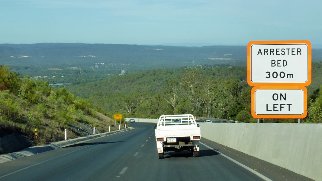 |
Toowoomba Range: Warrego Hwy (A2) as it descends the Toowoomba Rage at Redwood, February 2017. Image © Michael Greenslade |
|||
 |
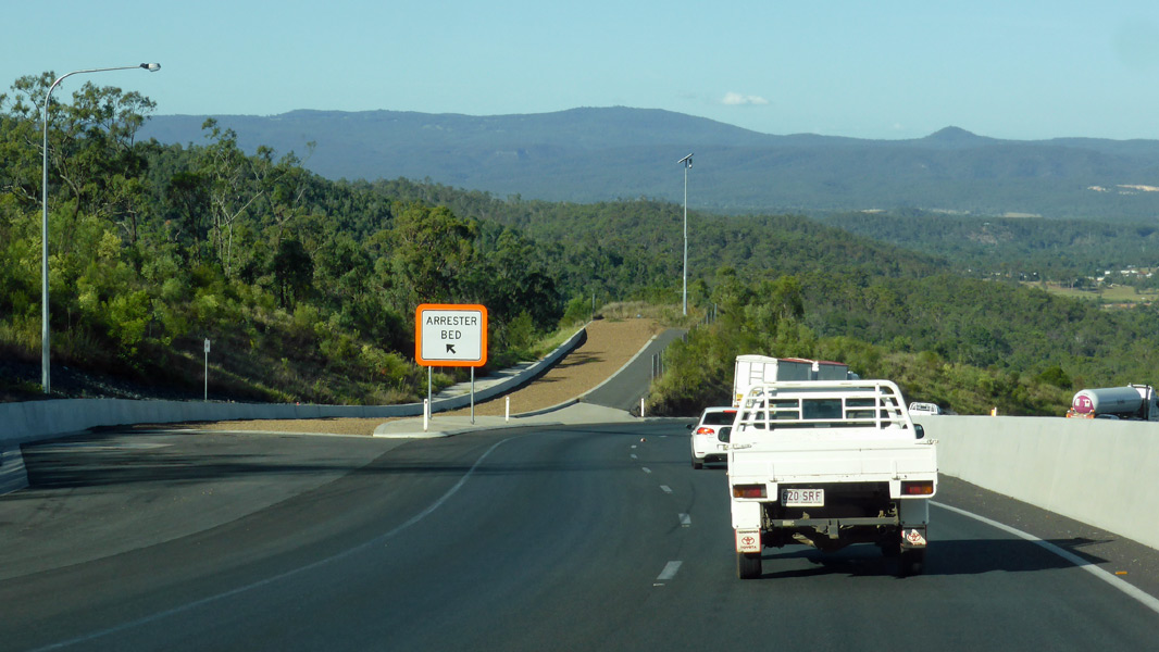
Toowoomba Range: Warrego Hwy (A2) as it descends the Toowoomba Rage at Redwood, February 2017. Image © Michael Greenslade |
|||
 |
Toowoomba Range: Warrego Hwy (A2) as it descends the Toowoomba Rage at Redwood, February 2017. Image © Michael Greenslade |
|||
 |
Warning
Sign: Special Very Steep Descent warning sign at Redwood, as you descend the Toowoomba Range, October 2005. Image © Paul Rands |
|||
 |
Entering
Withcott: The final descent down the Toowoomba Range into the town of Withcott, October 2005. Image © Paul Rands |
|||
 |
Advance Directional Sign: AD sign at the Brisbane Valley Hwy (NR17) interchange at Blacksoil, November 2013. Image © Michael Greenslade |
|||
1 The State Road Network Map, 30
June 2008
2 Queensland Roads, Edition No 5, (Toowoomba Range Tunnels Report), March 2008
3 QMR, Strategic Tourism Routes Revision
12
4 Ministerial Media Statements, Federal
Government own worst enemy on roads: Lucas, 25 July 2006
5 Ministerial Media Statements, Haigslea
intersection easier to negotiate, 22 May 2008
Last updated: 21-Oct-2021 13:57
This site © Paul Rands. All rights reserved. Some portions © (copyright) by their respective and credited owners. Permission must be obtained before using any images from this site. For details, please email by clicking here.