|
|
|
|
|

|
Burley Griffin Way (State Route 94) (Decommissioned) |
Statistics:
Route Numbering:


General Information:
SR94 is a rural highway linking the Murrumbidgee Irrigation Area with the Canberra region. The route is named after Chicago architect Walter Burley Griffin, designer of the cities Canberra, Griffith and township of Leeton. 2
Multiplexes along the route include:
History:

| Bowning to Griffith | Griffith to Bowning | |||
| Preview: | Description: | Preview: | Description: | |
 |
Black Kilometre Plate : Black kilometre plate from 1977 at Bowning, October 2016. Image © Paul Rands |
 |
Reassurance Directional Sign: Distance sign at Murrumburrah, January 2003. Image © Michael Greenslade |
|
 |
Advance Directional Sign: AD sign approaching the junction with Bowning Rd (former Hume Hwy) at Bowning, October 2016. Image © Paul Rands |
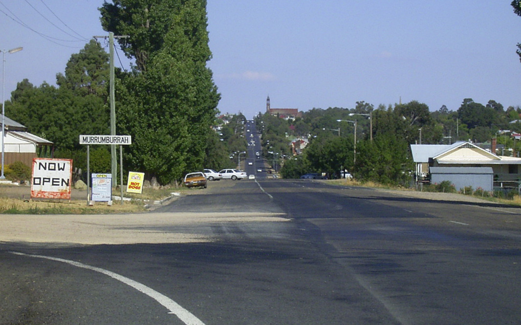 |
Entering Murrumburrah: Burley Griffin Way (SR94) as it enters the Murrumburrah town centre, January 2003. Image © Michael Greenslade |
|
 |
Intersection Directional Sign: ID sign at the junction with Bowning Rd (former Hume Hwy) at Bowning, May 2016. Image © Paul Rands |
|||
1 Roads & Maritime Services, Schedule of Classified Roads and Unclassified Regional Roads, 20 January 2014
2 Visit Griffith, Getting To Griffith
3 Roads & Maritime Services, Media Releases, Start of road works to improve Burley Griffin Way, 2 October 2013
Last updated: 18-Oct-2021 0:22
This site © Paul Rands. All rights reserved. Some portions © (copyright) by their respective and credited owners. Permission must be obtained before using any images from this site. For details, please email by clicking here.