|
|
|
|
|
 |
Kamilaroi Highway (National Route 37) - Gunnedah to Willow Tree (Decommissioned) |
Statistics:
Route Numbering:

General Information:
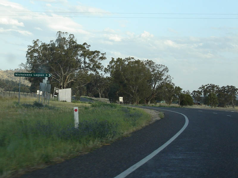
The highway is named after the Kamilaroi Aboriginal people of north western NSW. 2 The route connects the Hunter Valley with the far northwest outback of New South Wales.
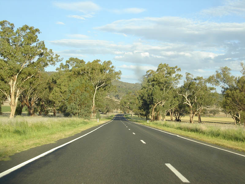
The route consists of mostly single carriageway undivided roadway, passing through nature reserves, farmland, commercial and residential areas.
Multiplexes along the route include:
History:
| Willow Tree to Gunnedah | Gunnedah to Willow Tree | |||
| Preview: | Description: | Preview: | Description: | |
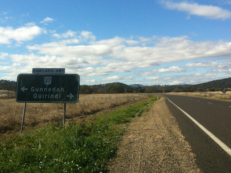 |
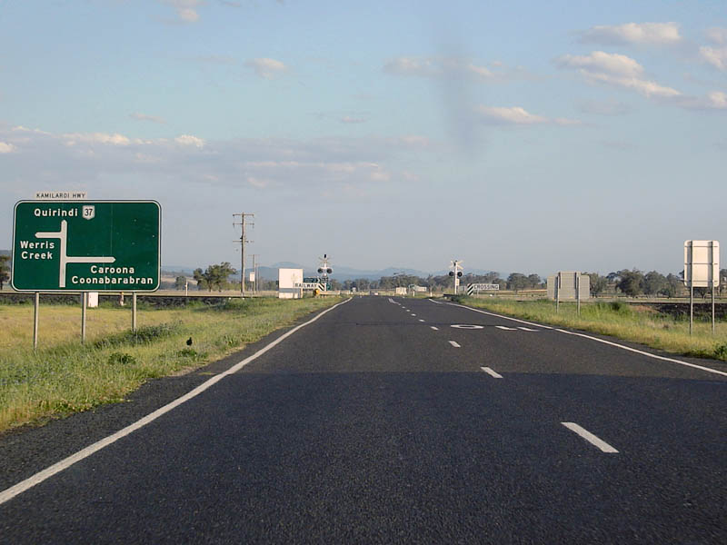
Black Advance Directional Sign: Black AD sign on Coonabarabran Rd at Quirindi approaching Kamilaroi Hwy (NR37), July 2012. Image © Rob Tilley |
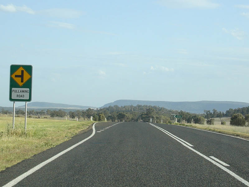 |
Warning Sign: Intersection warning sign for Pullaming Road at Pullaming. October 2006. Image © Paul Rands |
|
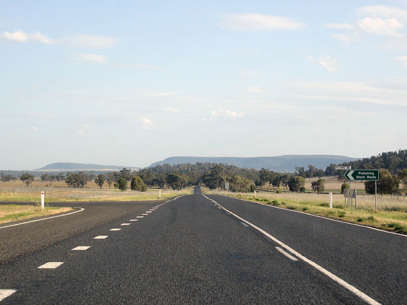 |
Pullaming Road Intersection: Looking southbound at Pullaming. October 2006. Image © Paul Rands |
|||
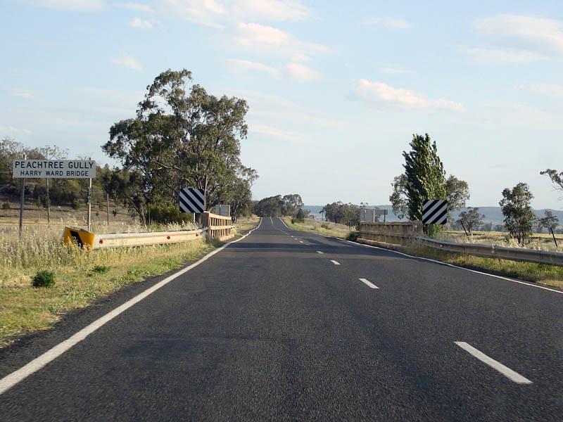 |
Peachtree Creek: Southbound at Pullaming. October 2006. Image © Paul Rands |
|||
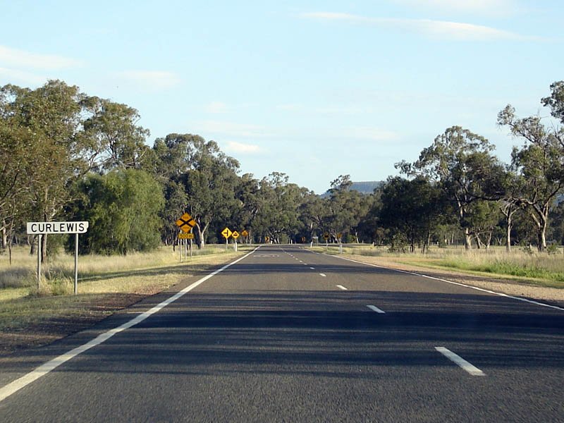 |
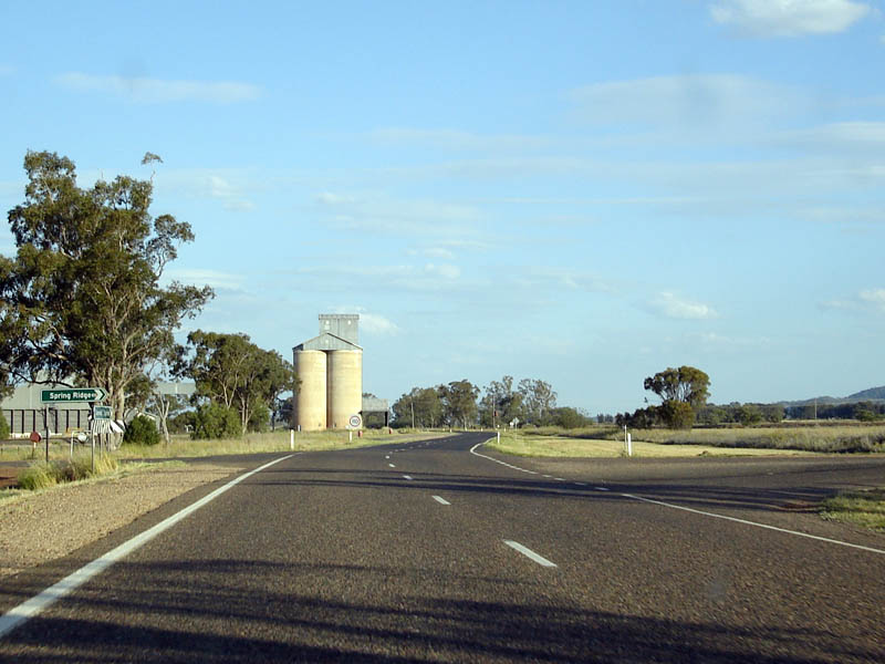
Curlewis: Kamilaroi Hwy (NR37) as it enters Curlewis. October 2006. Image © Paul Rands |
|||
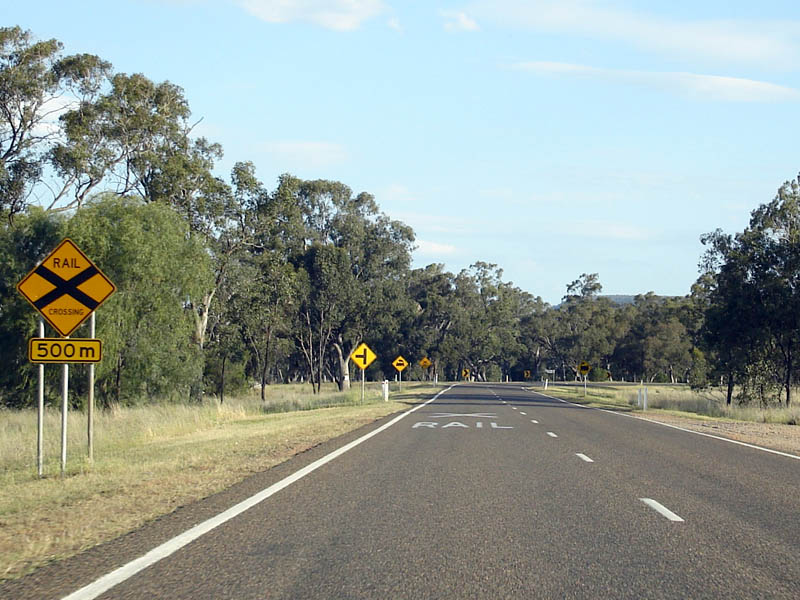 |
Approaching the Curlewis level crossing: Southbound as you approach the railway line located on an S-bend. October 2006. Image © Paul Rands |
|||
 |
Approaching the Curlewis level crossing: Southbound as you approach the railway line located on an S-bend. October 2006. Image © Paul Rands |
|||
 |
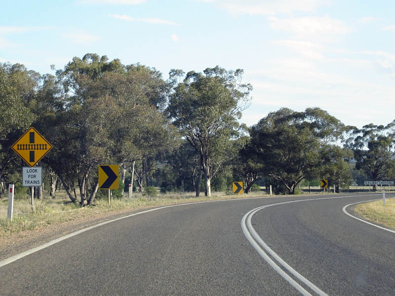
Curlewis level crossing: Crossing the railway line at Curlewis. October 2006. Image © Paul Rands |
|||
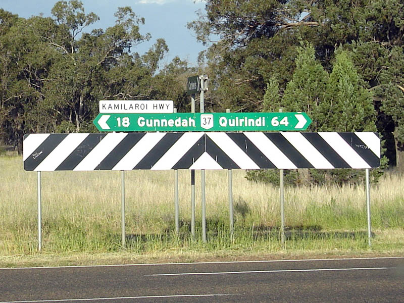 |
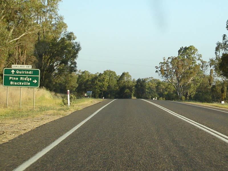
ID Signage: Sign assembly facing Old Cemetery Road (which leads to Curlewis town centre). October 2006. Image © Paul Rands |
|||
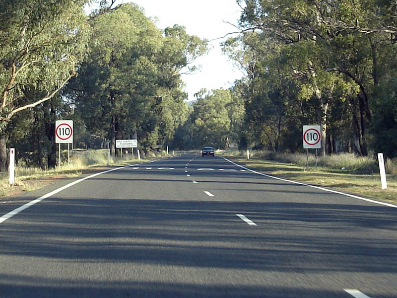 |
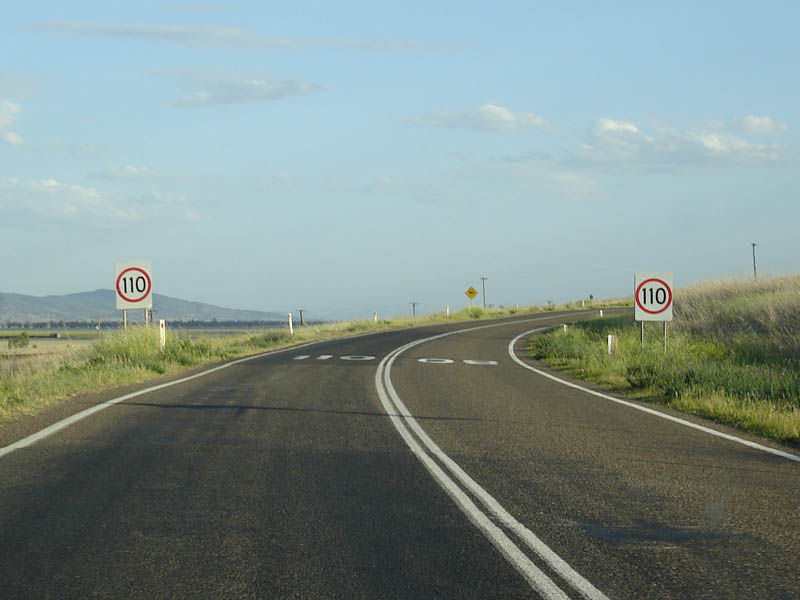
Start 110km/h Zone: Southbound at the beginning of the 110 km/h zone at Curlewis. October 2006. Image © Paul Rands |
|||
 |
Nea: Kamilaroi Hwy (NR37) as it passes through Nea. October 2006. Image © Paul Rands |
|||
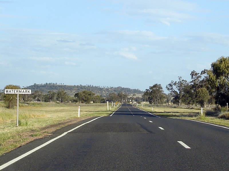 |
Floodway: Southbound over the floodway at Watermark. October 2006. Image © Paul Rands |
|||
 |
The Dip Road: Southbound past The Dip Road at Breeza. October 2006. Image © Paul Rands |
|||
 |
Entering Breeza: Southbound as you enter the town of Breeza. October 2006. Image © Paul Rands |
|||
 |
Breeza: Kamilaroi Hwy (NR37) as it passes through Breeza. October 2006. Image © Paul Rands |
|||
 |
Hogarth Street: Intersection with Hogarth Street at Breeza. October 2006. Image © Paul Rands |
|||
 |
Breeza Station Road: Approaching the Mooki River as you pass Breeza Station Road. October 2006. Image © Paul Rands |
|||
 |
110km/h Zone: Back into the 110 zone at Breeza. A rare occurence on non freeway standard roads in NSW. October 2006. Image © Paul Rands |
|||
 |
Bolon Bolon Road Intersection: Southbound at Breeza. October 2006. Image © Paul Rands |
|||
 |
Mystery Road: Corner of Kamilaroi Hwy (NR37) and Mystery Road at Breeza. October 2006. Image © Paul Rands |
|||
 |
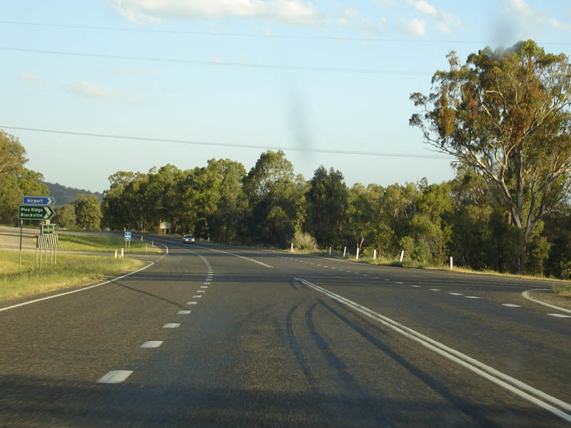
Services Sign: Services sign approaching the Square Bush Rest Area near Breeza. October 2006. Image © Paul Rands |
|||
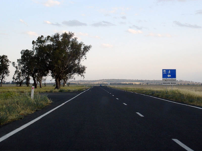 |
Square Bush Rest Area: Southbound past the Square Bush Rest Area between Breeza and Werris Creek. October 2006. Image © Paul Rands |
|||
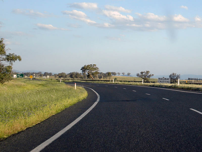 |
Level Crossing: Approaching the level crossing at Werris Creek. October 2006. Image © Paul Rands |
|||
 |
Advance Directional Sign: AD sign for Waverly Road and Gap Road, Werris Creek. October 2006. Image © Paul Rands |
|||
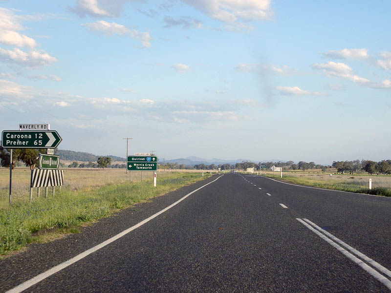 |
Waverly Road Intersection: Southbound at Werris Creek. October 2006. Image © Paul Rands |
|||
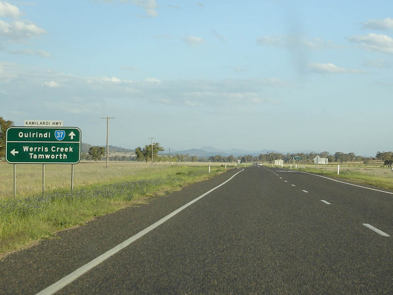 |
Advance Directional Sign: AD sign for Gap Road at Werris Creek. October 2006. Image © Paul Rands |
|||
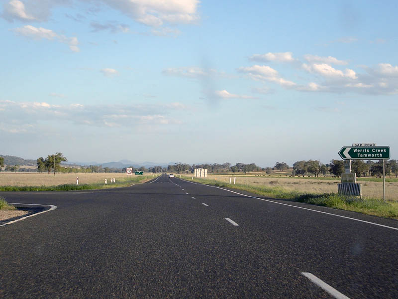 |
Gap Road Intersection: Southbound at Werris Creek. October 2006. Image © Paul Rands |
|||
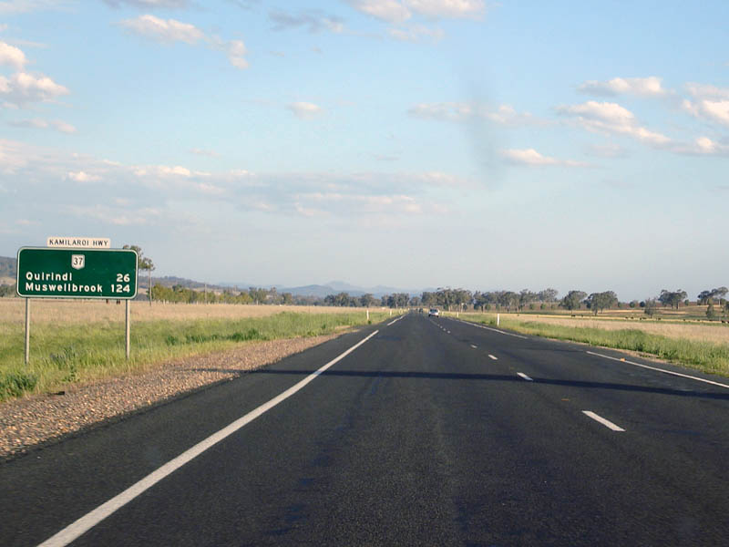 |
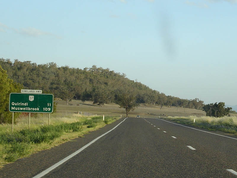
Distance Sign: Southbound RD sign after the Waverly and Gap Road intersections. October 2006. Image © Paul Rands |
|||
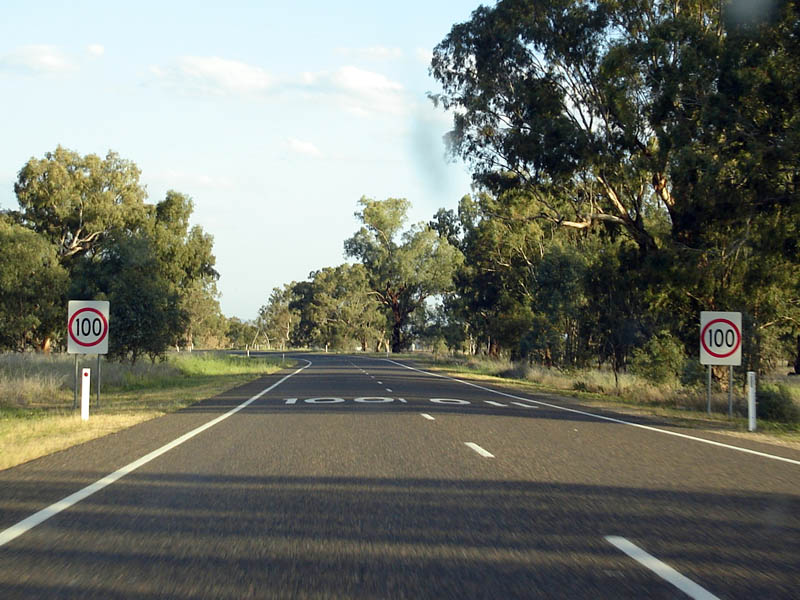 |
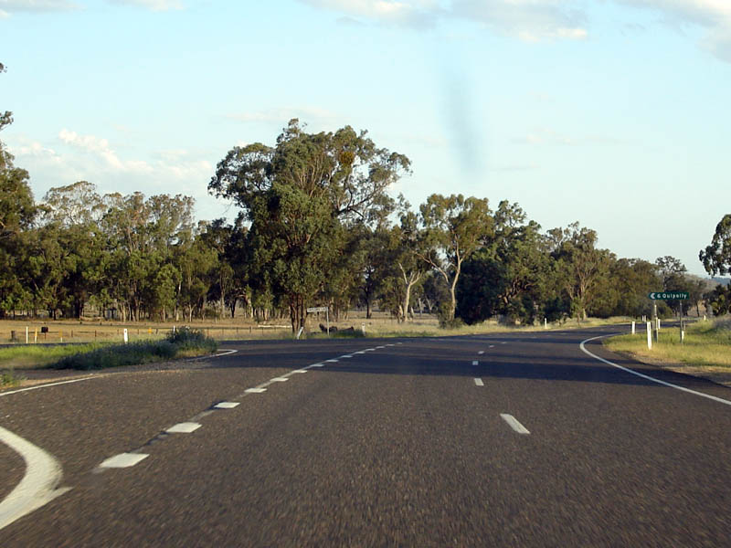
End 110km/h zone: Southbound at Quipolly. October 2006. Image © Paul Rands |
|||
 |
Quipollu: Kamilaroi Hwy (NR37) as it passes through the Quipolly area. October 2006. Image © Paul Rands |
|||
 |
Slacksmith Lane intersection: Southbound through the Slacksmith Lane junction at Quipolly. October 2006. Image © Paul Rands |
|||
 |
Entering Lower Quipolly: Southbound. October 2006. Image © Paul Rands |
|||
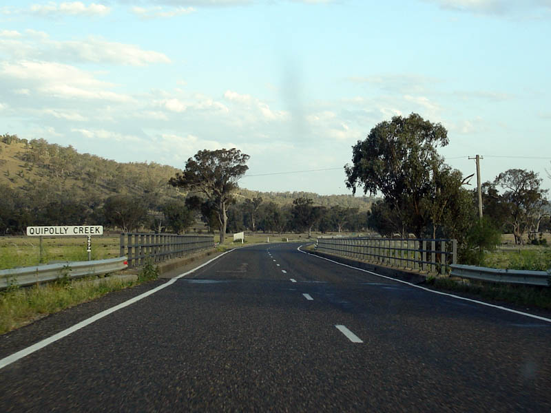 |
Crossing Quipolly Creek: Southbound at Lower Quipolly. October 2006. Image © Paul Rands |
|||
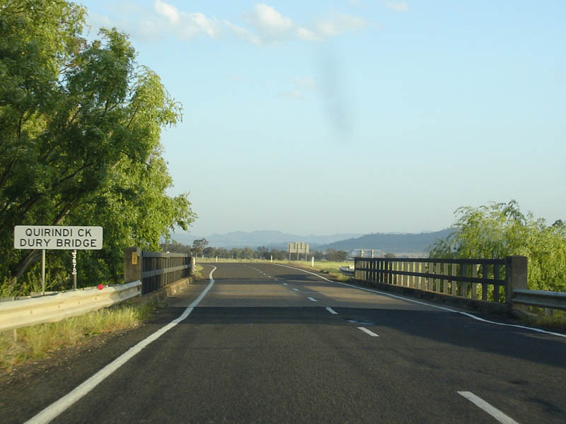 |
Quirindi Creek: Crossing Quirindi Creek at Lower Quipolly on Dury Bridge. October 2006. Image © Paul Rands |
|||
 |
Taylors Lane: Southbound through the Taylors Lane intersection at Lower Quipolly. October 2006. Image © Paul Rands |
|||
 |
Quirindi-Premer Road: Southbound at the Quirindi-Premer Road intersection at Lower Quipolly. October 2006. Image © Paul Rands |
|||
 |
Distance Sign: Southbound after the Quirindi-Premer Road intersection at Lower Quipolly. October 2006. Image © Paul Rands |
|||
 |
Advance Directional Sign: Southbound AD sign at Borambil for Pooles Lane. October 2006. Image © Paul Rands |
|||
 |
Pooles Lane Intersection: Borambil, southbound. October 2006. Image © Paul Rands |
|||
 |
Distance Sign: Southbound RD sign at Borambil, after Pooles Lane intersection. October 2006. Image © Paul Rands |
|||
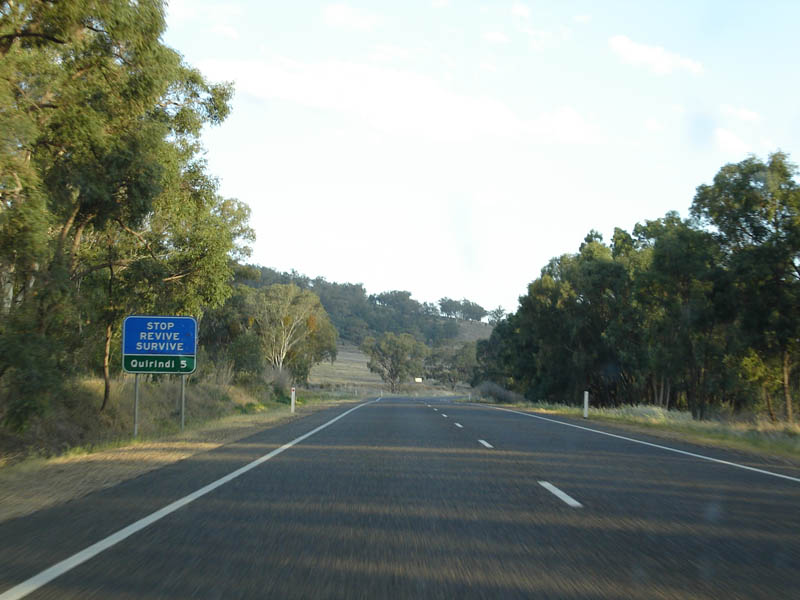 |
Stop Revive Survive Distance Sign: Sign urging motorists to stop for a rest at Quirindi, 5 km away. Southbound at Borambil. October 2006. Image © Paul Rands |
|||
 |
Borambil Road intersection: Southbound through the Borambil Road intersection at Borambil. October 2006. Image © Paul Rands |
|||
 |
Warrah Ridge Road Intersection: Southbound at Quirindi. October 2006. Image © Paul Rands |
|||
 |
Advance Directional Sign: Kamilaroi Hwy (NR37) approaching Loder St (TD25) in Quirindi. October 2006. Image © Paul Rands |
|||
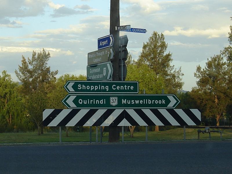 |
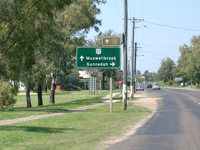
ID Sign Assembly: Collection of signs at the corner of Loder St (TD25) and Kamilaroi Hwy (NR37) at Quirindi. NR37 turns right at this junction and the TD25 duplex starts here. October 2006. The NR37 shield should right of the Muswellbrook legend on the sign. Image © Paul Rands |
|||
 |
Advance
Directional Sign AD sign at Quirindi on Loder St (TD25) heading south towards the connection with Kamilaroi Hwy (NR37). September 2005. Image © Paul Rands |
|||
 |
Loder Street & Kamilaroi Highway Corner of Loder St (TD25) and Kamilaroi Hwy (Lennox St) (NR37) at Quirindi. September 2005. Image © Paul Rands |
|||
 |
Distance
Sign, South Quirindi Southbound distance sign after the junction with Loder St (TD25) and Kamilaroi Hwy (Lennox St) (NR37) at Quirindi. September 2005. Image © Paul Rands |
|||
 |
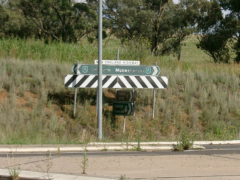
Advance Directional Sign AD sign at Willow Tree approaching New England Highway (NH15). Note the incorrect sheild on the sign. November 2005. Image © Paul Rands |
|||
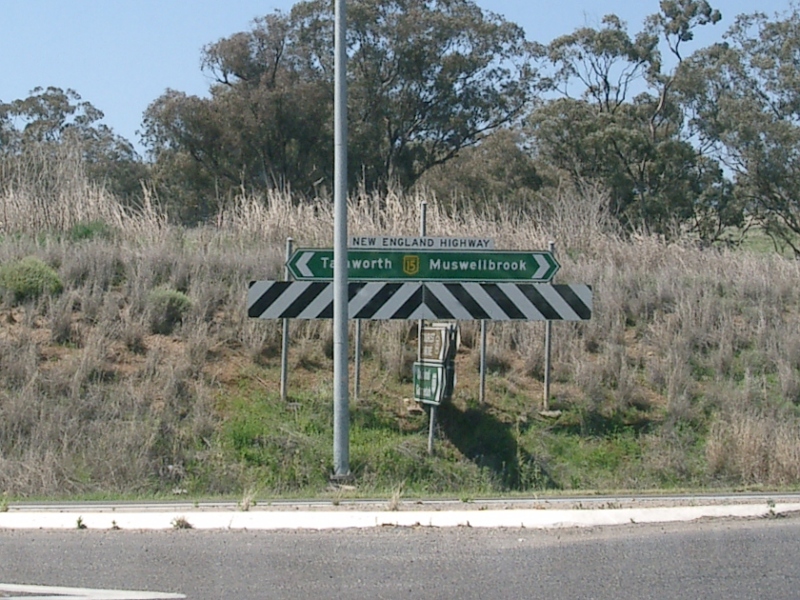 |
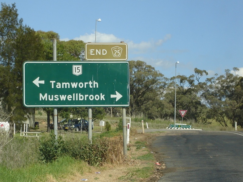
Eastern Terminus The eastern end of the Kamilaroi Highway at the junction with New England Highway (NH15) at Willow Tree. Click here for a photo from December 2004 of the old black sign that used to be in place at this junction. Image © Paul Rands |
|||
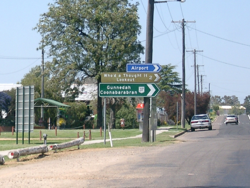
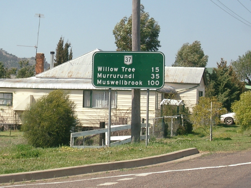
| Click here for the continuation of National Route 37 between Narrabri and Gunnendah | ||||
1 Roads & Traffic Authority, Schedule of Classified Roads and State & Regional Roads, January 2011
2 Roads & Traffic Authority, Annual Report 2000, November 2000, ISSN 1037-3276
Last updated: 17-Dec-2019 0:55
This site © Paul Rands. All rights reserved. Some portions © (copyright) by their respective and credited owners. Permission must be obtained before using any images from this site. For details, please email by clicking here.