|
|
|
|
|
 |
Oxley Highway (National Route 34) - Coonabarabran to Tamworth (Decommissioned) |
Statistics:
Route Numbering:


General Information:
National Route 34 is a rural highway that connects the coast with western New South Wales. It features several important towns along the route, and also crosses the Great Dividing Range.
The route is mostly single carriageway and undivided, except around Port Macquarie, Moonbi and Tamworth. At its eastern end, the route is quite windy because of the difficult terrain created by the Great Dividing Range, beyond Moonbi, the route generally passes through fairly flat terrain, except in the Coonabarabran area.
The Oxley Highway is named after explorer John Oxley, who was the first European to explore much of inland New South Wales in 1818. He crossed the southern end of the northern tableland and camped on the Apsley River in 1818 near the present Walcha.
Multiplexes along the route include:
History:
| Coonabarabran to Tamworth | Tamworth to Coonabarabran | |||
| Preview: | Description: | Preview: | Description: | |
 |
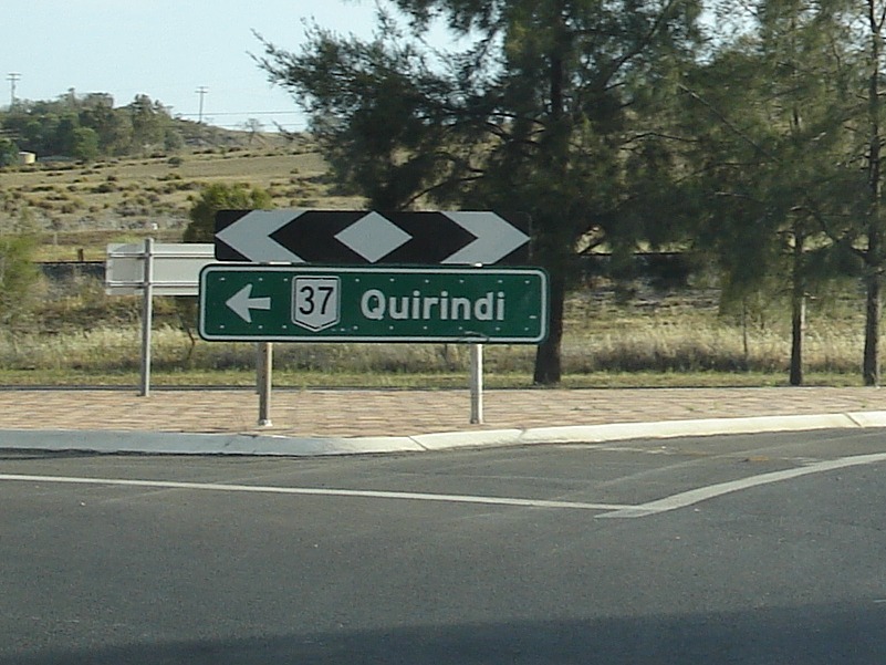
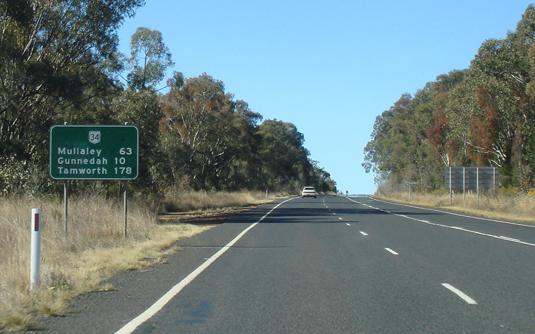
Distance Sign: RD sign near Coonabarabran, November 2010. Image © Rob Tilley |
 |
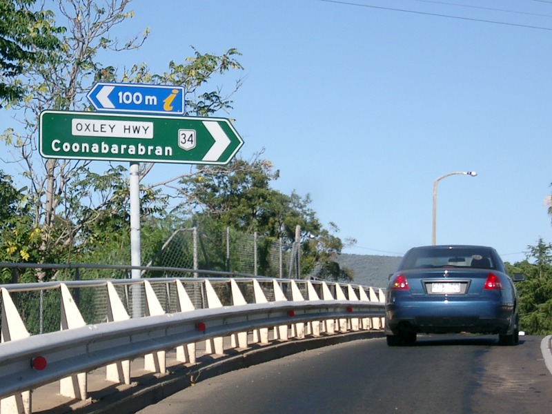
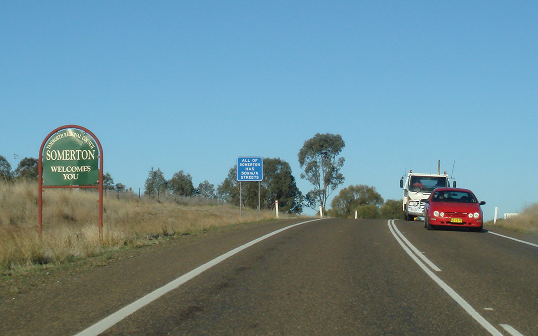
Advance Directional Sign: AD sign at Somerton approaching Manilla-Somerton Rd, December 2004. Image © Paul Rands |
|
 |
Safe-T-Cam: Newell Hwy (NH39 / NR34) at the Coonabarabran Safe-T-Cam, which monitors the movements of heavy vehicles, to ensure they're following various safety regulations, July 2006. Image © Paul Rands |
 |
Black Intersection Directional Sign: Black ID sign at Somerton at the junction with Manilla-Somerton Rd, December 2004. Image © Paul Rands |
|
 |
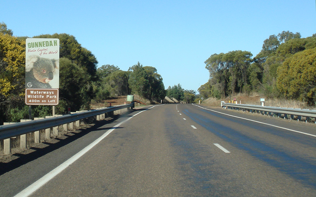
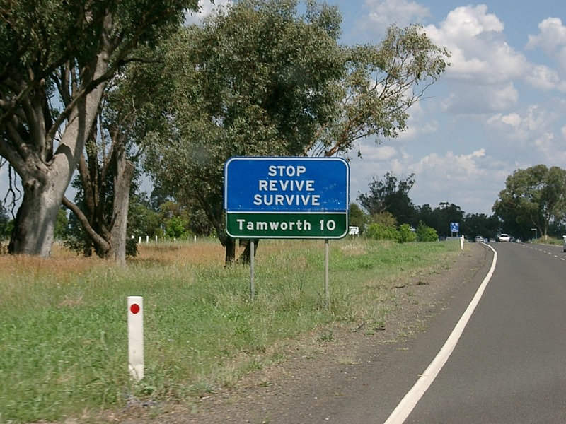
Services Sign: Services sign urging motorists to stop and rest in Coonabarabran, August 2011. Image © Paul Rands |
 |
Distance Sign: Reassurance directional sign as Oxley Hwy (NR34) leaves the Somerton town centre, December 2004. Image © Paul Rands |
|
 |
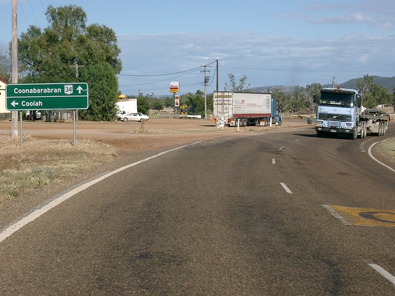
Entering Coonabarabran: Newell Hwy (NH39 / NR34) as it enters the town of Coonabarabran, November 2010. Image © Rob Tilley |
 |
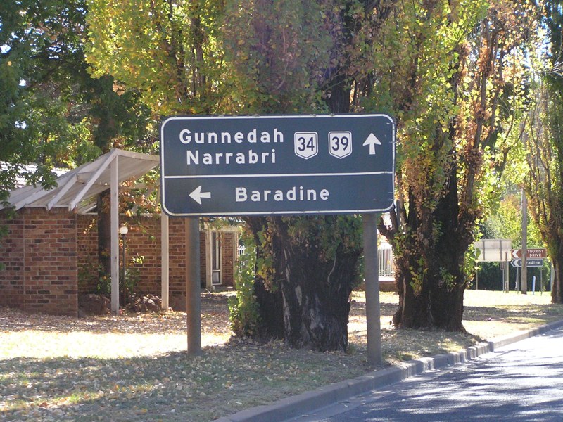
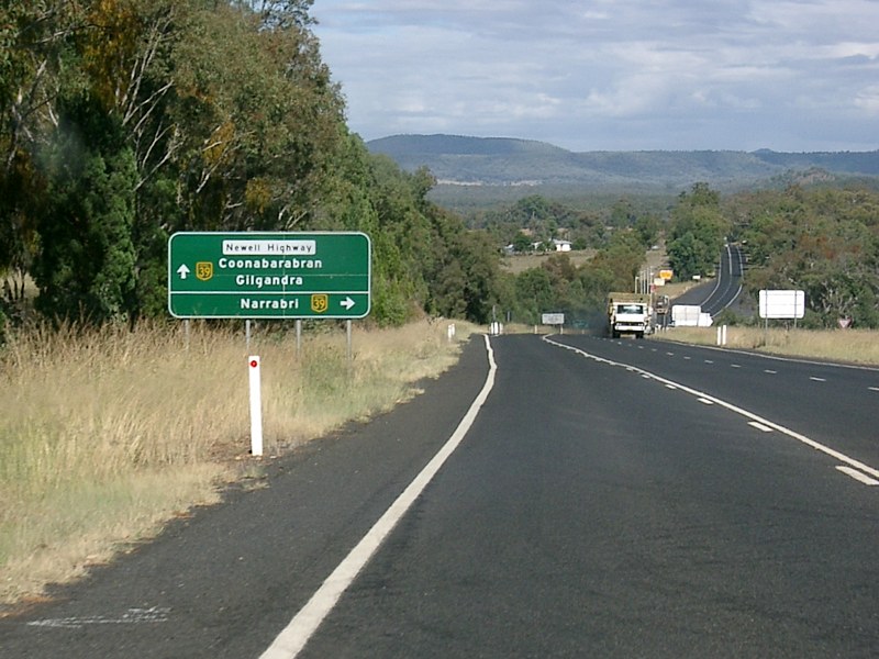
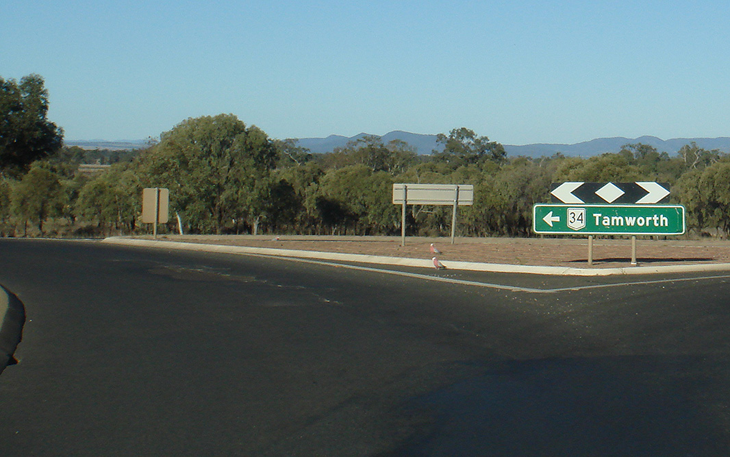
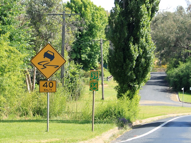
Advance Directional Sign: AD sign approaching the roundabout with Kamilaroi Hwy (NR37) at Gunnedah, April 2005. NR34 turns right at this junction. The NR37 duplex begins here as well. Note the missing NR37 shield on the Gunnedah side of the sign. Image © Paul Rands |
|
 |
Black Advance Directional Sign: Black AD sign in Coonabarabran approaching Edwards St, November 2010. Image © Rob Tilley |
 |
Kamilaroi Highway: Corner of Oxley Hwy (NR34) and Kamilaroi Hwy (NR37) at Gunnedah, October 2006. NR34 turns right at this junction. The NR37 duplex begins here as well. Image © Paul Rands |
|
 |
Black Intersection Directional Sign: Black ID sign in Coonabarabran at the junction with Edwards St, November 2010. Image © Rob Tilley |
 |
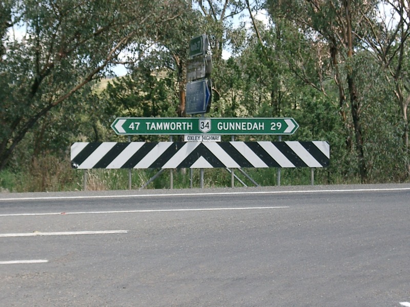
Distance Sign: Reassurance directional sign on the outskirts of Gunnedah, after the Kamilaroi Hwy (NR37) roundabout, April 2005. Image © Paul Rands |
|
 |
Coonabarabran Town Centre: Newell Hwy (NH39 / NR34) as it passes through the Coonabarabran town centre, April 2005. Image © Paul Rands |
 |
Entering Gunnedah Town Centre: Welcome sign as the Oxley Hwy (NR34) enters the town of Gunnedah, August 2005. Image © Paul Rands |
|
 |
Advance Directional Signs: Newer and old black advance directional signs approaching Dalgarno St (TD1) in Coonabarabran, November 2010. Image © Rob Tilley |
 |
Advance Directional Sign: AD sign on Oxley Hwy (NR34) approaching Abbott St and Kamilaroi Hwy (NR37), April 2005. Image © Paul Rands |
|
 |
Memorial Clock: Memorial clock located in the middle of the Dalgarno St (TD1) roundabout in Coonabarabran, November 2010. Image © Rob Tilley |
 |
Kamilaroi Highway & Abbott Street: Intersection directional sign assembly outside the Courthouse Hotel in Gunnedah at the junction with Kamilaroi Hwy (NR37) and Abbott St, April 2005. The NR37 duplex ends at this juncton. Image © Paul Rands |
|
 |
Intersection Directional Sign: ID sign assembly at the Dalgarno St (TD1) roundabout in Coonabarabran, November 2010. Image © Rob Tilley |
 |
Intersection Directional Sign: ID sign on the railway overpass at Gunnedah, near Abbott St, April 2005. Image © Paul Rands |
|
 |
Intersection Directional Sign: ID sign assembly at the Dalgarno St (TD1) roundabout in Coonabarabran, April 2005. Image © Paul Rands |
 |
Advance Directional Sign: AD sign approaching the roundabout with Marquis St in Gunnedah, April 2005. Image © Paul Rands |
|
 |
Castlereagh River: Oxley Hwy (NR34 / NH39) as it crosses Castlereagh River via Mary Jane Cain Bridge at Coonabarabran, August 2011. Image © Paul Rands |
 |
Advance Directional Sign: AD sign at Gunnedah approaching View St and New St, near Gunnedah Racecourse, April 2005. Image © Paul Rands |
|
 |
Supplemental Advance Directional Sign: Supplemental AD sign approaching White St (TD2) in Coonabarabran, November 2010. Image © Rob Tilley |
 |
Distance Sign: RD sign leaving Gunnedah, May 2005. Image © Rob Tilley |
|
 |
Advance Directional Sign: AD sign for North St in Coonabarabran, November 2010. Image © Rob Tilley |
 |
Interesection Directional Sign: ID sign assembly on the corner of the Oxley Highway and Grain Valley Road (Mullaley-Boggabri Road) at Mullaley, May 2005. Image © Rob Tilley |
|
 |
Black Advance Directional Sign: Black AD sign approaching White St (TD2) in Coonabarabran, April 2005. Image © Rob Tilley |
 |
Advance Directional Sign: AD sign in the Mullaley town centre approaching Mullaley-Coolah Rd, April 2005. Image © Paul Rands |
|
 |
White Street: Newell Hwy (NH39 / NR34) at the junction with White St (TD2) in Coonabarabran, November 2010. Image © Rob Tilley |
 |
Distance Sign: RD sign at Mullaley, May 2005. Image © Rob Tilley |
|
 |
North Street: Intersection directional sign at the North St junction in Coonabarabran, August 2011. Image © Paul Rands |
 |
Cox's Creek: Oxley Hwy (NR34) as it crosses Cox's Ck at Mullaley, May 2005. Image © Paul Rands |
|
 |
Trailblazer Assembly: Trailblazer assembly past North St in Coonabarabran, August 2011. Click here for a photo of this location by Rob Tilley from November 2010. Image © Paul Rands |
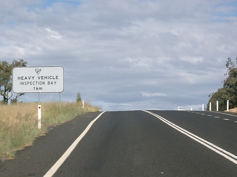 |
Heavy Vehicle Inspection Bay Sign: Sign about 1 km from the Newell Highway, for the heavy vehicle inspection bay at Coonabarabran, April 2005. Image © Paul Rands |
|
 |
Supplemental Advance Directional Sign: Supplemental AD sign approaching the Oxley Hwy (NR34) split at Coonabarabran, November 2010. NH39 turns left at this junction, ending the NR34 duplex. Image © Rob Tilley |
 |
Advance Directional Sign: AD sign on Oxley Hwy (NR34) approaching Newell Hwy (NH39) near Coonabarabran, April 2005. Note the missing NR34 shield beside the NH39 shield. The NH39 duplex starts at this junction. April 2005. Image © Paul Rands |
|
 |
Advance Directional Sign: AD sign approaching the Oxley Hwy (NR34) split at Coonabarabran, October 2004. NH39 turns left at this junction, ending the NR34 duplex. Image © Jamie Scuglia |
 |
Distance Sign: RD sign at Coonabarabran, October 2004. Note the missing NR34 shield beside the NH39 shield. Image © Jamie Scuglia |
|
 |
Intersection Directional Sign: ID sign at the Oxley Hwy (NR34) split at Coonabarabran, April 2005. NH39 turns left at this junction, ending the NR34 duplex. Image © Rob Tilley |
 |
Services Sign: Services sign at Coonabarabran urging motorist to take a break in the town, April 2005. Image © Paul Rands |
|
 |
Intersection Directional Sign: ID sign at the Oxley Hwy (NR34) split at Coonabarabran, November 2010. NH39 turns left at this junction, ending the NR34 duplex. Image © Rob Tilley |
 |
Services Sign: Services sign at Coonabarabran urging motorist to take a break in the town, April 2005. Image © Paul Rands |
|
 |
Reassurance Directional Sign: Distance sign at Coonabarabran, August 2011. Image © Paul Rands |
 |
Supplemental Advance Directional Sign: Supplemental AD sign for Dalgarno St (TD1) in Coonabarabran, May 2005. Image © Rob Tilley |
|
 |
Borah Creek Road: Corner of Oxley Hwy (NR34) and Borah Ck Rd at Rocky Glen, August 2011. Image © Paul Rands |
 |
Advance Directional Sign: AD sign for North St in Coonabarabran, May 2011. Image © Rob Tilley |
|
 |
Entering Rocky Glen: Oxley Hwy (NR34) as it enters the town of Rocky Glen, August 2011. Image © Paul Rands |
 |
White Street: Intersection directional sign at White St (TD2) in Coonabarabran, May 2011. Image © Rob Tilley |
|
 |
Wyuna Road: Corner of Oxley Hwy (NR34) and Wyuna Rd at Rocky Glen, August 2011. Image © Paul Rands |
 |
Trailblazer: Trailblazer assembly near White St in Coonabarabran, May 2011. Click here for a photo from April 2005 of the previous sign installation with NR39 shield. Image © Rob Tilley |
|
 |
Goolhi Road: Corner of Oxley Hwy (NR34) and Goolhi Rd at Goolhi, August 2011. Image © Paul Rands |
 |
Advance Directional Sign: AD sign for Dalgarno St (TD1) in Coonabarabran, April 2005. Image © Paul Rands |
|
 |
Goolhi: Oxley Hwy (NR34) as it passes through Goolhi with Mount Baloola in the distance, August 2011. Image © Paul Rands |
 |
Advance Directional Sign: AD sign on Dalgarno St (non TD1 section) in Coonabarabran approaching Newell Hwy (NH39 / NR34), November 2010. Image © Rob Tilley |
|
 |
Baloola Road: Corner of Oxley Hwy (NR34) and Baloola Rd at Nombi, August 2011. Image © Paul Rands |
 |
Memorial Clock: Memorial clock located in the middle of the Dalgarno St (TD1) roundabout in Coonabarabran, April 2005. Image © Rob Tilley |
|
 |
Advance Directional Sign: AD sign approaching Black Stump Way at Mullaley, August 2011. Image © Paul Rands |
 |
Advance Directional Sign: AD sign in Coonabarabran approaching Edwards St, May 2011. Click here for a photo from April 2005 of the previous sign installation. Note the incorrect NR39 shield (should be green and gold NH39). Image © Rob Tilley |
|
 |
Reassurance Directional Sign: Tourism-based distance sign at Mullaley, August 2011. Image © Paul Rands |
 |
Black Intersection Directional Sign: Black ID sign in Coonabarabran at the junction with Edwards St, August 2011. Image © Paul Rands |
|
 |
Entering Mullaley: Oxley Hwy (NR34) as it enters the town of Mullaley, August 2011. Image © Paul Rands |
|||
 |
Black Stump Way: Corner of Oxley Hwy (NR34) and Black Stump Way at Mullaley, August 2011. Image © Paul Rands |
|||
 |
Reassurance Directional Sign: Distance sign at Mullaley, August 2011. Image © Paul Rands |
|||
 |
Grain Valley Road: Corner of Oxley Hwy (NR34) and Grain Valley Rd, Mullaley, August 2011. Image © Paul Rands |
|||
 |
Services & Distance Sign: Combined services and distance sign at Gunnedah, August 2011. Image © Paul Rands |
|||
 |
Entering Gunnedah: Oxley Hwy (NR34) as it enters the town of Gunnedah, August 2011. Image © Paul Rands |
|||
 |
Advance Directional Sign: AD sign approaching New St and View St at Gunnedah, August 2011. Image © Paul Rands |
|||
 |
Advance Directional Sign: AD sign approaching the roundabout with Marquis St in Gunnedah, December 2002. Image © Michael Greenslade |
|||
 |
Marquis Street: Corner of Oxley Hwy (NR34) and Marquis St, Gunnedah, August 2011. Image © Paul Rands |
|||
 |
Anzac Parade & South Street: Corner of Oxley Hwy (NR34), Anzac Pde and South St, Gunnedah, August 2011. Image © Paul Rands |
|||
 |
Advance Directional Sign: AD sign approaching Kamilaroi Hwy (Conadilly St) (NR37) and Abbott St, Gunnedah, August 2011. Image © Paul Rands |
|||
 |
Kamilaroi Highway & Abbott Street: Intersection directional sign assembly in Gunnedah at the junction with Kamilaroi Hwy (NR37) and Abbott St, April 2005. The NR37 duplex begins at this juncton and NR34 turns right here. Image © Paul Rands |
|||
 |
Advance Directional Sign: AD sign on Kamilaroi Hwy (NR37) approaching Abbott St and Oxley Hwy (NR34), April 2005. Image © Paul Rands |
|||
 |
Kamilaroi Highway & Abbott Street: Intersection directional sign assembly in Gunnedah at the junction with Kamilaroi Hwy (NR37) and Abbott St, April 2005. The NR37 duplex begins at this juncton. Image © Paul Rands |
|||
 |
Advance Directional Sign: AD sign approaching the roundabout with Kamilaroi Hwy (NR37) at Gunnedah, April 2005. The NR37 duplex ends at this intersection. Image © Paul Rands |
|||
 |
Kamilaroi Highway: Corner of Oxley Hwy (NR34) and Kamilaroi Hwy (NR37) at Gunnedah, August 2011. NR34 turns left here. Image © Paul Rands |
|||
 |
Reassurance DIrectional Sign: Distance sign at Gunnedah, August 2011. Image © Paul Rands |
|||
 |
Mooki River: Oxley Hwy (NR34) as it crosses Mooki River via McDonagh Bridge at Gunnedah, August 2011. Image © Paul Rands |
|||
 |
Mooki River Overflow: Oxley Hwy (NR34) as it crosses Mooki River Overflow via McDonagh Bridge at Gunnedah, August 2011. Image © Paul Rands |
|||
 |
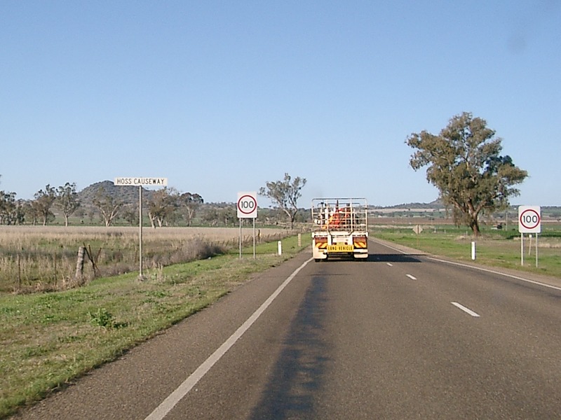
Hoss Causeway: Oxley Hwy (NR34) at the Hoss Causeway just outside the village of Carroll. August 2011. Click here for a photo of this location by Paul Rands from August 2005. Image © Paul Rands |
|||
 |
Tommy Swamp: Oxley Hwy (NR34) passing over Tommy Swamp at Carroll, August 2011. Image © Paul Rands |
|||
 |
Custom Local Speed Limit Sign: Non-standard local speed limit sign at Carroll, August 2011. Image © Paul Rands |
|||
 |
Entering Carroll: Oxley Hwy (NR34) as it enters the town of Carroll, August 2011. Image © Paul Rands |
|||
 |
Clifton Road: Corner of Oxley Hwy (NR34) and Clifton Rd, Carroll, August 2011. Image © Paul Rands |
|||
 |
Carroll: Oxley Hwy (NR34) passing through the town of Carroll, August 2011. Image © Paul Rands |
|||
 |
Advance Directional Sign: AD sign approaching Rushes Creek Rd at Carroll, August 2011. Image © Paul Rands |
|||
 |
Supplemental Advance Directional Sign: Supplemental AD sign approaching Rushes Creek Rd at Carroll, August 2011. Image © Paul Rands |
|||
 |
Rushes Creek Road: Corner of Oxley Hwy (NR34) and Rushes Ck Rd, Somerton, August 2011. Image © Paul Rands |
|||
 |
Intersection Directional Sign: ID sign on facing Rushes Ck Rd in Somerton, December 2004. The text shouldn't be all capitals. Image © Paul Rands |
|||
 |
Oxley Highway from 2700 feet: Looking towards Somerton, this is Oxley Highway from a glider near Lake Keepit. August 2005. Image © Paul Rands |
|||
 |
Entering Somerton: Oxley Hwy (NR34) as it enters the town of Somerton, August 2011. Image © Paul Rands |
|||
 |
Black Intersection Directional Sign: Black ID sign at Somerton at the junction with Manilla-Somerton Rd, December 2004. Image © Paul Rands |
|||
 |
Distance Sign: Reassurance directional sign as Oxley Hwy (NR34) leaves the Somerton town centre, August 2011. Image © Paul Rands |
|||
 |
Distance Sign: Reassurance directional sign as Oxley Hwy (NR34) passes through Wallamore near Tamworth Airport, December 2004. Image © Paul Rands |
|||
 |
New Winton Road: Corner of Oxley Hwy (NR34) and New Winton Rd at Wallamore, August 2011. Image © Paul Rands |
|||
| Click here for the continuation of NR34 between Tamworth and Bendemeer Click here for the continuation of NR34 between Gilgandra and Coonabarabran |
||||
1 Roads and Traffic Authority, Schedule of Classified Roads and State & Regional Roads, 31 January 2011
2 Department of Main Roads, Historical Roads of New South Wales, Oxley Highway, Extract from March 1953 issue of "Main Roads" journal.
3 Department of Main Roads, The Roadmakers, A History of Main Roads in New South Wales, ISBN 0 7240 0439 4
Last updated: 19-Oct-2021 0:34
This site © Paul Rands. All rights reserved. Some portions © (copyright) by their respective and credited owners. Permission must be obtained before using any images from this site. For details, please email by clicking here.