|
|
|
|
|
| M31 | Hume Motorway & Hume Highway (M31) - Wilton to Berrima |
Statistics:
Route Numbering:


General Information:
The Hume Highway is one of Australia's most vital highway links. Providing access between Sydney and Melbourne, Australia's 2 largest cities. The National Highway section of the Hume Highway consists of 100% dual carriageway road, either rural expressway or motorway standard.
In NSW, the highway in one form or another started life as the Great South Road, linking Sydney with the southern highlands and eventually beyond. The highway was named in 1928 after Hamilton Hume (1797-1873), a famous explorer in the early 19th century who, in 1824, in conjunction with William Hovell first found an overland route between Sydney and the infant colonial outpost of Port Phillip, the original name of Melbourne.
M31 is the main freight and commuter route between Sydney and Melbourne and has gone through a massive amount of transformation over the past 30 or so years, with many towns being bypassed along its route as well and gradual upgrades to motorway standards. Since the 1960s, the road has either been duplicated, where alignments allow for it, and also large deviations have also been part of the upgrade process.
The route around the Mittagong area averages around 16,000 vehicles every day, in other sections the number drops off a little or closer to Sydney increases.2
The route forms the Remembrance Driveway which honors war veterans, click here for the Remembrance Driveway web site.
Here are some interesting statistics on the Hume Highway: 1
History:
| Wilton To Berrima | Berrima To Wilton | |||
| Preview: | Description: | Preview: | Description: | |
 |
Reassurance Directional Sign: Distance sign at Pheasants Nest, September 2013. Image © Paul Rands |
 |
Reassurance Directional Sign: Distance sign at Berrima, November 2013. Image © Paul Rands |
|
 |
Services Sign: Advance directional sign for Pheasants Nest Service Centre, September 2013. Image © Paul Rands |
 |
Advance Directional Sign: AD sign at Woodlands approaching Old Hume Hwy, November 2013. Image © Paul Rands |
|
 |
Services Sign: Advance directional sign for Pheasants Nest Service Centre, September 2013. Image © Paul Rands |
 |
Advance Directional Sign: AD sign at Woodlands approaching Old Hume Hwy, November 2013. Image © Paul Rands |
|
 |
Pheasants Nest Service Centre: Southbound service centre at Pheasants Nest, September 2013. Image © Paul Rands |
 |
Old Hume Highway: Old Hume Hwy interchange at Woodlands, November 2013. Image © Paul Rands |
|
 |
Advance Directional Sign: AD sign approaching Avon Dam Rd, Pheasants Nest, November 2013. Image © Paul Rands |
 |
Advance Directional Sign: AD sign at Colo Vale approaching Church Av and Old Hume Hwy (TD12), November 2013. Image © Paul Rands |
|
 |
Supplemental Advance Directional Sign: Supplemental AD sign approaching Avon Dam Rd, Bargo, November 2013. Image © Paul Rands |
 |
Church Avenue Interchange: Hume Hwy (M31) at the Church Av / Old Hume Hwy (TD12) interchange at Colo Vale, November 2013. Image © Paul Rands |
|
 |
Advance Directional Sign: AD sign approaching Avon Dam Rd, Bargo, November 2013. Image © Paul Rands |
 |
Advance Directional Sign: Image © Paul Rands |
|
 |
Supplemental Advance Directional Sign: Supplemental AD sign approaching Avon Dam Rd, Bargo, November 2013. Image © Paul Rands |
 |
Reassurance Directional Sign: Distance sign at Alpine, November 2013. Image © Paul Rands |
|
 |
Avon Dam Road Interchange: Hume Mwy (M31) at the Avon Dam Rd interchange in Bargo, November 2013. Image © Paul Rands |
 |
Advance Directional Sign: AD sign at Yerrinbool for Rememberance Dr interchange, December 2013. |
|
 |
Avon Dam Road: Hume Mwy (M31) as it passes under Avon Dam Rd at Bargo, September 2013. Image © Paul Rands |
 |
Advance Directional Sign: AD sign at Yerrinbool approaching Remembrance Dr (former Hume Hwy) interchange, November 2013. Image © Paul Rands |
|
 |
Distance Sign: RD sign at Bargo, September 2013. Image © Paul Rands |
 |
Remembrance Drive: Hume Hwy (M31) at the Remembrance Dr interchange at Yanderra, November 2013. Image © Paul Rands |
|
 |
RD sign: Distance sign at Yerrinbool, September 2013. Image © Paul Rands |
 |
Distance Sign: RD sign at Bargo, November 2013. Image © Paul Rands |
|
 |
No Stopping On Freeway: Unusual no stopping on freeway sign at Yerrinbool, September 2013. Image © Paul Rands |
 |
Services Sign: Advance directional sign for Pheasants Nest Service Centre, December 2013. Image © Paul Rands |
|
 |
Tourism Reassurance Directional Sign: Tourism region distance sign at Yerrinbool, November 2013. Image © Paul Rands |
 |
Services Sign: Services sign at Pheasants Nest approaching Kenna VC Rest Area, December 2013. Image © Paul Rands |
|
 |
Sierra Street: Hume Mwy (M31) as it passed under Sierra St, Yerrinbool, September 2013. Image © Paul Rands |
 |
Services Sign: Advance directional sign for Pheasants Nest Service Centre, December 2013. Image © Paul Rands |
|
 |
Advance Directional Sign: AD sign at Yerrinbool, approaching Church Av, September 2013. Image © Paul Rands |
 |
Pheasants Nest Service Centre: Hume Mwy (M31) at the interchange to Pheasants Nest Service Centre and the Kenna VC Rest Area, December 2013. Image © Paul Rands |
|
 |
Advance Directional Sign: AD sign at Alpine, approaching Church Av, November 2013. Image © Paul Rands |
 |
Pheasants Nest Service Centre: Hume Mwy (M31) at the interchange to Pheasants Nest Service Centre and the Kenna VC Rest Area, December 2013. Image © Paul Rands |
|
 |
Supplemental Advance Directional Sign: Supplemental AD sign at Alpine, approaching Church Av, November 2013. Image © Paul Rands |
 |
Distance Sign: RD sign at Pheasants Nest, November 2013. Image © Paul Rands |
|
 |
Church Avenue Interchange: Hume Mwy (M31) at the Church Av interchange at Alpine, November 2013. Image © Paul Rands |
 |
Supplemental Advance Directional Sign: Supplemental AD sign at Pheasants Nest for the Picton Rd (B88) interchange, December 2013. Image © Paul Rands |
|
 |
Supplemental Advance Directional Sign: Supplemental AD sign at Alpine near Church Av for the Old Hume Hwy (B73) interchange, November 2013. Image © Paul Rands |
 |
Supplemental Advance Directional Sign: Supplemental AD sign at Pheasants Nest for the Picton Rd (B88) interchange, December 2013. Image © Paul Rands |
|
 |
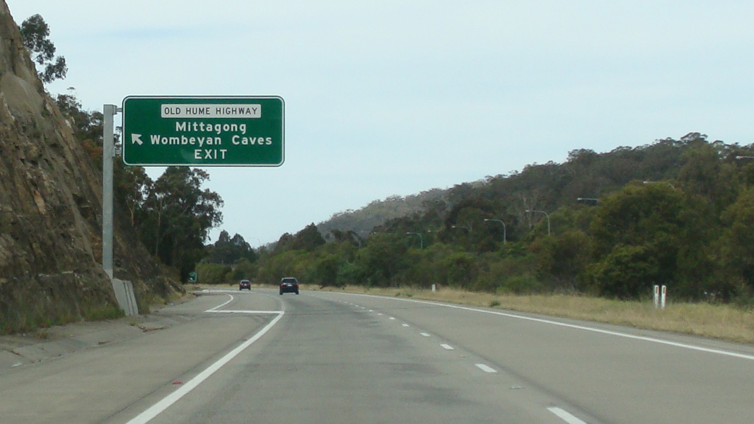
Advance Directional Sign: AD sign at Aylmerton approaching Old Hume Hwy (B73), November 2013. Image © Paul Rands |
 |
Advance Directional Sign: AD sign at Pheasants Nest for the Picton Rd (B88) interchange, December 2013. Image © Paul Rands |
|
 |
Bypassed Town Sign: Bypassed town sign at Aylmerton approaching Old Hume Hwy (B73), September 2013. Image © Paul Rands |
 |
Services Sign: Services sign at Pheasants Nest approaching Picton Rd (B88) interchange, December 2013. Image © Paul Rands |
|
 |
Supplemental Advance Directional Sign: Supplemental AD sign at Aylmerton for the Old Hume Hwy (B73) interchange, November 2013. Image © Paul Rands |
 |
Advance Directional Sign: AD sign at Pheasants Nest for the Picton Rd (B88) interchange, December 2013. Image © Paul Rands |
|
 |
Advance Directional Sign: AD sign at Aylmerton approaching Old Hume Hwy (B73), November 2013. Image © Paul Rands |
 |
Nepean River: Hume Mwy (M1) as it crosses Nepean River via Pheasants Nest Bridge, December 2013. Image © Paul Rands |
|
 |
Old Hume Highway Interchange: Hume Mwy (M31) at the Old Hume Hwy (B73) interchange at Aylmerton, September 2013. Image © Paul Rands |
|||
 |
Reassurance Directional Sign: Distance sign at Mittagong, November 2013. Image © Paul Rands |
|||
 |
Wingecarribee River: Hume Mwy (M31) as it passes over Wingecarribee River at Berrima, September 2013. Image © Paul Rands |
|||
 |
Advance Directional Sign: AD sign approaching Medway Rd, Berrima, September 2013. Image © Paul Rands |
|||
 |
Services Sign: Services sign at Berrima, approaching Medway Rd, November 2013. Image © Paul Rands |
|||
 |
Advance Directional Sign: AD sign approaching Medway Rd, Berrima, November 2013. Image © Paul Rands |
|||
 |
Medway Road Interchange: Hume Mwy (M31) as it passes through the Medway Rd interchange in Berrima, September 2013. Image © Paul Rands |
|||
 |
Freeway Green End Freeway Sign: 1980s end freeway sign approaching the end of limited access conditions along Hume Mwy (M31) at Berrima, September 2013. This sign has since been removed. Image © Paul Rands |
|||
 |
Freeway Green End Freeway Sign: 1980s end freeway sign approaching the end of limited access conditions along Hume Mwy (M31) at Berrima, September 2013. This sign has since been removed. Image © Paul Rands |
|||
 |
Freeway Green End Freeway Sign: 1980s end freeway sign approaching the end of limited access conditions along Hume Mwy (M31) at Berrima, September 2013. This is where the route changes name to Hume Highway. This sign has since been removed. Image © Paul Rands |
|||
| Click here for the continuation of M31 between Berrima and Goulburn Click here for the continuation of M31 between Prestons and Wilton |
||||
1 Roads and Maritime Services
2 Department of Main Roads. The Roadmakers, A History of Main Roads in New South Wales, ISBN 0 7240 0439 4
3 Department of Infrastructure, Transport, Regional Development and Local Government
4 Berrima Business Houses
Last updated: 26-Oct-2018 22:27
This site © Paul Rands. All rights reserved. Some portions © (copyright) by their respective and credited owners. Permission must be obtained before using any images from this site. For details, please email by clicking here.