| |
| |
 |
Intersection
Directional Sign:
ID sign assembly at the junction with Pacific Hwy (A1) at South
Grafton, August 2013.
Image © Peter Renshaw
|
|
 |
Intersection
Directional Sign:
ID sign facing Gladys Creek Rd at The Risk, July 2018.
Image © Rob Tilley
|
 |
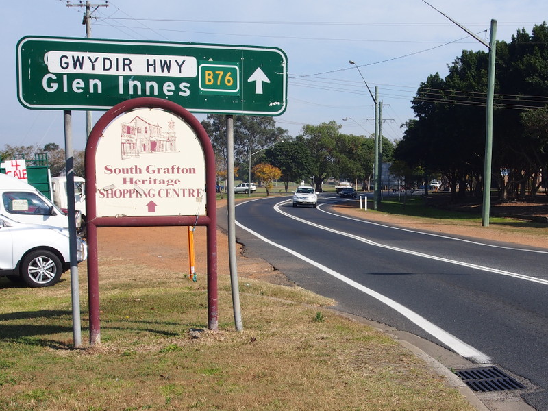
Advance Directional
Sign:
AD sign approaching the roundabout with Ryan St and Gwydir Hwy (B76)
at South Grafton, August 2013. The B76 duplex ends at this junction.
Image © Peter Renshaw
|
|
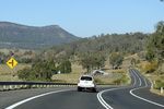 |
Dourrigans Gap:
Dourigans Gap at The Risk, July 2018.
Image © Rob Tilley
|
 |
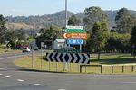
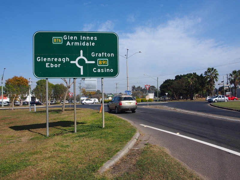
Intersection
Directional Sign:
ID sign at the roundabout with Ryan St and Gwydir Hwy (B76) at South
Grafton, August 2013. The B76 duplex ends at this junction.
Image © Peter Renshaw
|
|
 |
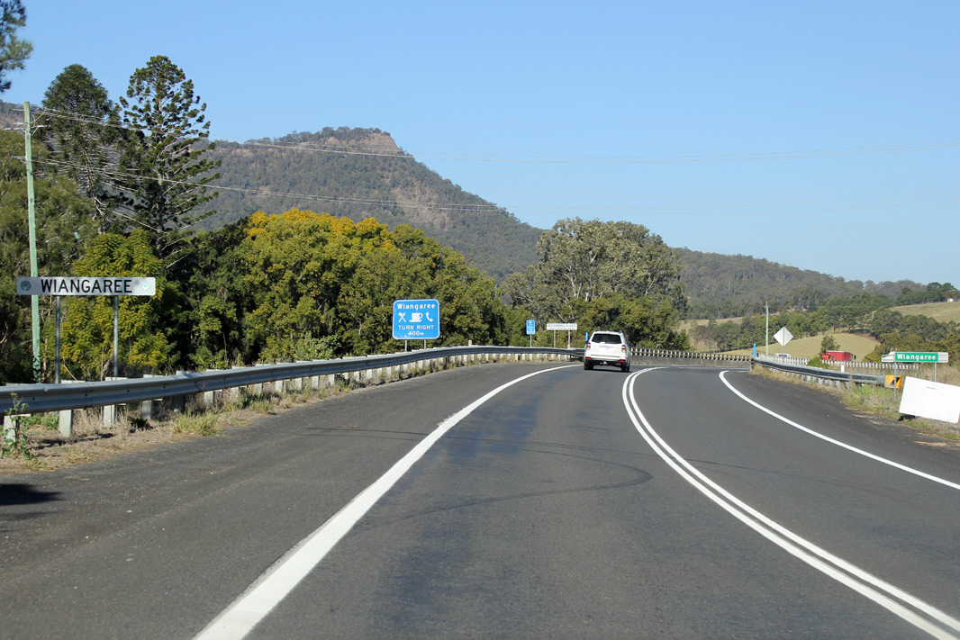
Entering Wiangaree:
Summerland Way (B91) as it enters the town of Wiangaree, July 2018.
Image © Rob Tilley
|
 |
Intersection
Directional Sign:
ID sign at the roundabout with Ryan St and Gwydir Hwy (B76) at South
Grafton, August 2013. The B76 duplex ends at this junction.
Image © Peter Renshaw
|
|
 |
Richmond River:
Summerland Way (B91) as it crosses Richmond River via Jenny
Constable Bridge at Wiangaree, July 2018.
Image © Rob Tilley
|
 |
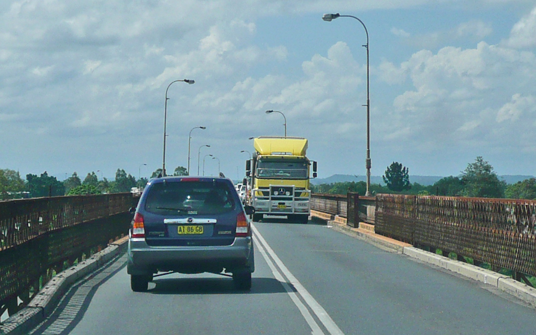
Clarence River:
Summerland Way (B91) at South Grafton, as it crosses Clarence River
via the bascule span Grafton Bridge, which also carries the North
Coast Railway on a deck underneath, December 2013.
Image © Michael Greenslade
|
|
 |
Intersection
Directional Sign:
ID sign assembly at the junction with Lynches Ck Rd at Wiangaree,
July 2018.
Image © Rob Tilley
|
 |
Intersection
Directional Sign:
ID sign assembly facing Clarence Way at Mountain View, August 2013.
Image © Peter Renshaw
|
|
 |
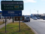
Reassurance Directional
Sign:
Distance sign at Kyogle, July 2018.
Image © Rob Tilley
|
 |
Advance Directional
Sign:
AD sign at Kyogle approaching Kyogle Rd and Anzac Dr, July 2018.
Image © Rob Tilley
|
|
 |
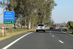
Collins Creek Road:
Summerland Way (B91) at the junction with Collins Ck Rd at Kyogle,
July 2018.
Image © Rob Tilley
|
 |
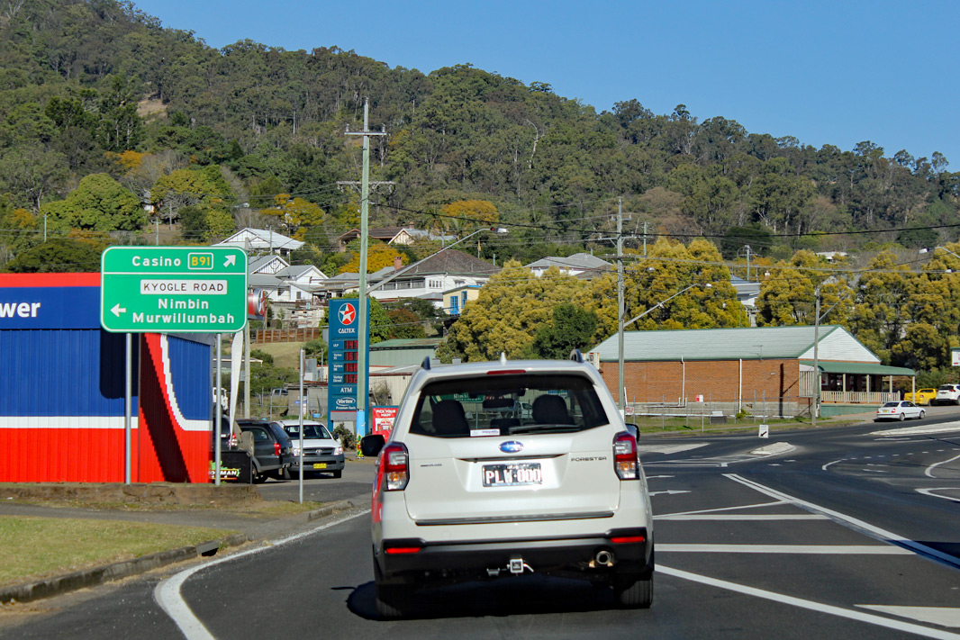
Intersection
Directional Sign:
ID sign at the corner of Summerland Way (B91), Kyogle Rd and Anzac
Dr, Kyogle, July 2018.
Image © Rob Tilley
|
|
 |
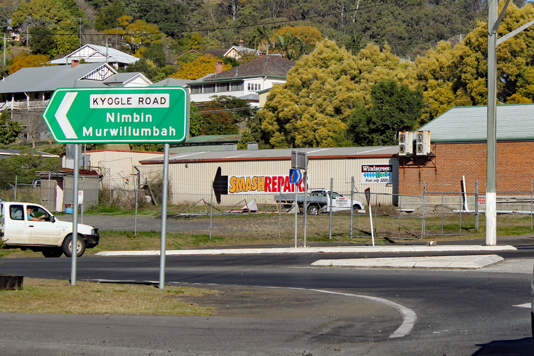
Entering Kyogle:
Summerland Way (B91) as it enters the town of Kyogle, July 2018.
Image © Rob Tilley
|
| |
|
|
 |
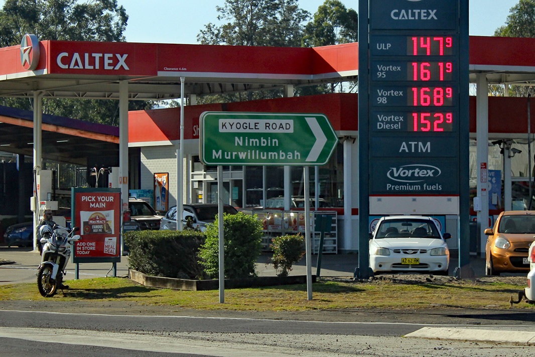
Advance Directional
Sign:
AD sign at Kyogle approaching Kyogle Rd and Anzac Dr, July 2018.
Image © Rob Tilley
|
| |
|
|
 |
Intersection
Directional Sign:
ID sign at the corner of Summerland Way (B91), Kyogle Rd and Anzac
Dr, Kyogle, July 2018.
Image © Rob Tilley
|
| |
|
|
 |
Intersection
Directional Sign:
ID sign at the corner of Summerland Way (B91), Kyogle Rd and Anzac
Dr, Kyogle, July 2018.
Image © Rob Tilley
|
|
|
|

|
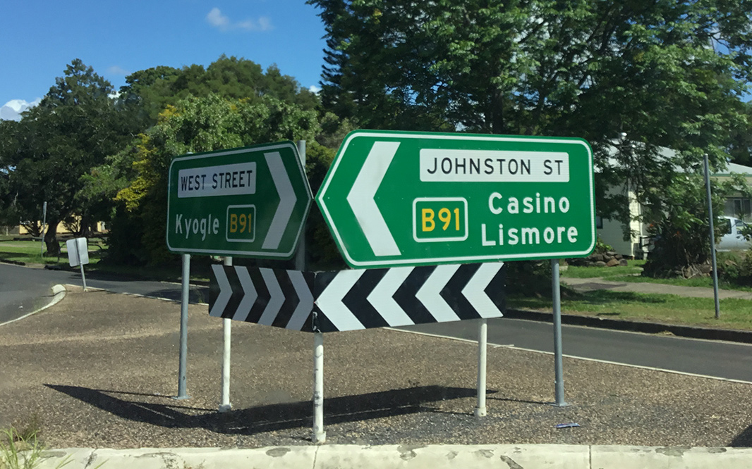
Intersection
Directional Sign:
ID sign at the junction with West St (unnumbered) at Casino, April
2019. B91 turns left at this location.
Image © Dean Sherry
|
|
|
|

|
Advance
Directional Sign:
AD sign at Casino approaching Bruxner Hwy (B60), April 2019.
Image © Dean Sherry
|


