|
|
|
|
|
| B58 | Riverina Highway (B58) |
Statistics:
Route Numbering:

General Information:
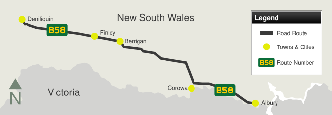
B58 is a rural highway in southern New South Wales, which traverses within a few kilometres of the Victorian border in many instances.
The route acts as a connector, joining not only several towns in the Riverina region but also major highways such as the Cobb Hwy (B75) and the Newell Hwy (A39).
Multiplexes along the route include:
| Albury to Deniliquin | Deniliquin to Albury | |||
| Preview: | Description: | Preview: | Description: | |
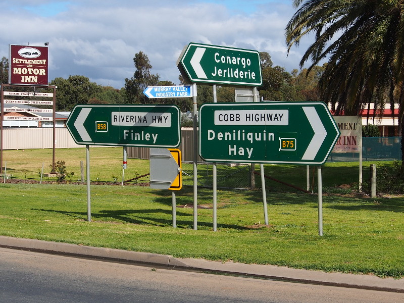 |
Intersection
Directional Sign: ID sign assembly facing Wanderer St, Deniliquin, August 2013. The B75 sign should be prefixed with 'To'. Image © Peter Renshaw |
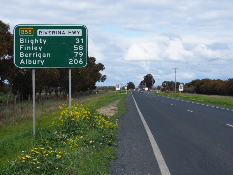 |
Distance
Sign: Reassurance directional sign on Riverina Hwy (B58) as it leaves Deniliquin, August 2013. Note the incorrect coloured box around the route number. Image © Peter Renshaw |
|
1 Roads & Maritime Services, Schedule of Classified Roads and Unclassified Regional Roads, August 2013.
Last updated: 23:43:30 30/10/2013.
This site © Paul Rands. All rights reserved. Some portions © (copyright) by their respective and credited owners. Permission must be obtained before using any images from this site. For details, please email by clicking here.