|
|
|
|
|
| B52 | Kings Highway (B52) |
Statistics:
Route Numbering:

General Information:
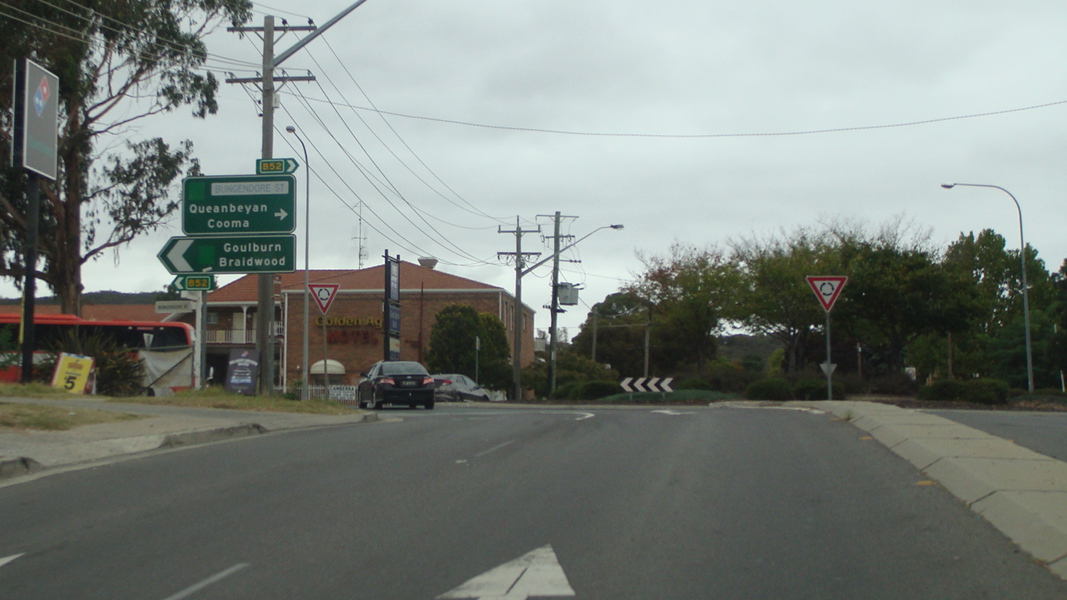
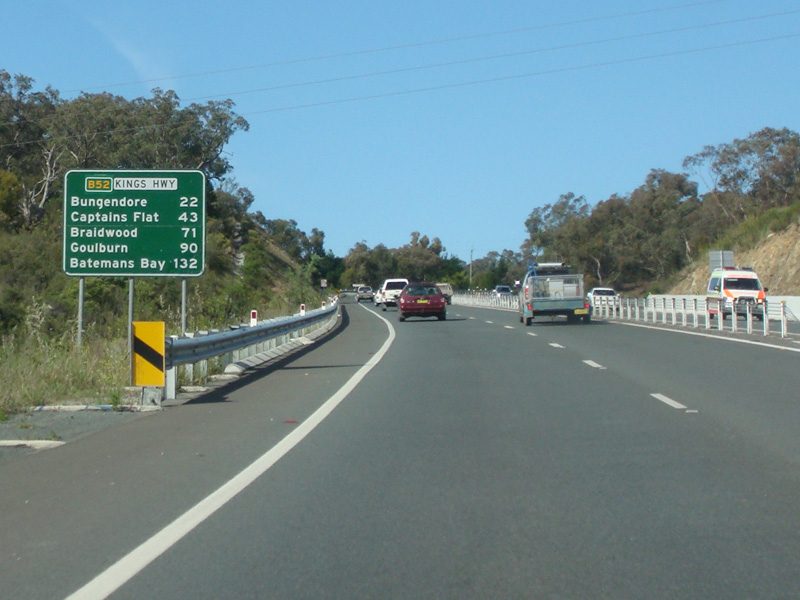
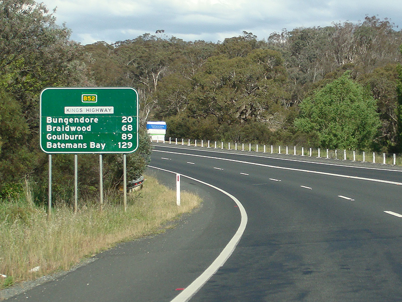
The Kings Highway is the main road from the ACT to the NSW south coast, travelling through Queanbeyan and several small NSW towns, connecting with the Princes Highway on the coast at Batemans Bay. It is one lane each way for the majority of its length with occasional overtaking lanes throughout. The route is mostly dual carriageway through Queanbeyan.
B52 is crosses the ACT border and returns to NSW after a few kilometres, northeast of Queanbeyan, before crossing back into the ACT west of Queanbeyan.
History:

| Batemans Bay to ACT Border | ACT Border to Batemans Bay | |||
| Preview: | Description: | Preview: | Description: | |
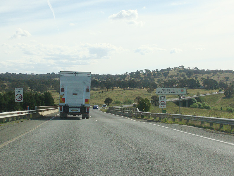 |
ACT-NSW Border: Kings Hwy (B52) as it crosses from the ACT into NSW at Carwoola, November 2013. Image © Paul Rands |
 |
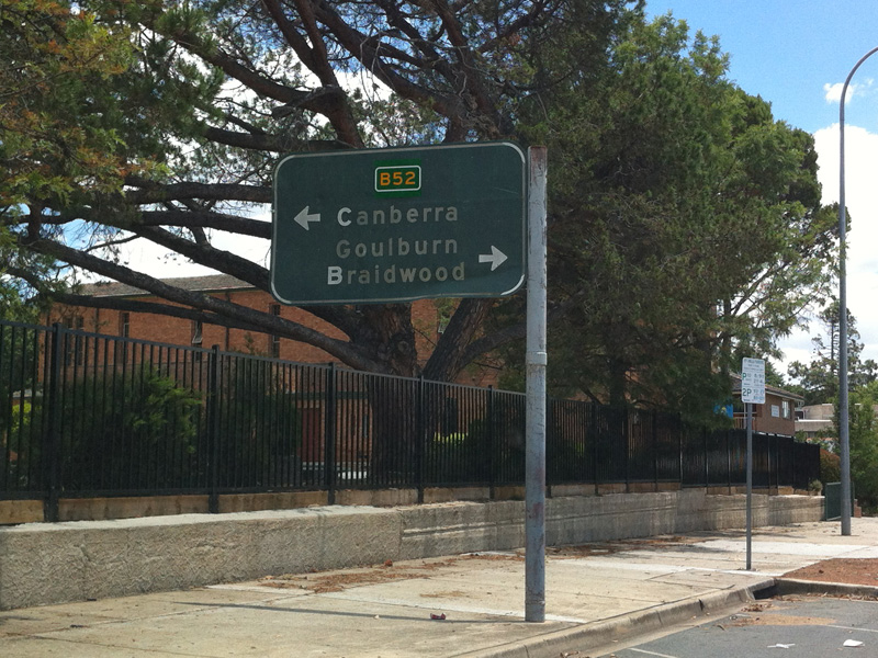
Intersection Directional Sign : ID sign with topknot at Lanyon Dr, Queanbeyan, November 2013. Image © Paul Rands |
|
 |
Molonglo RIver: Kings Hwy (B52) as it crosses Molonglo River via Burbong Bridge at Carwoola, November 2013. Image © Paul Rands |
 |
Advance Directional Sign : AD sign approaching Lowe St, Queanbeyan, November 2013. Image © Paul Rands |
|
 |
Advance Directional Sign: AD sign with incorrect blank coverplate over the route number approaching Captains Flat Rd in Carwoola, November 2013. Image © Paul Rands |
 |
Advance Directional Sign : AD sign approaching Collett St interchange, Queanbeyan, November 2013. Image © Paul Rands |
|
 |
Captains Flat Road : ID sign with incorrect blank coverplate over the route number on the roundabout with Captains Flat Rd in Carwoola, November 2013. Image © Paul Rands |
 |
Advance Directional Sign : AD sign on Atkinson St, Queanbeyan, approaching Kings Hwy (B52), November 2013. Image © Paul Rands |
|
 |
Captains Flat Road : ID sign with incorrect blank coverplate over the route number on the roundabout with Captains Flat Rd in Carwoola, November 2013. Image © Paul Rands |
 |
Reassurance Directional Sign : RD sign as Kings Hwy (B52) climbs Bungendore Hill at Queanbeyan, November 2013. Image © Paul Rands |
|
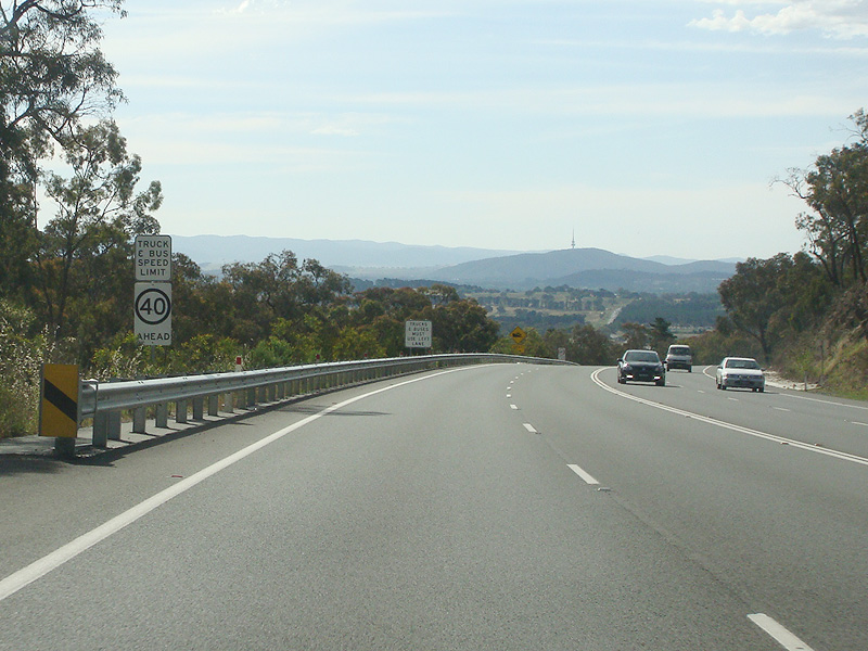 |
Truck & Bus Speed Limit Ahead: Speed reduction required for heavy vehicles as Kings Hwy (B52) descends Bungendore Hill into Queanbeyan, November 2013. Image © Paul Rands |
 |
Advance Directional Sign: AD sign with incorrect blank coverplate over the route number approaching Captains Flat Rd in Carwoola, November 2013. Image © Paul Rands |
|
 |
Bungendore Hill: Kings Highway (B52) as it descends Bungendore Hill into Queanbeyan, November 2013. Image © Paul Rands |
 |
Captains Flat Road : ID sign with incorrect blank coverplate over the route number on the roundabout with Captains Flat Rd in Carwoola, November 2013. Image © Paul Rands |
|
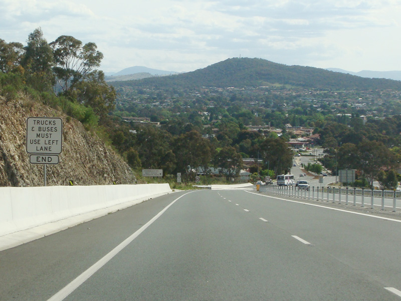 |
Bungendore Hill: Kings Highway (B52) as it descends Bungendore Hill into Queanbeyan, November 2013. Image © Paul Rands |
 |
Reassurance Directional Sign : RD sign as Kings Hwy (B52) at Carwoola, November 2013. Image © Paul Rands |
|
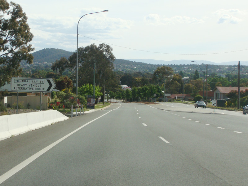 |
Thurralilly Street : Corner of Kings Hwy (B52) and Thurralilly St, Queanbeyan, November 2013. Thurralilly St acts as a heavy vehicle bypass for Queanbeyan, redirecting traffic through the industrial area west of the highway. Image © Paul Rands |
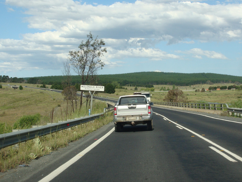 |
Molonglo RIver: Kings Hwy (B52) as it crosses Molonglo River via Burbong Bridge at Carwoola, November 2013. Image © Paul Rands |
|
 |
Advance Directional Sign : AD sign with topknot approaching Yass Rd and Ellerton Dr, Queanbeyan, November 2013. Image © Paul Rands |
|||
 |
Advance Directional Sign : Black AD sign with B52 coverplate on Lowe St, Queanbeyan, December 2013. Image © Paul Rands |
|||
 |
Black Intersection Directional Sign: Image © Paul Rands |
|||
 |
Advance Directional Sign : AD sign with topknot approaching Lanyon Dr, Queanbeyan, April 2015. Click here for a photo of this location from November 2013. Image © Paul Rands |
|||
 |
Supplemental Advance Directional Sign : Supplemental AD sign approaching Lanyon Dr, Queanbeyan, November 2013. Image © Paul Rands |
|||
 |
Lanyon Drive: Intersection directional sign at the roundabout with Lanyon Drive at Queanbeyan, April 2015. Image © Paul Rands |
|||
 |
Lanyon Drive: Intersection directional sign at the roundabout with Lanyon Drive at Queanbeyan, November 2013. Image © Paul Rands |
|||
 |
Advance Directional Sign : AD sign approaching Kendall Av and Gilmore Rd, Queanbeyan, November 2013. Image © Paul Rands |
|||
| Click here for the continuation of B52 in the Australian Capital Territory | ||||
1 Roads & Traffic Authority Pesticide Application Program, June 2008, Page 25
2 Sam Laybutt (ozroads.com.au)
3 Roads and Maritime Services, Projects, Kings Highway - Queanbeyan
Last updated: 26-Oct-2018 11:19
This site © Paul Rands. All rights reserved. Some portions © (copyright) by their respective and credited owners. Permission must be obtained before using any images from this site. For details, please email by clicking here.