|
|
|
|
|
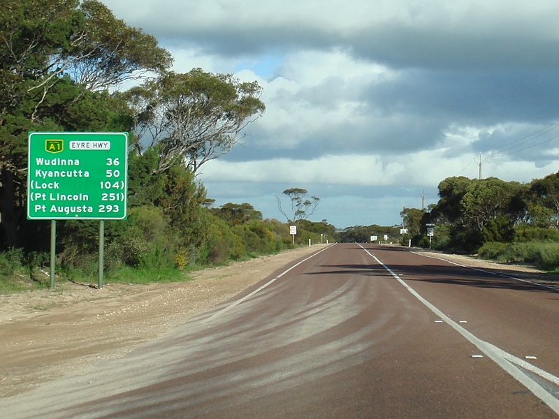
| M1 A1 B1 | Princes Highway, South Eastern Freeway, Glen Osmond Road, Fullarton Road, Dequetteville Terrace, Hackney Road, Main Road, Park Road, Robe Terrace, Main North Road, Port Wakefield Road, Port Wakefield Highway, Augusta Highway & Eyre Highway (M1 / A1 / B1) - Kimba to Poochera |
Statistics:
Route Numbering:


General Information:
Highway 1 runs right around Australia, however with the introduction of alphanumeric routes, highway 1 takes on all different identifications depending on its importance and road design.
In South Australia, it's numbered with several designations:
Named after Edward John Eyre the Eyre Highway is a highway linking Western Australia and South Australia. It forms part of Highway 1 and the Australian National Highway network linking Perth and Adelaide. It is the only sealed road that crosses the SA/WA border.
Access to the spectacular coastline of Great Australian Bight is just a short detour south of the highway in many places. Towns and localites along this section of Highway 1 include Border Village, Nullarbor, Yalata, Nundroo, Penong, Ceduna and Port Augusta.
History:
Eyre Highway (A1):
| Poochera to Kimba | Kimba to Poochera | |||
| Preview: | Description: | Preview: | Description: | |
 |
Supplemental Advance Directional Sign: Supplemental AD sign at Karcultaby approaching Phillips Road. September 2009. Image © Paul Rands |
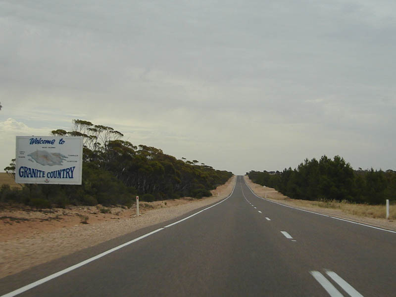 |
Welcome to Granite Country: Westbound tourist orientated sign at Soloman, December 2007. Image © Paul Rands |
|
 |
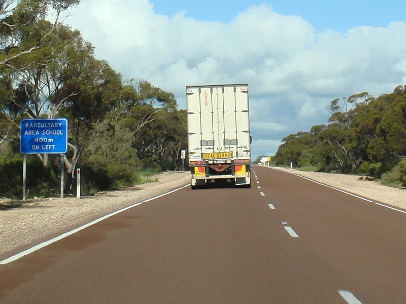
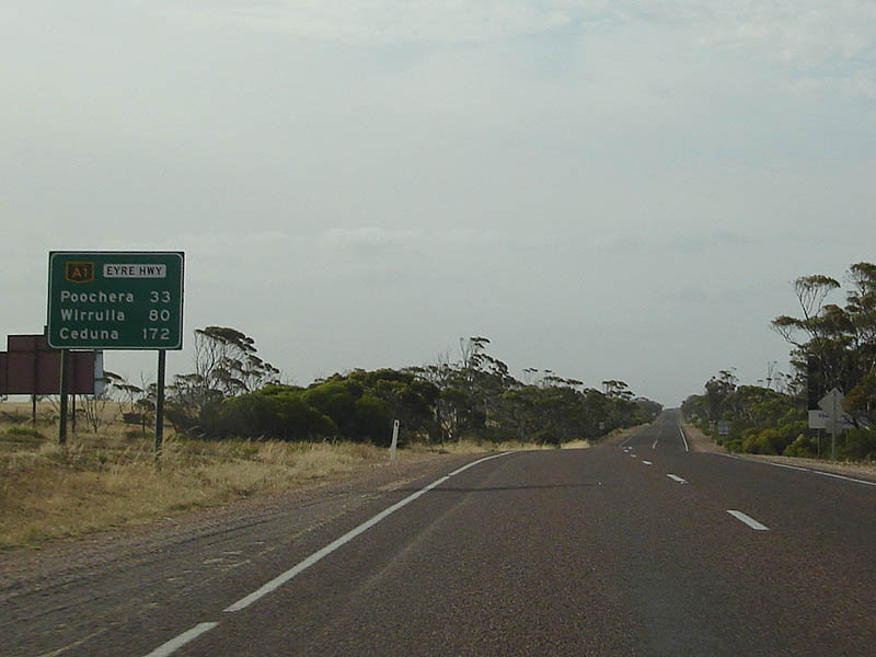
Advance Directional Sign: AD sign at Karcultaby approaching Phillips Road. September 2009. Image © Paul Rands |
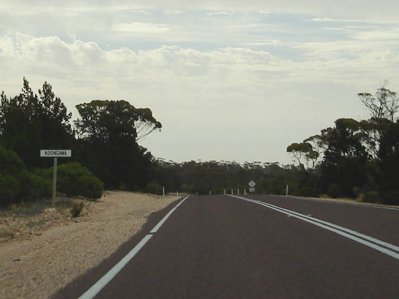 |
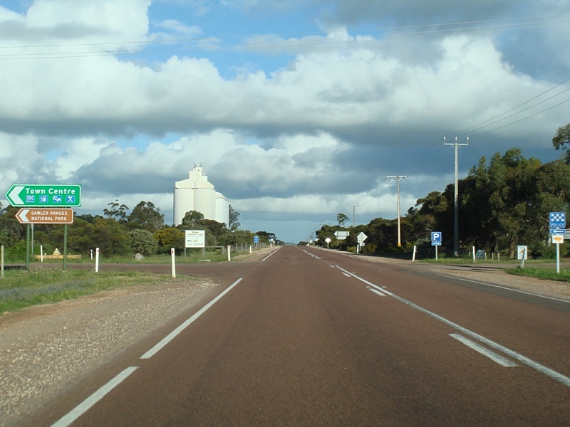
Entering Koongawa: Westbound at Koongawa, December 2007. Image © Paul Rands |
|
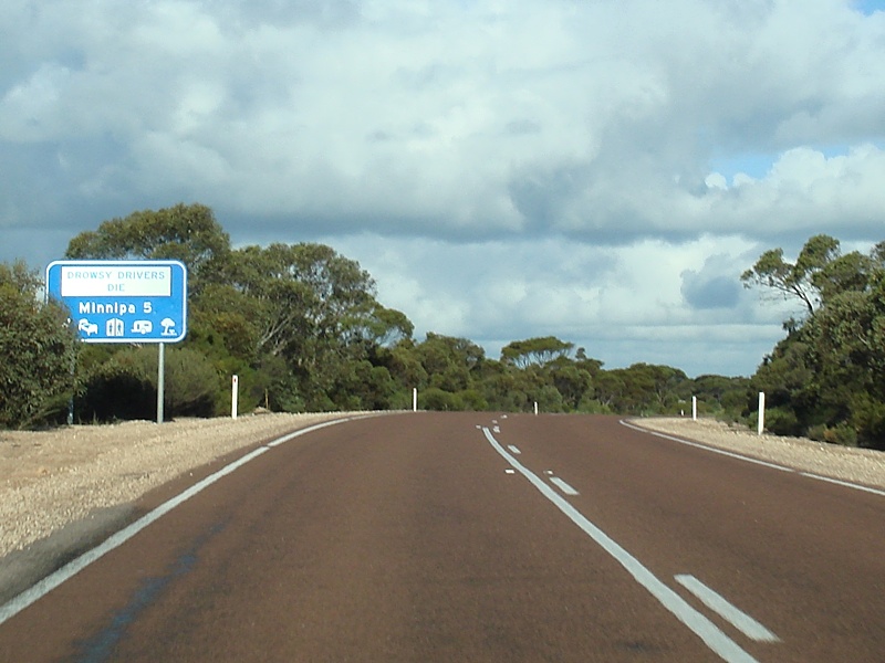 |
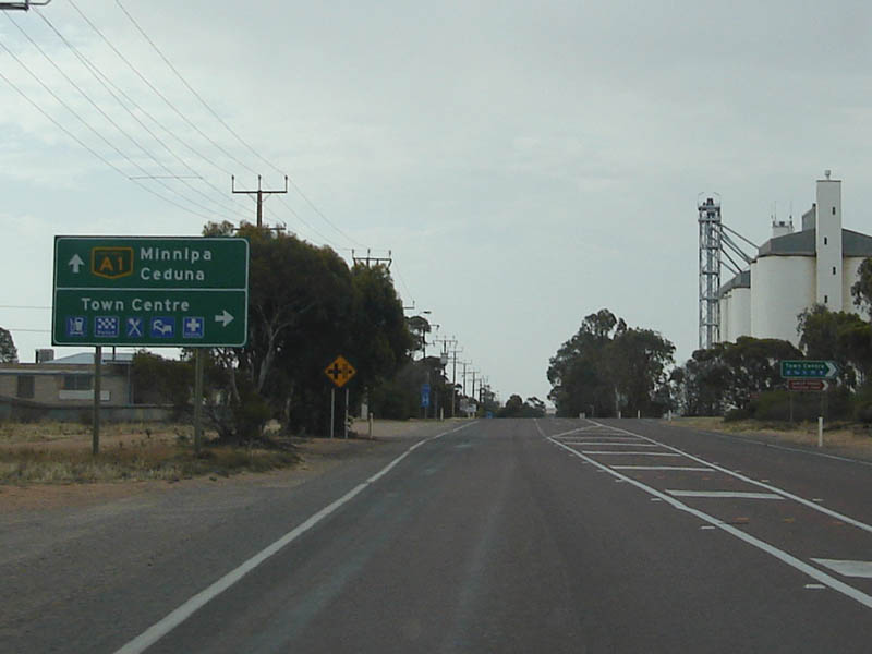
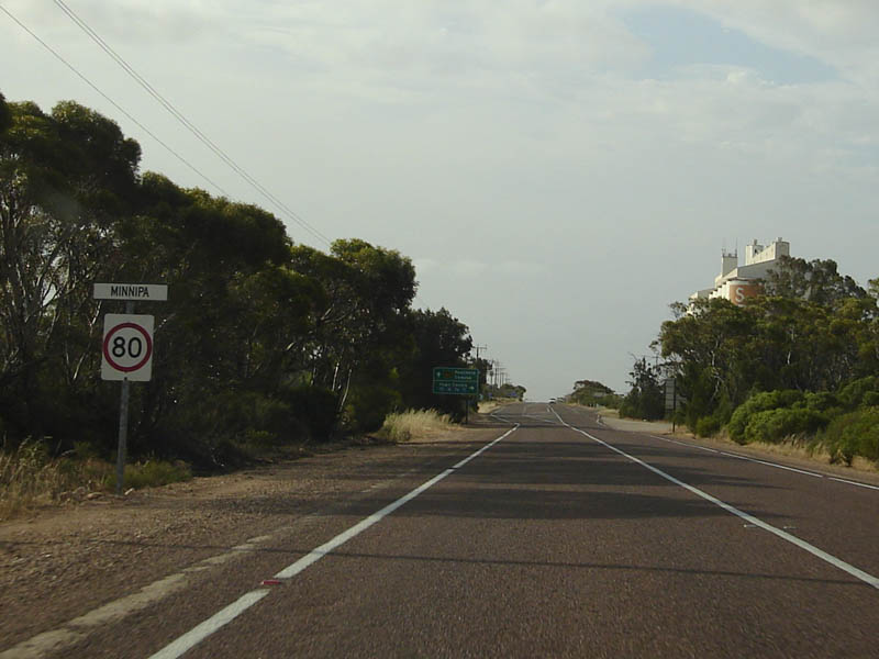
Services Sign: Services sign on Eyre Hwy approaching the town of Minnipa. September 2009. Image © Paul Rands |
 |
Westbound at Koongawa: An amazing scene from the Eyre Hwy as it passes through Koongawa, December 2007. Image © Paul Rands |
|
 |
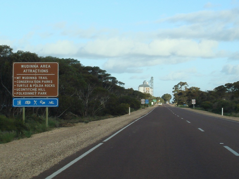
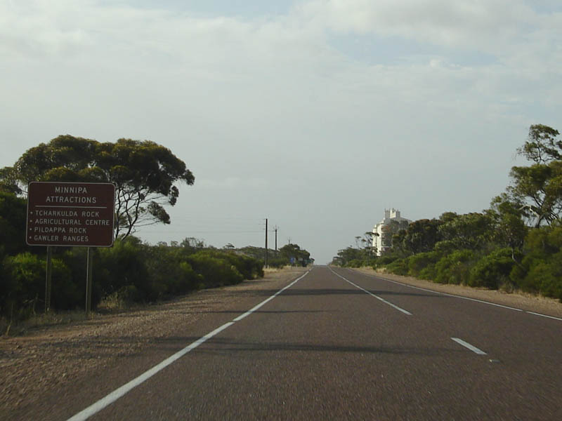
Tourism Sign: Sign listing local tourist attractions, near Minnipa. September 2009. Image © Paul Rands |
 |
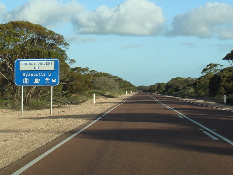
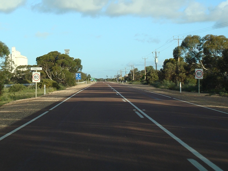
Services Sign: Westbound at Kyancutta, December 2007. Image © Paul Rands |
|
 |
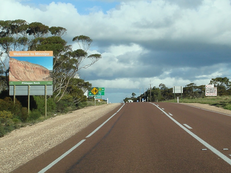
Entering Minnipa: The Eyre Highway as it enters the town of Minnipa. September 2009. Image © Paul Rands |
 |
Entering Kyancutta: Westbound as you enter the town of Kyancutta. December 2007. Image © Paul Rands |
|
 |
Tourism Sign: Photographic tourism related sign welcoming visitors to Minnipa. September 2009. Image © Paul Rands |
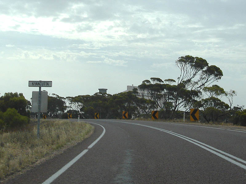 |
Entering Kyancutta: Westbound as you enter the town of Kyancutta. December 2007. Image © Paul Rands |
|
 |
Advance Directional Sign: AD sign at Minnipa approaching Crabb Road and Burgoyne Terrace. September 2009. Image © Paul Rands |
 |
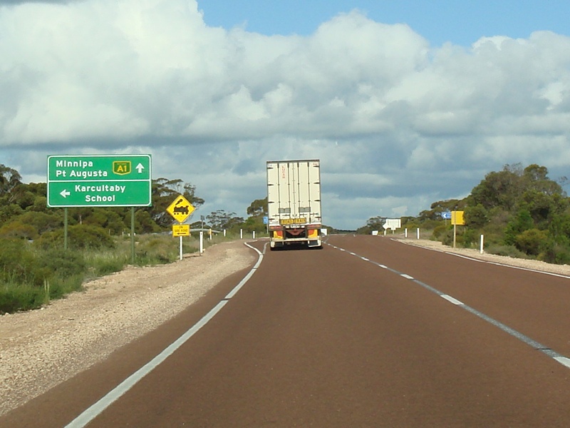
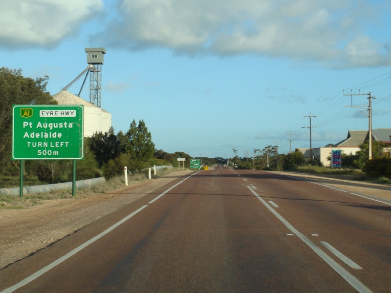
Advance Directional Sign: Approaching the Tod Hwy (B90) intersection at Kyancutta. June 2007. Image © Darrin Smith |
|
 |
Crabb Road and Burgoyne Terrace Junction: Eyre Hwy at the intersection with Crabb Rd & Burgoyne Tce in Minnipa. September 2009. Image © Paul Rands |
 |
Tod Highway Intersection: ID sign assembly on the corner of the Eyre Hwy and Tod Hwy at Kyancutta, December 2007. Image © Paul Rands |
|
 |
Dean Road & Moseley Terrace Junction: Eyre Hwy at the junction with Dean Rd & Moseley Tce in Minnipa. September 2009. Image © Paul Rands |
 |
Advance Directional Sign: Image © Darrin Smith |
|
 |
Distance Sign: RD sign as you leave Minnipa. September 2009. Image © Paul Rands |
 |
Distance Sign: RD sign as you leave Kyancutta. December 2007. Image © Paul Rands |
|
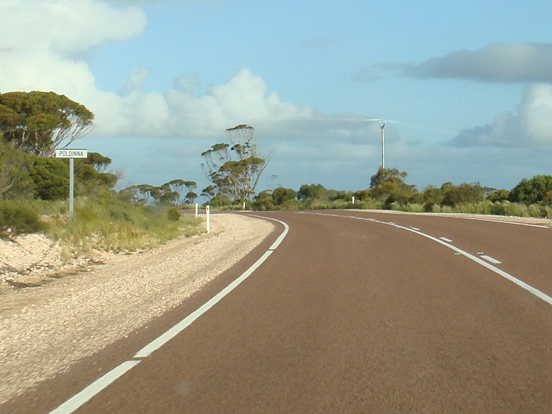 |
Entering Poldinna: Eyre Highway as it enters the village of Poldinna. September 2009. Image © Paul Rands |
 |
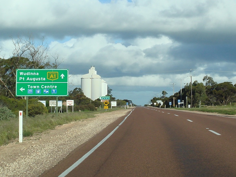
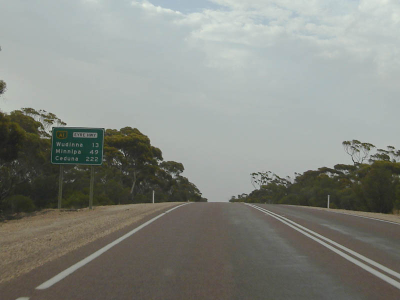
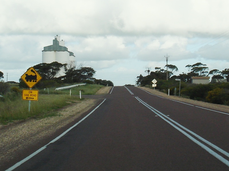
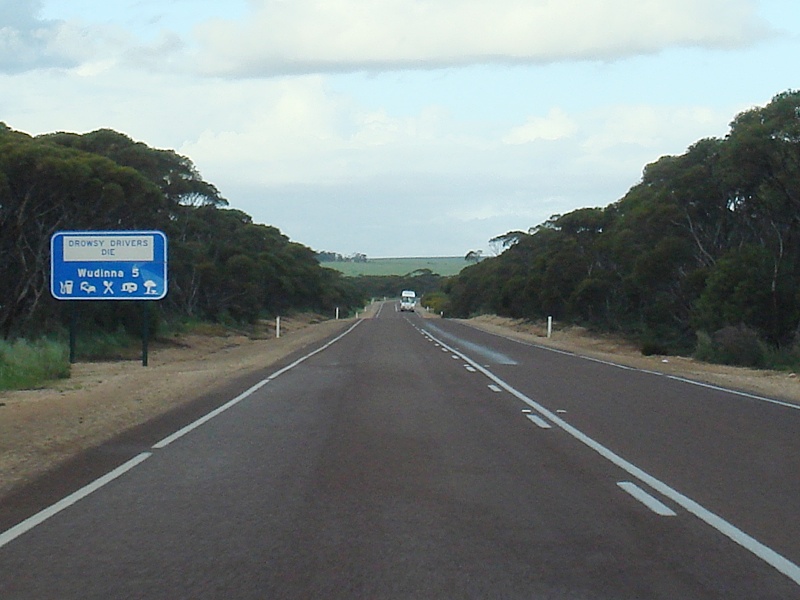
Services Sign: Sign indicating services available in the town of Wudinna, December 2007. Image © Paul Rands |
|
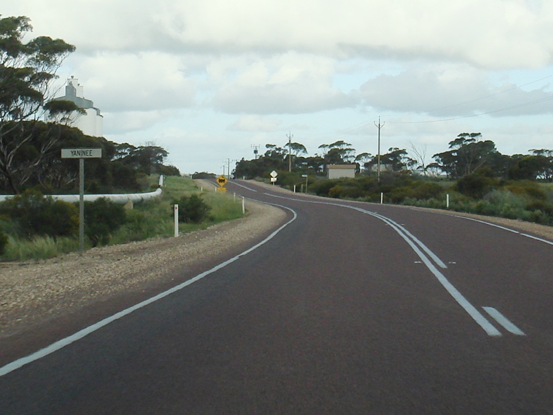 |
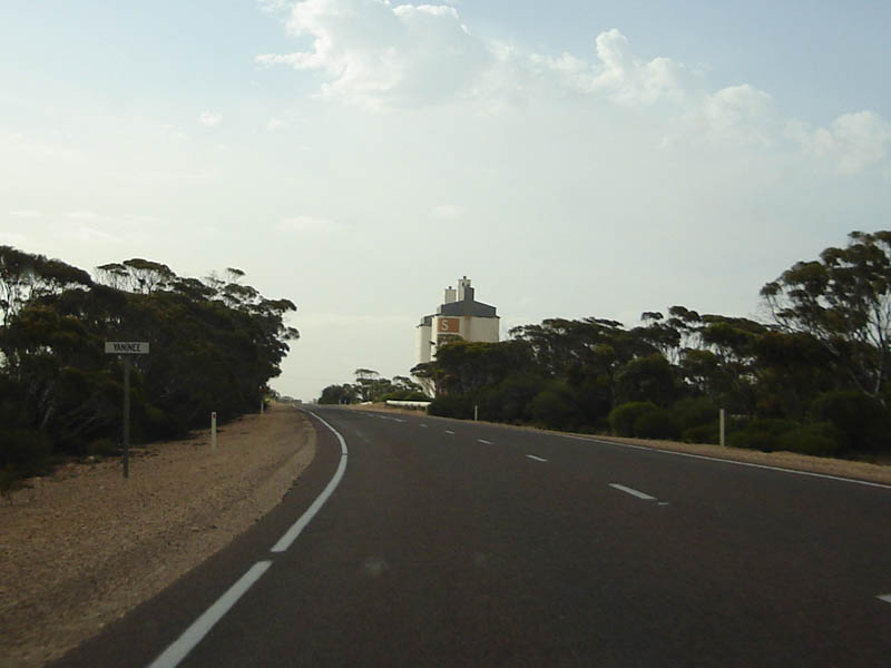
Entering Yaninee: Eyre Hwy as it enters the town Yaninee. September 2009. Image © Paul Rands |
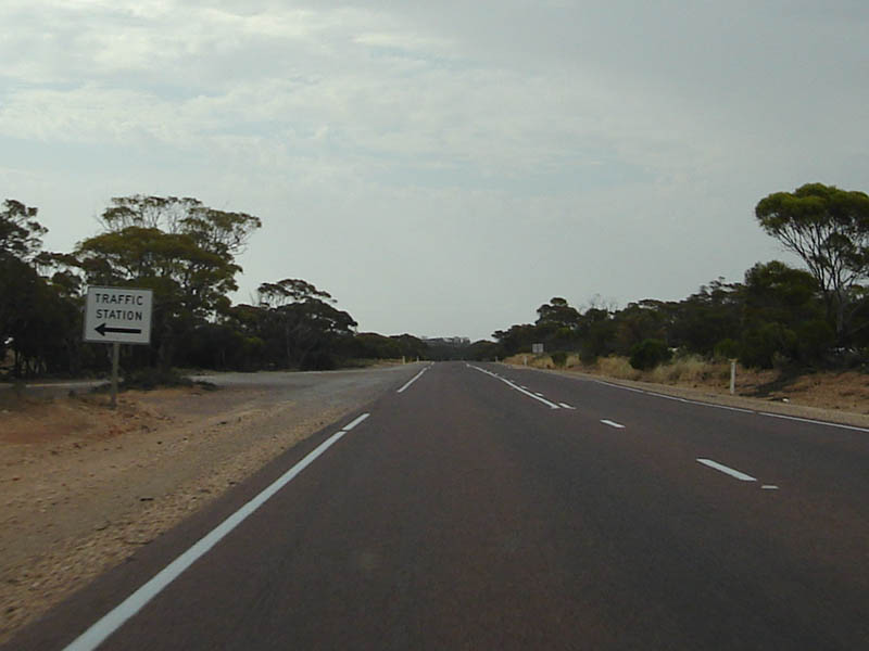 |
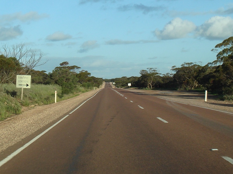
Traffic Station Sign: Old sign indicating vehicle inspection bay at Wudinna, December 2007. Image © Paul Rands |
|
 |
Yaninee: Eyre Highway looking southeast in the town of Yaninee. September 2009. Image © Paul Rands |
 |
Entering Wudinna: Entering the town of Wudinna. December 2007. Image © Paul Rands |
|
 |
Entering Pygery: Eyre Hwy as it enters the town of Pygery. September 2009. Image © Paul Rands |
 |
Tourist Sign: Sign welcoming travelers to the town of Wudinna, December 2007. Image © Paul Rands |
|
 |
West Terrace & Port Kenny Road Junction: Eyre Hwy at the intersection with West Tce & Port Kenny Rd in Pygery. September 2009. Image © Paul Rands |
 |
AD Sign: Advance directional sign approaching Museum Tce in Wudinna, December 2007. Image © Paul Rands |
|
 |
Services Sign: Services sign as the Eyre Hwy approaches the town of Wudinna. September 2009. Image © Paul Rands |
 |
Entering Pygery: Entering the town of Pygery, December 2007. Image © Paul Rands |
|
 |
Entering Wudinna: The Eyre Hwy as it enters the town of Wudinna. September 2009. Image © Paul Rands |
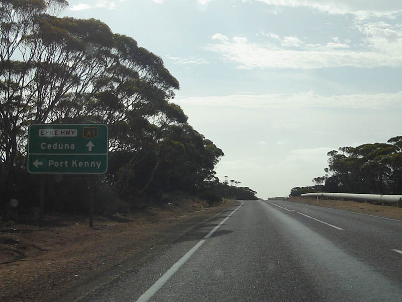 |
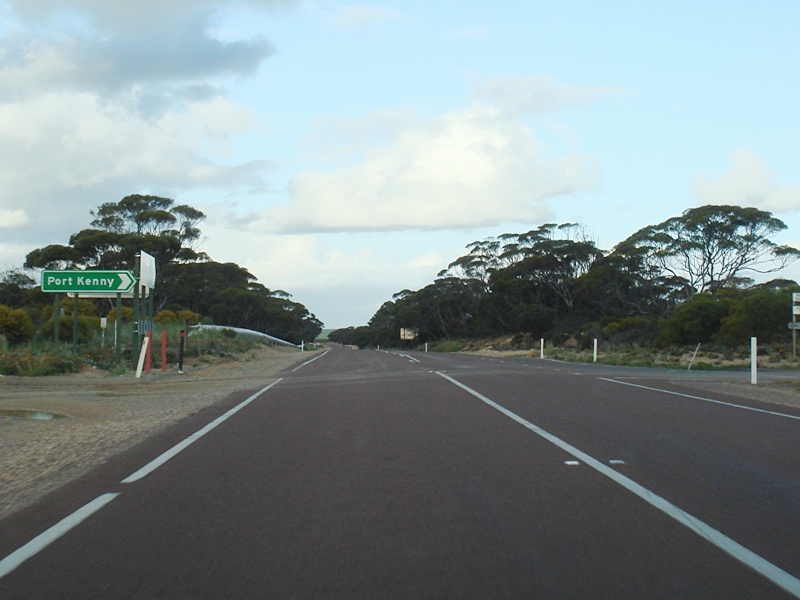
Approaching Port Kenny Road: AD sign on the Eyre Hwy at Pygery as it approaches Port Kenny Road, December 2007. Image © Paul Rands |
|
 |
Tourism Sign: Sign showing local attractions at Wudinna. September 2009. Image © Paul Rands |
 |
Entering Yaninee: Entering the small town of Yaninee, December 2007. Image © Paul Rands |
|
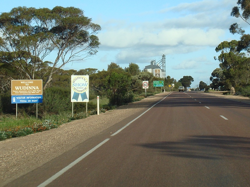 |
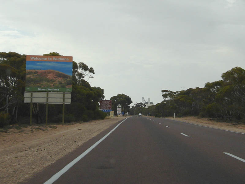
Welcome to Wudinna: Welcome sign as the Eyre Highway enters the town of Wudinna. September 2009. Image © Paul Rands |
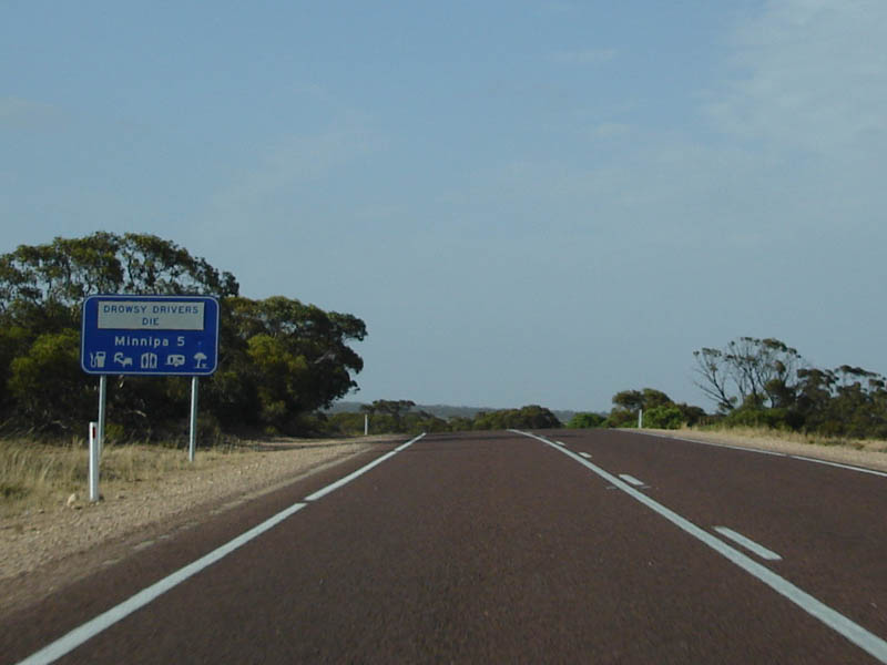 |
Services Sign: Services sign as you approach the town of Minnipa, December 2007. Image © Paul Rands |
|
 |
AD Sign: Advance directional sign approaching Gooch Terrace in Wudinna. September 2009. Image © Paul Rands |
 |
Tourism Sign: Tourist sign detailing attractions in the Minnipa area. December 2007. Image © Paul Rands |
|
 |
Gooch Terrace Intersection: Corner of Eyre Hwy and Gooch Tce in Wudinna, looking southeast. September 2009. Image © Paul Rands |
 |
Entering minnipa: Entering the town of Minnipa, December 2007. Image © Paul Rands |
|
 |
Naylor Terrace & Byrne Road Intersection: Junction of Eyre Hwy, Naylor Tace & Byrne Rd in Wudinna. September 2009. Image © Paul Rands |
 |
AD Sign: Advance directional sign approaching Moseley Tce in Minnipa. December 2007. Image © Paul Rands |
|
 |
Distance Sign: RD sign as you leave Wudinna. September 2009. Image © Paul Rands |
 |
Distance Sign: RD sign as you leave the town of Minnipa, December 2007. Image © Paul Rands |
|
 |
Traffic Station Sign: Old hand painted sign indicating vehicle inspection bay at Wudinna. September 2009. Image © Paul Rands |
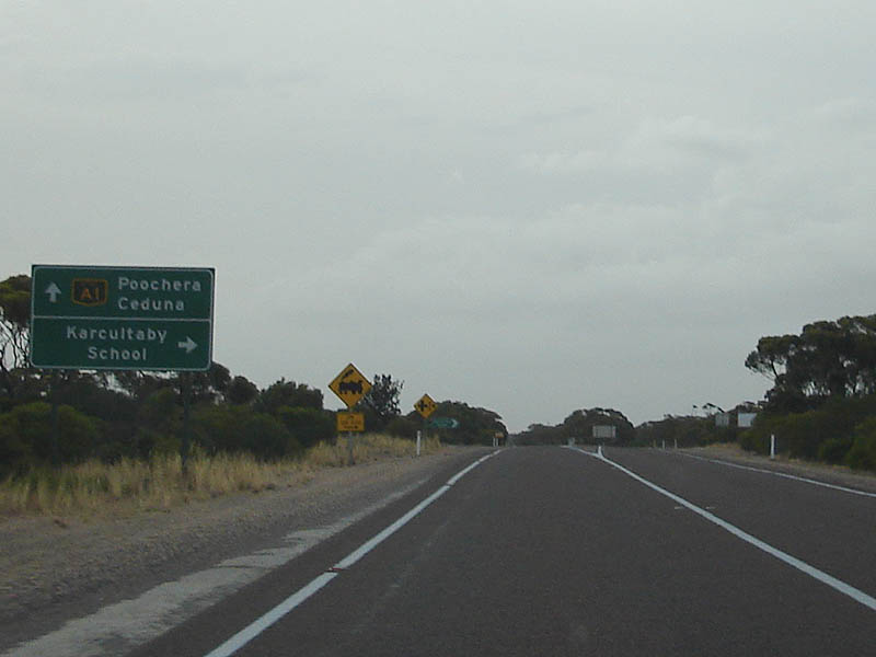 |
Directional Sign: AD sign at Karcultaby. December 2007. Image © Paul Rands |
|
 |
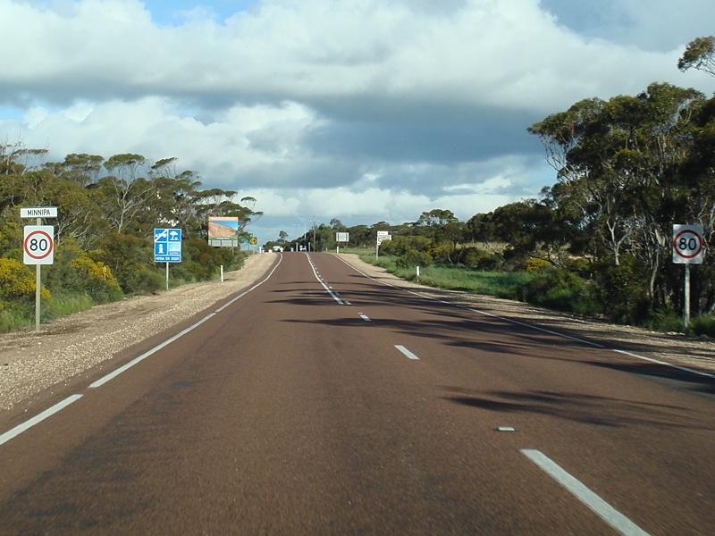
Services Sign: Services sign as you enter the town of Kyancutta. September 2009. Image © Paul Rands |
|||
 |
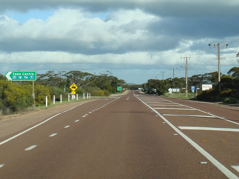
Entering Kyancutta: Eyre Highway as it enters town of Kyancutta. September 2009. Image © Paul Rands |
|||
 |
Supplemental AD sign: Supplemental advance directional sign at Kyancutta approaching the junction with Tod Hwy (B90). September 2009. Image © Paul Rands |
|||
 |
AD sign: Advance directional sign at Kyancutta approaching the junction with Tod Hwy (B90). September 2009. Image © Paul Rands |
|||
 |
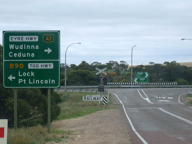
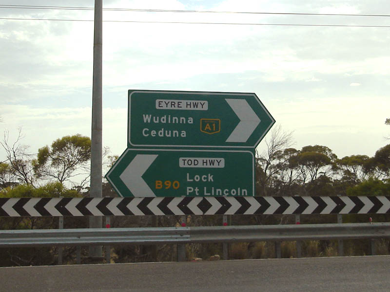
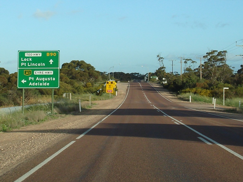
Tod Highway Junction: Corner of Eyre Hwy (A1) & Tod Hwy (B90) at Kyancutta. A1 continues left over the railway at this junction. September 2009. Image © Paul Rands |
|||
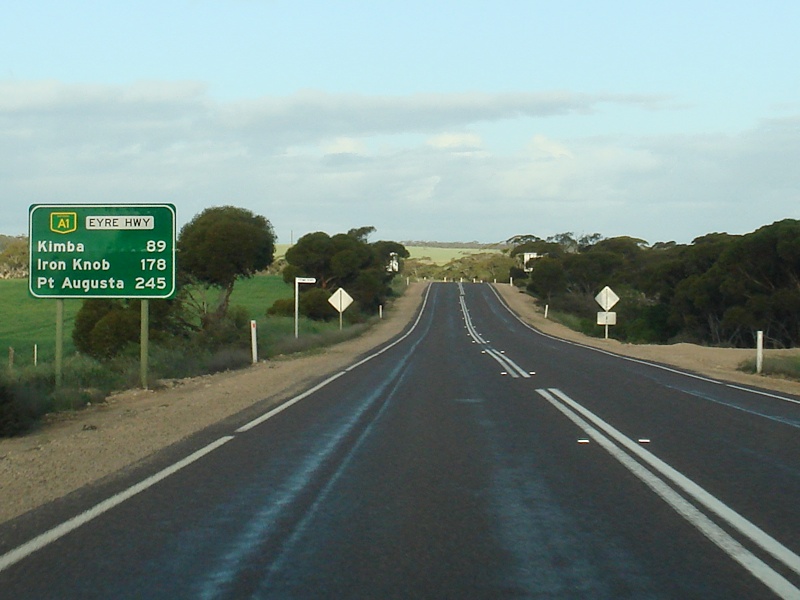 |
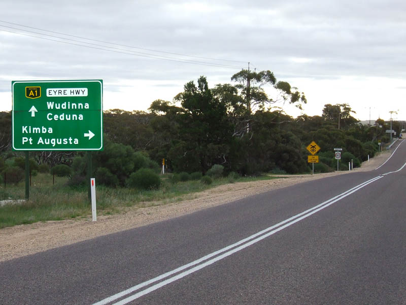
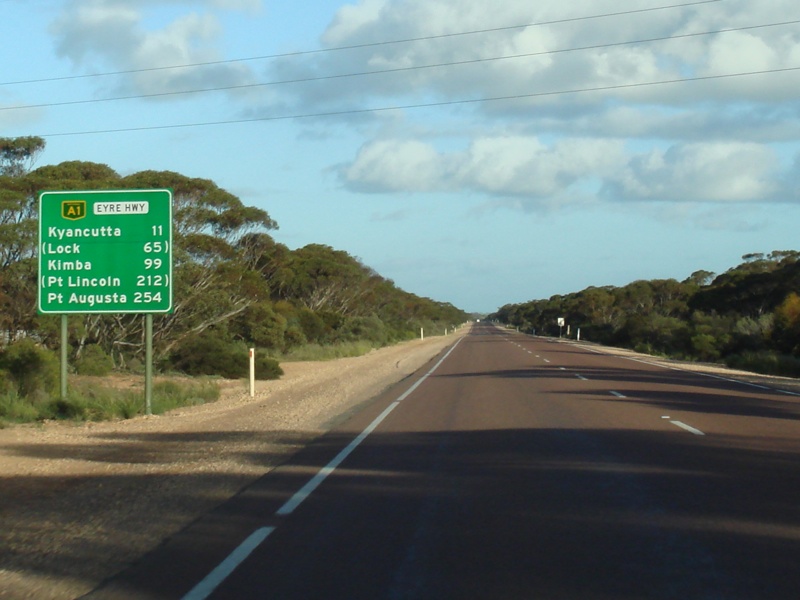
RD Sign: Distance sign as you leave Kyancutta, after the Tod Hwy junction. September 2009. Image © Paul Rands |
|||
| Click here for the continuation of A1 between Poochera & Ceduna Click here for the continuation of A1 between Port Augusta & Kimba |
||||
1 History Trust of South Australia
2 Australian Government's Department of Infrastructure, Transport, Regional Development and Local Government
Last updated: 10-Feb-2019 11:51
This site © Paul Rands. All rights reserved. Some portions © (copyright) by their respective and credited owners. Permission must be obtained before using any images from this site. For details, please email by clicking here.