|
|
|
|
|
| M1 A1 B1 | Princes Highway, South Eastern Freeway, Glen Osmond Road, Fullarton Road, Dequetteville Terrace, Hackney Road, Main Road, Park Road, Robe Terrace, Main North Road, Port Wakefield Road, Port Wakefield Highway, Augusta Highway & Eyre Highway (M1 / A1 / B1) - Port Augusta to Kimba |
Route Numbering:


General Information:
Highway 1 runs right around Australia, however with the introduction of alphanumeric routes, highway 1 takes on all different identifications depending on its importance and road design.
In South Australia, it's numbered with several designations:
Named after Edward John Eyre the Eyre Highway is a highway linking Western Australia and South Australia. It forms part of Highway 1 and the Australian National Highway network linking Perth and Adelaide. It is the only sealed road that crosses the SA/WA border.
Access to the spectacular coastline of Great Australian Bight is just a short detour south of the highway in many places. Towns and localites along this section of Highway 1 include Border Village, Nullarbor, Yalata, Nundroo, Penong, Ceduna and Port Augusta.
History:
Eyre Highway (A1):
| Kimba to Port Augusta | Port Augusta to Kimba | |||
| Preview: | Description: | Preview: | Description: | |
 |
Services Sign: Services sign on the outskirts of Kimba. September 2009. Image © Paul Rands |
 |
Welcome To Port Augusta: Northbound sign entering the town of Port Augusta, December 2007. Image © Paul Rands |
|
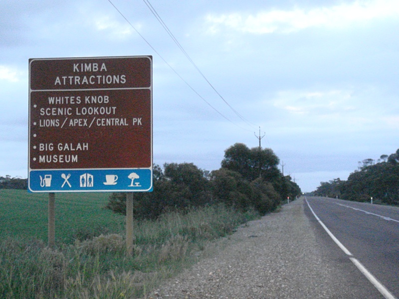 |
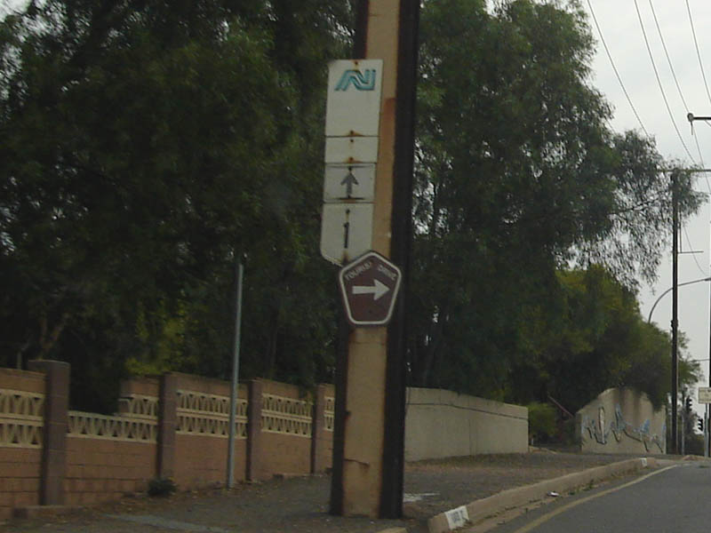
Tourism Sign: Sign on the outskirts of Kimba, indicating local attractions. September 2009. Image © Paul Rands |
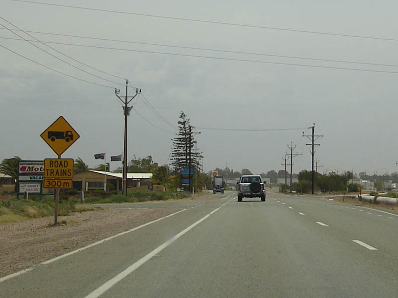 |
Road Trains Warning Sign: A warning sign for road trains entering at Port Augusta, December 2007. Image © Paul Rands |
|
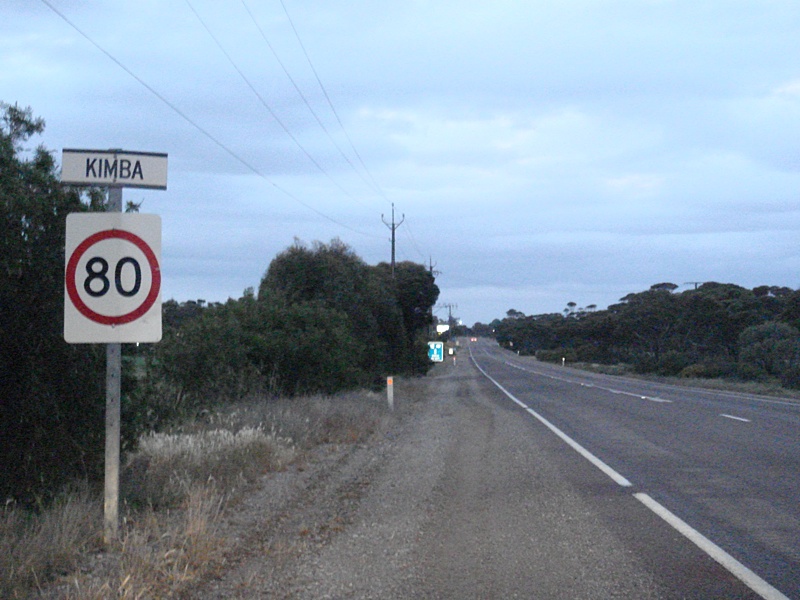 |
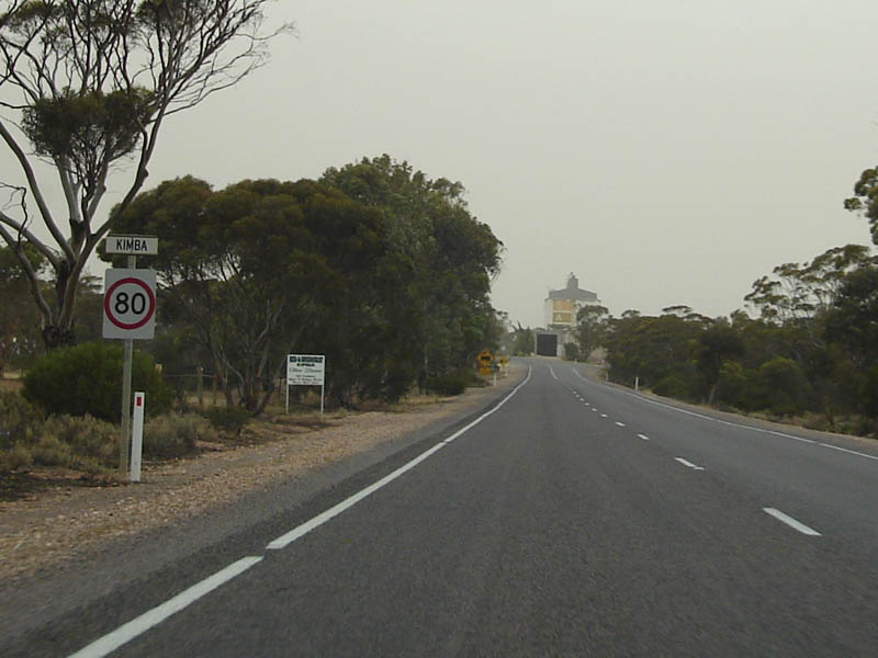
Entering Kimba: Eyre Highway as it enters the town of Kimba. September 2009. Image © Paul Rands |
 |
Advance Directional Sign: AD sign approaching Fulham Rd, Port Augusta, November 2016. Image © Paul Rands |
|
 |
AD Sign: Advance directional sign near the Martin Tce intersection in Kimba. The sign is actually for the South Tce / Cowell Rd junction, which is the next street over from Martin Tce. June 2007. Image © Darrin Smith |
 |
Services Sign: Services sign approaching Carlton Parade Port Augusta. November 2016. Click here for a photo of this location from December 2007. Image © Paul Rands |
|
 |
South Terrace / Cowell Road Intersection: Corner of Railway Tce (Eyre Hwy), South Tce and Cowell Road at Kimba. June 2007. Image © Darrin Smith |
 |
Advance Directional Sign: AD sign approaching Flinders Tce in Port Augusta, with old route shields. It indicates that NH87 and ALT-NR1 are just ahead, in fact the former NH87 (now A87) is 3 km away and the former ALT-NR1 (now B100) is over 20 km away from this point, June 2007. Image © Darrin Smith |
|
 |
ID Sign: Intersection directional sign on the corner of Cowell Road and South Terrace. June 2007. Image © Paul Rands |
 |
Old NR1 Trailblazer: Unsure of the history here, but this trailblazer is southbound on Flinders Terrace Port Augusta approaching the current alignment on Highway 1, however the arrow is at odds with the alignment. December 2007. Image © Paul Rands |
|
 |
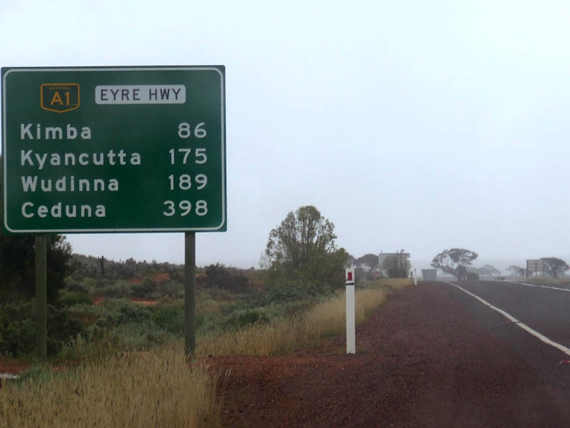
Distance Sign: RD sign on the Eyre Hwy as you leave Kimba. September 2009. Image © Paul Rands |
 |
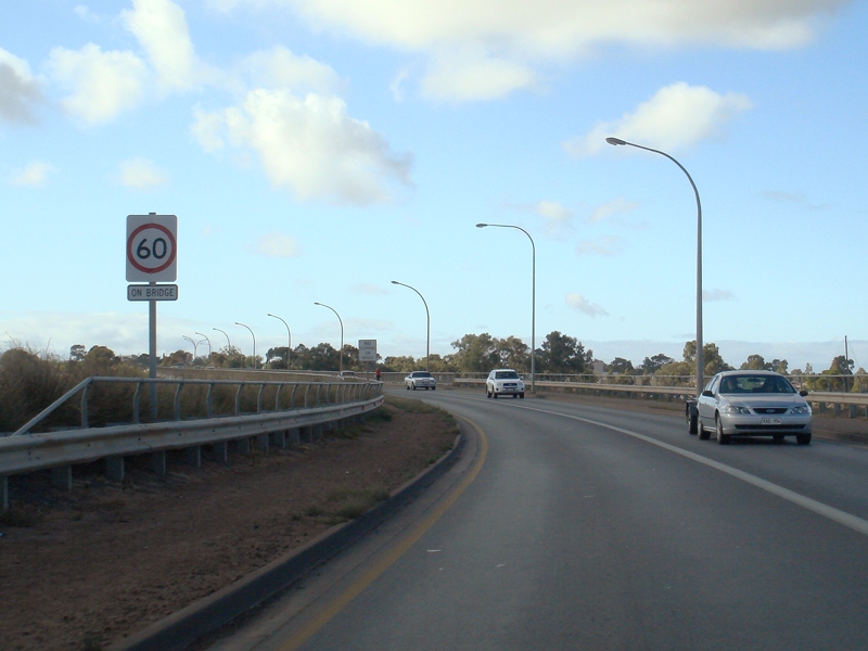
Spencer Gulf: Eyre Hwy (A1) as it crosses Spencer Gulf via Joy Balucham Bridge, November 2016. Image © Paul Rands |
|
 |
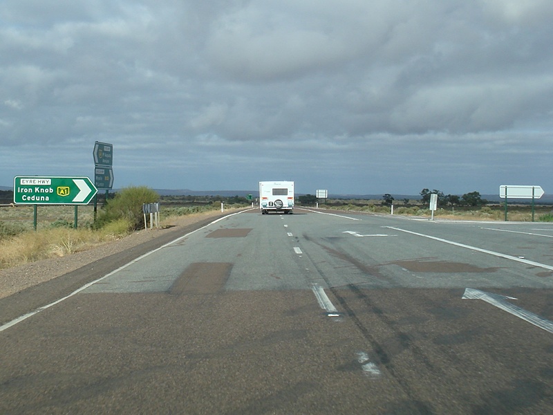
Advance Directional Sign: AD sign on the Eyre Highway for Dickens Street at Iron Knob. June 2007. Image © Darrin Smith |
 |
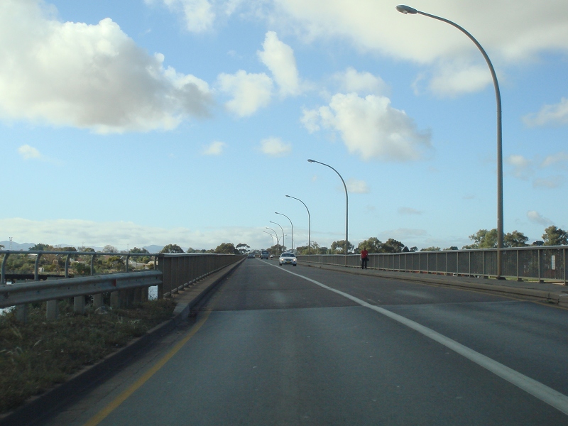
Crossing The Spencer Gulf: Heading over the Spencer Gulf via Joy Balucham Bridge in Port Augusta. December 2007. Image © Paul Rands |
|
 |
Distance Sign: RD sign with remnant NH1 shield as you leave Iron Knob. September 2018. Click here for a photo of this location by Darrin Smith from June 2007. Image © Dean Sherry |
 |
Commemoration Plaque:: Commemoration plaque on Joy Balucham Bridge over Spencer Gulf at Port Augusta, December 2003. Image © Michael Greenslade |
|
 |
AD Sign: Advance directional sign on the Eyre Highway approaching the junction with Lincoln Highway (B100) at Lincoln Gap, 26 km west of Port Augusta. June 2007. Click here for a photo of this location by Michael Greenslade, from December 2003. Image © Paul Rands |
 |
Spencer Gulf: Eyre Hwy (A1) as it crosses Spencer Gulf via Joy Balucham Bridge, December 2003. Image © Michael Greenslade |
|
 |
Approaching Lincoln Hwy: Eyre Highway as it approaches the junction with Lincoln Highway (B100 (former ALT-NR1)) at Lincoln Gap, west of Port Augusta. September 2009. Image © Paul Rands |
 |
Advance Directional Sign: Corner of Burgoyne St and Waroona Rd in Port Augusta, December 2007. Image © Paul Rands |
|
 |
Advance Directional Sign: AD sign on Eyre Hwy at Lincoln Gap, approaching Lincoln Hwy (B100). September 2009. Image © Paul Rands |
 |
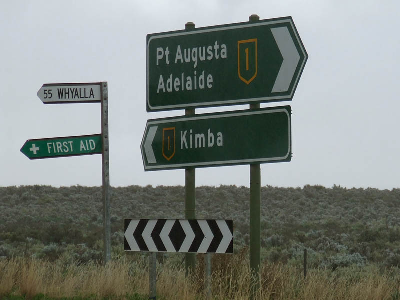
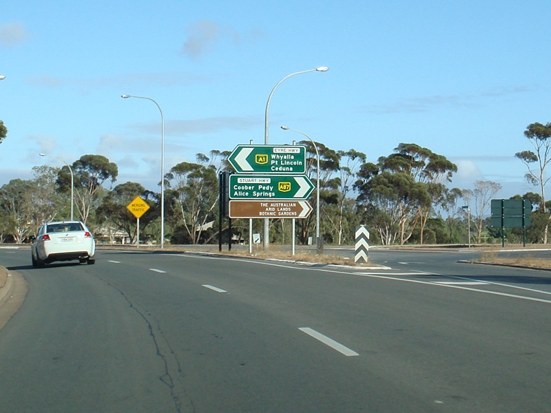
Diagrammatic AD Sign: Aprroaching A87, Stuart Highway, Port Augusta. September 2009. Image © Paul Rands |
|
 |
Distance Sign: Reassurance directional sign after the Lincoln Hwy junction at Lincoln Gap. September 2009. Image © Paul Rands |
 |
AD Sign: Aprroaching A87, Stuart Highway, Port Augusta. September 2009. Image © Paul Rands |
|
 |
Tourism Sign: Flinders Range tourism sign between Lincoln Gap and Port Augusta West. September 2009. Image © Paul Rands |
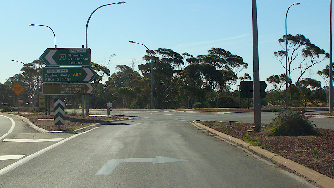 |
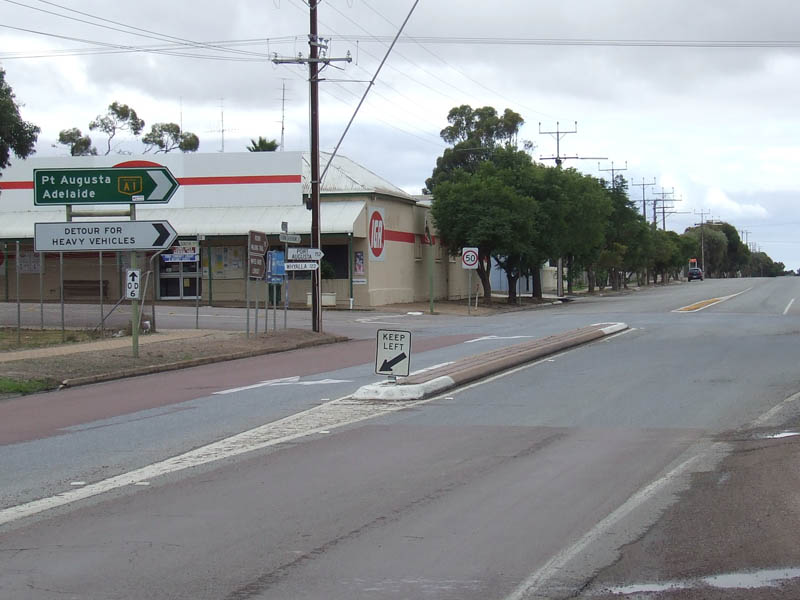
Stuart Highway Intersection: Looking outbound at Port Augusta where the Eyre Highway and Stuart Highway meet. November 2016. Click here for a photo of this location by Paul Rands from September 2009. Click here for a photo of this location by Kate Pilling from August 2008. Image © Paul Rands |
|
 |
Services Sign: Services sign on Eyre Hwy at Port Augusta West. September 2009. Image © Paul Rands |
 |
Distance Sign: RD sign as you head outbound at Port Augusta west along the Eyre Hwy, September 2009. Image © Paul Rands |
|
 |
Tourist Attraction Sign: Tourist orientated sign listing the local attractions, Port Augusta West. September 2009. Image © Paul Rands |
 |
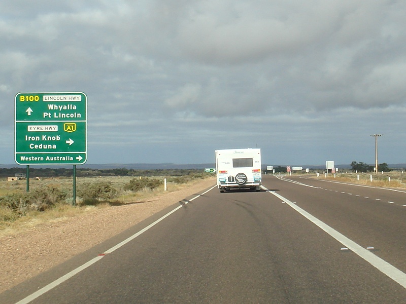
Supplemental Advance Directional Sign: Sign detailing 2 route options to access the town of Ceduna, approaching the Lincoln Hwy (B100) / Eyre Hwy (A1) junction at Lincoln Gap. September 2009. Click here for a photo of this location by Michael Greenslade, from December 2003. Image © Paul Rands |
|
 |
Welcome to Port Augusta: Eyre Hwy as it enters Port Augusta West. September 2009. Image © Paul Rands |
 |
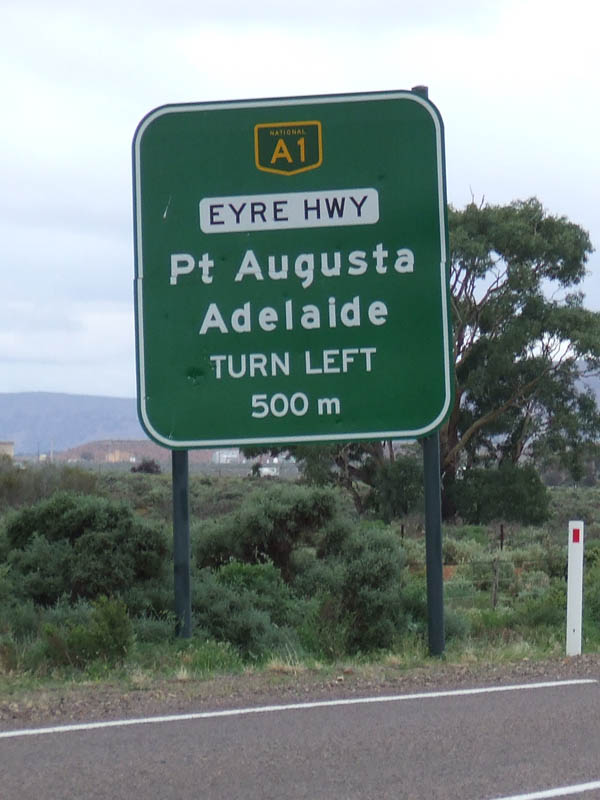
Advance Directional Sign: Approaching the Lincoln Hwy (B100) / Eyre Hwy (A1) junction at Lincoln Gap, September 2009. Click here for a photo of this location by Michael Greenslade, from December 2003. Image © Paul Rands |
|
 |
Advance Directional Sign: AD sign on Eyre Hwy approaching the Stuart Hwy (A87) at Port Augusta West. September 2009. Image © Paul Rands |
 |
Lincoln / Eyre Hwy Intersection: Corner of the Lincoln Hwy and Eyre Hwy at Lincoln Gap, September 2009. Image © Paul Rands |
|
 |
Stuart Highway Junction: Corner of Eyre Hwy & Stuart Hwy at Port Augusta West. September 2009. Image © Paul Rands |
 |
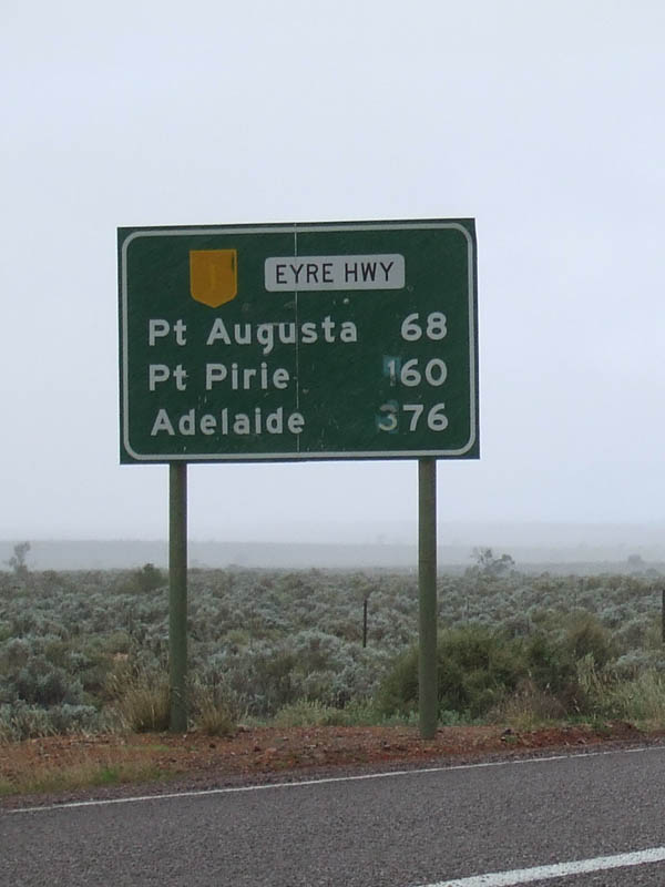
Distance Sign: RD sign on the Eyre Hwy after the Lincoln Hwy intersection, September 2009. Click here for a photo of this location by Michael Greenslade, from December 2003. Image © Paul Rands |
|
 |
Old NH1 Shielded Sign: Distance sign at Port Augusta West, November 2016. Click here for a photo of this location by Paul Rands from September 2009. |
 |
Advance Directional Sign: AD sign on the Eyre Highway for Dickens Street at Iron Knob. June 2007. Image © Darrin Smith |
|
 |
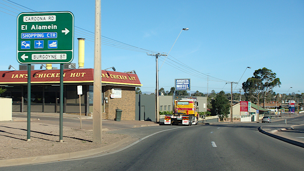
Traffic Signal Warning Flashers: Warning signals near Stokes Terrace for the traffic lights at the Caroona Road & Burgoyne Street junction at Port Augusta West. November 2016. Click here for a photo of this location by Michael Greenslade, from December 2003. Image © Paul Rands |
 |
Intersection Directional Sign Assembly: Image © Darrin Smith |
|
 |
Advance Directional Sign: AD sign for the Caroona Road & Burgoyne Street junction at Port Augusta West. November 2016. Click here for a photo of this location by Paul Rands from September 2009. Click here for a photo of this location by Michael Greenslade from December 2003. Image © Paul Rands |
 |
Distance Sign: RD sign with on NH1 shield as you leave Iron Knob. June 2007. Image © Darrin Smith |
|
 |
Crossing Spencer Gulf: Eyre Highway as it crossses the Spencer Gulf at Port Augusta West. September 2009. Image © Paul Rands |
 |
Entering Kimba: Westbound entering the town of Kimba. December 2007. Image © Paul Rands |
|
 |
Crossing Spencer Gulf: Eyre Highway as it crossses the Spencer Gulf via Port Augusta Bridge, at Port Augusta West. September 2009. Image © Paul Rands |
 |
Kimba: Looking towards town at Kimba, December 2007. Image © Paul Rands |
|
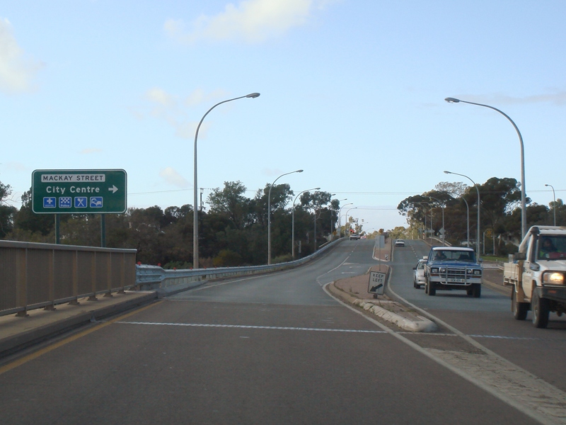 |
Advance Directional Sign: AD sign at Port Augusta approaching Mackay Street. September 2009. Image © Paul Rands |
 |
Advance Directional Sign: Westbound approaching Kimba Terrace, Kimba. December 2007. Image © Paul Rands |
|
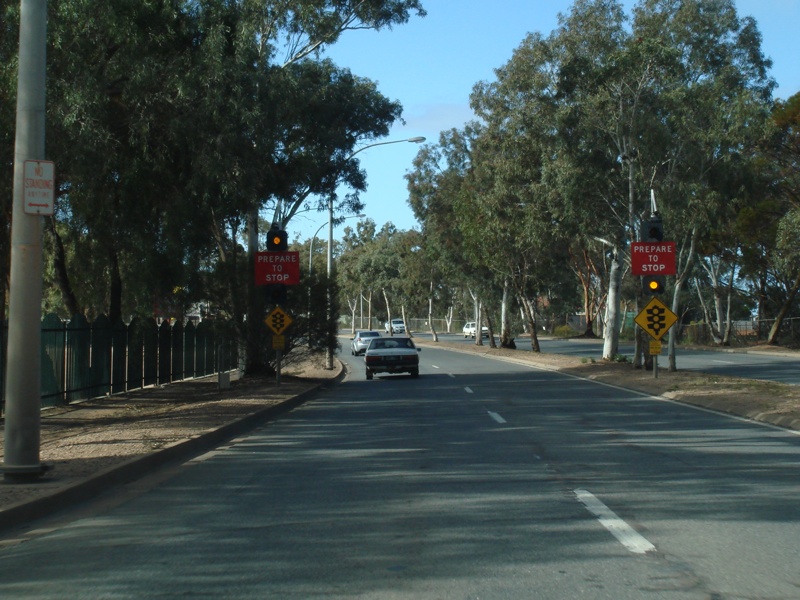 |
Traffic Signal Warning Flashers: Warning signals for the traffic lights at the Carlton Parade junction at Port Augusta. September 2009. Image © Paul Rands |
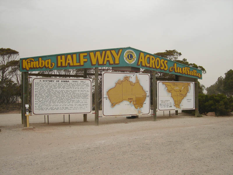 |
Halfway Point: Kimba is the halfway point between the east and west coasts of Australia, December 2007. Image © Paul Rands |
|
 |
Advance Directional Sign: AD sign at Port Augusta approaching Carlton Parade. September 2009. Image © Paul Rands |
 |
Approaching South Tce: Westbound advance directional sign for the South Terrace intersection at Kimba, June 2007. Image © Darrin Smith |
|
 |
Advance Directional Sign: AD sign at Port Augusta approaching Fulham Rd and Howard St. September 2009. Image © Paul Rands |
 |
South Terrace Intersection: ID sign assembly at the intersection with South Terrace, Eyre Hwy turns right here towards the town centre. December 2007. Image © Paul Rands |
|
 |
Road Narrows: Victoria Parade (A1) at Port Augusta as it makes its way over the railway line. September 2009. Image © Paul Rands |
 |
Advance Directional Sign: Sign assembly on South Terrace, Kimba. Eyre Hwy turns left here, December 2007. Image © Paul Rands |
|
 |
Bird Lake: A1 as it passes Bird Lake at Port Augusta. September 2009. Image © Paul Rands |
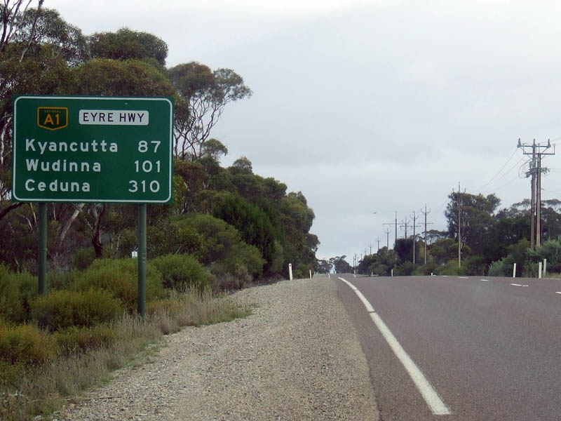 |
Distance Sign: RD as you head westbound at Kimba, June 2007. Image © Darrin Smith |
|
| Click here for the continuation A1 between Kimba & Poochera Click here for the continuation of A1 between Crystal Brook & Port Augusta |
||||
1 History Trust of South Australia
2 Australian Government's Department of Infrastructure, Transport, Regional Development and Local Government
Last updated: 29-Nov-2020 18:02
This site © Paul Rands. All rights reserved. Some portions © (copyright) by their respective and credited owners. Permission must be obtained before using any images from this site. For details, please email by clicking here.