|
|
|
|
|
Whyalla, formerly SA's largest regional centre until recent times, is a well known industrial city that lies on the western side of upper Spencer Gulf forming part of the Iron Triangle.
The city grew around the discovery of iron ore at nearby Iron Knob with Whyalla acting as the port to ship the ore to Port Pirie. In the late 1950's BHP chose Whyalla as a site for their steelworks with a shipyard and deepwater port developed shortly after. In this period Whyalla grew quickly to support the sudden influx of workers. This sporadic growth has given the city an unusual layout with the eastern part and CBD forming "old" Whyalla with the more planned western areas existing primarily after BHP had established itself.
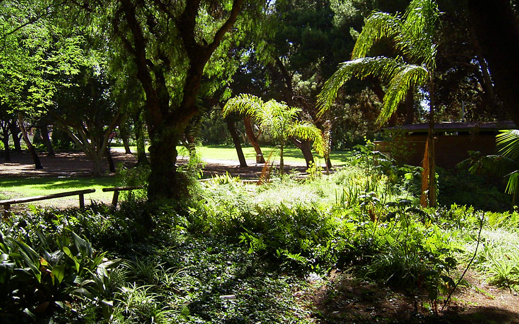
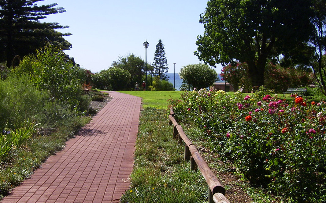
Due to the arid, dry and often vegetation free landscape that Whyalla resides in, its a wonder that a city exists aside from the ocean presence. Nevertheless, considerable work has been undertaken to try and make the city attractive where possible with Ada Ryan Gardens the standout feature (recommended). Also around the city are several lookouts, with Hummock Hill being the prominent vantage point where a 360 degree view can be gained (unfortunately the prevailing pollution from BHP has taken its toll on many of the CBD buildings with permanent colour changes), tours through the BHP works and the Whyalla marina.
Whyalla's size has shrunk over the last 10 years from a population of once 34 000 or so as BHP have reduced operations and due to the eventual shutdown of the shipyards.
| Preview: | Description: |
 |
Industrial Zone: View from Hummock Hill over Whyalla's industrial zone, December 2003. Image © Michael Greenslade |
 |
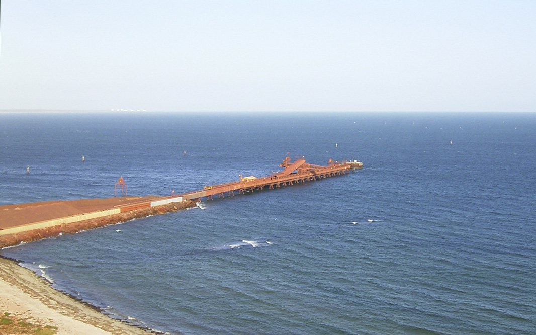
Steelworks: View north over the BHP Steelworks & False Bay from Hummock Hill lookout, Whyalla, December 2003. Image © Michael Greenslade |
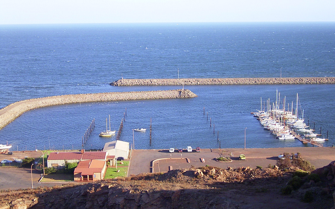 |
Whyalla Harbour: View over Whyalla Hbr from Hummock Hill, December 2003. Image © Michael Greenslade |
 |
Whyalla Harbour: View over Whyalla Hbr from Hummock Hill, December 2003. Image © Michael Greenslade |
 |
Whyalla: View over Whyalla from Hummock Hill lookout, December 2003. Image © Michael Greenslade |
 |
Town Centre: Whyalla CBD, looking west from Hummock Hill, December 2003. Image © Michael Greenslade |
 |
Spencer Gulf: View south over the town beach, Ada Ryan Gardens and into the Spencer Gulf from Hummock Hill lookout, Whyalla, December 2003. Image © Michael Greenslade |
 |
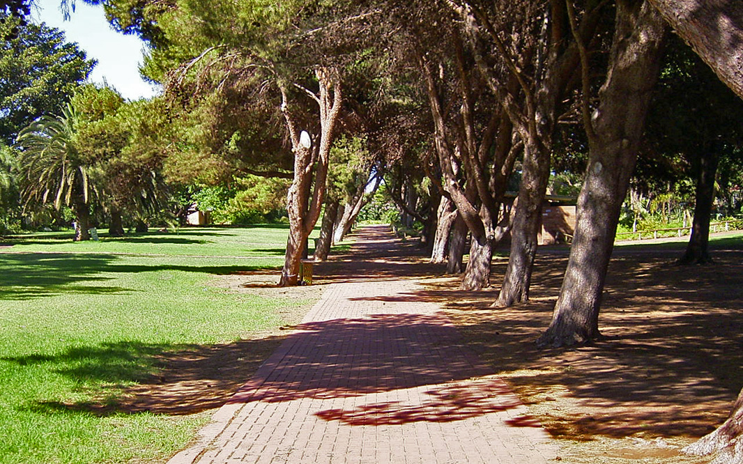
Ada Ryan Gardens: The lush greenery of Ada Ryan Gardens, December 2003. Image © Michael Greenslade |
 |
Ada Ryan Gardens: The lush greenery of Ada Ryan Gardens, December 2003. Image © Michael Greenslade |
 |
Ada Ryan Gardens: The lush greenery of Ada Ryan Gardens, December 2003. Image © Michael Greenslade |
 |
Ada Ryan Gardens: Ada Ryan Gardens, looking south in Whyalla, December 2003. Image © Michael Greenslade |
 |
Town Centre: Farrell St, Whyalla, December 2003. Image © Michael Greenslade |
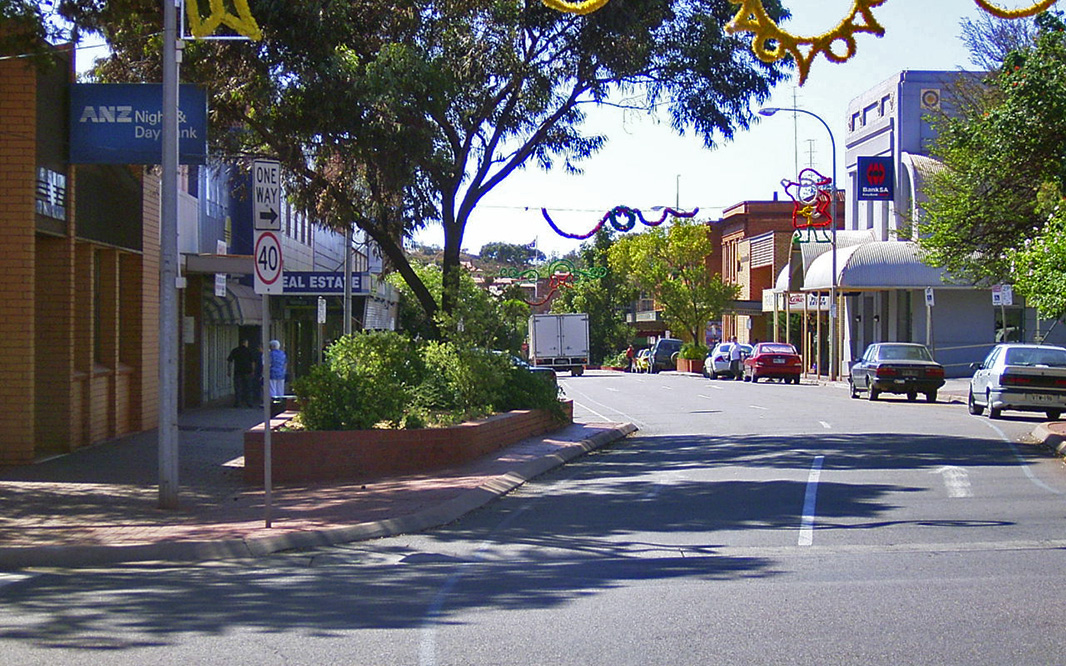 |
Town Centre: Forsyth Street, looking east at the junction with Farrell Street, Whyalla, December 2003. Image © Michael Greenslade |
 |
Town Centre: Forsyth St, Whyalla, December 2003. Image © Michael Greenslade |
 |
Caption Title: Looking west down Patterson Street from Jamieson Tce, Whyalla, December 2003. Image © Michael Greenslade |
 |
Whyalla: Suburban Whyalla, along Elliott St, December 2003. Image © Michael Greenslade |
 |
Jenkins Avenue: View of the varied scenery around Whyalla, December 2003. Image © Michael Greenslade |
1 Australian Bureau of Statistics, 2016 Census Quickstats
Last updated: 24-Dec-2020 0:10
This site © Paul Rands. All rights reserved. Some portions © (copyright) by their respective and credited owners. Permission must be obtained before using any images from this site. For details, please email by clicking here.