|
|
|
|
|
Nairne, located in the eastern Adelaide Hills lies between Mt Barker and Murray Bridge on the Old Princes Highway. Established originally as part of the short lived gold mining operations that resulted from the nearby Kanmantoo and Callington, the town eventually became an important stop on the Princes Highway, until it was bypassed by the South-Eastern Freeway in the mid 1970's. Nairne, along with the small town of Littlehampton (4km west) have now become quiet settlements which, along with the nearby Mt Barker have undergone recent growth due to their peaceful settings and close proximity with Adelaide.
| Preview: | Description: |
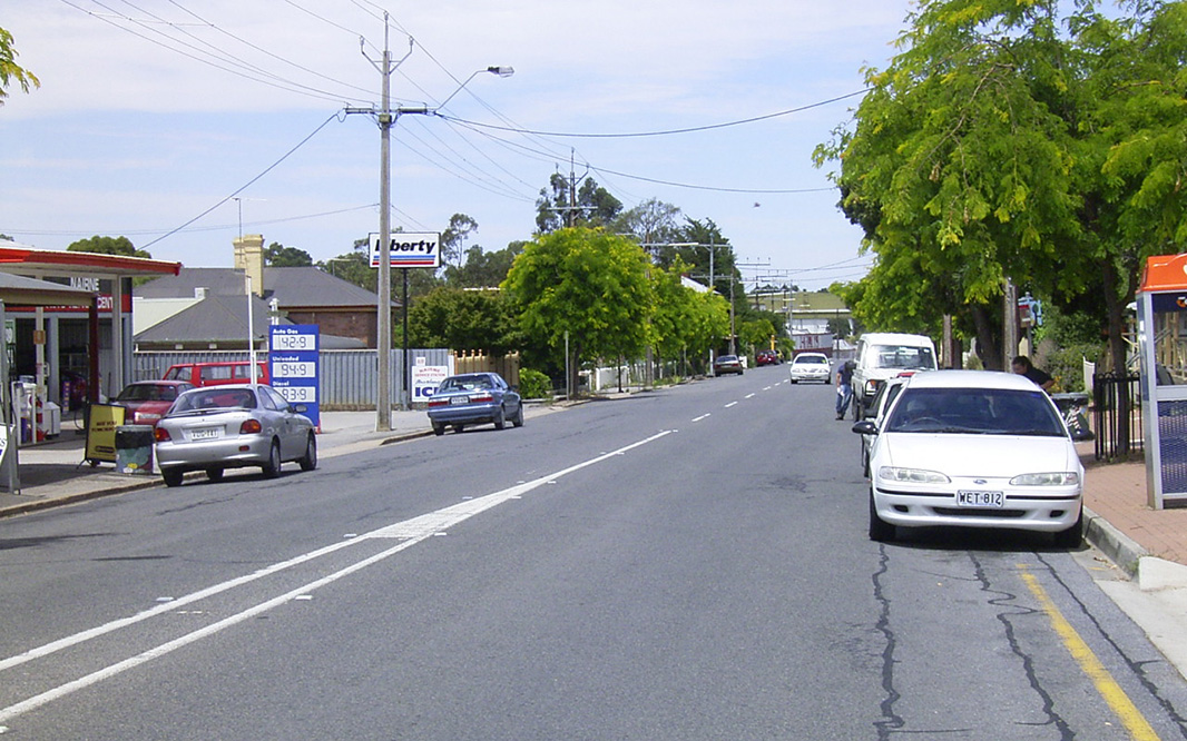 |
Main Road: Main Road (Old Princes Hwy), looking east between Jeffrey and Thomas Streets, Nairne, January 2004. Image © Michael Greenslade |
 |
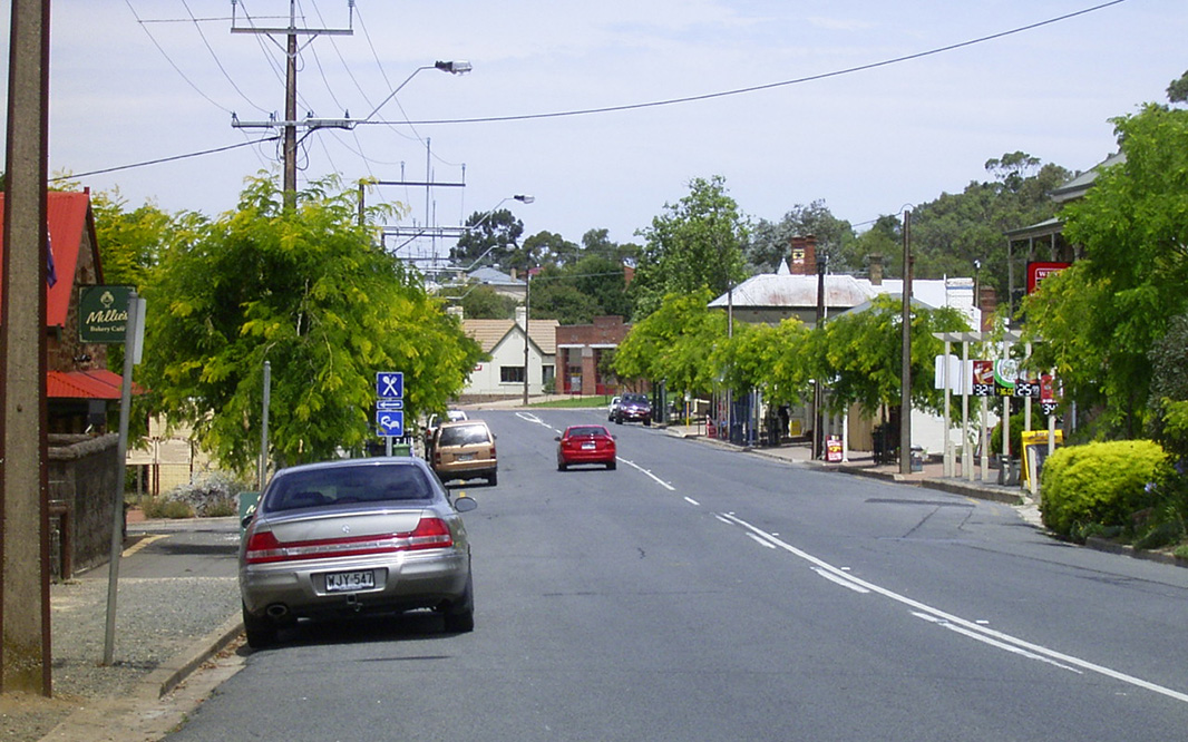
Nairne Town Centre: Main Road, looking north-west from Jeffrey Street, Nairne, January 2004. Image © Michael Greenslade |
 |
Nairne Town Centre: Main Road again, this time looking south-east from Church Street, Nairne , January 2004. Image © Michael Greenslade |
1 Australian Bureau of Statistics, 2016 Census Quickstats
Last updated: 23-Dec-2020 12:46
This site © Paul Rands. All rights reserved. Some portions © (copyright) by their respective and credited owners. Permission must be obtained before using any images from this site. For details, please email by clicking here.