|
|
|
|
|
Miles, a small town located in the northern Darling Downs lies at the junction of the Warrego and Leichhardt Highways. The town was originally named Dogwood Crossing (after the local Dogwood Creek) but the name changed to Miles after the railway line opened in 1880. To the north lies Possum Park which is essentially a camping ground, however has the addition of a former underground bunker used by the RAAF in WW2. The town itself is quite nice considering its size, the surrounding dry environment with an abundance of services for motorists due to the major highway intersection.
| Preview: | Description: |
 |
Miles Town Centre: Murilla Street (Warrego Hwy), heading west in Miles, April 2004. Image © Michael Greenslade |
 |
Miles
Town Centre: Looking west along Murilla Street, Miles, April 2004. Image © Michael Greenslade |
 |
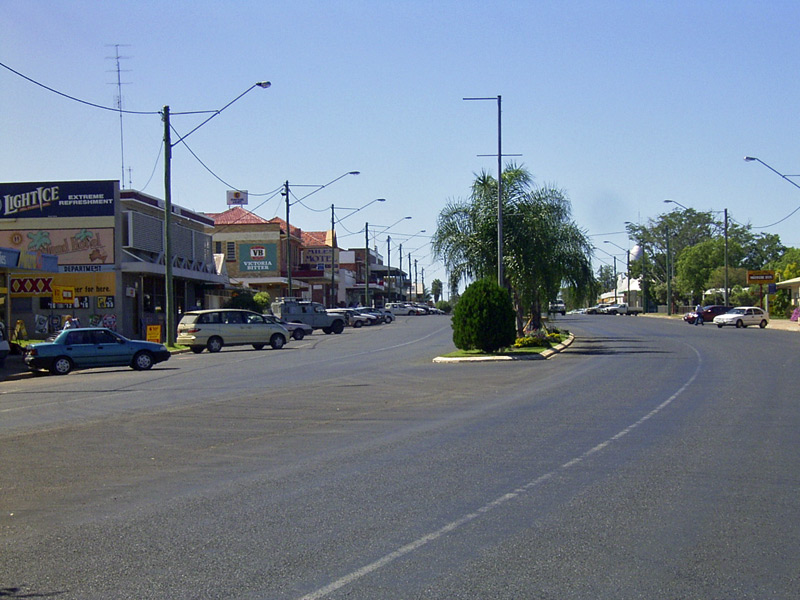
Miles
Town Centre: Looking east along Murilla Street (Warrego/Leichhardt Hwys), April 2004. Image © Michael Greenslade |
 |
Miles
Town Centre: Looking east along Murilla Street (Warrego/Leichhardt Hwys), April 2004. Image © Michael Greenslade |
1 Australian Bureau of Statistics, 2016 Census QuickStats
Last updated: 22 Nov 2019 12:58
This site © Paul Rands. All rights reserved. Some portions © (copyright) by their respective and credited owners. Permission must be obtained before using any images from this site. For details, please email by clicking here.