|
|
|
|
|
Thomas Road (State Route 21) |
Statistics:
Route Numbering:
General Information:
The route connects Kwinana area, Tonkin Highway and Kwinana Freeway with both major north-south routes in Perth's southern suburbs, namely Rockingham Road and South Western Highway.
The route is divided multi-lane between Rockingham Rd and the Kwinana Fwy, and single lane each way rural highway between the Kwinana Fwy and South Western Hwy. Thomas Road passes through some of Perth's newer residential suburbs, but also rural farmlands.
History:
| Preview: | Description: |
 |
Western Terminus: Image © Paul Rands |
 |
Gilmore Avenue Intersection: Image © Paul Rands |
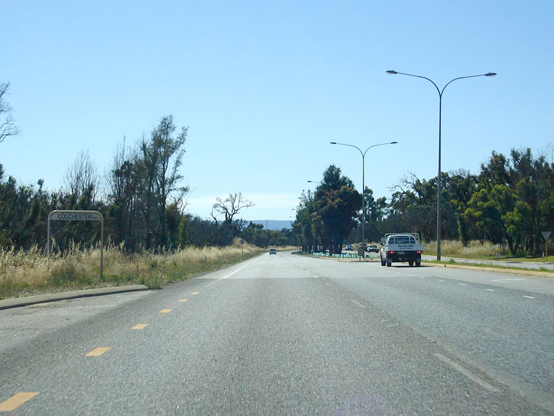 |
Colchester Avenue Intersection: Image © Paul Rands |
 |
Advance Directional Sign: Image © Paul Rands |
 |
Kwinana Railway Station Junction: Image © Paul Rands |
 |
Advance Directional Sign: Image © Paul Rands |
 |
Kwinana Fwy Interchange: Image © Paul Rands |
 |
Kwinana Freeway Interchange: Image © Paul Rands |
 |
Advance Directional Sign: Image © Paul Rands |
 |
Nicholson Road Intersection: Image © Paul Rands |
 |
Advance Directional Sign: Image © Paul Rands |
 |
Tonkin Highway Intersection: Image © Paul Rands |
 |
Intersection Directional Sign: ID sign facing traffic at the Tonkin Hwy (SR4) terminus at Darling Downs. December 2007. Image © Paul Rands |
 |
Approaching Wungong Rd Sth: Eastbound at Darling Downs, December 2007. Image © Paul Rands |
 |
Level Crossing: Eastbound as you cross the Perth-Bunbury railway line at Darling Downs. December 2007. Image © Paul Rands |
 |
Approaching South Western Hwy: Approaching the eastern terminus of SR21 at Darling Downs, December 2007. Image © Paul Rands |
 |
End SR21: Trailblazer assembly showing the end of state route 21 where it meets the South Western Hwy at Darling Downs, December 2007. Image © Paul Rands |
 |
Eastern Terminus: SR21 meeting with South Western Hwy (SR20) at Darling Downs. This intersection was once part of National Route 1. December 2007. Image © Paul Rands |
Last updated: 08 Nov 2019 01:09
This site © Paul Rands. All rights reserved. Some portions © (copyright) by their respective and credited owners. Permission must be obtained before using any images from this site. For details, please email by clicking here.