|
|
|
|
|
 |
| ID sign with remnant NR1 shield on the corner Warrigal Rd (MR15) and Princes Hwy (ALT-NR1) in Oakleigh, 2007. Image © Viseth Uch |
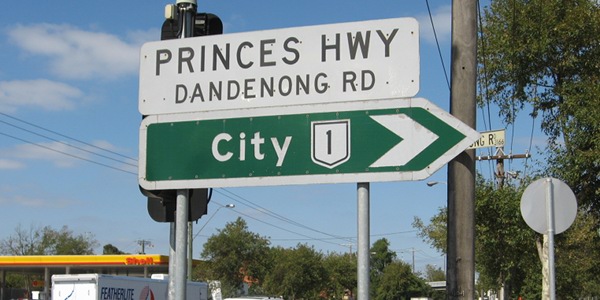
In Victoria, there is 1 remaining National Route, which is located in Metropolitan Melbourne. There were several more National Routes across the state, however these were converted to alphanumeric route numbers in 1996, with the introduction of the Statewide Numbering Scheme.
National routes were introduced to Australia in 1954, after successful trialling of NR31 along the Hume Highway corridor in New South Wales and Victoria.
Below are the various routes this site has photos of. The routes are sorted by their route number
| Route Number: | Description: | Preview: |
 |
National Route 79 (Southbank to West Melbourne): Kings Way, King Street, Curzon Street, Harker Street & Flemington Road |
 |
Last updated: 25-May-2017 6:53
This site © Paul Rands. All rights reserved. Some portions © (copyright) by their respective and credited owners. Permission must be obtained before using any images from this site. For details, please email by clicking here.