|
|
|
|
|
| M1 A1 | Princes Highway, West Gate Freeway, CityLink, Monash Freeway & Princes Freeway (M1 / A1) - Bairnsdale to Kalimna |
Statistics:
Route Numbering:
 1
1General Information:
M1 / A1 is a major route that crosses roughly from east to west in Victoria. The standard varies from single carriageway rural highway to full freeway standard.
Princes Highway (East):
The eastern section of the Princes Highway connects Traralgon to the Gippsland area and also Victoria's northeast. It's mostly undivided rural highway, generally one lane each way with occasional overtaking lanes. Several of the towns serviced by the route are very popular tourist destinations.
History:
| Bairnsdale to Kalimna | Kalimna to Bairnsdale | |||
| Preview: | Description: | Preview: | Description: | |
 |
Entering Bairnsdale City: Princes Hwy as it enters the Bairnsdal City council boundary, January 2017. Click here for a photo by Paul Rands of this location from September 2009. Image © Huang Milton Collection |
 |
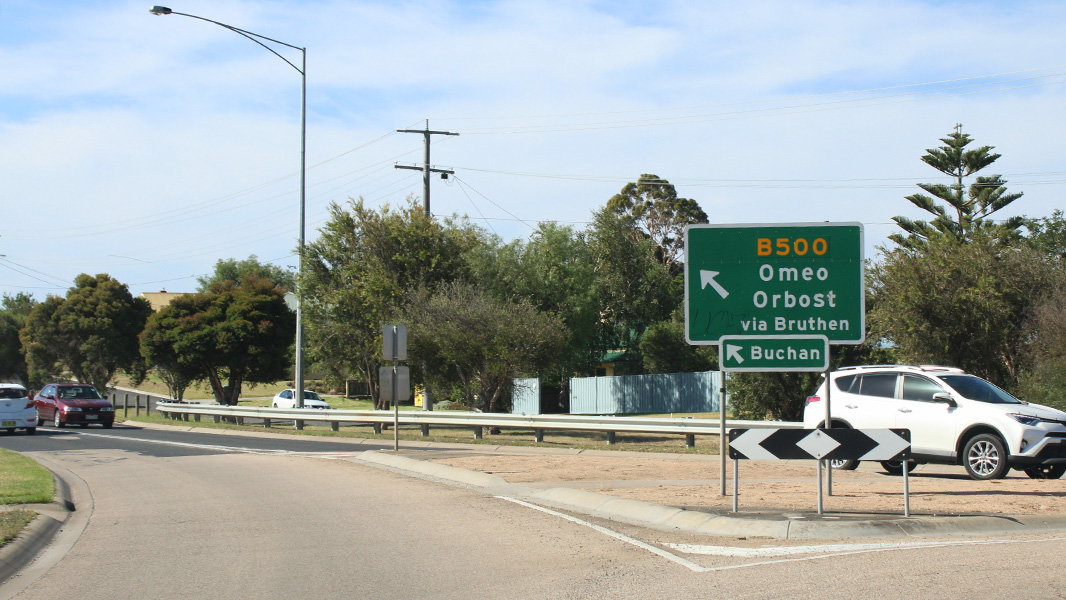
Intersection Directional Sign: ID sign at the roundabout with Great Alpine Rd (B500) at Bairnsdale, May 2011. Image © Paul Rands |
|
 |
Supplemental Advance Directional Sign: Supplemental AD sign for Great Alpine Rd (B500) at Bairnsdale, January 2017. Click here for a photo by Paul Rands of this location from September 2009. Image © Huang Milton Collection |
 |
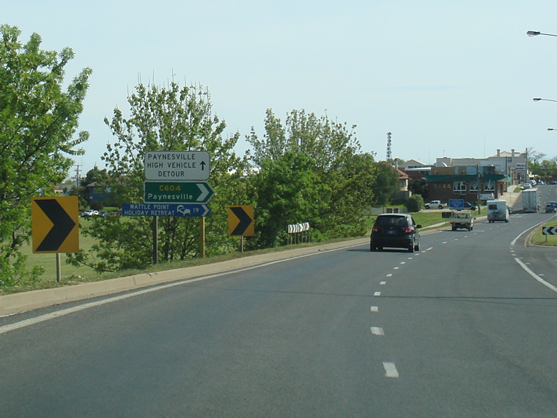
Advance Directional Sign: AD sign at Bairnsdale approaching Paynesville Rd (C604 / TD2), September 2009. Image © Paul Rands |
|
 |
Dargo Road Intersection: Corner of Princes Hwy (A1) and Dargo Rd (C601) at Bairnsdale, January 2017. Image © Huang Milton Collection |
 |
Mitchell River: Princes Hwy as it crosses Mitchell River at Bairnsdale, September 2009. Image © Paul Rands |
|
 |
Start Divided Road: The beginning of the divided road through Bairnsdale's CBD, September 2009. Image © Paul Rands |
 |
Paynesville Road Intersection: Corner of Princes Hwy (A1) and Paynesville Rd (C604), September 2009. Image © Paul Rands |
|
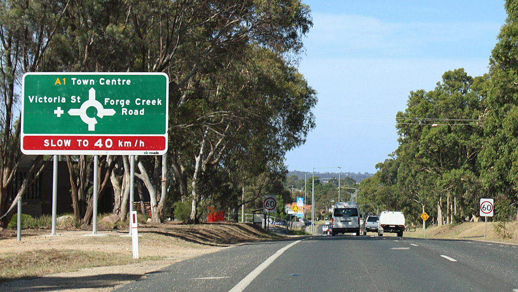 |
Advance Directional Sign: AD sign approaching the roundabout with Victoria St & Forge Ck Rd in Bairnsdale, January 2017. Image © Huang Milton Collection |
 |
Approaching Wy Yung Road & Service Street: Princes Hwy (A1) at Bairnsdale approaching Wy Yung Rd and Service St, September 2009. Image © Paul Rands |
|
 |
McCulloch St & Macarthur St Intersection: Corner of Princes Hwy (A1), McCulloch St and Macarthur St in Bairnsdale, September 2009. Image © Paul Rands |
 |
McCulloch St & Macarthur St Intersection: Corner of Princes Hwy (A1), McCulloch St and Macarthur St in Bairnsdale, September 2009. Image © Paul Rands |
|
 |
Bairnsdale CBD: Princes Hwy as it passes through Bairnsdale, September 2009. Image © Paul Rands |
 |
Advance Directional Sign: AD sign approaching the roundabout with Victoria St & Forge Ck Rd in Bairnsdale, May 2011. Image © Paul Rands |
|
 |
Approaching Wy Yung Road & Service Street: Princes Hwy (A1) at Bairnsdale approaching Wy Yung Rd and Service St, September 2009. Image © Paul Rands |
 |
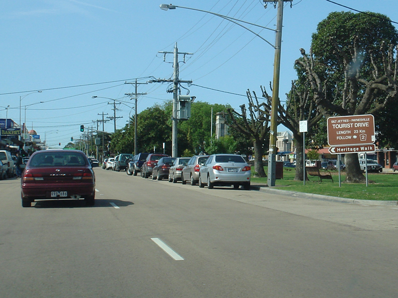
Reassurance Directional Sign: Distance sign at Bairnsdale, May 2011. Image © Paul Rands |
|
 |
Advance Directional Sign: AD sign at Bairnsdale approaching Paynesville Rd (C604 / TD2), January 2017. Image © Huang Milton Collection |
 |
Advance Directional Sign: AD sign at Bairnsdale approaching Bengworden Rd (C106), May 2011. Image © Paul Rands |
|
 |
Paynesville Road Intersection: Corner of Princes Hwy (A1) and Paynesville Rd (C604), January 2017. Image © Huang Milton Collection |
|||
 |
Mitchell River: Princes Hwy as it crosses Mitchell River at Bairnsdale, September 2009. Image © Paul Rands |
|||
 |
Lucknow: Princes Hwy (A1) as it enters the town of Lucknow, September 2009. Image © Paul Rands |
|||
 |
Advance Directional Sign: AD sign at Lucknow approaching the roundabout with Great Alpine Rd (B500), January 2017. Image © Huang Milton Collection |
|||
 |
Great Alpine Road Junction: Princes Hwy (A1) at the roundabout with Great Alpine Rd (B500) at Lucknow, January 2017. Image © Huang Milton Collection |
|||
 |
Intersection Directional Sign: ID sign at the roundabout with Great Alpine Rd (B500) in Lucknow, January 2017. Image © Huang Milton Collection |
|||
 |
Intersection Directional Sign: ID sign at the roundabout with Great Alpine Rd (B500) in Lucknow, January 2017. Image © Huang Milton Collection |
|||
 |
Intersection Directional Sign: ID sign at the roundabout with Great Alpine Rd (B500) in Lucknow, September 2009. Image © Paul Rands |
|||
 |
Unusual Warning Sign: Unusual warning sign at Lucknow, September 2009. Image © Paul Rands |
|||
 |
Distance Sign: RD sign as you leave Lucknow, September 2009. Image © Paul Rands |
|||
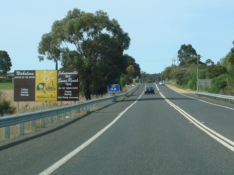 |
Entering Nicholson: Princes Hwy as it enters the town of Nicholson, September 2009. Image © Paul Rands |
|||
 |
Nicholson Town Centre: Princes Hwy as it passes through Nicholson, September 2009. Image © Paul Rands |
|||
 |
Nicholson River: Princes Hwy as it crosses the Nicholson River at Nicholson, September 2009. Image © Paul Rands |
|||
 |
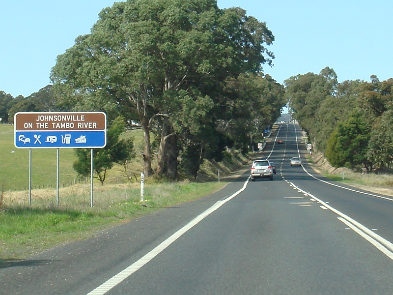
Supplemental Advance Directional Sign: Supplemental AD sign at Johnsonville, for Metung Rd (C606). Image © Huang Milton Collection |
|||
 |
Services Sign: Services sign Nicholson approaching Stephenson Road and Ellasvile Road, September 2009. Image © Paul Rands |
|||
 |
Advance Directional Sign: AD sign Nicholson approaching Stephenson Road and Ellasvile Road, January 2017. Image © Huang Milton Collection |
|||
 |
Black Intersection Directional Sign: Black ID sign Nicholson at the junction with Stephenson Road and Ellasvile Road, September 2009. Image © Paul Rands |
|||
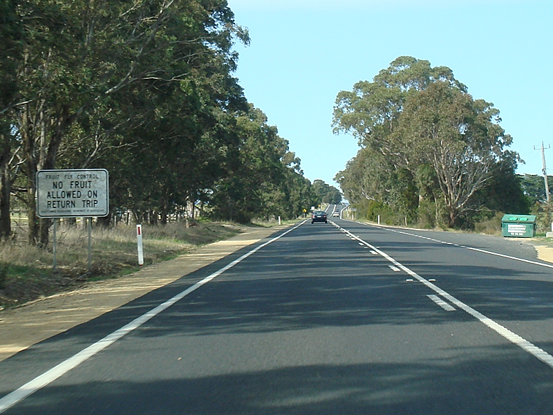 |
Fruit Prohibition Sign: Fruit prohibition sign on Princes Hwy (A1) at Nicholson, September 2009. Image © Paul Rands |
|||
 |
Entering Johnsonville: Princes Hwy as it enters Johnsonville, September 2009. Image © Paul Rands |
|||
 |
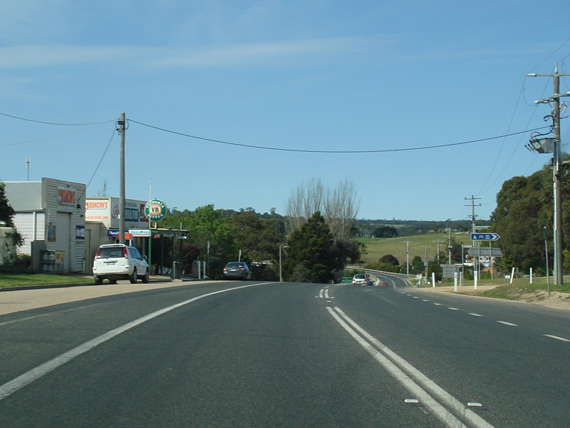
Johnsonville: Princes Hwy as it passes through the Johnsonville town centre, September 2009. Image © Paul Rands |
|||
 |
Entering Swan Reach: Princes Hwy as it enters the Swan Reach area, September 2009. Image © Paul Rands |
|||
 |
Swan Reach-Bruthen Road Intersection: Corner of Princes Hwy (A1) and Swan Reach-Bruthen Rd (C605) at Swan Reach, January 2017. Image © Huang Milton Collection |
|||
 |
Swan Reach Town Centre: Princes Hwy as it passes through Swan Reach, September 2009. Image © Paul Rands |
|||
 |
Advance Directional Sign: AD sign at Swan Reach approaching the intersection with Metung Rd (C606), September 2009. Image © Paul Rands |
|||
 |
Tambo River: Princes Hwy as it crosses the Tambo River at Swan Reach, September 2009. Image © Paul Rands |
|||
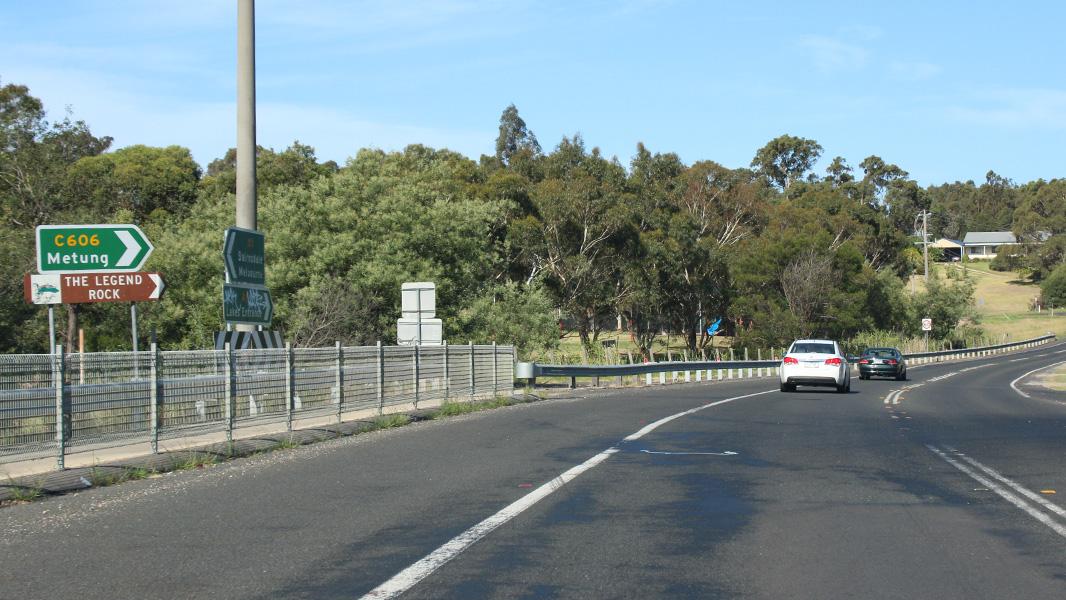 |
Metung Road Intersection: Corner of Princes Hwy (A1) and Metung Rd (C606) at Swan Reach, January 2017. Image © Huang Milton Collection |
|||
 |
Advance Directional Sign: AD sign at Kalimna West approaching Bruce Rd & Nungurner Rd, September 2009. Image © Paul Rands |
|||
 |
Bruce Road & Nungurner Road Intersection: Corner of Princes Hwy (A1), Bruce Rd and Nungurner Rd at Kalmina West, September 2009. Image © Paul Rands |
|||
 |
Advance Directional Sign: AD sign (which should be blue not brown) approaching the Lakes Entrance Airfield at Kalimna West, September 2009. Image © Paul Rands |
|||
 |
Kalimna West Road Intersection: Corner of Princes Hwy (A1) and Kalimna West Rd in Kalimna West, September 2009. Image © Paul Rands |
|||
| Click here for the continuation of A1 between Kalimna and Orbost Click here for the continuation of A1 between Sale and Bairnsdale |
||||
1 Viseth Uch
2 Vicroads Road Management Plan, 30 October 2004
3 Office of the Minister For Public Transport, Media Release, Extra Protection for Princes Highway Crossing, 02 September 2008
Last updated: 19-Aug-2020 14:45
This site © Paul Rands. All rights reserved. Some portions © (copyright) by their respective and credited owners. Permission must be obtained before using any images from this site. For details, please email by clicking here.