|
|
|
|
|
| M1 A1 | Princes Highway, West Gate Freeway, CityLink, Monash Freeway & Princes Freeway (M1 / A1) - Morwell to Rosedale |
Statistics:
Route Numbering:
 1
1
General Information:
M1 / A1 is a major route that crosses roughly from east to west in Victoria. The standard varies from single carriageway rural highway to full freeway standard.
Multiplexes along the route include:
Princes Highway (East):
The eastern section of the Princes Highway connects Traralgon to the Gippsland area and also Victoria's northeast. It's mostly undivided rural highway, generally one lane each way with occasional overtaking lanes. Several of the towns serviced by the route are very popular tourist destinations.
History:
Click here for photos of the former alignment between Morwell and Rosedale
| Morwell to Rosedale | Rosedale to Morwell | |||
| Preview: | Description: | Preview: | Description: | |
 |
Village Avenue Intersection: Corner of Princes Hwy (A1) at Traralgon, at the junction with Village Av, May 2011. Image © Paul Rands |
 |
Rosedale-Heyfield Road: Corner of Princes Hwy (A1) and Rosedale-Heyfield Rd (C488) at Rosedale, May 2011. Image © Paul Rands |
|
 |
Advance Directional Sign: AD sign at Traralgon, approaching Airfield Rd, May 2011. Image © Paul Rands |
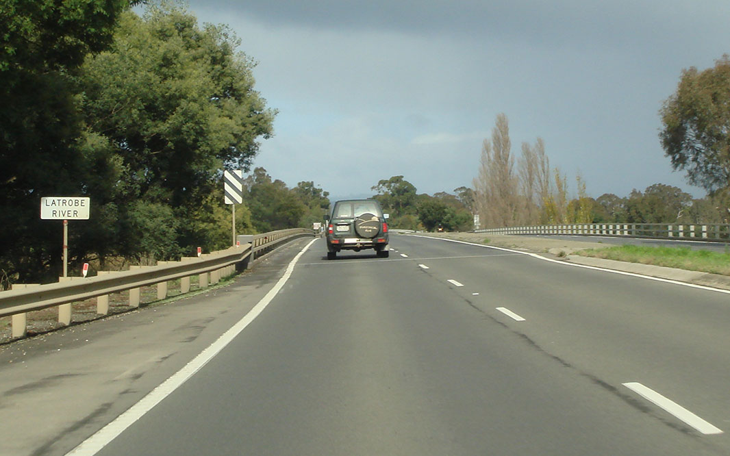 |
Latrobe River: Princes Hwy (A1) crossing Latrobe River at Rosedale, May 2011. Image © Paul Rands |
|
 |
Airfield Road Intersection: Corner of Princes Hwy (A1) and Airfield Rd, Traralgon, September 2009. Image © Paul Rands |
 |
Entering Rosedale: Princes Hwy (A1) as it enters the town of Rosedale, May 2011. Image © Paul Rands |
|
 |
Tourist Drive 94 Trailblazer: TD94 trailblazer on Princes Hwy at Traralgon, after the Airfield Rd intersection, September 2009. Image © Paul Rands |
 |
Advance Directional Sign: AD sign at Rosedale approaching Lyons St (C485), May 2011. Image © Paul Rands |
|
 |
Northern Avenue Intersection: Princes Hwy (A1) at the junction with Northern Av in Traralgon, September 2009. Image © Paul Rands |
 |
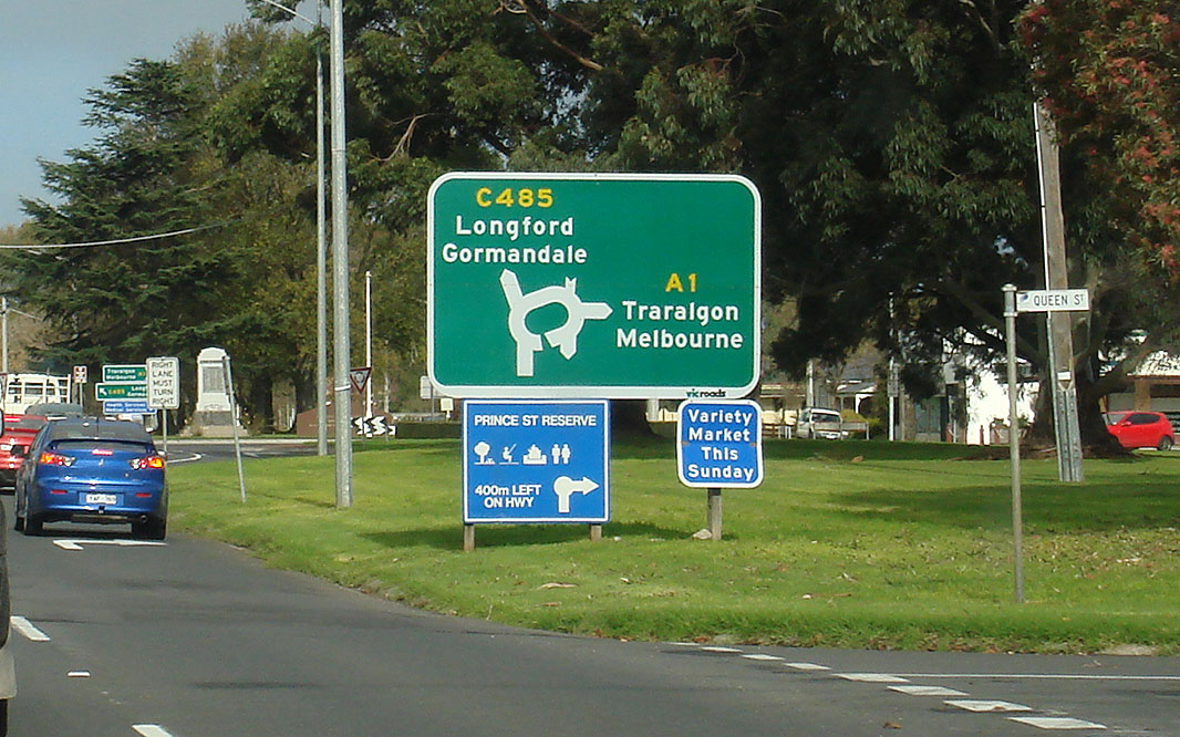
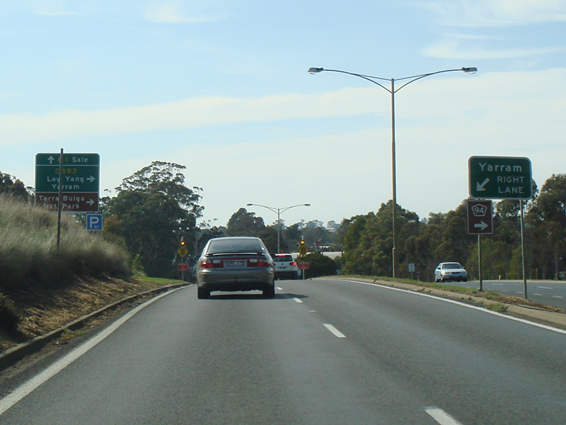
Lyons Street: ID sign assembly at the roundabout with Lyons St (C485) at Rosedale, May 2011. A1 turns right at this location. Image © Paul Rands |
|
 |
Advance Directional Sign: Services orientated AD sign at Traralgon, approaching the entrance to a local convention centre, September 2009. Image © Paul Rands |
 |
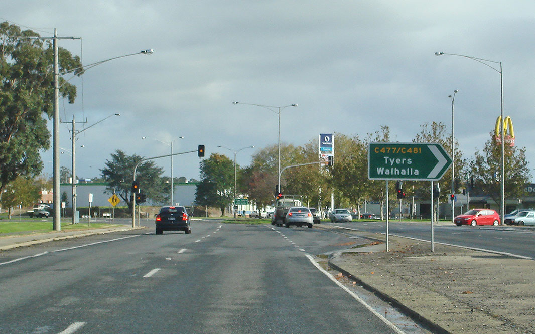
Advance Directional Sign: AD sign approaching Grey St (C477) at Traralgon, May 2011. Image © Paul Rands |
|
 |
Traralgon: Princes Hwy as it enters the 70 zone just before the Traralgon CBD, September 2009. Image © Paul Rands |
 |
Grey Street: Corner of Princes Hwy (A1) and Grey St (C477) at Traralgon, May 2011. Image © Paul Rands |
|
 |
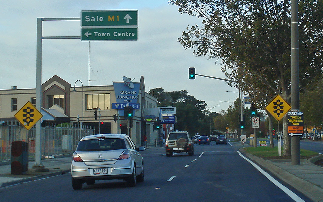
Advance Directional Sign: AD sign at Traralgon approaching the junction with Breed St and Hyland Hwy (C482 / TD94), September 2009. Image © Paul Rands |
 |
Reassurance Directional Sign: Distance sign at Morwell, May 2011. Image © Paul Rands |
|
 |
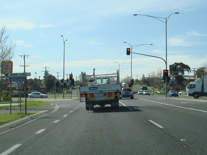
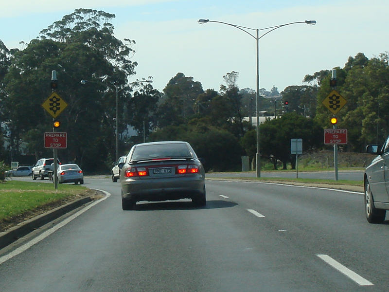
Flashing Warning Sign: Flashing warning signs for the traffic lights at the junction with Breed St and Hyland Hwy (C482 / TD94), May 2011. Click here for a photo of this location by Paul Rands from September 2009. Image © Paul Rands |
 |
Services Sign: Services sign at Morwell, May 2011. Image © Paul Rands |
|
 |
Breed Street & Hyland Highway Junction: Corner of Breed St & Hyland Hwy in Traralgon, May 2011. Image © Paul Rands |
|||
 |
Advance Directional Sign: AD sign at Traralgon approaching Franklin St, May 2011. Image © Paul Rands |
|||
 |
Flashing Warning Sign: Flashing warning signs for the traffic lights at the junction with Seymour St & Whittakers Rd, September 2009. Image © Paul Rands |
|||
 |
Advance Directional Sign: AD sign at Traralgon near Post Office Pl, for the Traralgon-Maffra Rd (C105 / TD91), August 2010. Click here for a photo of this sign assembly in September 2009. Image © Darren Hodges |
|||
 |
Tyers Road Intersection: Corner of Princes Hwy (A1) and Tyers Rd (C447) at Traralgon, September 2009. Image © Paul Rands |
|||
 |
Park Lane & Liddiard Road Intersection: Corner of Princes Hwy (A1), Park Ln and Liddiard Rd at Traralgon, September 2009. Image © Paul Rands |
|||
 |
Advance Directional Sign: AD sign at Traralgon near Wren St, for the junction with Traralgon-Maffra Rd (C105 / TD91), September 2009. Image © Paul Rands |
|||
 |
Traralgon-Maffra Road Junction: Princes Fwy (A1) at Traralgon near Wren St, for the junction with Traralgon-Maffra Rd (C105 / TD91), September 2009. Image © Paul Rands |
|||
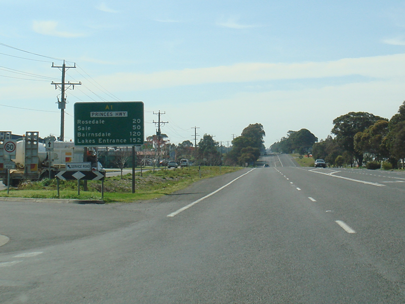 |
Distance Sign: RD sign at Traralgon, September 2009. Image © Paul Rands |
|||
 |
Entering Wellington Council Area: Princes Hwy (A1) at Flynn, September 2009. Image © Paul Rands |
|||
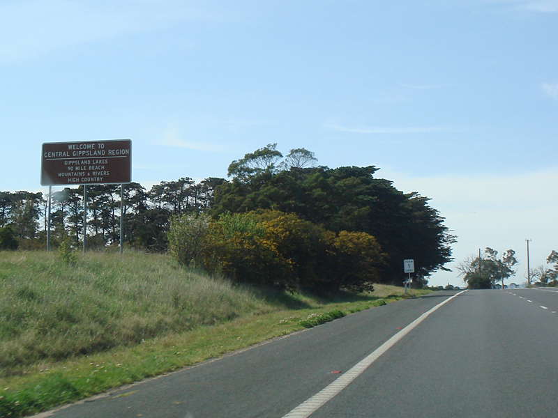 |
Welcome to The Gippsland Region: Princes Hwy (A1) as it enters The Gippsland Region at Flynn, September 2009. Image © Paul Rands |
|||
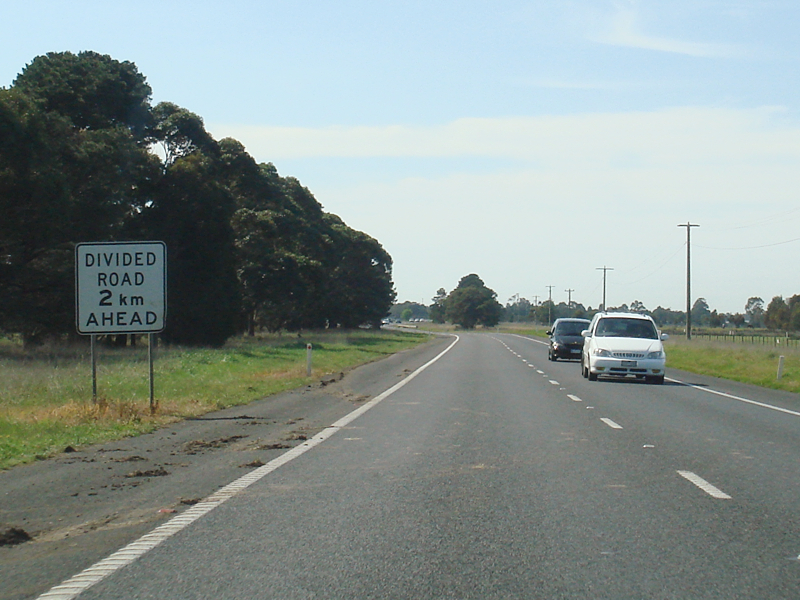 |
Divided Road 2km Ahead: Divided road ahead sign at Rosedale, September 2009. Image © Paul Rands |
|||
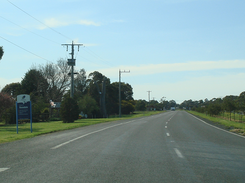 |
Entering Rosedale: Princes Hwy (A1) as it enters the town of Rosedale, September 2009. Image © Paul Rands |
|||
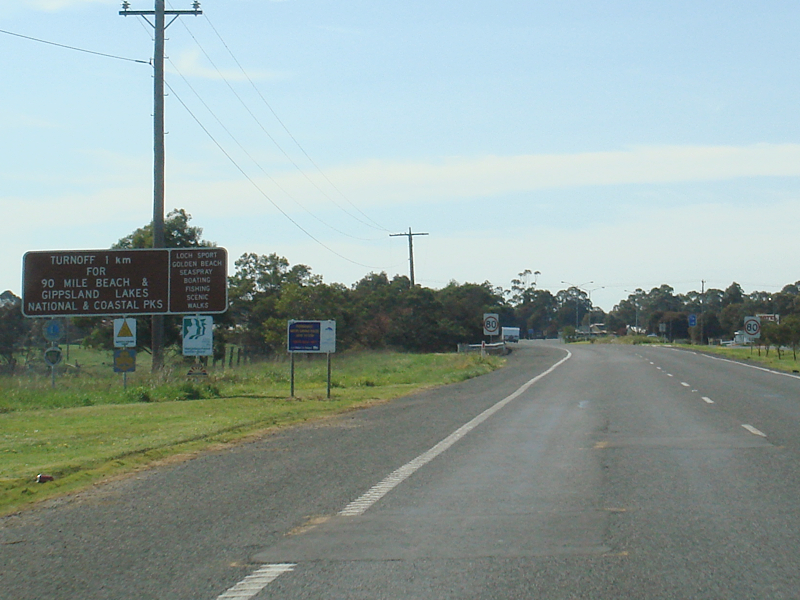 |
Supplemental Advance Directional Sign: Tourist orientated supplemental AD sign at Rosedale for the junction with Rosedale-Longford Rd (C485), September 2009. Image © Paul Rands |
|||
 |
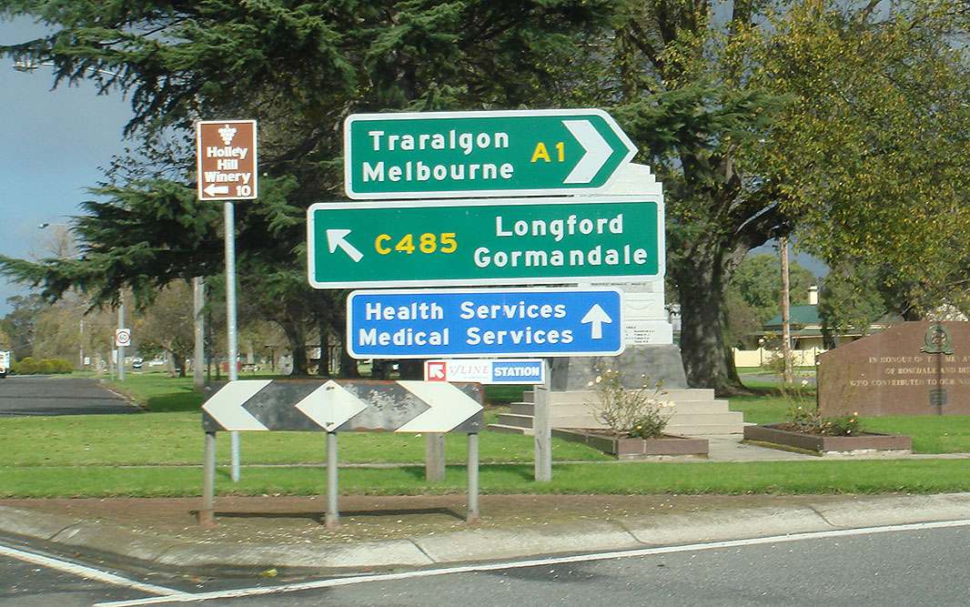
Advance Directional Sign: AD sign at Rosedale approaching the roundabout with Rosedale-Longford Rd (C485), May 2011. Princes Hwy turns left at this roundabout. Image © Paul Rands |
|||
 |
Rosedale-Longford Road Roundabout: Corner Princes Hwy (A1) and Rosedale-Longford Rd (C485) at Rosedale, September 2009. Image © Paul Rands |
|||
 |
Latrobe River: Princes Hwy (A1) as it crosses the Latrobe River at Rosedale, September 2009. Image © Paul Rands |
|||
 |
Advance Directional Sign: AD sign at Rosebud approaching Rosedale-Heyfield Rd (C488), Janaury 2017. |
|||
 |
Rosebud-Heyfield Road Intersection: Corner of Princes Hwy (A1) and Rosedale-Heyfield Rd (C488) at Rosedale, Janaury 2017. Image © Huang Milton Collection |
|||
 |
Denison Road Intersection: Corner of Princes Hwy (A1) and Denison Rd at Rosedale, September 2009. Image © Paul Rands |
|||
| Click here for the continuation of A1 between Rosedale and Sale Click here for the continuation of the route as Princes Freeway (M1) between Trafalgar and Moe |
||||
1 Viseth Uch
2 Vicroads Road Management Plan, 30 October 2004
3 Office of the Minister for Roads & Ports, Media Release, Traralgon East Highway Duplication Works Begin, 12 February 2010
4 VicRoads Princes Highway, Traralgon East
Last updated: 19-Aug-2020 12:57
This site © Paul Rands. All rights reserved. Some portions © (copyright) by their respective and credited owners. Permission must be obtained before using any images from this site. For details, please email by clicking here.