|
|
|
|
|
| M420 A420 B420 | South Gippsland Freeway, South Gippsland Highway, Bass Highway & Phillip Island Road (M/A/B420) - Anderson To Cowes |
Statistics:
Route Numbering:
General Information:
The M/A/B420 route connects Melbourne to Phillip Island, which is famous for several tourist attractions including wildlife and motorcycle racing.
The route is a mix of freeway standard from Doveton to Lynbrook and dual carriageway highway from Lynbrook to Anderson and some rural single carriageway highway standard in the Phillip Island area.
History:
Prior to construction, the South Gippsland Freeway was for a time noted in street directories as the "Eumemmerring Freeway". It was a proposed name that was never officially adopted. 3
| Anderson to Cowes | Cowes to Anderson | |||
| Preview: | Description: | Preview: | Description: | |
 |
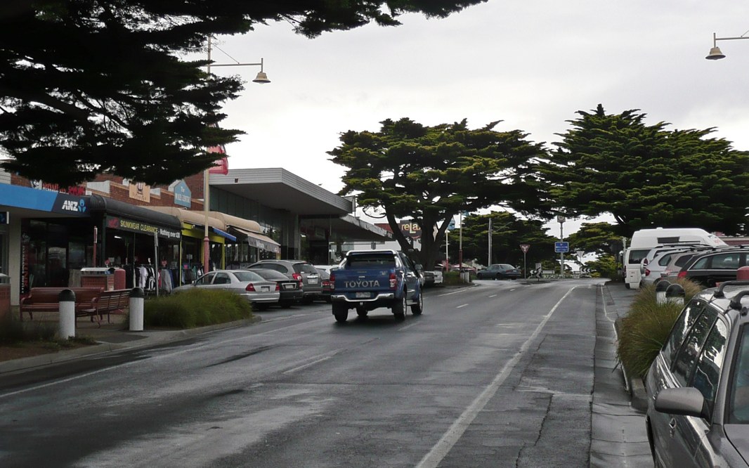
San Remo: South Gippsland Hwy (B420) as it passes the San Remo town centre, December 2013. Image © Michael Greenslade |
 |
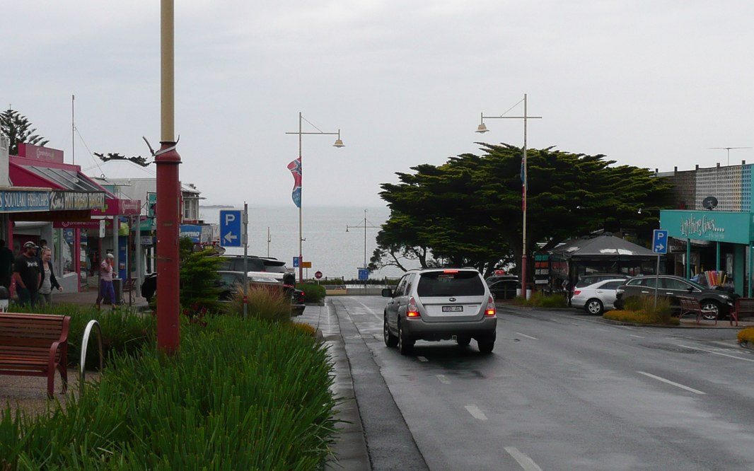
Cowes: South Gippsland Hwy (Thompson St) (South Gippsland Hwy) (B420) in the Cowes town centre, December 2013. Image © Michael Greenslade |
|
 |
Phillip Island Bridge: Taken at San Remo, this is the Phillip Island Bridge, which crosses the eastern channel of Westernport Bay from San Remo to Newhaven. 6 March 2008. This bridge replaced the old suspension bridge that was previously near this spot, and was opened on 21 November 1969 by the Country Roads Board. 4 Image © Michael Gill |
 |
Reassurance Directional Sign: Distance sign at Cowes, December 2013. Image © Michael Greenslade |
|
 |
Cowes: South Gippsland Hwy (Thompson St) (South Gippsland Hwy) (B420) in the Cowes town centre, looking towards its terminus, The Esplanade, December 2013. Image © Michael Greenslade |
 |
The Narrows: South Gippsland Hwy (B420) at Newhaven as it crosses The Narrows, December 2013. Image © Michael Greenslade |
|
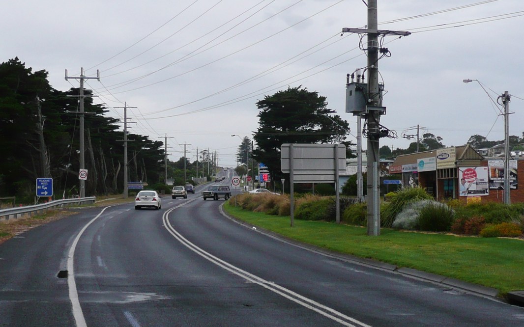 |
San Remo: South Gippsland Hwy (B420) as it passes the San Remo town centre, December 2013. Image © Michael Greenslade |
|||
 |
Intersection Directional Sign: ID sign assembly on the corner of Phillip Island Rd (B420), Bass Hwy (A420 / B460) at Anderson. March 2008. Image © Michael Gill |
|||
| Click here for the continuation of the route as A420 between Anderson and Lang Lang | ||||
1 Sam Laybutt
2 VicRoads
3 BJ Winzer
4 Viseth Uch
5 Victorian Government
6 Phillip McCallum
Last updated: 07-Jan-2020 13:28
This site © Paul Rands. All rights reserved. Some portions © (copyright) by their respective and credited owners. Permission must be obtained before using any images from this site. For details, please email by clicking here.