|
|
|
|
|
| C606 | Metung Road (C606) |
Statistics:
Route Numbering:

General Information:
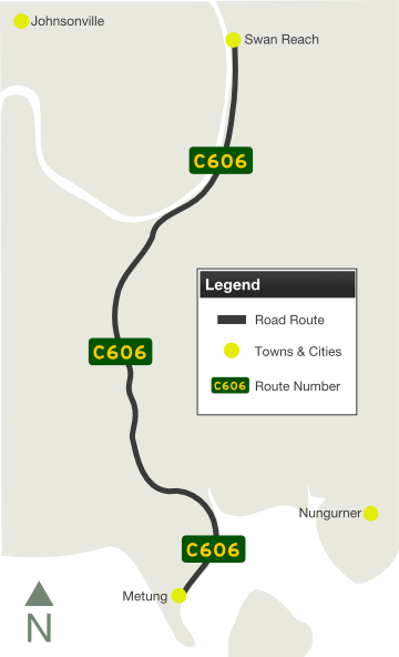
C606 is a rural route in East Gippsland that links the holiday town of Metung with the Princes Highway. It forms part of the Gippsland Lakes Tourist Drive.
Multiplexes along the route include:
| Preview: | Description: |
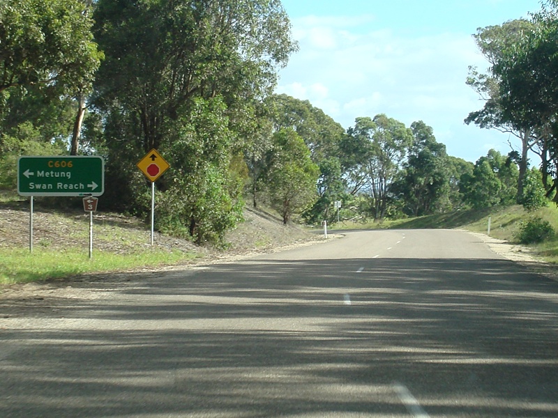 |
Advance Directional Sign: AD sign on Nungurner Road approaching Metung Road (C606 / TD3). Metung, April 2010. Image © Paul Rands |
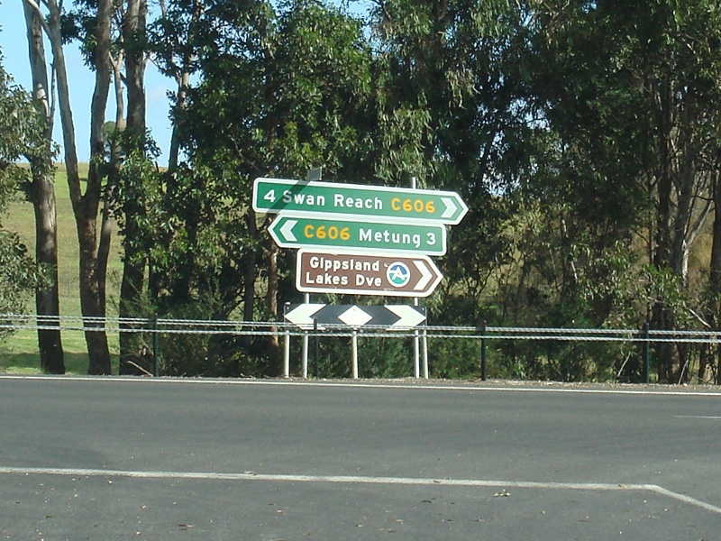 |
Intersection Directional Sign: ID sign facing Nungurner Road. Metung, April 2010. Image © Paul Rands |
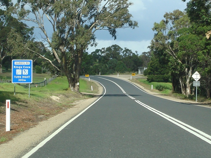 |
Services Sign: Southbound services sign near Hardys Road. Metung, April 2010. Image © Paul Rands |
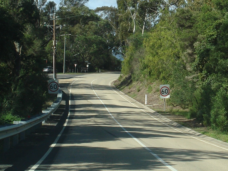 |
Approaching Rosherville Road: Metung Rd as it approaches the intersection with Roshervile Rd. Metung, April 2010. Image © Paul Rands |
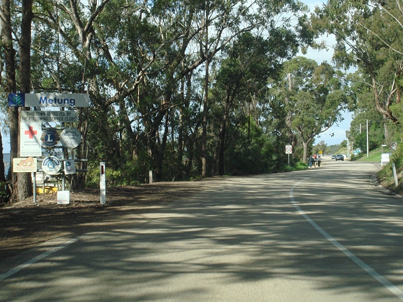 |
Entering Metung: Metung Road as it enters the town of Metung, April 2010. Image © Paul Rands |
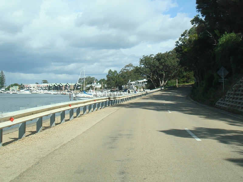 |
Metung Town Centre: Metung Road as it passes Lake Victoria and enters the CBD of Metung, April 2010. Image © Paul Rands |
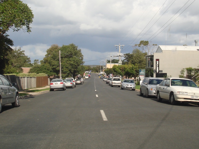 |
Metung Town Centre: Metung Road as it passes through the Metung town centre, April 2010. Image © Paul Rands |
1 Vicroads Road Management Plan, 30 October 2004
Last updated: 12-Feb-2019 19:05
This site © Paul Rands. All rights reserved. Some portions © (copyright) by their respective and credited owners. Permission must be obtained before using any images from this site. For details, please email by clicking here.