|
|
|
|
|

|
Brooker Highway, Midland Highway & Bass Highway (National Highway 1) - Launceston to Campbell Town |
Statistics:
Route Numbering:

General Information:
Highway 1 is a circumferential route right around Australia, but there is also a small segment located in Tasmania, which more or less travels down the centre of the state. In Tasmania, National Highway 1 is made up of the Brooker Highway between Granton and Hobart, the Midland Highway between Granton and Launceston, and also the Bass Highway between Burnie and Launceston.
The occurence of NH1 is a bit of an anomoly and stands out compared to all other routes in the state being alpha-numeric. In the late 1970s when the Tasmanian authorities decided to introduce an alphanumeric numbering system (the first Australian state to do so), the Federal Government who funded National Highways, stopped the Tasmanian government from allocating an alphanumeric number to the route.
From Launceston, the Midland Hwy passes through Perth, Epping Forest, Campbell Town, Ross, Oatlands, Bagdad, Brighton, Bridgewater and into Hobart.
The Midland Highway's highest elevation along its length is 493m and the lowest point is at -0.495m.
The Midland Highway connects with the Bass Highway, the Domain Highway, the East Derwent Highway, the East Tamar Highway, the Esk Main Road, the Huon Highway Southern Outlet, the Illawarra Road, the Lake Highway, the Lyell Highway, the Mud Walls Road, the Tasman Highway and the West Tamar Highway.
History:
| Launceston To Campbell Town | Campbell Town to Launceston | |||
| Preview: | Description: | Preview: | Description: | |
 |
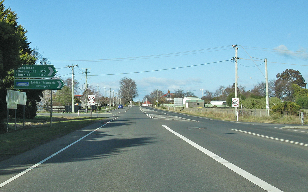
Advance Directional
Sign: AD sign approaching Brisbane St (A3) in Launceston, July 2018. Image © Paul Rands |
 |
Intersection
Directional Sign: ID sign facing Panec St at Conara, July 2018. Image © Paul Rands |
|
 |
Advance Directional
Sign: AD sign at Launceston, approaching York St (A3), July 2018. Image © Paul Rands |
 |
Drummond Street: Corner of Midland Hwy (NH1) and Drummond St (B52) at Perth, July 2018. Image © Paul Rands |
|
 |
Advance Directional
Sign: AD sign at Launceston, approaching York St (A3), July 2018. Image © Paul Rands |
 |
Clarence Street &
Old Punt Road: Corner of Midland Hwy (NH1), Clarence St (C417) and Old Punt Rd, Perth, July 2018. Image © Paul Rands |
|

|
Advance
Directional Sign: AD sign at Launceston approaching Wellington St, July 2018. Image © Paul Rands |
 |
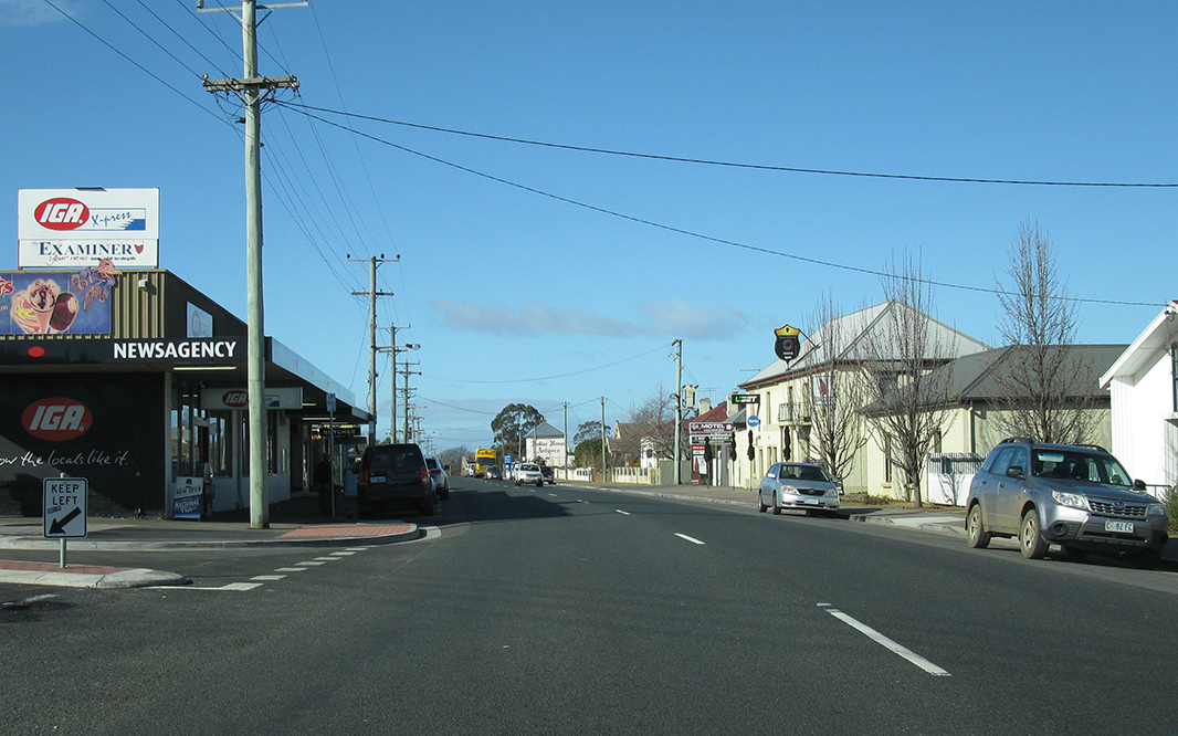
Black Intersection
Directional Sign: Black ID sign on Hobart Rd, South Launceston, July 2018. Image © Paul Rands |
|

|
Wellington
Street: Corner of Midland Hwy (NH1) and Wellington St, Launceston, July 2018. Image © Paul Rands |
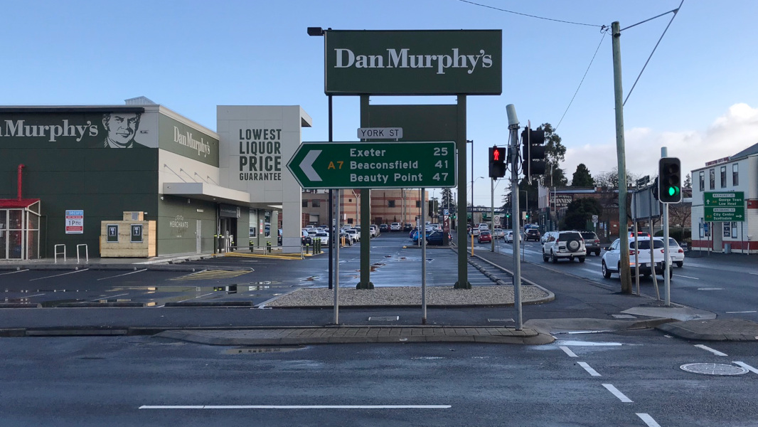 |
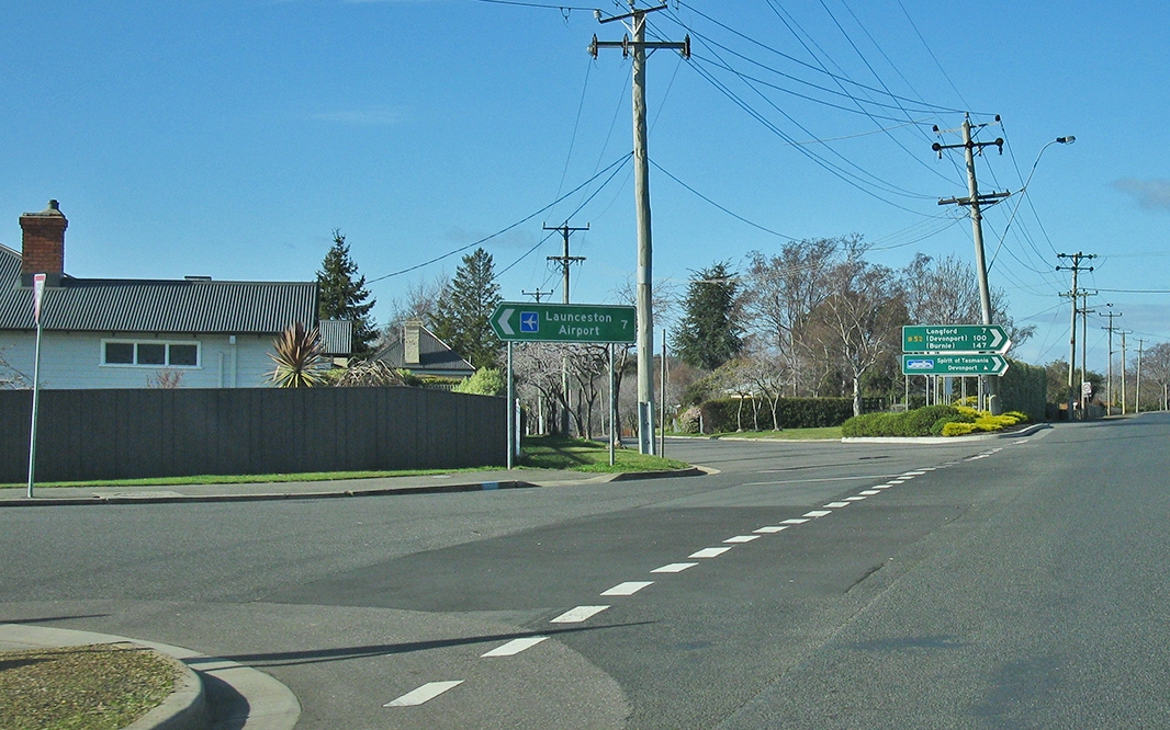
Intersection
Directional Sign: ID sign at the junction with York St (A3) in Launceston, July 2018. Image © Paul Rands |
|

|
Haggerston
Road: Midland Hwy (NH1) at Breadalbane at the Haggerston Rd interchange, July 2018. Image © Paul Rands |
 |
Advance Directional
Sign: AD sign approaching Brisbane St (A3) in Launceston, July 2018. Image © Paul Rands |
|

|
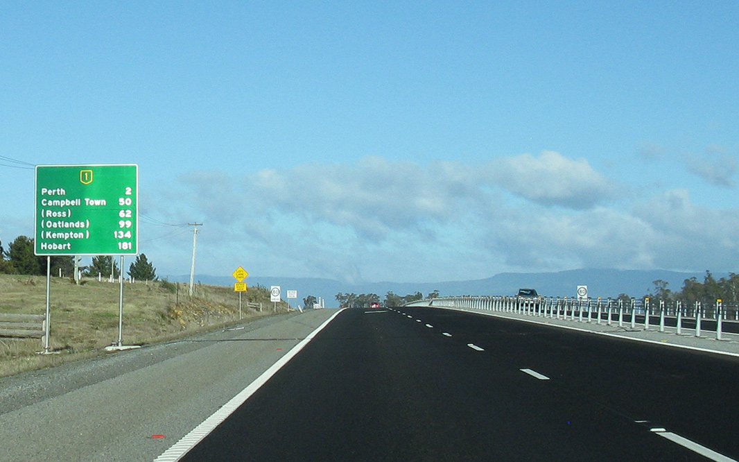
Reassurance
Directional Sign: Distance sign at Breadalbane, July 2018. Image © Paul Rands |
 |
Intersection
Directional Sign: ID sign at the junction with Brisbane St (A3) in Launceston, July 2018. Image © Paul Rands |
|

|
Haggerston
Road: Midland Hwy (NH1) at Perth at the Haggerston Rd interchange, July 2018. Image © Paul Rands |
|||
|
Reassurance
Directional Sign: Distance sign at Perth, July 2018. Image © Paul Rands |
|||

|
Advance
Directional Sign: AD sign at Perth approaching Haggerston Rd, July 2018. Image © Paul Rands |
|||

|
Supplemental
Advance Directional Sign: Supplemental AD sign at Perth approaching Youl Rd, July 2018. Image © Paul Rands |
|||

|
Advance
Directional Sign: AD sign at Perth approaching Youl Rd, July 2018. Image © Paul Rands |
|||
|
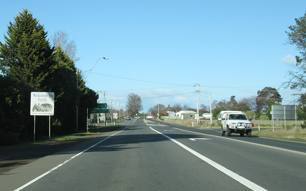
Entering
Perth: Midland Hwy (NH1) as it enters the town of Perth, July 2018. Image © Paul Rands |
|||
|
Youl
Road: Corner of Midland Hwy (NH1) and Youl Rd, Perth, July 2018. Image © Paul Rands |
|||
|
Perth
Town Centre: Midland Hwy (NH1) as it passes through Perth, July 2018. Image © Paul Rands |
|||

|
Advance
Directional Sign: AD sign at Perth approaching Drummond St (B52), July 2018. Image © Paul Rands |
|||
|
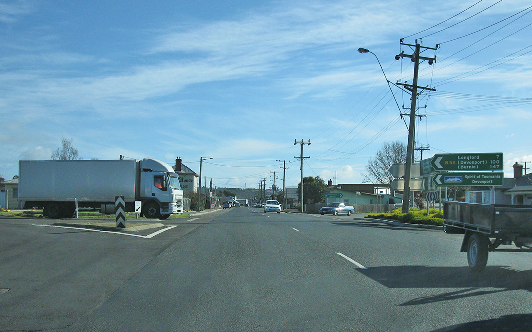
Clarence
Street, Old Punt Road & Drummond Street: Corner of Midland Hwy (NH1), Clarence St (C417), Drummond St (B52) and Old Punt Rd, Perth, July 2018. Image © Paul Rands |
|||

|
Trailblazer: One of the last NH1 trailblazers between Launceston and Hobart, Midland Hwy (NH1), Perth, July 2018. Image © Paul Rands |
|||

|
South
Esk River: Midland Hwy (NH1) as it crosses South Esk River at Perth, July 2018. Image © Paul Rands |
|||
 |
South Esk
River: Midland Hwy (NH1) as it crosses South Esk River at Perth, July 2018. Image © Paul Rands |
|||

|
Reassurance
Directional Sign: Distance sign at Perth, July 2018. Image © Paul Rands |
|||

|
Supplemental
Advance Directional Sign: Supplemental AD sign at Perth approaching Leighlands Rd (B41), July 2018. Image © Paul Rands |
|||

|
Supplemental
Advance Directional Sign: Supplemental AD sign at Perth approaching Leighlands Rd (B41), July 2018. Image © Paul Rands |
|||

|
Advance
Directional Sign: AD sign at Perth approaching Leighlands Rd (B41), July 2018. Image © Paul Rands |
|||
|
leighlands
Road: Corner of Midland Hwy (NH1) and Leighlands Rd (B41) at Perth, July 2018. Image © Paul Rands |
|||

|
Reassurance
Directional Sign: Distance sign at Perth, July 2018. Image © Paul Rands |
|||
|
Advance
Directional Sign: Advance directional sign at Perth approaching Woolmers Ln (C521), July 2018. Image © Paul Rands |
|||

|
Supplemental
Advance Directional Sign: Supplemental advance directional sign at Perth approaching Woolmers Ln (C521), July 2018. Image © Paul Rands |
|||

|
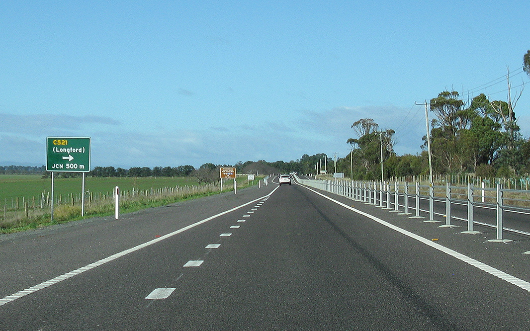
Woolmers
Lane: Corner of Midland Hwy (NH1) and Woolmers Ln (C521) at Perth, July 2018. Image © Paul Rands |
|||

|
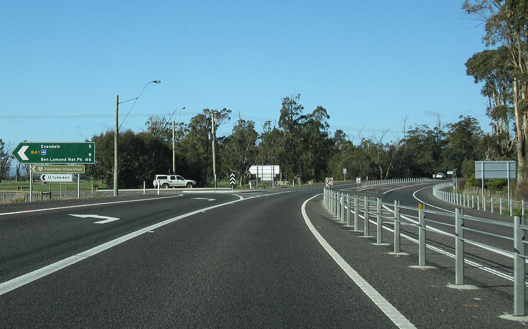
Advance
Directional Sign: AD sign at Powranna approaching Powranna Rd (B53), July 2018. Image © Paul Rands |
|||
|
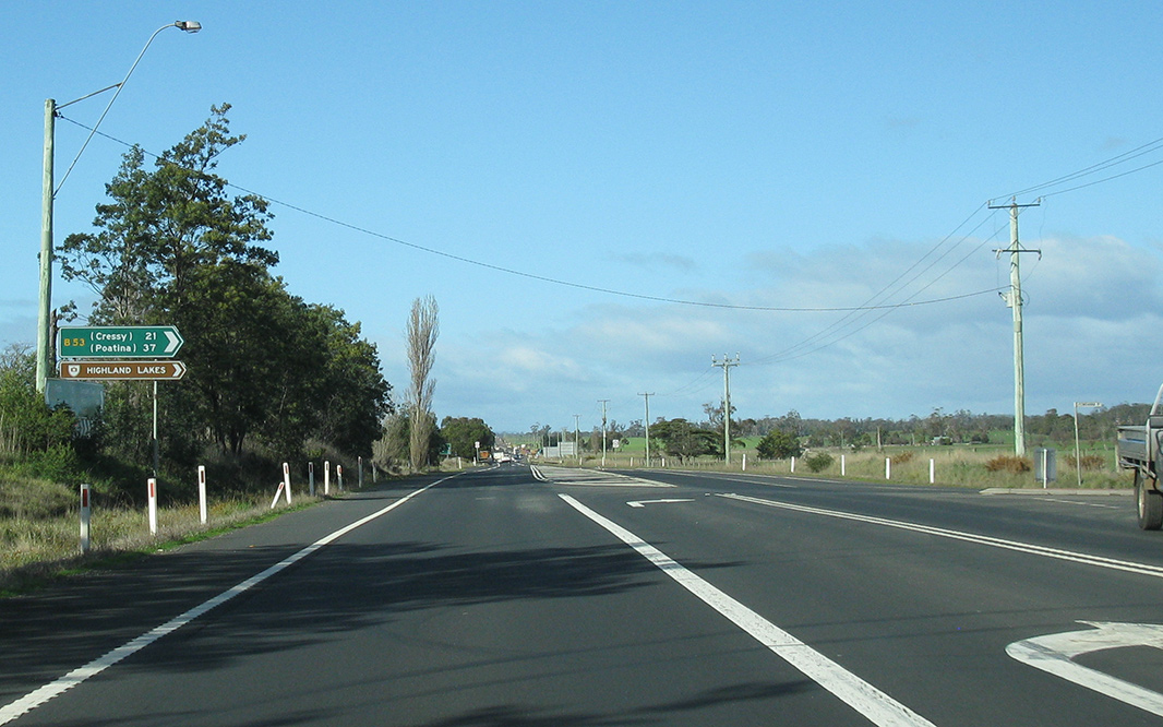
Powranna
Road: Corner of Midland Hwy (NH1) and Powranna Rd B53) at Powranna, July 2018. Image © Paul Rands |
|||

|
Reassurance
Directional Sign: Distance sign at Powranna, July 2018. Image © Paul Rands |
|||

|
Speedo
Check: Sign indicating beginning of speedometer check zone at Powranna, July 2018. Image © Paul Rands |
|||
|
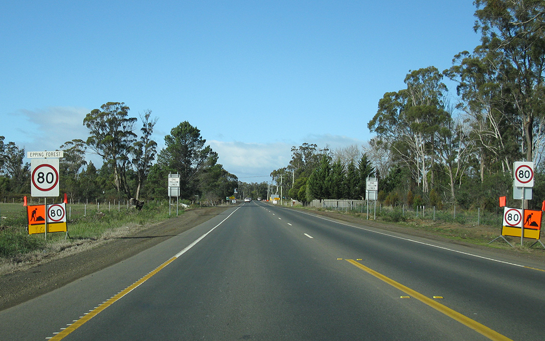
Entering
Epping Forest: Midland Hwy (NH1) as it enters the town of Epping Forest, July 2018. Image © Paul Rands |
|||
|
Epping
Forest: Midland Hwy (NH1) as it passes through the town of Epping Forest, July 2018. Image © Paul Rands |
|||

|
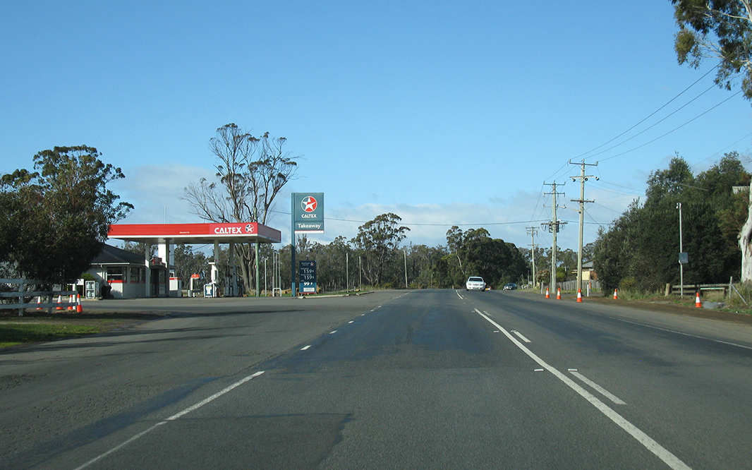
Cleveland: Midland Hwy (NH1) as it passes through the town of Cleveland, July 2018. Image © Paul Rands |
|||

|
Advance
Directional Sign: AD sign at Conara approaching Glen Esk Rd (C416), July 2018. Image © Paul Rands |
|||

|
Supplemental
Advance Directional Sign: Supplemental AD sign at Conara approaching Glen Esk Rd (C416), July 2018. Image © Paul Rands |
|||

|
Glen Esk
Road: Corner of Midland Hwy (NH1) and Glen Esk Rd, Conara, July 2018. Image © Paul Rands |
|||

|
Advance
Directional Sign: AD sign at Conara approaching Panec St, July 2018. Image © Paul Rands |
|||

|
panec
Street: Corner of Midland Hwy (NH1) and Panec St, Conara, July 2018. Image © Paul Rands |
|||

|
Supplemental
Advance Directional Sign: Supplemental AD sign at Conara approaching Esk Hwy (A4), July 2018. Image © Paul Rands |
|||

|
Advance
Directional Sign: AD sign at Conara approaching Esk Hwy (A4), July 2018. Image © Paul Rands |
|||
|
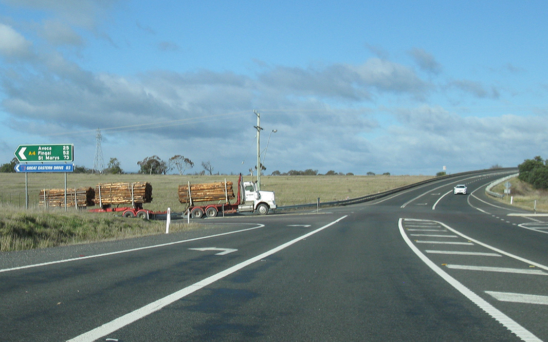
Esk
Highway: Corner of Midland Hwy (NH1) and Esk Hwy (A4) at Conara, July 2018. Image © Paul Rands |
|||

|
Reassurance
Directional Sign: Distance sign at Conara, July 2018. Image © Paul Rands |
|||
| Click
here for the continuation of NH1 between Devonport and
Launceston Click here for the continuation of NH1 between Campbell Town and Oatlands |
||||
Last updated: 16-Jul-2020 19:49
This site © Paul Rands. All rights reserved. Some portions © (copyright) by their respective and credited owners. Permission must be obtained before using any images from this site. For details, please email by clicking here.