|
|
|
|
|
| A32 | Horrocks Highway & Barrier Highway (A32) - Hallett to Giles Corner |
Statistics:
Route Numbering:

General Information:
Horrocks Highway (formerly Main North Road) is a major arterial route linking Adelaide and the Flinders Ranges and Port Augusta area.
The Barrier Highway heads north from Giles Corner into the mid-north of South Australia. The highway also passes through the Nackara Range, and heads north-easterly direction eventually reaching Cockburn, which is located on both the SA/NSW border - split in half by the actual border. The highway is named after the Barrier Ranges which are located near Broken Hill.
Multiplexes along the route include:
History:
| Giles Corner to Hallett | |
Hallett to Giles Corner | ||
| Preview: | Description: | |
Preview: | Description: |
 |
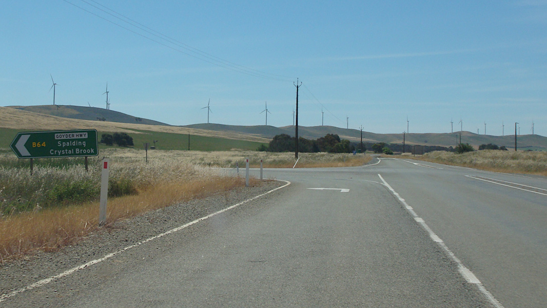
Advance Directional Sign: AD sign on Barrier Hwy (A32), approaching Goyder Hwy (B64) at Burra, November 2016. Image © Paul Rands |
|
 |
Advance Directional Sign: AD sign at Mt Bryan approaching Goyder Hwy (B64), October 2012. The B64 duplex begins at this intersection. Image © Michael Greenslade |
 |
Goyder Highway: Barrier Hwy (A32) at the Goyder Hwy (B64) intersection in Burra, November 2016. The B64 duplex commences here. Image © Paul Rands |
|
 |
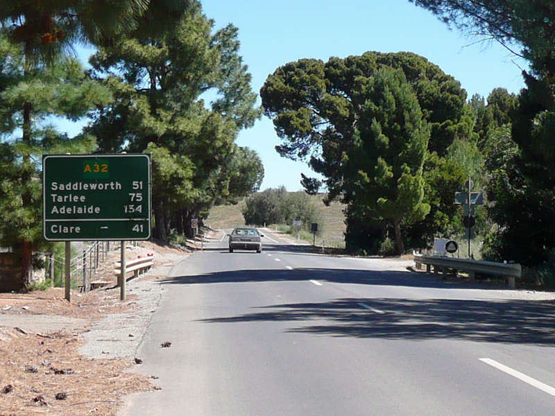
Reassurance Directional Sign: Distance sign at Mt Bryan, October 2012. Image © Michael Greenslade |
 |
Reassurance Directional Sign: Distance sign on Barrier Hwy (A32) at Burra, November 2016. Note the missing B64 shield. Image © Paul Rands |
|
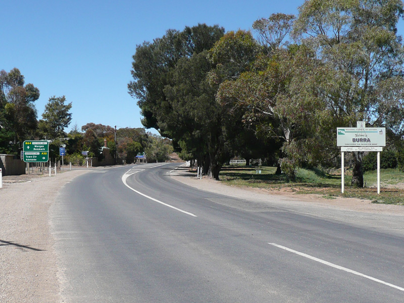 |
Entering Burra: Barrier Hwy (A32) as it enters the town of Burra, October 2012. Image © Michael Greenslade |
 |
Advance Directional SIgn: AD sign approaching Goyder Hwy (B64), Mount Bryan, November 2016. Image © Paul Rands |
|
 |
Advance Directional Sign: AD sign at Burra approaching Goyder Hwy (B64), October 2012. The B64 duplex ends at this intersection. Image © Michael Greenslade |
 |
Goyder Highway: Corner of Barrier Hwy (A32) and Goyder Hwy (B64) at Mt Bryan, November 2016. The B64 duplex ends at this junction. Image © Paul Rands |
|
 |
Commercial Street: Corner of Barrier Hwy (A32) and Commercial St, Burra, October 2012. Image © Michael Greenslade |
 |
Intersection Directional Sign: ID sign assembly facing Goyder Hwy (B64) at Mt Bryan, November 2016. Image © Paul Rands |
|
 |
Black Reassurance Directional Sign: Black distance sign at Burra, October 2012. Image © Michael Greenslade |
| Click here for the continuation of A32 between Giles Corner and Gawler Click here for A32 between SA-NSW Border and Olary |
||||
1 Location SA Map Viewer
2 Regional Council of Goyder, Barrier Highway / Copperhouse Road
Last updated: 05 Oct 2019 13:30
This site © Paul Rands. All rights reserved. Some portions © (copyright) by their respective and credited owners. Permission must be obtained before using any images from this site. For details, please email by clicking here.