|
|
|
|
|
| A13 | John Rice Avenue, Salisbury Highway, South Road, Main South Road, Victor Harbor Road & Adelaide Road (A13) - Former Alignment: Elizabeth to Wingfield |
Statistics:
Route Numbering:
General Information:
The A13, was made up of John Rice Avenue, Salisbury Highway, South Road, Main South Road, Victor Harbor Road & Adelaide Road.
One of the main north-south routes through metropolitan Adelaide and to the Fleurieu Peninsula, the route started in the northern suburb of Elizabeth Vale, then heads south west along John Rice Avenue to Salisbury then as the Salisbury Highway over the interchange with Port Wakefield Road at Greenfields to the interchange with the Port River Expressway (A9). Turning south, the road follows [Main] South Road through the north-west, western & south-western suburbs to Darlington and then as Main South Road through Morphett Vale, Reynella and Old Noarlunga. From Old Noarlunga, Main South Road continues south as the B23, while the A13 follows Victor Harbor Road to the small town of Mount Compass then south onto the holiday destination of Victor Harbor. 2
History:
| Wingfield to Elizabeth | Elizabeth to Wingfield | |||
| Preview: | Description: | Preview: | Description: | |
 |
AD Sign: Advance directional sign on Salisbury Hwy in Salisbury approaching the junction with Waterloo Corner Road and Park Terrace. April 2007. Image © Darrin Smith |
 |
AD Sign: Advance directional sign as you head southbound on Salisbury Hwy at Salisbury approaching the Waterloo Cnr Rd and Park Tce intersection. April 2007. Image © Darrin Smith |
|
 |
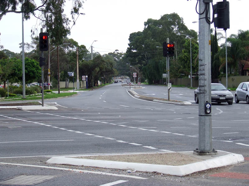
Waterloo Corner Road / Park Terrace Intersection: Looking northeast in Salisbury. April 2007. Image © Darrin Smith |
 |
Park Tce / Waterloo Cnr Rd Junction: Looking along Waterloo Corner Road from Salisbury Hwy at Salisbury. April 2007. Image © Darrin Smith |
|
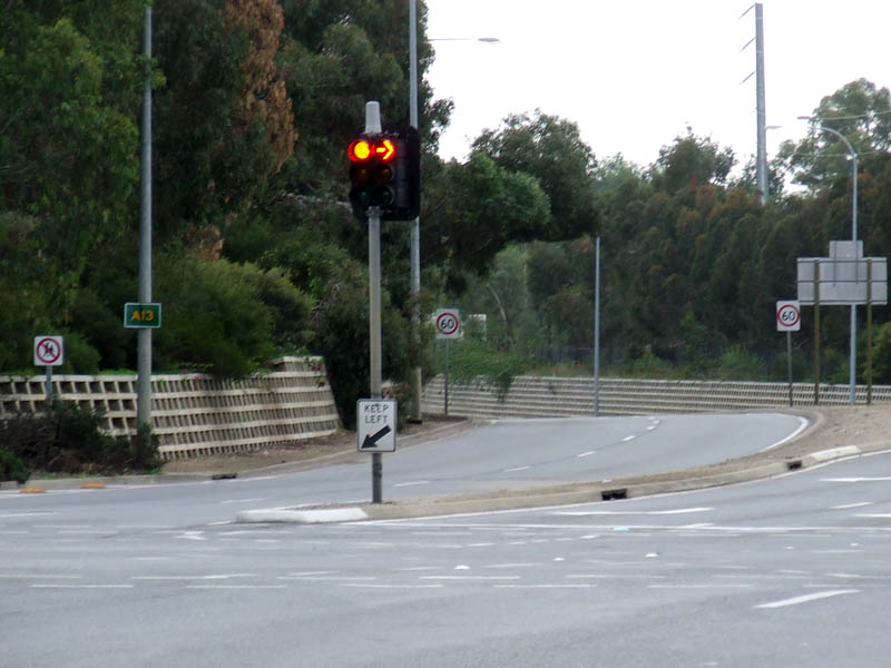 |
A13 Trailblazer: A13 trailblazer north of the Park Tce / Waterloo Cnr Rd junction at Salisbury, April 2007. Image © Darrin Smith |
 |
Advance Directional Sign: AD sign for the Kings Road (A18) intersection, southbound at Salisbury Downs. April 2007. Image © Darrin Smith |
|
 |
Approaching Salisbury Hwy: Westbound advance directional sign on Park Tce for the Salisbury Hwy / Waterloo Cnr Rd intersection at Salisbury, April 2007. Image © Darrin Smith |
 |
King Road Intersection: Looking southwest through the Kings Road intersection at Salisbury Downs, April 2007. Image © Darrin Smith |
|
 |
Approaching Salisbury Hwy: Advance directional sign as you head southeast on Waterloo Cnr Rdfor the Salisbury Hwy / Park Tce intersection at Salisbury, April 2007. Image © Darrin Smith |
 |
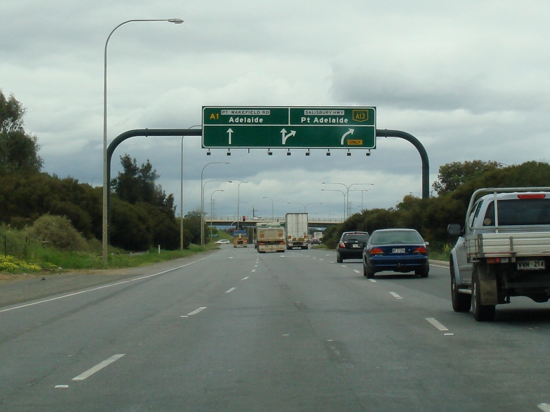
Advance Directional Sign: AD sign at Mawson Lakes approaching Port Wakefield Road (A1) interchange. July 2014. Image © Michael Greenslade |
|
 |
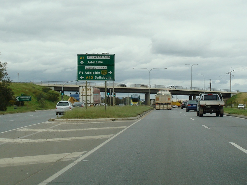
Advance Directional Sign: AD sign at Mawson Lakes on Port Wakefield Road (A1) approaching the Salisbury Highway (A13 / A13) interchange. September 2009. Image © Paul Rands |
|||
 |
Supplemental Advance Directional Sign: Supplemental AD sign at Mawson Lakes on Port Wakefield Road (A1) approaching the Salisbury Highway (A13 / A13) interchange. September 2009. Image © Paul Rands |
|||
 |
Approaching Kidman Road: Looking southwest as you approach Kidman Road at Dry Creek. September 2009. Image © Paul Rands |
|||
 |
Approaching Magazine Road: Westbound at Dry Creek, approaching Magazine Rd. September 2009. Image © Paul Rands |
|||
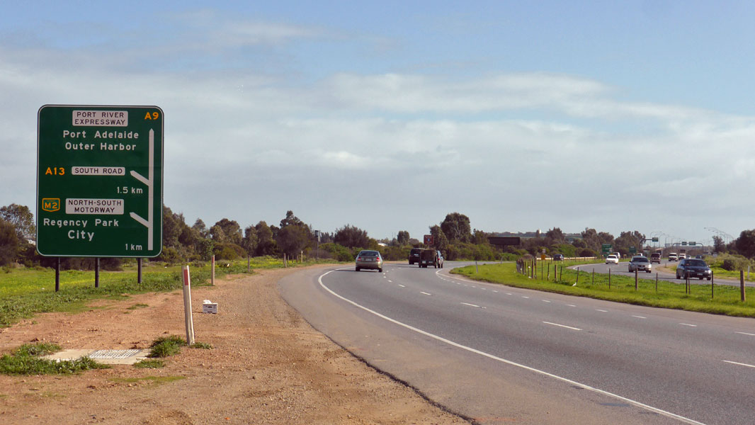 |
Advance Directional Sign: Westbound AD sign at Wingfield approaching North-South Mwy (M2), South Rd (A13 (now decommissioned)) and Port River Expwy (A9) interchange. July 2014. Click here for a photo of this location by Paul Rands from September 2009. Image © Michael Greenslade |
|||
 |
Supplemental Advance Directional Sign: Westbound supplemental AD sign at Wingfield approaching South Rd (A13 (now decommissioned)) and Port River Expwy (A9). July 2014. Click here for a photo of this location by Paul Rands from September 2009. Image © Michael Greenslade |
|||
 |
Port River Expressway / South Road Interchange: Westbound at the interchange of South Road and Port River Expressway at Wingfield. September 2009. This interchange has since been significantly altered. Image © Paul Rands |
|||
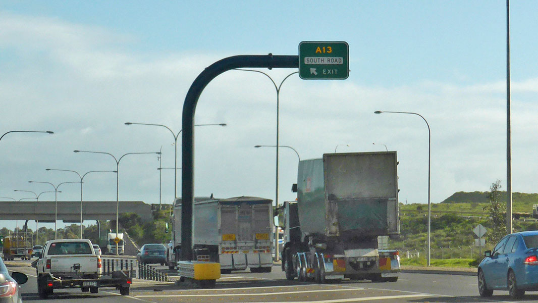 |
Port River Expressway / South Road Interchange: Westbound at the interchange of South Road and Port River Expressway at Wingfield. July 2014. Click here for a photo of this location by Paul Rands from September 2009. Image © Michael Greenslade |
|||
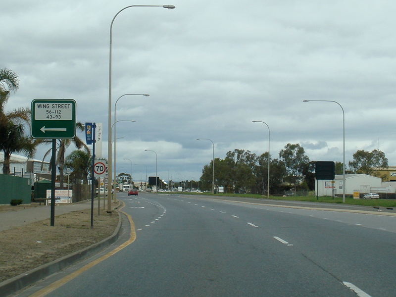 |
Approaching Wing Street: Corner of South Road and Wing Street, southbound at Wingfield. September 2009. Image © Paul Rands |
|||
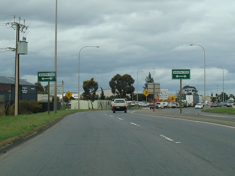 |
Approaching South Terrace: Southbound at Wingfield near South Tce. September 2009. Image © Paul Rands |
|||
 |
Approaching Cormack Road: Southbound at Wingfield near Cormack Road. September 2009. Image © Paul Rands |
|||
 |
Approaching Senna Road: Southbound approaching the intersection with Senna Road in Wingfield. September 2009. Image © Paul Rands |
|||
 |
Approaching Francis Road: Southbound at Wingfield approaching Francis Rd. September 2009. Image © Paul Rands |
|||
 |
Approaching Rosberg Road: Southbound approaching Rosberg Rd at Wingfield. September 2009. Image © Paul Rands |
|||
 |
Road train Route Signage: Signs indicating approved road train routes as you approach the Grand Junction Road (A16 / A16) junction at Wingfield. September 2009. Image © Paul Rands |
|||
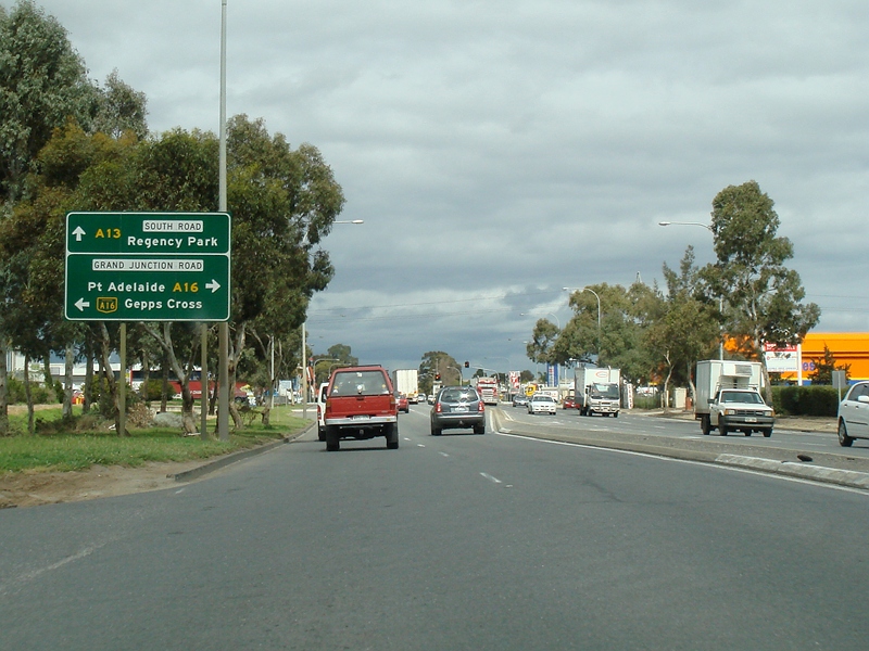 |
Advance Directional Sign: AD sign approaching the Grand Junction Road (A16 / A16) junction at Wingfield. September 2009. Image © Paul Rands |
|||
| Click here for A13 between Wingfield and Bedford Park | ||||
1 Location SA Map Viewer
2 Tristan Anderson
3 Darrin Smith
Last updated: 03-May-2019 12:02
This site © Paul Rands. All rights reserved. Some portions © (copyright) by their respective and credited owners. Permission must be obtained before using any images from this site. For details, please email by clicking here.