|
|
|
|
|

|
Kenilworth Tourist Drive (Tourist Drive 22) |
Statistics:
Route Numbering:
General Information:
Tourist Drive 22 is a rural route in the hinterland of the Sunshine Coast of Queensland.
The route links several small towns, that rely on tourism as a major part of survival. The route passes though residential, commercial, rural and bushland areas, and is quite picturesque in parts.
History:

| Eerwah Vale to Maleny | Maleny to Eerwah Vale | |||
| Preview: | Description: | Preview: | Description: | |
 |
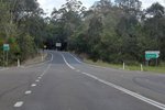
Intersection
Directional Sign: ID sign at Eerwah Vale at the interchange with Bruce Hwy (M1), June 2010. Image © Rob Tilley |
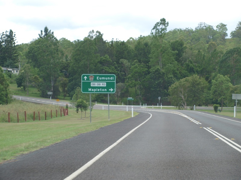 |
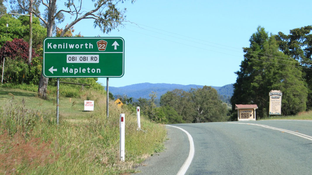
Advance
Directional Sign: AD sign on Eumundi-Kenilworth Rd (TD22) approaching Obi Obi Rd at Kenilworth, January 2009. Image © Rob Tilley |
|
 |
Advance
Directional Sign: AD sign at Eerwah Vale on Memorial Dr approaching Kenilworth Tourist Drive (Eumundi-Kenilworth Rd) (TD22) and Bruce Hwy (M1), November 2018. Click here for a photo of this location by Rob Tilley from May 2012. Image © Rob Tilley |
 |
Obi Obi
Road: Corner of Eumundi-Kenilworth Rd (TD22) and Obi Obi Rd at Kenilworth, January 2009. Image © Rob Tilley |
|
 |
Intersection
Directional Sign: ID sign at Eerwah Vale at the interchange with Memorial Dr and Bruce Hwy (M1), November 2018. Click here for a photo of this location by Rob Tilley from June 2010. Image © Rob Tilley |
|||
 |
Distance
Sign: Reassurance Directional sign at Eerwah Vale, January 2009. Image © Rob Tilley |
|||
 |
Reassurance
Sign: Sign indicating the length and route number of Kenilworth Tourist Drive, January 2009. Image © Rob Tilley |
|||
 |
Distance
Sign: Reassurance Directional sign at Eerwah Vale, January 2009. Image © Rob Tilley |
|||
 |
Trailblazer: TD22 trailblazer at Belli Park,November 2018. Image © Rob Tilley |
|||
 |
Trailblazer: Detour Route trailblazer at Belli Park, November 2018. Image © Rob Tilley |
|||
 |
Advance
Directional Sign: AD sign at Belli Park approaching Skyring Creek Road, November 2018. Image © Rob Tilley |
|||
 |
Skyring
Creek Road: Kenilworth Tourist Drive (TD22) at the junction with Skyring Creek Road at Belli Park, November 2018. Image © Rob Tilley |
|||

|
Distance
Sign: Reassurance Directional sign at Belli Park, January 2009. Image © Rob Tilley |
|||
 |
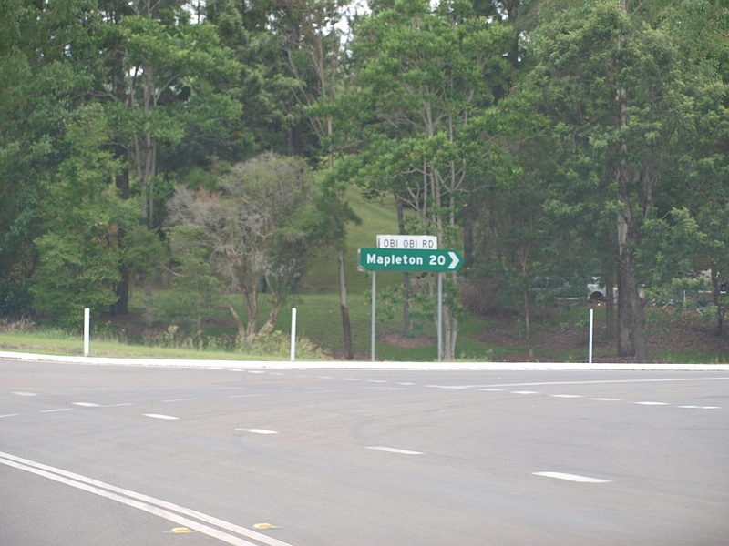
Advance
Directional Sign: AD sign on Eumundi-Kenilworth Rd (TD22) approaching Obi Obi Rd at Kenilworth, May 2012. Image © Rob Tilley |
|||
 |
Obi Obi
Road: Corner of Eumundi-Kenilworth Rd (TD22) and Obi Obi Rd at Kenilworth, November 2018. Image © Rob Tilley |
|||
 |
Advance
Directional Sign: AD sign on Eumundi-Kenilworth Rd (TD22) approaching Elizabeth St (TD22) and Kenilworth-Brooloo Rd (SR51) at Kenilworth, January 2009. Image © Rob Tilley |
|||
 |
Elizabeth
Street & Kenilworth-Brooloo Road: Eumundi-Kenilworth Rd (TD22) at the junction with Elizabeth St (TD22) and Kenilworth-Brooloo Rd (SR51) at Kenilworth, January 2009. Image © Rob Tilley |
|||
1 Transport
and Main Roads, Queensland state-controlled roads and region maps, North
Coast Region: front
2 Queensland Government, Ministerial
Media Statements, More money for Eumundi-Kenilworth Road, 6 July 2007.
3 Transport and Main Roads,
Publications, Maleny-Kenilworth Road Construction Update, July 2009.
4 Transport and Main Roads,
Publications, Main Roads Local Links, In and Around The North Coast,
September 2009.
Last updated: 03 Nov 2019 16:00
This site © Paul Rands. All rights reserved. Some portions © (copyright) by their respective and credited owners. Permission must be obtained before using any images from this site. For details, please email by clicking here.